Home / Coordinates and Location Formats
Coordinates and Location Formats
Latitude and longitude, decimal degrees, degrees minutes seconds, plus codes, and geocoding: what each format means, how to convert between them, and how to use them.
- Add GPS Coordinates to QGIS: From Spreadsheet to Map Points in Ten Minutes
Your GPS coordinates are sitting in a spreadsheet and you want them on a map. This guide walks the complete QGIS routine: prepare a clean CSV, import it with the Delimited Text layer dialog, set longitude as X and latitude as Y with the EPSG:4326 reference system, diagnose the famous swapped-coordinates mistake in ten seconds, and save the result as a permanent layer instead of a temporary one.
- Can Latitude and Longitude Be Negative? Signs, Explained
Yes: negative latitude means south of the equator, negative longitude means west of Greenwich, and about half the world lives at a negative coordinate. The sign table, worked pairs from all four hemisphere combinations, and what a dropped minus sign actually costs in kilometers.
- Convert GPS Coordinates to XYZ: The Earth-Centered System, Explained With Worked Examples
Latitude and longitude are angles on a globe. XYZ coordinates, properly called ECEF, are something else entirely: distances in meters from the center of the Earth along three axes. This guide explains the frame with a room-and-globe picture, gives the conversion formulas with every constant named, and works real examples, the equator point, the North Pole, and three landmarks, with numbers computed from the official WGS 84 constants so you can check your own converter against them.
- Convert Latitude and Longitude to Decimal Degrees in Excel: Three Working Methods
A web converter handles one coordinate pair at a time; a spreadsheet handles the column of four hundred your GPS export just handed you. This guide gives the three Excel methods that work: the split column formula =A2+B2/60+C2/3600, the sign rule for southern and western hemispheres, single cell parsing with TEXTBEFORE and TEXTAFTER for text like 41°24'12"N, and a VBA function for files that will not quit. It ends with the paste values step everyone forgets.
- Convert Latitude and Longitude to Degrees Minutes Seconds (DMS)
The full decimal-to-DMS method with two worked pairs, the Eiffel Tower and Big Ben, covering both hemispheres. Includes the carry rule everyone trips on, spreadsheet formulas for Excel and Google Sheets, and a round-trip check that proves your answer before you hand it to anyone.
- Convert Latitude and Longitude to Northing and Easting: First, Which Grid?
Northing and easting" is not one coordinate system; it is the shared vocabulary of several grids, and the same latitude and longitude pair converts to completely different numbers in each. This guide starts with the only question that matters, which grid your numbers belong to, explains UTM and the British National Grid from the ground up, works published examples end to end, and finishes with the order, zone, and hemisphere errors that put converted points in the wrong county or the wrong ocean.
- Convert Latitude and Longitude to State Plane Coordinates: Zones, Feet, and One Verified Example
State Plane is the coordinate system American surveying, engineering, and land records actually run on: flat grids, in feet, one zone at a time. This guide explains the zone system for beginners, why two different kinds of feet can move your point by six feet, and walks one published, independently checked example, Denver in the Colorado Central zone, from degrees to feet with every number shown.
- Convert Latitude and Longitude to UTM: Zones, Eastings, and Northings
UTM replaces curving degrees with a flat grid of meters, which is why soldiers, surveyors, and rescue teams navigate in it. This guide teaches the zone formula on five real places, decodes a complete UTM reference part by part using the published CN Tower example, and is honest about the one thing this page's converter cannot do.
- Convert Latitude and Longitude: Every Format, One Worked Pair
Latitude and longitude come in three common formats, and every device wants a different one. This hub shows one real place, the Sydney Opera House, in decimal degrees, DMS, and degrees decimal minutes, explains which tool wants which format, and gives a three-point check that proves a conversion is right before you trust it.
- Coordinates of Antarctica: Why a Continent Has No Single Point
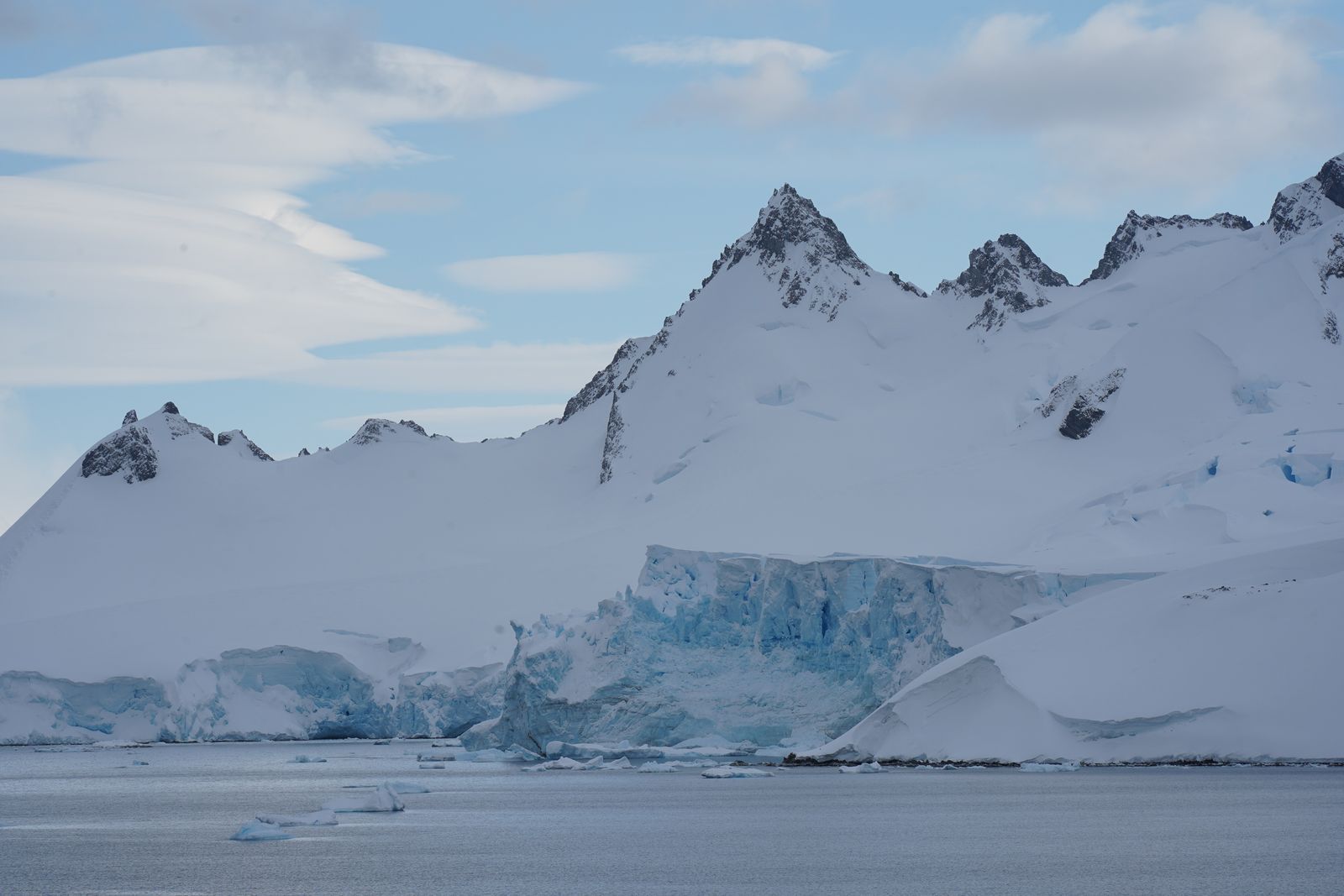
Ask for the coordinates of Antarctica and every authority gives you a different point: the South Pole, a centroid in the interior, a pin near the coast. This guide explains why the question has no single answer, lists the points the major sources actually publish with their sources named, and gives you a decision table for picking the right point for a map label, a dataset, or a journey.
- Coordinates of My Location: Your Pair Right Now, and How Much to Trust It
This search has one job: show you your own latitude and longitude, now. The tool below does that the moment you allow location access, in decimal degrees, DMS, DDM, and as a plus code. Then this guide does the part the instant answer tools skip: the same pair with no tool at all on iPhone and Android, what the accuracy radius really means, and how to judge whether your coordinates are good enough for the thing you are about to use them for.
- Geocoding in ArcGIS Pro: Build a Locator, Geocode a Table, and Rematch What Failed
Geocoding in ArcGIS Pro is a three-act workflow, not a button: you build a locator from reference data with the Create Locator tool, choosing its role and mapping its fields; you run your address table against it with Geocode Addresses; and you rescue the unmatched and tied records in Rematch Addresses, which is where the quality of the whole job is decided. This guide walks all three acts, explains composite locators and the World Geocoding Service alternative, and teaches the table hygiene that determines your match rate before any tool runs.
- GPS Coordinates Accuracy: What the Numbers Actually Promise
GPS accuracy is two different quantities wearing one name. There is the accuracy the system promises, stated by GPS.gov as about 4.9 meters, 16 feet, for a GPS-enabled smartphone under open sky, and there is the precision your coordinate merely displays, where a seventh decimal place claims centimeter resolution that no phone fix delivers. This guide separates the two: the official figures and what they actually measure, the error budget of atmosphere, multipath, and satellite geometry, a decimal-places table computed from the length of a degree, and the correction ladder from dual-frequency phones up to RTK.
- GPS Coordinates App for Android: What to Look For, and the Settings That Matter More
Android already knows your coordinates; the right app just shows them well. What separates a good GPS coordinates app from a bad one, the feature table drawn from real Play Store listings, and the two Android settings, location mode and battery optimization, that decide whether any coordinates app works at all.
- GPS Coordinates Apps: See, Save, and Share Your Exact Position
A coordinates app does one job: show your latitude and longitude now, in every format, with the accuracy radius that tells you how much to trust it. The no-install routes first, the features that matter ranked honestly, and the emergency routine for reading a pair aloud.
- GPS Coordinates vs Latitude and Longitude: They Are the Same Thing, Said Three Ways
GPS coordinates and latitude and longitude are not two systems but one, because the numbers a GPS receiver reports are latitude and longitude, almost always on the WGS 84 datum and usually written in decimal degrees. The confusion is real though, since the same point also appears as degrees minutes seconds and as degrees decimal minutes, and some systems write longitude first. This guide settles the identity, converts one worked example through all three formats, and catalogs the traps, order swaps, sign errors, and datum shifts, that move points by miles.
- GPS Coordinates vs UTM: Angles for the Globe, Meters for the Ground
GPS coordinates speak in angles, degrees of latitude and longitude that work everywhere on Earth but measure nothing directly, while UTM speaks in meters inside one of sixty zones, so distances and grid references become simple arithmetic at the price of a zone you must never forget. This guide explains how UTM is built, works the zone calculation for four cities, shows a full UTM reference beside the same point in latitude and longitude, and tells you which system belongs in your GPS, your GIS, and your paper map work.
- GPS Coordinates With Altitude: Why the Third Number Disagrees With the Map
A GPS position has a third number, and it routinely disagrees with the elevation on signs and maps by tens of meters. The reason is geometry: GPS measures height above a smooth mathematical ellipsoid, while maps publish height above the geoid, the lumpy surface of mean sea level. This guide explains both heights, the conversion surveyors use with models like GEOID18, and how to read a GPS altitude sensibly.
- GPS Coordinates: How Many Decimal Places Do You Actually Need?
Each decimal place in a coordinate divides the ground distance by ten: five places is about 1.11 meters, six is about 11 centimeters, seven is about 1.1 centimeters. But GPS.gov puts a phone's accuracy at about 4.9 meters at 95 percent confidence under open sky, so most extra digits describe precision your device never measured. This guide gives the full table, the longitude twist, and the rule for matching places to the source.
- Grid Reference to Decimal Degrees: From an OS Grid Reference to Latitude and Longitude
A British grid reference like TL 449 594 is a precise address inside the Ordnance Survey National Grid, but mapping software outside that world wants latitude and longitude. Converting takes three moves: letters to a coordinate square, digits to easting and northing, and a datum aware transformation from OSGB36 to WGS 84 that can shift the answer by about a hundred meters if you skip it. This guide walks the whole chain with a worked example.
- How to Calculate the Z Coordinate: Three Different Z's, Three Different Answers
The letter z names at least three different quantities, and each is calculated differently: the height above a graph's plane in 3D mathematics, the elevation stored in GIS data, and the Z of Earth centered XYZ coordinates used by GPS itself. Asking "how do I calculate z" without saying which z gets you a confident answer to the wrong question. This guide separates the three, gives the working method for each, and anchors them with numbers you can verify.
- How to Convert Latitude and Longitude to an Address
Turning coordinates into an address has a name, reverse geocoding, and you can do it with no code at all: paste the pair into a map, or check the point in the explorer here first. What the result really is, how much to trust it, and why two services give two different answers.
- How to Convert Latitude and Longitude to Decimal Degrees
Convert degrees minutes seconds, or degrees decimal minutes, into decimal degrees with one formula, worked digit by digit on real pairs: decimal = degrees + minutes/60 + seconds/3600, with the hemisphere sign applied as its own step, plus the spreadsheet formula for a whole column.
- How to Find a Coordinate Point in AutoCAD: ID, Status Bar, LIST, and Bulk Export
AutoCAD knows the coordinates of every point in a drawing, and offers five ways to read them, from the one click ID command to a full DATAEXTRACTION export of every vertex to CSV. This guide covers each method with when it is the right one, the status bar and Dynamic Input live readouts, the Properties palette, and the WCS versus UCS trap that makes a correct looking readout describe the wrong origin.
- How to Find a Coordinate Vector (Linear Algebra): The [x]B Method, Worked
Finding a coordinate vector means answering one question: what weights rebuild the given vector from the basis vectors? Set x equal to a combination c1 b1 plus c2 b2, turn it into a system of equations, and solve for the weights; those weights, in order, are the coordinate vector [x]B. This guide works the method end to end on checkable examples, including B = {(1,1), (1,-1)} with x = (3,1) giving [x]B = (2,1), then shows the matrix shortcut with the inverse of the basis matrix and how to verify every answer by recombining.
- How to Find Cartesian Coordinates: Read X and Y Right, Then Convert Polar Both Ways
Finding Cartesian coordinates is a counting skill before it is a math skill: from the origin, count along x first, then up y, and let the quadrant set the signs. This guide teaches the counting method on real grids, gives the quadrant sign table, converts between Cartesian and polar coordinates in both directions with worked examples you can check, and ends with the bridge nobody draws: on every map grid, easting is x and northing is y.
- How to Find Centroid Coordinates: Points, Triangles, Polygons, and Places on Earth
The centroid is the balance point of a shape or a set of points, and the method for finding it depends on what you have. A set of points averages directly, a triangle averages its three vertices, a polygon needs the shoelace based formula that this guide works through by hand on an L shaped example, and points spread across the Earth need a spherical correction that changes the answer by hundreds of kilometers. Each method comes with a fully worked example whose arithmetic you can check.
- How to Find Coordinate Notation: Reading and Writing Points in Every System
Coordinate notation is the grammar of points: which number comes first, which signs and letters attach, and which brackets wrap the pair. Get the grammar wrong and a correct point lands in the wrong ocean, or the wrong quadrant. This guide covers the ordered pair of the classroom, the latitude and longitude orders and formats of geography, grid references and UTM, and the notation traps that swap, drop, or mislabel numbers, with one famous point written correctly in every system.
- How to Find Coordinates Between Two Points: Midpoint, Section Formula, and Beyond
The point between two points is not one point; it is a family, and the tool that names them all is the section formula. This guide covers the midpoint as the special case everyone meets first, the general formula for any ratio or fraction of the way, worked examples in the plane, and the geographic version, where the honest midpoint of two cities is computed on a sphere and lands measurably away from the naive average of latitudes and longitudes.
- How to Find Coordinates by Address: Forward Geocoding in Maps, Nominatim, and Bulk
Turning a street address into latitude and longitude is called forward geocoding, and there are three ways to do it depending on how many addresses you have. This guide covers the ten second map method for one address, the free Nominatim search for a handful, and the batch discipline for a spreadsheet full, plus how to read a result's confidence, why two geocoders disagree, and the verification step that catches the wrong town before it reaches your map.
- How to Find Coordinates From a Linear Equation in Any Form
Finding coordinates from a linear equation is one skill wearing several costumes: pick a value for one variable, solve for the other, and you have a point. This guide teaches the general method that works for any form, the two-intercept shortcut for standard form with a worked example, the substitution table for everything else, and how to check that your points really sit on the line.
- How to Find Coordinates From a Photo: Reading the GPS Tag in the File
Most phone photos carry their birthplace inside the file: a GPS tag in the EXIF metadata, written at the moment of capture. This guide shows how to read it on Windows, Mac, iPhone, and Android with no special software, how to convert the degrees minutes seconds the tag stores into the decimal form maps expect, and the two reasons the tag is often missing: platforms strip it on upload, and the photo you were sent is not the original file.
- How to Find Coordinates From Slope-Intercept Form: Build (x, y) Points From y = mx + b
An equation in slope-intercept form, y = mx + b, is a machine for producing coordinates: choose any x, run it through the equation, and the y that comes out pairs with it into a point on the line. The fastest point is free, because b is the y-coordinate where the line crosses the axis, the point (0, b). This guide builds points three ways, from the intercept, by walking the slope, and from a substitution table, with fully checked worked examples for a rising line and a falling one.
- How to Find Coordinates in Google Earth: Cursor Readout, Placemarks, and Formats
Google Earth shows the coordinates of any point in the lower right corner as your cursor moves, but most people never notice the readout, and fewer know it can speak degrees minutes seconds instead of decimals. This guide covers the live cursor readout in Google Earth Pro and the web version, pinning an exact point with a placemark and reading its properties, switching the display format under Tools and Options, turning on the lat long grid, and searching by coordinates to fly to a pair you already have.
- How to Find Coordinates in QGIS: Status Bar, Copy Coordinates, and Field Calculator
QGIS shows coordinates in more places than any other GIS, and each answers a different question. The status bar reads the pair under your cursor in the project CRS. Right click and Copy Coordinates captures one point exactly. The Field Calculator functions $x and $y write every feature's coordinates into its attributes, and Add Geometry Attributes exports them to a CSV a spreadsheet can open. This guide gives all five routes, and puts the CRS check first, because a coordinate read in the wrong coordinate system is the most common wrong answer in QGIS.
- How to Find Coordinates on a Garmin GPS: Handhelds, Car Units, and Watches, in the Right Format
A Garmin always knows where it is; the skill is persuading it to show you the number, in a format you can use. This guide covers reading your current coordinates on Garmin handhelds, car units, and watches, where the position format setting lives on each, how to enter coordinates someone gives you, and the datum rule (leave WGS 84 alone unless a paper map tells you otherwise) that prevents the one error that can move a point by hundreds of meters.
- How to Find Coordinates on a Map
Find the exact coordinates of any place with a map click, a phone long-press, Google Maps, Apple Maps, a photo, or an address, and learn how to read any pair sent to you.
- How to Find Coordinates on Apple Maps: Drop a Pin, Swipe Up, Copy the Pair
Apple Maps does not print coordinates on a place's main card, but the pair is two gestures away. Touch and hold any spot to drop a pin, swipe the card up, and the Coordinates section shows latitude and longitude in decimal degrees, ready to copy. On a Mac, right click and Drop Pin does the same job. This guide gives the exact steps for iPhone and Mac, shows how to copy and share the pair, and adds the Compass app cross check that reads the same point in degrees, minutes, and seconds.
- How to Find Coordinates on Google Maps: Right Click, Long Press, and Reading the Pair
Google Maps hides coordinates in plain sight. On a desktop, right click any spot and the coordinates are the first line of the menu, ready to copy with a click. On Android and iPhone, touch and hold an unlabeled spot until a pin drops, and the pair appears in the search box or the place sheet. This guide gives the exact gesture on each platform, teaches the three formats Google Maps accepts back, decimal degrees, DMS, and DDM, and covers the rules that keep a pair valid: latitude first, latitude between minus 90 and 90, longitude between minus 180 and 180, and a period, never a comma, as the decimal separator.
- How to Find Coordinates on the Unit Circle: Build Every Point From Two Triangles
Every coordinate on the unit circle comes from one rule and two triangles. The rule: at angle theta, the point is (cos theta, sin theta). The triangles: the isosceles right triangle, which produces the 45-degree point with both coordinates equal to root 2 over 2, and the halved equilateral triangle, which produces the 30 and 60 degree points from the sides 1/2 and root 3 over 2. From those, a reference angle and a sign pattern generate all sixteen standard points. This guide derives them instead of asking you to memorize them, and checks every point with x squared plus y squared equals 1.
- How to Find Coordinates Rotated 90 Degrees: The Rules for Clockwise, Counterclockwise, and Any Center
Rotating a point 90 degrees is a swap and a sign change: counterclockwise about the origin, (x, y) becomes (-y, x); clockwise, it becomes (y, -x). This guide gives the rules for all four quarter and half turns, worked examples you can check, the three-step method for rotating about a point that is not the origin, and the distance check that proves your answer is right.
- How to Find Coordinates When the Midpoint Is Given: Work Backwards to the Endpoint
Most midpoint problems run forward: two endpoints, find the middle. This one runs backwards: you are given one endpoint and the midpoint, and the other endpoint is missing. The fix is the midpoint formula read in reverse: the unknown endpoint is twice the midpoint minus the known endpoint, coordinate by coordinate, x2 = 2mx - x1 and y2 = 2my - y1. Geometrically, the midpoint is a mirror and the missing endpoint is the reflection of the known one through it. This guide works the method with positive numbers, with negatives, in 3D, and with the re-averaging check that proves every answer.
- How to Find Direction Angles of a Vector: Formula, Worked Examples, and the Cos Squared Check
The direction angles of a vector are the three angles it makes with the positive x, y, and z axes, found by dividing each component by the magnitude and taking the inverse cosine. This guide gives the formulas, works three examples in full (including the negative component case most students get wrong), and shows the identity cos squared alpha plus cos squared beta plus cos squared gamma equals 1, which checks every answer.
- How to Find NAD83 Coordinates: Convert, Look Up, or Read Them Off Control Points
Your GPS speaks WGS84, but American surveying, state GIS data, and federal maps speak NAD83, and the two differ by a meter or two. This guide explains what NAD83 is, why the difference exists, and the three practical routes to NAD83 coordinates: converting with the National Geodetic Survey's NCAT tool, reading published values off survey control points, and transforming data inside GIS software.
- How to Find the Centre Coordinates of a Circle: Four Methods, Worked in Full
The centre of a circle hides in plain sight in every form of its equation, and each representation gives a different way to read it off. In standard form the centre is the pair being subtracted, with a sign flip that catches everyone once. In general form, completing the square, or the shortcut of halving the x and y coefficients and flipping their signs, recovers it. From points, the midpoint of any diameter or the intersection of two perpendicular bisectors finds it geometrically. This guide works all four methods with checkable arithmetic.
- How to Find the Centroid Coordinates of a Triangle: Average the Vertices, Then Prove It With the Medians
The centroid of a triangle is the average of its three vertices: add the three x coordinates and divide by three, add the three y coordinates and divide by three. For the triangle (0, 0), (6, 0), (3, 6) that gives (3, 2). This guide works the formula, proves the answer with the median construction the centroid is defined by, the intersection of the medians, dividing each one 2 to 1 from the vertex, and separates the centroid from its most common impostor, the circumcenter, which for the same triangle sits at (3, 2.25), close enough to fool a quick answer and different enough to fail a careful one.
- How to Find the Coordinate Direction Angles of a Moment: Cross Product First, Then the Angles
The direction angles of a moment hide a trap that the direction angles of an ordinary vector do not: nobody hands you the moment. You have to build it first, as the cross product M = r x F of the position vector and the force, and only then take the direction angles of the vector you built, from cosines of its components over its magnitude. This guide works the full two-stage problem with two complete examples, including the cross product arithmetic component by component, the magnitude, all three angles, the squared-cosines check that proves them, and the extension to a moment about a specified axis.
- How to Find the Coordinate System in ArcGIS: Pro and ArcMap, Layer and Map
Every ArcGIS layer and every ArcGIS map frame carries its own coordinate system, and they are often not the same. This guide gives the exact clicks in ArcGIS Pro (layer Properties, Source tab, Spatial Reference; Map Properties, Coordinate Systems) and in ArcMap (layer Properties Source tab, data frame Properties), explains the Web Mercator default that surprises newcomers, and teaches the extent number trick for identifying a system nobody documented.
- How to Find the Coordinate System in AutoCAD: Drawing Settings, the CGEOCS Variable, and the Plain AutoCAD Catch
Whether an AutoCAD drawing has a coordinate system at all depends on which AutoCAD you are running. In Civil 3D and Map 3D the answer lives in Drawing Settings on the Units and Zone tab, and the CGEOCS system variable will read it out in one line. In plain AutoCAD there is no assigned geographic coordinate system to find, only the WCS and UCS. This guide covers all three checks, how to read what they tell you, and how to identify an unknown system from the size of the coordinates themselves.
- How to Find the Coordinate System in Civil 3D: MAPCSASSIGN, the Status Bar, and Drawing Settings
A Civil 3D drawing carries its coordinate system inside the file, and there are four places that will tell you what it is: the MAPCSASSIGN dialog, the status bar readout, the Drawing Settings Units and Zone tab, and the coordinate tracking tools. This guide uses all four, then shows the detective work for drawings that arrive with no system assigned and no documentation, where the coordinate numbers themselves are the only clue.
- How to Find the Coordinate System of a File or Dataset: The Digit Test and the EPSG Registry
A file full of coordinate pairs and no label is a solvable mystery. The numbers themselves confess the system: geographic coordinates in decimal degrees never exceed three digits left of the decimal point, while projected coordinates in meters or feet run to six, seven, or eight digits. This guide works the identification procedure in order, extent digits first, then units and zone logic, then the .prj file and metadata, then the EPSG registry at epsg.io with its more than 10,000 registered systems, and ends with the datum trap, where two files in the same projection still disagree by a hundred meters because one is NAD27 and the other NAD83.
- How to Find the Coordinates of a Midpoint: The Average, and When It Lies
The midpoint between two coordinates is usually just an average: add the latitudes and divide by two, add the longitudes and divide by two. That recipe is exact enough across a city and quietly wrong across an ocean, where the true midpoint follows the great circle and can sit hundreds of kilometers from the average. This guide teaches both methods with worked numbers, shows the antimeridian trap that puts a Pacific midpoint in the Atlantic, and separates a geographic midpoint from a halfway meeting point, which is a different thing entirely.
- How to Find the Coordinates of the Point of Intersection of Two Lines
The point of intersection of two lines is the one point that satisfies both equations at once, so finding it is solving the pair simultaneously. This guide works the two everyday methods, substitution and elimination, on the same example so you can watch them agree, adds the determinant formula for when the coefficients get ugly, and treats the two special outcomes as first-class answers: parallel lines that never meet, and coincident lines that meet everywhere.
- How to Find the Coordinates of the Vertex of a Parabola: Three Methods
The vertex is the point where a parabola turns, and finding its coordinates is a three-line skill once the formula is understood rather than memorized: h equals negative b over 2a, and k is the function evaluated at h. This guide works that method on real numbers, then teaches the two cross-checks, vertex form by completing the square and the midpoint of the roots, and finishes with the sign errors and swapped-coordinate mistakes that account for nearly every wrong answer.
- How to Find the Direction Angles of a Vector: Cosines First, Angles Second
The direction angles of a vector are the three angles it makes with the positive x, y, and z axes, and every textbook route to them runs through the direction cosines: divide each component by the magnitude, then take the inverse cosine. This guide works the method on real vectors, including the verification identity that catches arithmetic slips, the 2D shortcut with its quadrant trap, and the same machinery applied to a moment vector, where the angles describe the axis a torque acts around.
- How to Find the Length Between Coordinates: The Distance Formula, in 2D, 3D, and on the Earth
The length between two coordinates is the distance formula, which is Pythagoras wearing coordinates: square the gap in x, square the gap in y, add, and take the square root. This guide works the method on real pairs, including A(5, 3) to B(minus 3, minus 3), whose gaps of 8 and 6 give a length of exactly 10, extends it to 3D where the gaps of 3, 4, and 12 give exactly 13, and draws the boundary where flat plane math stops and the Earth's curve takes over, which is where the haversine distance of 306.1 km between New York and Boston comes from.
- How to Get Coordinates From a KML File: Text Editor, Google Earth, QGIS, and Code
A KML file is plain XML text, and its coordinates sit in the open, inside coordinates tags, in longitude, latitude, altitude order. This guide extracts them four ways: reading the raw file in a text editor, opening it in Google Earth, pulling them out with QGIS (including a full CSV export of every placemark), and parsing the file in Python, with the order trap and the KMZ zip explained first.
- How to Read Latitude and Longitude on a Sectional Chart
A VFR sectional chart is a paper coordinate machine: its graticule is drawn in degrees and minutes, ticked at one-minute intervals, and built so a pilot can pull a latitude and longitude off any point with a plotter and thirty seconds. This guide teaches the reading method step by step, the minute-is-a-mile trick, and the errors that make beginners misread by a whole degree.
- Latitude and Longitude Format
Decimal degrees, degrees decimal minutes, and degrees minutes seconds all name the same points. Learn to read each format, convert by hand, and choose the right one every time.
- Latitude and Longitude History: From Eratosthenes to the Greenwich Vote
Latitude was measurable in the ancient world; longitude resisted for two thousand years. Eratosthenes sized the Earth around 240 BCE, Hipparchus proposed the grid, Ptolemy mapped some 8,000 places from a meridian through the Fortunate Isles, and the problem was only cracked after the 1707 Scilly wreck, the 1714 Longitude Act, and John Harrison's H4 chronometer. The grid was finally standardized in 1884, when 25 nations voted in Washington and chose Greenwich by 22 to 1.
- Latitude and Longitude Practice: Exercises With a Full Answer Key
Five graded practice sets on real places, not invented grid points: read pairs, name hemispheres, identify landmarks, convert formats, and spot the three classic errors, every answer worked in full, with the converter on the page as your checking tool.
- Latitude and Longitude Questions and Answers: The Standard Questions, Explained Plainly
Why does latitude stop at 90 but longitude runs to 180? How long is one degree? Why does the Earth turn 15 degrees an hour, and why do you need both numbers to find anything? This article answers the standard latitude and longitude questions the way a good teacher would, in plain language, with a real place attached to every answer so you can check each one with the converter on this page.
- Latitude and Longitude to MGRS: How the Military Grid Reference System Works
MGRS turns a latitude and longitude into a compact grid reference like 18S UJ 23478 06483: a grid zone designator, a 100 kilometer square, and digits that truncate rather than round to pin the point inside it. This guide converts a worked example by hand, the Washington Monument, explains the precision ladder from 100 kilometers down to 1 meter, and marks the system's edges, the 80S to 84N band where the polar grid takes over.
- Latitude and Longitude vs Northing and Easting: Degrees on a Globe vs Meters on a Grid
Latitude and longitude locate a point with angles on a globe; northing and easting locate it with meters on a flat grid inside one zone. This guide compares the two systems side by side, explains false easting and false northing, the UTM zone system underneath most northing and easting values, and the axis-order trap (latitude first versus easting first) that swaps more coordinates than any other single mistake.
- Latitude and Longitude: The Two Numbers That Address the Earth
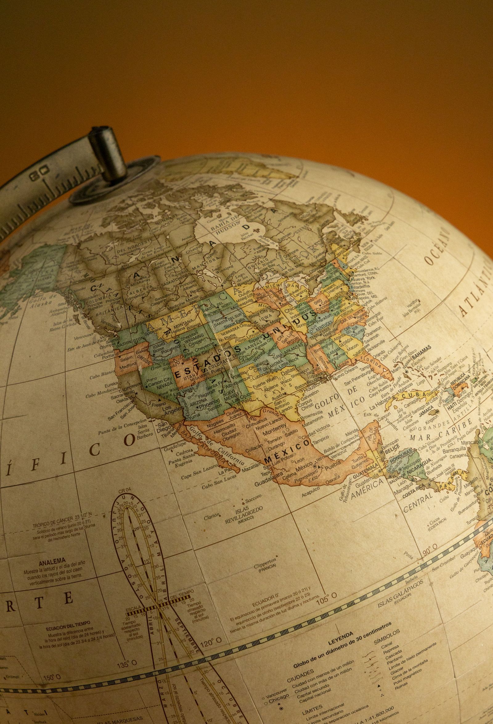
Latitude and longitude are the Earth's address system: one number for how far north or south, one for how far east or west. How the grid works, how to picture any pair and say roughly where on Earth it is, and the famous pairs table to practice on.
- Latitude, Longitude, and Time Zones: The 15-Degree Rule and Its Exceptions
Time zones are longitude wearing a clock. The Earth turns 360 degrees in 24 hours, so every 15 degrees of longitude is one hour and every single degree is four minutes of time. This guide builds the ideal system from that arithmetic, works examples in both directions, and then maps the real world onto it: the standard meridians, half-hour and quarter-hour offsets, single-zone giants, and the date line's zigzags. Latitude's role is the honest footnote: it never sets the zone, but it bends daylight and the width of a degree.
- Plus Code vs Coordinates: Which One to Send, and When
A plus code and a coordinate pair name the same ground in two different grammars: the pair is universal, precise to any degree, and opaque; the code is shorter, shareable by voice, computable offline, and local by design. This guide compares them head to head, cell sizes from the Open Location Code specification, typo behavior, offline behavior, and the scenarios, courier drops, trailheads, disaster relief, survey work, where each one wins.
- Plus Code vs what3words: Open vs Proprietary, and Which One to Actually Use
Plus codes and what3words both turn a location into a short code, and they could not be more different underneath. One is an open algorithm anyone can compute offline for free, derived from latitude and longitude. The other is a proprietary dictionary of three-word addresses that needs a license and an API. This comparison covers precision, error behavior, offline use, cost, and which system fits hikers, developers, deliveries, and emergency use.
- What Are Coordinates? The Address System Behind Every Map and Graph
Coordinates are an ordered set of numbers that pin down one exact point by measuring its distance from agreed reference lines. On paper, the pair (x, y) measures from two axes that cross at the origin; on Earth, latitude and longitude measure angles from the equator and the prime meridian, which play the same roles at planetary scale. This explainer builds the idea from a blank page to the whole planet, covers why the order of the numbers flips between math class and map apps, and shows how the same point appears in different formats and units.
- What Is a Plus Code
A plus code is a short, free address made from latitude and longitude that works anywhere on Earth, even where streets have no names. Here is how it works and how to use one.
- What Is Geocoding? How an Address Becomes a Point on the Map
Geocoding is the process that turns a text address into geographic coordinates a map can plot, by matching the address against reference data of streets and buildings. Reverse geocoding runs the journey backwards, from a coordinate pair to the nearest address. This guide explains the matching pipeline step by step, why accuracy has a ceiling set by the reference data, the difference between rooftop and interpolated results, and the main services that do it, from Google to the open Nominatim.
- Zoom to Coordinates in QGIS: The Lat Lon Tools Method, Without the Swap Trap
Someone hands you a coordinate pair and a QGIS project, and asks the simplest question in mapping: take me there. QGIS answers it awkwardly out of the box, because its built-in coordinate box thinks in the project's own units. This guide installs and uses the Lat Lon Tools plugin, which accepts the pair in the formats people actually send, decimal degrees, DMS, WKT, and more, and zooms straight to it, with the one setting that prevents the classic swapped-pair disaster.