Every time you type an address into a map and a pin appears, geocoding did the work. Geocoding is the conversion of a text description of a place, usually a street address, into geographic coordinates, a latitude and longitude pair that software can plot, route to, and analyze. It feels instant and magical, and it is neither: it is a matching exercise against enormous reference datasets, with judgment calls at every step, which is why two geocoders can place the same address a street apart and both be honestly reporting their data. This guide explains the pipeline, the accuracy ceiling it lives under, and the reverse process that turns coordinates back into addresses. For the single pair version of this task by hand, convert latitude and longitude to address is the practical companion; this page is the concept underneath it.
Home / Coordinates and Location Formats
What Is Geocoding? How an Address Becomes a Point on the Map

Photo: Gustavo Fring / Pexels
Geocoding Explorer: The Pair an Address Becomes
Click a place and read the coordinates a geocoder would return for it. A geocoder reaches this pair by matching text against reference data; this explorer reaches it by your click, which is the rooftop tier every geocode hopes for.
Map data © OpenStreetMap contributors. Coordinates are read from the map itself, in the WGS 84 system your phone uses.
The Pipeline: Parse, Match, Interpolate
A geocoder processes an address in three stages. Parsing breaks the text into components: house number, street name, city, region, postal code, country, and it must survive the world's handwriting: abbreviations (St, St.), missing commas, misspellings, and addresses written in a dozen national formats. Good parsers normalize aggressively, expanding abbreviations and standardizing order, because the match stage can only find what the parse stage correctly identified. Matching then searches the reference data for that street in that city, and for the house number on that street. Interpolation handles the common case where the exact building is not in the data: the reference knows the street segment and the range of numbers along it (say 100 to 198 on the north side), so the geocoder estimates the position of number 150 proportionally along the segment. That estimate is the famous weakness and strength of geocoding in one move: it places addresses the dataset has never seen, at the price of placing them approximately.
The Accuracy Ceiling: Reference Data Is Destiny
The deepest fact about geocoding is that a geocode can never be more accurate than the reference data behind it. Providers describe results in tiers, and learning the tiers teaches you how much to trust any pin a geocoder gives you. Rooftop (or parcel) accuracy means the reference data contains the building itself, and the point sits on the structure; this is the gold standard, available where providers have ingested building footprints or address point datasets. Interpolated accuracy is the street segment estimate described above, typically accurate to the right property frontage on a regular street and potentially off by several houses on irregular ones. Street or locality accuracy is the fallback: the exact street or number could not be matched, so the point lands on the street's center or the town's centroid, a result that looks identical on the map and means something entirely weaker. Professional geocoding APIs report which tier each result achieved (Google's API, for instance, returns a location type such as ROOFTOP or RANGE_INTERPOLATED), and the professional habit is to read the tier before trusting the point. A delivery operation, an emergency service, and a marketing map need different tiers, and confusing them is how packages reach the wrong gate with total confidence.
Forward and Reverse: The Two Directions
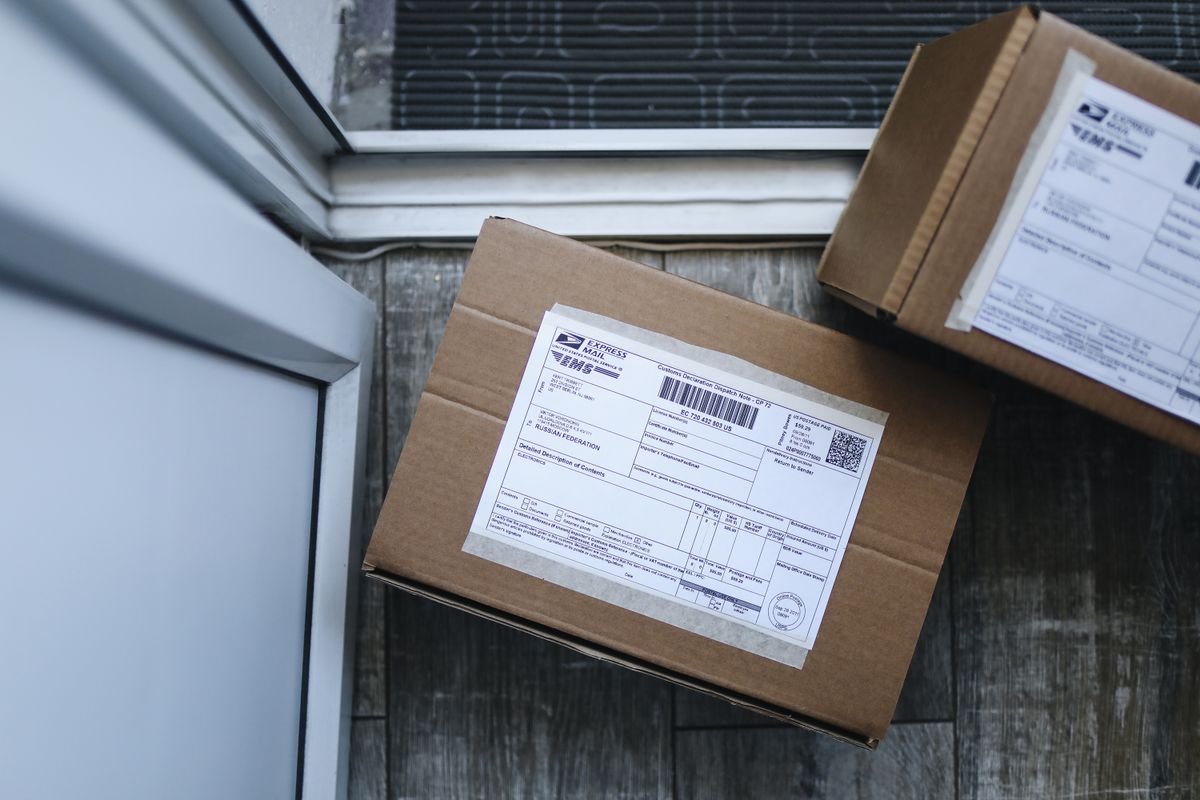
Forward geocoding is the address to coordinates journey described above. Reverse geocoding runs it backwards: given a coordinate pair, report the nearest address or place. It powers the "what is here" tap in every map app and the address line that appears under a dropped pin. Reverse geocoding is not a true inverse: it does not recover the address you started from, it finds the closest known address in the reference data to your point, which for a point in a field may be a farmhouse hundreds of meters away, reported with the same confident formatting. The variants of the head query fold in here naturally: "what is geocoding and reverse geocoding" is this two direction picture, and "what is geocoding used for" is answered by the applications that consume the pairs: delivery routing, service territory mapping, emergency dispatch, real estate analysis, ride hailing pickup points, and every store locator on the web. In each, the pattern is the same: text humans write becomes points computers can compute with, and the tier of the match quietly decides how well the application works.
The Providers, and the Open Option
The geocoding most people meet belongs to Google (inside Maps and as a priced API), Apple (inside its maps and device frameworks), and the specialist platforms such as HERE and Mapbox, each with its own reference data and pricing per request. The open alternative is Nominatim, the geocoder for OpenStreetMap data: free to use under its usage policy, built entirely on community mapped data, and therefore strongest exactly where the community maps best, which for much of Europe and many cities rivals the commercial sets, while in sparsely mapped regions its interpolation leans on thinner reference data and the ceiling shows. Government open data increasingly feeds all of them: many countries now publish official address registers that raise every geocoder's ceiling at once. Choosing a provider is a judgment about coverage in your region, request volume, license terms for storing results (commercial APIs often restrict caching and storage of geocodes), and tier reporting. The deciding test is empirical: geocode a hundred addresses whose true locations you know, and measure the error and the tiers. Geocoding quality is local, and brochures do not know your streets.
A Short History of the Idea
Geocoding is older than the computer geocoder. The landmark usually cited is the DIME system built for the 1970 United States census, which encoded street segments with address ranges on both sides, the direct ancestor of the interpolation every modern geocoder performs; the census bureau's later TIGER files carried the same segment and range model into the digital era and seeded a generation of GIS. The conceptual ancestor is older still: John Snow's 1854 cholera map of London was, in spirit, a manual geocode, converting the addresses of the dead into points whose pattern indicted a water pump. What computers changed was scale and speed, not the logic: parse the address, match it to reference geography, place the point, and know how the point was placed. That last clause, knowing the tier, is the thread from Snow's hand plotted map to the API response in your application, and it is why this guide treats the accuracy ceiling as the heart of the subject rather than a footnote.
Geocoded Coordinates Are Not GPS Coordinates
One distinction protects every project that uses geocoding: a geocoded pair is derived from data about addresses, while a GPS pair is measured at the place itself, and the two carry different authority. A delivery driver standing at the correct door holds a measured position good to meters. The geocode that sent him there was an estimate from reference data, possibly interpolated along the street, and its accuracy is the tier, not the driver's. Confusing the two corrupts datasets quietly: field teams record GPS positions, office teams geocode addresses, the results merge into one column labeled "coordinates," and a year later nobody knows which points were measured and which were estimated. The professional habit costs nothing: store the source and tier beside every pair (geocoded rooftop, geocoded interpolated, GPS measured, manually placed), because downstream decisions, routing a truck versus siting a facility, deserve to know. This is the same provenance discipline this site applies to map pairs everywhere, and geocoding, as the largest single source of coordinates in the world, is where it matters most.
Batch Geocoding and Data Hygiene
Geocoding one address is a lookup; geocoding a customer file of fifty thousand is a data project, and its lessons round out the concept. Input hygiene dominates results: consistent country, separated fields rather than one pasted string, and postal codes present, each measurably raise match rates. Every batch run produces a residue of unmatched and low tier results that need human review or a second provider, and budgeting that review is part of the process, not a failure of it. Results also age: streets are renamed, numbers change, buildings rise, so a stored geocode is a snapshot whose vintage should be recorded beside it. Finally, the pairs a geocoder returns are in decimal degrees, latitude and longitude, in the WGS 84 frame used by GPS; if they are headed for a GIS, they join the same coordinate discipline as every other pair, the subject of our latitude and longitude format guide. Geocoding, seen whole, is translation between the address system humans built and the coordinate system machines compute in, and like all translation it is faithful exactly where its dictionaries are complete.
Related Guides
This guide does not stand alone. The coordinates guides below take up the questions it leads into:
- How to Find a Coordinate Point in AutoCAD: ID, Status Bar, LIST, and Bulk Export: AutoCAD knows the coordinates of every point in a drawing, and offers five ways to read them, from the one click ID command to a full...
- How to Find the Coordinates of the Point of Intersection of Two Lines: The point of intersection of two lines is the one point that satisfies both equations at once, so finding it is solving the pair simultaneously.
- How to Calculate the Z Coordinate: Three Different Z's, Three Different Answers: The letter z names at least three different quantities, and each is calculated differently: the height above a graph's plane in 3D mathematics,...
- Geocoding in ArcGIS Pro: Build a Locator, Geocode a Table, and Rematch What Failed: the concept put to work in Pro
Frequently Asked Questions
What is geocoding in simple terms?
Geocoding converts a text address into geographic coordinates, a latitude and longitude pair, so a map or program can plot and use the location. It works by parsing the address and matching it against reference data of streets and buildings.
What is the difference between geocoding and reverse geocoding?
Forward geocoding turns an address into coordinates. Reverse geocoding turns coordinates into the nearest known address or place. The reverse result is the closest address in the reference data, not necessarily the address of the exact point.
Why is my geocoded pin not on the right building?
Because of the accuracy tier. If the result was interpolated, the geocoder estimated the position along the street segment from the number range, since the building itself is not in its reference data. Rooftop tier results, where the building is in the data, sit on the structure. Check the tier your provider reports.
What is Nominatim?
Nominatim is the free geocoding service built on OpenStreetMap data. It performs forward and reverse geocoding under a usage policy, and its accuracy mirrors the community's mapping: strong where OpenStreetMap is densely mapped, thinner where it is not.
Can geocoding be wrong even when it returns a result?
Yes. A geocoder returns its best match, which may be a street center or town centroid when the exact address cannot be matched. Providers signal this through result tiers or quality codes; reading them is essential. A returned coordinate is a claim with a confidence level, not a guarantee.
Photo credits: Gustavo Fring (Pexels); Polina Tankilevitch (Pexels). Photos are served from this site; follow the credit to the library page for the original.