How to Convert Latitude and Longitude to an Address
By the Osm4People editorial team
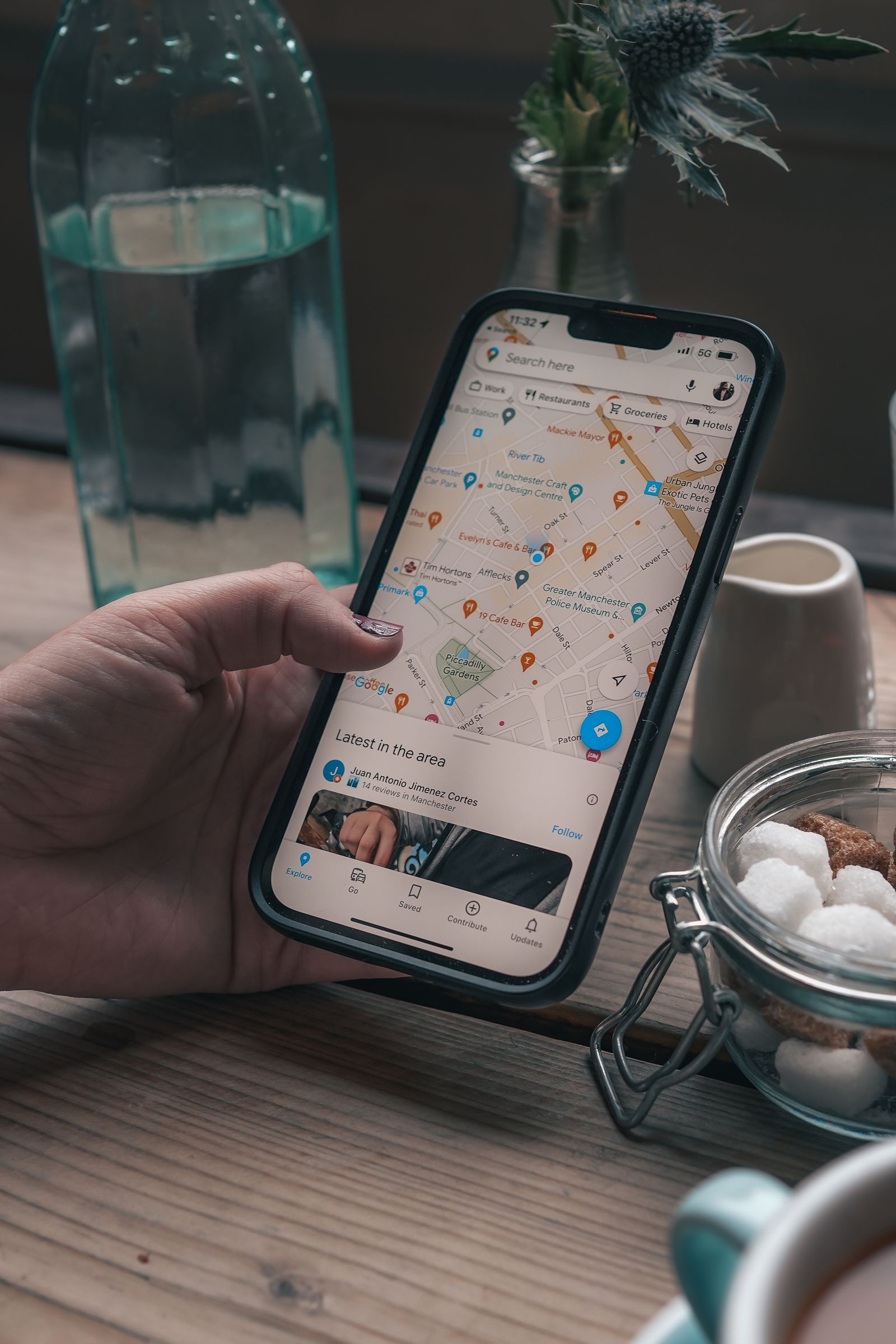
Photo: Nathan J Hilton / Pexels
Somebody sends you two numbers, a photo carries two numbers in its hidden data, a GPS log ends with two numbers, and what you actually need is words: what place is that? The job has a technical name, reverse geocoding, and a plain one: turning coordinates into the nearest address or place name. This guide does it with no code and no accounts, explains what the answer really represents, and teaches the judgment the lookup tools skip: how much to trust the address you get back.
Start with the explorer on this page. Before asking any service for an address, put the pair into the map and look at where the point actually sits: on a roof, in a park, in the middle of a lake. That ten-second look is the difference between using reverse geocoding well and being misled by it confidently.
Interactive map
Coordinate Explorer: See the Point Before You Name It
Enter the pair you were given, or click the map, and confirm the point sits where you expect before you trust any address a service attaches to it.
Decimal degrees40.689167, -74.044444
Latitude40.689167° N
Longitude74.044444° W
Degrees minutes seconds40° 41' 21.00" N, 74° 02' 40.00" W
Degrees decimal minutes40° 41.350' N, 74° 02.667' W
Copy the pair exactly as you received it, signs and decimal points intact: for example 40.779400, -73.969100.
Paste it into the Google Maps search box, on a phone or a computer, and search.
The map jumps to the point and drops a pin. The card at the bottom shows the nearest address or place name Google holds for that spot, along with the plus code.
Read the result the way this article teaches below: it is the nearest mapped feature, which may be the building, the building's street, or the park the building stands in.
Route 2: Paste the Pair Into Apple Maps
The same trick works on iPhone, iPad, and Mac. Paste the pair into the Apple Maps search field and the app resolves it to a pin with an address or place card. Apple sometimes answers with a place name where Google answers with a street address for the identical point; neither is wrong, and the difference is explained in the section on why services disagree.
Route 3: Check the Point Here, Then Name It
The explorer on this page returns coordinates and plus codes rather than addresses, and that is precisely its use in this job: verification before naming. Enter the pair, confirm the point sits on the feature you expect, then take the pair to a maps service for its address with your eyes already educated. If the point sits in an unexpected place, an ocean, the wrong continent, the pair itself is broken, most often by a dropped minus sign or a swap, and no address lookup will rescue it. Fix the pair first; latitude and longitude practice trains exactly those catches.
A Worked Example: Central Park
Take the pair 40.779400, -73.969100, the Belvedere Castle point inside Central Park, New York, whose plus code is 87G8Q2HJ+Q9. Paste it into a maps service and the answer comes back as a place, not a house number: Central Park, or the castle itself, with the surrounding streets named around it. That is reverse geocoding telling the truth in its own way. The point is inside a park; there is no 40.779400 Street. The nearest postal addresses belong to buildings on the park's edges, and a service that confidently returned one of those numbers as this point's address would be lying with precision. The lesson generalizes: the quality of a reverse geocoded answer is measured by how honestly it matches the kind of place the point is in, not by how street-address-shaped it looks.
A busy New York City intersection with taxis and buses, seen from above
What the Result Really Is
A reverse geocoder owns a database of mapped features: buildings with addresses, road segments, parks, towns, each with its own geometry. Given your point, it finds the nearest features and composes an answer from them. Three consequences follow, and knowing them is most of this skill.
First, the answer describes a neighbor, not the point. A point in a garden returns the house the garden belongs to, if the database knows it, or the street if it does not. Second, the answer is only as good as the mapping. New developments, rural areas, and informal settlements are mapped thinly or late, so the nearest feature may be a road a field away. Third, different databases disagree honestly: one service's point sits on the building footprint and returns its number, another's sits on the road centerline and returns the street with the nearest number interpolated. Both services did their jobs; their maps differ.
How Much to Trust the Answer: A Field Guide
Where the point sits
What you usually get
How far to trust it
City building, well mapped
The building's street address
To the door, usually
City park, plaza, campus
The place name, nearby streets
As a place, fully; as an address, loosely
Suburb
The house or its nearest neighbor
To a house or two; check the map pin against roofs
Rural area
The road name and the town or county
As a direction, not a destination; navigate to the point itself
New development
The older road or the neighboring district
Weakly; the map has not caught up with the builders
Water, forest, desert
The nearest town or feature, sometimes far away
As a region only; the point is the address
The last row deserves emphasis. For points off the addressed grid, the coordinates are the address, and the modern way to share them is the pair itself or its plus code, which is why our what is a plus code guide exists: a code like 87G8Q2HJ+Q9 delivers a person to a castle in a park that has no street number at all.
Why Two Services Give Two Different Addresses
Run the same pair through two services and small disagreements are normal: one returns number 210, the other 214, for the same point on the same street. The causes are the ones above: different building footprints, different choices between the parcel center and the road, different freshness. Large disagreements, different streets or different towns, mean something else: one service misread your pair. The usual culprit is a pair pasted with its numbers swapped, which some search boxes quietly forgive by reordering, and others take literally into another hemisphere. When services disagree wildly, go back to the explorer, plot the pair yourself, and trust the map your own eyes check.
A Privacy Note Before You Convert Other People's Coordinates
Coordinates feel anonymous because they are numbers. They are not. Converting a pair from a photo someone shared can reveal their home, their child's school run, or the location of something they photographed privately and never meant to place. Convert pairs that are yours to convert, or that were sent to you for that purpose. And run the lesson in reverse for your own sharing: before forwarding a photo, remember it may carry its coordinates inside it, as our how to find coordinates on a map guide explains, and a plus code you post publicly is an address anyone can walk to.
The Photo Case, Worked Slowly
The most common real version of this job starts with a photograph. A friend sends a picture of a cabin, a viewpoint, a strange rock formation, and the photo file quietly contains the coordinates of the moment it was taken. Open the photo's details, on an iPhone by swiping up in Photos, on Android in Google Photos the same way, and read the location section: many phones even show a small map there, which is reverse geocoding already done for you. If only the numbers are shown, copy them exactly and run Route 1 above. Then apply the trust table with the setting in mind: a cabin photo usually geotagged itself from a phone fix in the woods, which can sit tens of meters from the building, so the address you get may belong to the road below the cabin rather than the cabin. The pair, plotted in the explorer, is the ground truth; the address is a helpful rumor about it. When you navigate there later, navigate to the point, and let the address serve as the spoken directions for the humans in the car.
One more photo trap: screenshots and images passed through many messaging apps have their location data stripped, so the absence of coordinates proves nothing about where a picture was taken. If the numbers matter, ask for the original file from the photographer's phone.
Related Guides
If this page answered part of the question, these coordinates guides cover the rest of the same ground:
It is the conversion of coordinates into the nearest address or place name, the reverse of geocoding, which turns an address into coordinates. Every map search box performs both directions; this article uses the coordinates-to-words direction.
How do I find the address from coordinates for free?
Paste the pair into Google Maps or Apple Maps and read the pin's card. No account, no code, and no fee. Check the point in the explorer on this page first if the pair is unfamiliar, so you can judge the answer against the actual location.
Why did I get a place name instead of a street address?
Because the point is in a place that has a name rather than a number: a park, a campus, a beach, a landmark. That is the honest answer for such points. The coordinates or the plus code are the precise way to share them.
Why is the address slightly wrong for my house?
The service is returning a neighbor: the parcel center, the road's nearest known number, or the building next door, depending on its map. Rural and new addresses are the most approximate. Navigate by the point itself when the last hundred meters matter.
Can I convert many coordinates to addresses at once?
Services exist for batch conversion, aimed at developers and data work, and they use the same nearest-feature logic at scale. For a handful of pairs, the paste method in this article is faster than signing up for anything.
What do I do when the pair lands in the ocean?
Suspect the pair, not the ocean. A dropped minus sign mirrors a coastal point into the sea, and a swapped pair often lands in water too. Plot it in the explorer here, check the signs and the order, and correct the pair before converting again.
Photo credits: Nathan J Hilton (Pexels); Willian Justen de Vasconcellos (Pexels). Photos are served from this site; follow the credit to the library page for the original.