Convert Latitude and Longitude to State Plane Coordinates: Zones, Feet, and One Verified Example
By the Osm4People editorial team
Photo: Muharrem Alper / Pexels
If you work with American land, you will eventually be handed a drawing whose corners are not latitude and longitude but pairs of large numbers in feet, labeled with a zone name like "Colorado Central". That is the State Plane Coordinate System, the working grid of US surveying, engineering, public works, and property records. It exists for the same reason UTM does: degrees are awkward to measure a fence line in. But State Plane makes different trade-offs from UTM, finer zones, feet instead of meters, accuracy tuned for work inside one state, and those trade-offs create beginner traps that this guide names before they cost you a misplaced point. By the end you will know how to find your zone, which foot your numbers are in, and how to check a conversion against a published example.
One honest note, in this site's standing style: the converter on this page converts between latitude and longitude formats and does not compute State Plane values, because a State Plane conversion is a full map projection with zone-specific constants, not a format restyle. What this article gives you is the understanding, the traps, and a verified example to test dedicated tools against, exactly as our UTM guide does for that system.
Interactive tool
Coordinate Converter: Start From a Verified Decimal Pair
State Plane converters all begin from decimal degrees, and this site's own tools work in latitude and longitude rather than plane feet. Verify your pair here first, then take it to NADCON or your state tool with the zone and the foot unit chosen.
From decimal degrees
Degrees minutes seconds40° 41' 21.00" N, 74° 02' 40.00" W
Degrees decimal minutes40° 41.350' N, 74° 02.667' W
Plus code (11 digits)87G7MXQ4+M67
Plus code (10 digits)87G7MXQ4+M6
Your latitude breaks down as 40 degrees, 41 minutes, 21.00 seconds. One degree is 60 minutes, one minute is 60 seconds, so a second of latitude is about 31 meters on the ground.
From degrees minutes seconds
Decimal degrees40.689167, -74.044444
Degrees decimal minutes40° 41.350' N, 74° 02.667' W
Plus code (11 digits)87G7MXQ4+M67
Conversions use the WGS 84 coordinate system, the same one GPS satellites and phone maps use. Plus codes are computed with the open location code algorithm, the same method Google Maps uses.
What State Plane Is, in One Honest Paragraph
State Plane divides the United States into about 120 zones, most of them drawn along county lines inside a single state. Small states may be one zone; long or wide states get several (California has six, Texas five). Each zone is its own flat map projection, chosen to fit the zone's shape: zones taller than wide use a Transverse Mercator projection (a cylinder wrapped around a meridian), and zones wider than tall use a Lambert Conformal Conic projection (a cone over two standard parallels). Each zone has its own origin and false easting and northing, so coordinates are only meaningful with their zone attached, exactly like UTM. The payoff for all this fragmentation is accuracy: inside its small zone, a State Plane grid distorts distances so little that a surveyor can treat the flat numbers as ground truth for most work, which is precisely what land records need. The modern system is built on the NAD83 datum, and a newer modernization (NATRF2022 and the updated State Plane system) is rolling out through the 2020s with additional zone designs; the concepts in this article apply to both generations.
Step One: Find Your Zone (By Boundary, Not by Lookup)
The beginner instinct is to find a table that maps cities to zones. Resist it. Zones follow boundaries, mostly county lines, and the correct method is to find which zone's boundary contains your point. State GIS portals publish zone boundary maps, the NGS (National Geodetic Survey) provides zone lookup tools, and any real converter asks for or detects the zone from the point itself. Three habits keep you safe. First, a point near a boundary deserves a deliberate check, because a parcel can sit in one zone while the town it is named after sits in another. Second, when a project straddles a boundary, the project picks one zone, usually the one covering most of the work, and converts everything into it; coordinates from two zones must never be mixed in one drawing. Third, always record the zone with the numbers, in the file name, the drawing title block, or the spreadsheet header. "Easting 3,143,339.81" alone is a number looking for its map, the same warning our UTM guide gives about bare eastings.
Step Two: The Two Feet Problem
State Plane coordinates are traditionally in feet, and the United States has historically had two feet. The US survey foot is defined as exactly 1200/3937 of a meter. The international foot is exactly 0.3048 of a meter. The difference is two parts per million, invisible on a house lot and very visible on coordinates counted from a distant origin: on a northing of 3,000,000 ft, mixing the two feet moves the point by about 6 ft. Most states specify US survey feet for their zones; a handful, including Arizona, Michigan, Montana, North Dakota, Oregon, and South Carolina, specify international feet. The federal government deprecated the US survey foot at the end of 2022 in favor of the international foot, but decades of records in survey feet remain legally live, and state rules vary. So the working rule is absolute: a State Plane coordinate is not fully described until you can say zone, datum, and which foot. When a conversion looks wrong by a few feet in a consistent direction, the foot is the first suspect, before you blame the data.
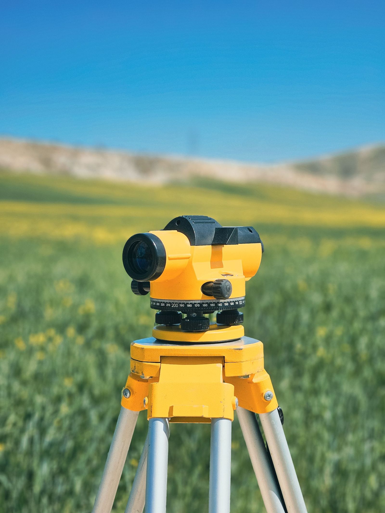
Surveying instruments on tripods, the tools whose daily work State Plane coordinates exist to serve
The Verified Worked Example: Denver, Colorado Central
Here is a complete conversion you can test any tool against, using values published by a State Plane converter and checked against the PROJ projection library to within a centimeter.
Input: Denver, Colorado, at latitude 39.7392, longitude -104.9903 (WGS 84 decimal degrees; for State Plane work NAD83 is used, and at this precision the two datums' coordinates for the same point agree within about 1 to 2 m, which the next section discusses).
Zone: Colorado Central, FIPS zone code 0502, a Lambert Conformal Conic zone covering the Denver metro area.
Output in US survey feet: Easting 3,143,339.81 ft, Northing 1,694,535.46 ft.
Output in meters: Easting 958,091.889 m, Northing 516,495.441 m.
Reference codes: this zone is EPSG:2232 in US survey feet (NAD83 / Colorado Central (ftUS)), EPSG:26954 in its older NAD27 form, and EPSG:6427 in the newer NAD83(2011) realization. EPSG codes are the universal names for coordinate systems in software; quoting the code is the unambiguous way to say which system a file is in.
Now read the result like a surveyor. The easting counts feet eastward from the zone's false origin, which sits west of the zone so all values stay positive. The northing counts from a false origin south of the zone. Neither number means anything in the next zone over, where the same Denver point would wear completely different numbers, which is why the zone travels with the coordinates or the data is broken. Feed 39.7392, -104.9903 into any State Plane converter, choose Colorado Central and US survey feet, and demand 3,143,339.81 and 1,694,535.46 back. A tool that returns the meter values when you asked for feet, or feet that are about 6 ft off the published pair, has told you something about its unit settings before you trusted it with a boundary corner.
NAD83 and WGS 84: Close, Not Identical
GPS gives you WGS 84. State Plane is defined on NAD83. For most purposes the two are treated as the same, and for finding a zone or checking a conversion at the meter level they are. But the honest numbers are these: the two datums' coordinates for the same physical point currently differ by roughly 1 to 2 m in the continental United States, and the difference grows slowly because NAD83 is fixed to the North American plate while WGS 84 is global. For mapping, hiking, and learning, ignore the difference. For survey-grade work, property corners, and anything that will be stamped by a licensed surveyor, the conversion between datums is a real step done with NGS tools, not a rounding decision. Know which game you are playing: this article teaches the system; licensed work follows state law and NGS procedure.
Doing the Full Conversion With Real Tools
With your zone chosen and your foot confirmed, the projection itself is library work, not hand arithmetic. The trustworthy routes are: the NGS Coordinate Conversion and Transformation Tool (NCAT) on the National Geodetic Survey website, which is the federal reference implementation; QGIS, which reprojects entire layers between latitude and longitude and any State Plane zone in one operation once data is imported (our QGIS coordinate import guide covers getting points in); and the PROJ library underneath most serious software, which is what the worked example above was checked against. Whichever route you take, the verification habit from the UTM system applies unchanged: convert one known point first, compare it with a published value, and only then batch the file. And when someone hands you State Plane numbers with no zone and no units, send them back; a coordinate without its system is a rumor. If your data actually belongs to the other big grid family, our guide to converting GPS coordinates to XYZ covers the three-dimensional system, and convert latitude and longitude covers the format conversions that start most of these jobs.
Three More Mistakes That Are Not the Foot
The foot gets its own section above because it is the most elegant trap, but field data dies of duller causes too. Zone amnesia in spreadsheets: a CSV of eastings and northings emailed without its zone in the file name or header is the single most common State Plane failure, and it is unrecoverable by cleverness, because the same numbers are valid in dozens of zones; the only cure is asking the sender. Datum drift between generations: an old drawing in NAD27 State Plane and a modern GPS survey in NAD83 can disagree by tens of meters in places, far more than the NAD83 to WGS 84 gap, and legacy data must be transformed deliberately, with the shift documented, not assumed away. Truncated coordinates: GIS software and spreadsheets sometimes display rounded values, and a careless copy-paste can shave an easting from 3,143,339.81 to 3,143,340 or worse, to 143,339.81 with the leading digit lost in a narrow column, moving the point by miles while looking like a rounding choice. Record full precision, check digit counts, and treat any State Plane easting or northing with suspiciously few digits as damaged until proven otherwise.
Related Guides
The closest companions to this guide are the coordinates guides below. Each one picks up a thread this page starts:
By location, not by city name. Find which zone boundary contains your point, using a state GIS zone map, the NGS tools, or a converter that detects the zone from the coordinates. Zones mostly follow county lines, and there are about 120 of them nationwide. Near a boundary, check deliberately, and on projects that cross one, standardize on a single zone for everything.
What is the difference between State Plane and UTM?
Both are flat grids for measuring in linear units. UTM is global, metric, and uses 60 large zones, which makes it the military, rescue, and worldwide field standard. State Plane is United States only, traditionally in feet, and uses about 120 smaller zones tuned per state, which makes its distance distortion inside a zone smaller and its numbers the legal standard for US land and engineering records.
Why are my converted coordinates off by about 6 feet?
You have almost certainly mixed the two feet. US survey feet and international feet differ by two parts per million, which grows to roughly 6 ft on a coordinate of 3,000,000 ft. Confirm which foot your zone and your source data use, most states use US survey feet, while Arizona, Michigan, Montana, North Dakota, Oregon, and South Carolina are among those using international feet, and reconvert with the matching setting.
Can I treat WGS 84 GPS coordinates as NAD83 for State Plane?
For learning, mapping, and zone finding, yes; the datums agree within about 1 to 2 m in the continental US. For survey-grade or legal work, no: the difference is real, it grows over time, and the correct handling is an NGS datum transformation. The Denver example in this article is stated at learning precision, which is why it is quoted to the centimeter as a projection check but should not be used to stake a corner.
What does an EPSG code mean and why should I quote one?
An EPSG code is a registry number that names one exact coordinate system: datum, projection, zone, and units together. EPSG:2232 unambiguously means NAD83, Colorado Central zone, US survey feet. Quoting the code in a file name, spreadsheet header, or drawing note is the cheapest insurance in all of coordinate work, because it makes the system impossible to lose or guess wrong later.
Do State Plane coordinates work outside the United States?
No. The system covers US states and territories only, by design. Other countries run their own national grids with the same philosophy (Britain's National Grid is the famous example). For international work, UTM is the shared language; for US land work, State Plane is the local law of the land, sometimes literally.
Photo credits: Muharrem Alper (Pexels); Anthony Desrochers (Pexels). Photos are served from this site; follow the credit to the library page for the original.