Stand in a field with a good GPS receiver and you can know where you are to a few meters in WGS84, the world's default datum. Then you open the county GIS, or a survey drawing, or a FEMA flood map, and everything is in NAD83, and your coordinates are suddenly a meter or two off from where the American data says you stand. Nothing is broken. North America maintains its own datum, deliberately anchored to its own tectonic plate, and a great deal of official American mapping lives in it. This guide explains what NAD83 is and why it drifts apart from WGS84, then gives the three working routes to NAD83 coordinates: convert a position with the National Geodetic Survey's free NCAT tool, look up authoritative published coordinates on survey control points, or transform a dataset inside GIS.
Home / Coordinates and Location Formats
How to Find NAD83 Coordinates: Convert, Look Up, or Read Them Off Control Points
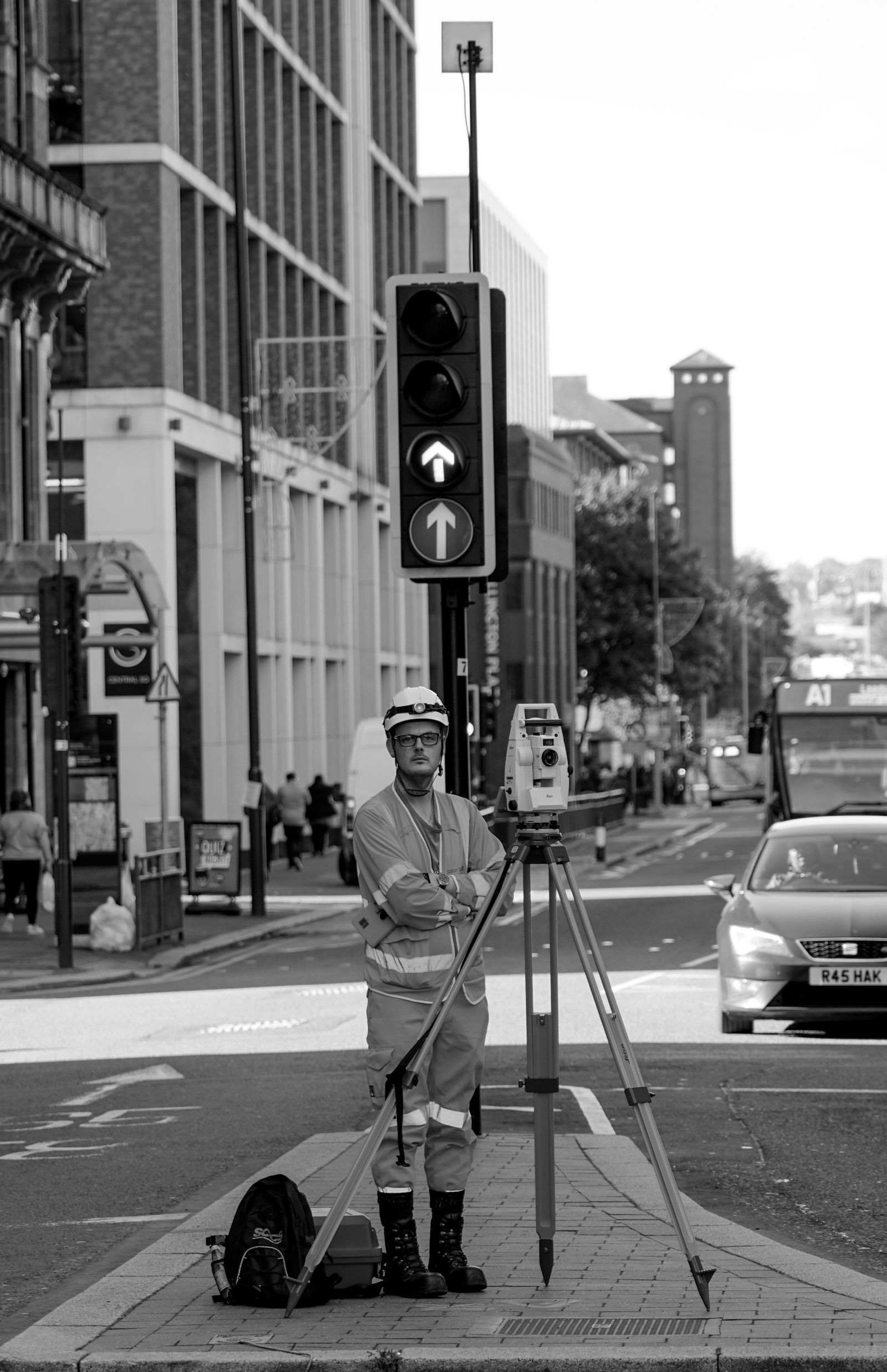
Photo: Arthur Swiffen / Pexels
Coordinate Converter: WGS84 In, NAD83 Out
Take a GPS pair you collected, such as the worked example in this article, and study the pair side by side in both datums: the NAD83 (2011) values sit roughly one to two meters away from the WGS84 originals in the continental United States. Record the realization and epoch beside any converted pair.
From decimal degrees
Your latitude breaks down as 40 degrees, 41 minutes, 21.00 seconds. One degree is 60 minutes, one minute is 60 seconds, so a second of latitude is about 31 meters on the ground.
From degrees minutes seconds
Conversions use the WGS 84 coordinate system, the same one GPS satellites and phone maps use. Plus codes are computed with the open location code algorithm, the same method Google Maps uses.
What NAD83 Actually Is
A datum is the reference frame coordinates are measured against: a model of the Earth's shape plus an anchoring of that model to the real planet. NAD83, the North American Datum of 1983, uses the GRS80 ellipsoid and is anchored so that it moves with the North American tectonic plate. That plate-fixed design is its defining choice: a survey monument in Kansas keeps essentially the same NAD83 coordinates decade after decade, because the datum rides the same plate the monument sits on. WGS84, the GPS datum, is instead anchored to the Earth's center of mass and realized globally, so as North America drifts on its plate, WGS84 coordinates of a fixed American point slowly change while its NAD83 coordinates hold still. The practical result: in the continental United States the two datums currently differ by roughly one to two meters, varying by location, which is nothing to a hiker and everything to a surveyor, a boundary, or a GIS overlay. NAD83 itself has realizations, refinements over time; the current one for the US is NAD 83 (2011), referenced to epoch 2010.00, and serious work names the realization, not just the datum. The broader family tree, and how datums differ from coordinate systems, is the subject of our guide to finding the coordinate system of a layer.
Why Your GPS Does Not Speak It Natively
Consumer GPS is a WGS84 world. Phones, watches, car systems, and handhelds output WGS84 latitude and longitude because the satellites broadcast in that frame and global consistency is the product. Some survey-grade receivers and GIS field apps can be configured to output NAD83 directly, applying the transformation internally, but a phone will not, and its settings will not offer the choice. So the normal workflow is asymmetric: capture in WGS84, convert deliberately, and record that you did. The conversion is not a unit change like feet to meters; it is a datum transformation, a small three-dimensional shift plus the slow plate-motion component, which is why it belongs in a proper tool rather than in mental arithmetic. Anyone who has read our explainer on latitude and longitude formats knows the numbers can be restyled freely; datum conversion is the deeper operation underneath the formats, changing the values themselves by that meter or two.
Route 1: Convert With NGS NCAT
For a point or a handful of points, the authoritative free route is the National Geodetic Survey's NCAT, the NGS Coordinate Conversion and Transformation tool, on the NGS website. Feed it a latitude and longitude, tell it the input datum (WGS84, as your GPS reports) and the output you want (NAD 83 (2011)), and it returns the converted coordinates, with options for the common realizations and for related systems such as State Plane and UTM. NCAT is the right tool precisely because datum transformation has fine print, realizations, epochs, transformation grids, that a national agency maintains and a spreadsheet should not improvise. Work habits that keep conversions honest: convert from the most precise original values you have, never from a rounded display; record input datum, output datum, realization, and date alongside the result, because a coordinate without its datum is an opinion; and convert a known control point first, when one is nearby, so you can check your settings against its published NAD83 values before trusting the pipeline with real data.
Route 2: Read It Off Control Points
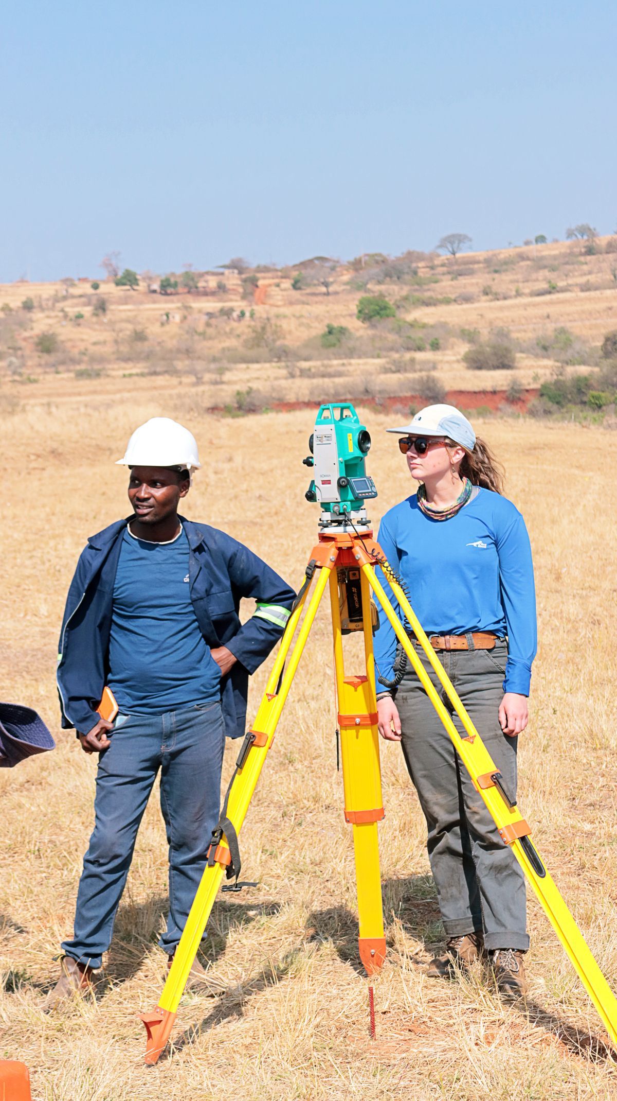
Sometimes you do not need to convert at all, because the authoritative NAD83 coordinates already exist and are published. The National Geodetic Survey maintains datasheets for its network of survey control points, the brass disks and marks set across the country, each datasheet stating the point's NAD83 coordinates (with realization and epoch), its elevation, and its history. The NGS Data Explorer and datasheet retrieval tools let you search by location, station name, or PID. If your project ties to a nearby control point, for a boundary survey, a construction layout, a benchmark for drone mapping, the datasheet is the ground truth your own measurements should be checked against, and its coordinates need no conversion: they are NAD83 by birth. State and county survey offices publish additional local control. The discipline here is reading the whole datasheet: realizations matter, a superseded value from an older adjustment can differ from the current one by centimeters that matter at survey grade, and the datasheet's recovery notes tell you whether the mark itself has been disturbed since it was last verified.
Route 3: Transform in GIS
For whole datasets, conversion belongs in GIS software, where the transformation is applied to every coordinate at once and documented in the workflow. In QGIS, ArcGIS, and their peers, the pattern is the same: the layer's current CRS must be correctly identified first, WGS84 if it came from GPS, and then a datum transformation to the NAD83 CRS is chosen explicitly, with the software offering the published transformation paths. The trap, as with all reprojection, is the difference between defining a CRS and transforming to one: relabeling WGS84 numbers as NAD83 leaves the meter-or-two error in place while hiding it, whereas a true transformation shifts the values. Our walkthrough of reprojecting a layer in QGIS teaches that distinction in the exact dialog where it bites. After transforming, verify against a control point or a trusted NAD83 layer before the data feeds anything official. And keep the original WGS84 file untouched in the project archive: conversions are one-way doors for rounding and realization choices, and the source is what lets you redo them when standards move.
The One-to-Two-Meter Question
Close with judgment, because the right effort depends on the cost of the error. For hiking, geocaching, road navigation, and finding a trailhead, ignore the difference entirely; a meter or two is inside your receiver's own noise, and no consumer use can see it. For GIS analysis that overlays your points on county parcels, state datasets, or federal mapping, convert, because those layers are NAD83 and a systematic meter-plus offset will put your points in the wrong parcel along every boundary. For surveying, engineering, boundaries, and anything that will be stamped, filed, or built, work in NAD83 natively with proper control and proper tools, and let NCAT and the datasheets be the authorities they are. The datums are both right. The skill is knowing which conversation you are in.
A Note on What Comes Next: The Datum Is Being Modernized
One horizon item belongs in any current guide, stated carefully. The National Geodetic Survey has for years been developing a modernized National Spatial Reference System intended to replace NAD83 and NAVD 88 with new reference frames and a geoid-based vertical datum, precisely because the 1980s frameworks carry known distortions and a dependence on aging passive markers. The program's timelines have shifted more than once, and as of this writing NAD83, realized as NAD 83 (2011), remains the working datum of American surveying and GIS: datasheets, county data, and federal mapping are published in it, and the routes in this guide are the routes in force. The practical takeaway is not to wait for the future but to keep records that survive it: archive your source WGS84 observations, record realizations and epochs with every converted coordinate, and keep the conversion trail that NCAT and the datasheets provide. When the modernized system does arrive, data documented that way converts forward cleanly, and data documented as bare numbers becomes archaeology. Datums are infrastructure: invisible, essential, and replaced on generational timescales. NAD83 has served for four decades; finding coordinates in it correctly, and writing down how you did it, is how your work outlives the next replacement too.
NAD83 Beyond the United States
A final geographic note prevents a common false assumption. NAD83 is a North American datum, and its family reaches beyond the fifty states: Canada maintains its own realizations of the same framework through its national spatial reference system, and Mexico's mapping is likewise tied to closely related frames, which is why cross-border datasets in North America reconcile more gracefully than the patchwork found on some other continents. The practical consequence is twofold. Data described as NAD83 from a Canadian or Mexican source is genuinely in the same broad family, but the realization and epoch still govern the fine print, and precise work reads the metadata rather than assuming the American realization. And for the rest of the world, NAD83 simply does not apply: the coordinates in this guide's workflows are for the datum's home continent, and data arriving from elsewhere wants its own local frame, or an honest transformation into one. Datums are regional agreements about where the grid sits on a moving planet. NAD83 is North America's agreement, four decades strong, and the mark of a careful practitioner is knowing both how to work inside it and exactly where its jurisdiction ends.
Related Guides
Readers working through this topic usually need its closest companions too. These coordinates guides cover the neighboring ground:
- How to Convert Latitude and Longitude to an Address: Turning coordinates into an address has a name, reverse geocoding, and you can do it with no code at all: paste the pair into a map, or check the...
- Convert Latitude and Longitude to Northing and Easting: First, Which Grid?: Northing and easting" is not one coordinate system; it is the shared vocabulary of several grids, and the same latitude and longitude pair...
- Convert Latitude and Longitude to Decimal Degrees in Excel: Three Working Methods: A web converter handles one coordinate pair at a time; a spreadsheet handles the column of four hundred your GPS export just handed you.
Frequently Asked Questions
What is the difference between NAD83 and WGS84 coordinates?
Both are datums for latitude and longitude. NAD83 is anchored to the North American tectonic plate, so coordinates of fixed points in North America stay stable; WGS84 is anchored globally to the Earth's center of mass. In the continental US they currently differ by roughly one to two meters depending on location.
How do I convert WGS84 coordinates to NAD83?
Use the National Geodetic Survey's NCAT tool online: enter the WGS84 latitude and longitude, select NAD 83 (2011) as the output, and it returns converted coordinates using the official transformations. For whole datasets, apply a datum transformation in GIS software instead.
Does my phone GPS give NAD83 coordinates?
No. Phones and consumer GPS devices output WGS84. Survey-grade receivers and some GIS field apps can be configured to transform and output NAD83, but a phone requires a conversion step afterward.
What does NAD 83 (2011) epoch 2010.00 mean?
NAD 83 (2011) is the current US realization, or refinement, of the NAD83 datum, and epoch 2010.00 is the reference date its coordinates describe. Naming the realization matters at survey precision because realizations differ by small but real amounts.
Where can I look up official NAD83 coordinates for a location?
For survey control points, the National Geodetic Survey's datasheets publish authoritative NAD83 coordinates, searchable through the NGS Data Explorer by location or station. County and state GIS portals also publish their data in NAD83 for general locations.
Photo credits: Arthur Swiffen (Pexels); Khaya Motsa (Pexels). Photos are served from this site; follow the credit to the library page for the original.