Pilots navigate with paper that talks in coordinates. A VFR sectional chart, the Federal Aviation Administration's 1:500,000 map of the sky's lower neighborhood, is covered in a fine grid of latitude and longitude lines, and every airport, tower, and reporting point on it can be located, or found from a pair of numbers, by reading that grid. The skill looks antique next to a moving map, and it is still taught and tested because it cannot run out of battery. It is also genuinely simple once the chart's conventions are clear: the grid is in degrees and minutes, the ticks divide each interval into single minutes, and one minute of latitude is one nautical mile, so the same reading that locates you also measures for you. This guide teaches the method the way the FAA's Aeronautical Chart User's Guide presents the chart: find the labeled lines, count the ticks, interpolate the remainder.
Home / Coordinates and Location Formats
How to Read Latitude and Longitude on a Sectional Chart
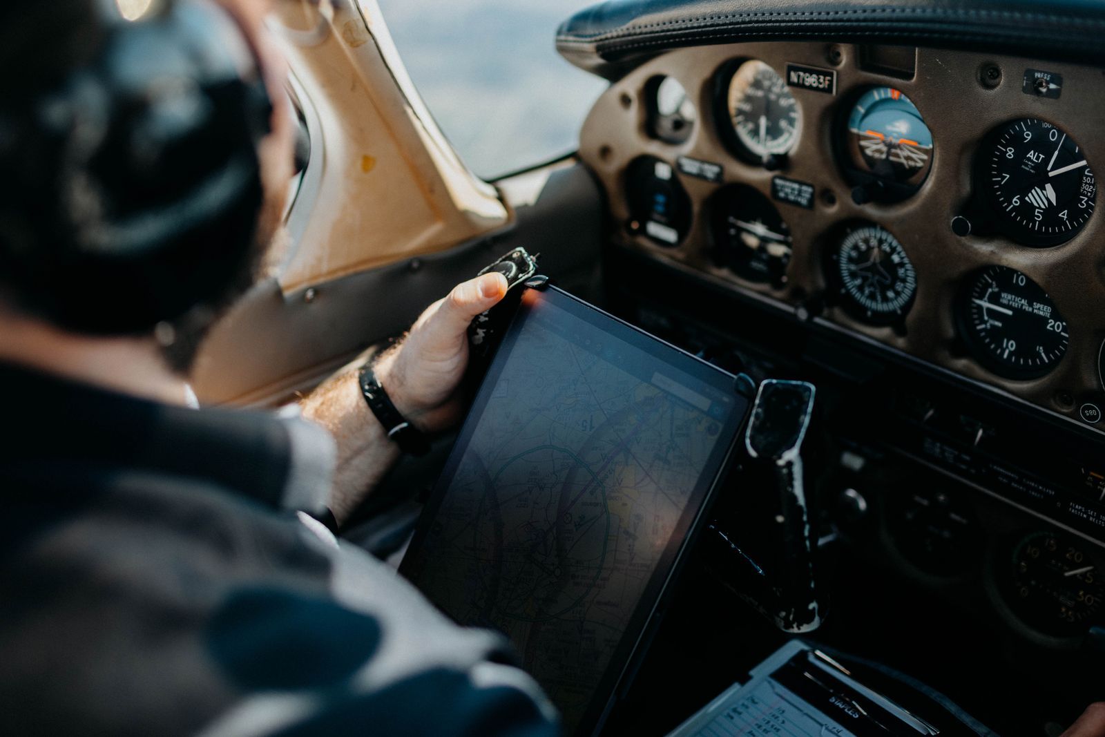
Photo: Leah Newhouse / Pexels
Read the Graticule: The Sectional Chart Checklist
Check off each step as you finish it. Your progress stays on this page.
0 of 8 complete
0% done
What a Sectional Shows
A sectional chart covers a generous slab of country at 1:500,000 scale, one inch representing about eight statute miles, printed with airspace boundaries, airports, navigation aids, obstructions, and terrain shading. Over all of it lies the graticule: the network of meridians of longitude and parallels of latitude, drawn at regular intervals and labeled around the chart's edges and across its interior. The graticule is the chart's coordinate skeleton, and it is drawn in the pilot's native units, degrees and minutes, because aviation still reckons position and distance in nautical miles and minutes of arc. Two facts organize everything else. First, each graticule interval is subdivided by tick marks into minutes, so any point's coordinates can be read to the nearest minute and estimated finer. Second, latitude and longitude behave differently on the ground: a minute of latitude is one nautical mile everywhere, while a minute of longitude is one nautical mile only at the equator and shrinks as you move toward the poles. Hold both facts and the chart stops being decoration.
The Graticule: Lines, Labels, and Ticks
Read the skeleton before reading any point. Parallels run horizontally, labeled with degrees of latitude, north increasing upward in the northern hemisphere; meridians run vertically, labeled with degrees of longitude, west increasing to the left in the Americas. Along each graticule line, and along the chart's neatline, you will find small tick marks: the standard subdivision marks each minute of arc, with longer ticks making the five and ten minute positions easy to count, so a thirty-minute interval between labeled lines reads as a ruler of thirty single-minute ticks. The practical habit is to identify, for any point you care about, the nearest labeled parallel below it and the nearest labeled meridian to its right (for west longitude), because you will count ticks from those anchors. Charts also print the full coordinate in the airport data blocks for listed airports, which gives you a free accuracy check: read an airport's position off the graticule by hand, then compare with its printed data, and you will know within a minute whether your counting method is sound. Our general explainer on latitude and longitude covers the coordinate system itself; the sectional is where it becomes a physical instrument.
Read a Point, Step by Step
Work this routine on any feature, an airport symbol, a tower, a lake's outlet. Step one: find the nearest parallel below the point and note its labeled latitude, say the 39 degrees 30 minutes line. Step two: count the minute ticks upward from that line to the point's horizontal level; if the point sits twelve ticks up, its latitude is 39 degrees 42 minutes north, estimating a fraction of a tick if it falls between. Step three: find the nearest meridian to the right of the point, for west longitude the anchor with the smaller number, say 84 degrees 00 minutes, and count ticks leftward, westward, remembering longitude values increase in that direction; twenty-three ticks gives 84 degrees 23 minutes west. Step four: assemble the pair in aviation order, latitude first: 39 degrees 42 minutes north, 84 degrees 23 minutes west. Step five, the professional habit: sanity-check the pair against something known, the printed data of a nearby airport, the chart's own index, or a second reading from the opposite anchors, because the classic errors, below, are all off-by-one-interval mistakes that a cross-check exposes instantly. With a plotter or a straightedge the same routine produces readings to a fraction of a minute; by eye and tick counting, the nearest minute is the honest precision, and for chart work it is almost always enough.
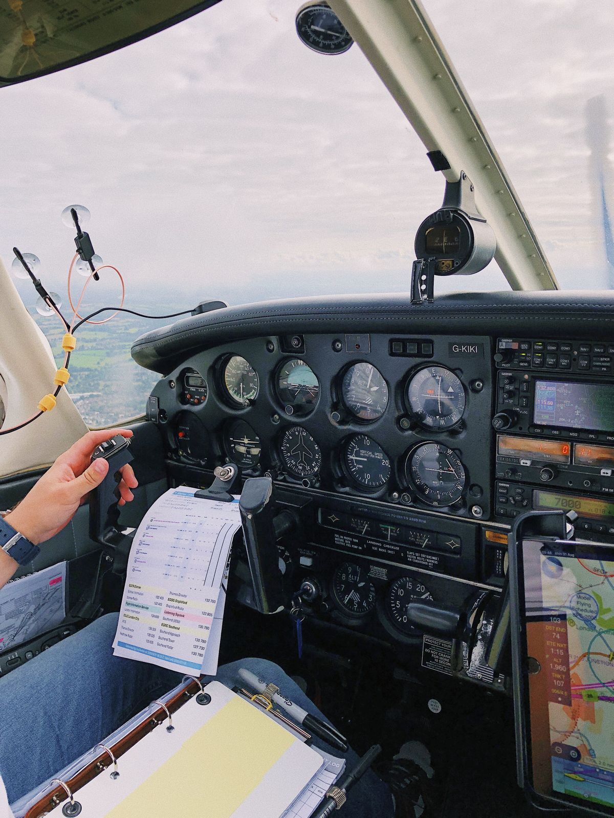
Minutes Are Miles: The Reader's Bonus
The sectional's second gift is measurement disguised as coordinates. Because one minute of latitude equals one nautical mile, the tick ruler you counted for latitude doubles as a distance scale: count the latitude ticks between two points at similar longitude and you have their north-south separation in nautical miles, no plotter scale required. Pilots lean on this constantly for quick estimates, how far to the next checkpoint, whether a diversion field is ten miles or thirty. The longitude ticks do not share the trick at most latitudes: a minute of longitude is a nautical mile times the cosine of the latitude, about three quarters of a mile at 40 degrees north, so east-west distances read off longitude ticks must be discounted, which is why the proper tool for distance on a sectional remains the plotter against the latitude scale or the chart's printed scale bar. Our article on map scales explains representative fractions like 1:500,000 in general; the sectional's minute grid is the working pilot's shortcut layered on top of that theory.
Common Reading Errors
Four mistakes account for nearly every misread sectional. Counting from the wrong anchor: using the line above or to the left without adjusting the direction of increase, which flips the count and lands you minutes away; fix it by stating, out loud, which way the numbers grow before counting. Losing an interval: reading the nearest labeled line as a full degree when the chart's lines near your point are thirty-minute subdivisions, the classic whole-degree blunder; the airport cross-check catches it. Longitude direction: in the Americas west longitude increases leftward, and counters who drift eastward in their counting subtract minutes they should add. And false precision: reporting seconds read off a paper chart, when the honest unit is the minute and the estimate between ticks is a fraction of one. Every one of these is a habit error, not a knowledge error, which is good news: the five-step routine, with its closing cross-check, is specifically built to catch all four. Read, assemble, verify against the known. The paper rewards the ritual.
Plotting a Pair: The Reverse Direction
Reading fluency runs both ways, and the reverse skill, given coordinates, find the place, is the one flight planning actually uses, for user waypoints, reporting points described in a clearance, and checking that a GPS entry describes the field you think it does. The routine mirrors the read. Take the latitude, find its labeled parallel, count ticks in the direction of increase to the stated minutes, and rule or imagine a horizontal line at that height. Take the longitude, find its meridian, count ticks in its direction of increase, remembering that west longitude grows leftward over the Americas, and mark the vertical. Where the lines cross is your point; the nearest charted feature should be the one the coordinates were describing, and a mismatch of more than a minute or two means a counting error or a transcription error, both cheaper to catch on the ground than in the air. Fractional minutes convert directly: a coordinate given in decimal degrees, the GPS dialect, converts by multiplying the fraction by sixty, so 39.70 degrees is 39 degrees 42 minutes, and our treatment of latitude and longitude formats covers that restyling in full. Practice the pair of skills on three airports whose data blocks are printed on your chart, read one, plot one, verify both, and the graticule stops being the chart's frame and becomes its keyboard: any place on the paper, addressable, in both directions, to the minute.
Why Paper Fluency Still Earns Its Place
A reasonable student asks why this skill survives in the age of the moving map, and the honest answer has three parts. First, redundancy: electronics fail in the specific ways of batteries, heat, and software, usually at the least convenient moment, and the chart on the kneeboard is the backup that shares no failure mode with the panel. Second, verification: the pilot who can read the paper can audit the machine, spotting the transposed digit or the wrong-airport waypoint because the numbers in the box disagree with the geography on the chart, and that audit has prevented more embarrassment than any other habit in this guide. Third, comprehension: a moving map shows a keyhole, always centered, always at one zoom, while the sectional shows the whole chessboard at once, the airspace geometry, the terrain logic, the relationship between your route and everything around it, and pilots who learned on paper carry that board in their heads when the keyhole is all they have. The examiners who test this skill are not indulging nostalgia. They are certifying that you can navigate when the screens go dark and think spatially when they do not. A minute of latitude is a nautical mile; a chart read fluently is a cockpit that stays calm. Both are worth the hour it takes to learn them properly.
Related Guides
The closest companions to this guide are the coordinates guides below. Each one picks up a thread this page starts:
- How to Convert Latitude and Longitude to an Address: Turning coordinates into an address has a name, reverse geocoding, and you can do it with no code at all: paste the pair into a map, or check the...
- Convert Latitude and Longitude to Decimal Degrees in Excel: Three Working Methods: A web converter handles one coordinate pair at a time; a spreadsheet handles the column of four hundred your GPS export just handed you.
- Latitude and Longitude to MGRS: How the Military Grid Reference System Works: MGRS turns a latitude and longitude into a compact grid reference like 18S UJ 23478 06483: a grid zone designator, a 100 kilometer square, and...
Frequently Asked Questions
What scale is a sectional chart, and how is its grid divided?
Sectionals are drawn at 1:500,000. Their latitude and longitude graticule is labeled in degrees and subdivided by tick marks at one-minute intervals, with longer ticks at five and ten minutes, so positions can be read to the nearest minute of arc.
How do I find the latitude and longitude of an airport on a sectional?
Count minute ticks from the nearest labeled parallel for latitude and from the nearest labeled meridian for longitude, assemble latitude first, then verify: listed airports print their coordinates in the airport data block on the chart, giving you an exact cross-check.
Why is one minute of latitude equal to one nautical mile?
By definition and by geometry: the nautical mile was defined as one minute of arc along a meridian, so latitude ticks on any chart form a built-in distance ruler. One minute of longitude equals a nautical mile only at the equator and shrinks with the cosine of latitude.
Which direction do longitude values increase on a US sectional?
West longitude increases as you move left, westward, across a chart of the Americas. When counting ticks from your anchor meridian, add minutes in the direction of increase, and state the direction before you count.
Can I read coordinates to the second on a paper sectional?
Not honestly. Tick counting gives the nearest minute, and a careful reader with a plotter can estimate fractions of a minute. Reporting seconds implies a precision the paper cannot support; digital sources publish airport coordinates to the second when you need them.
Photo credits: Leah Newhouse (Pexels); Lina Kivaka (Pexels). Photos are served from this site; follow the credit to the library page for the original.