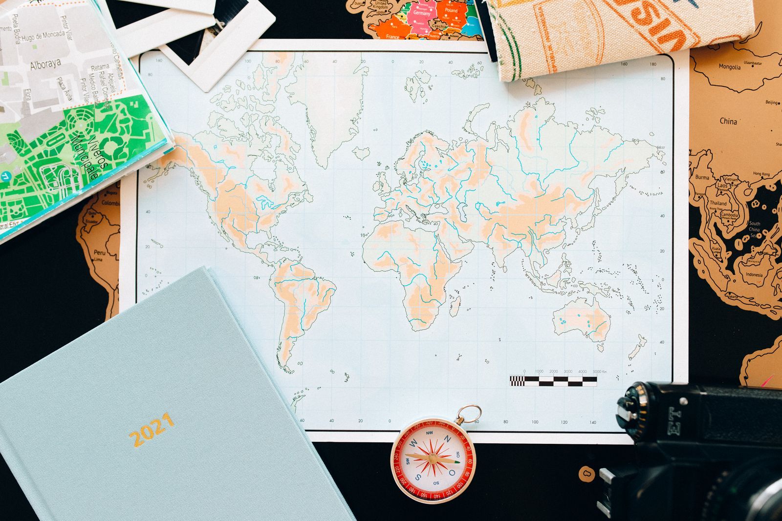
Every map is a lie about size told at a constant rate, and the scale is the rate. When a map says 1:24,000, it says: one unit on this sheet represents 24,000 of the same units on the ground. One inch on the map is 24,000 inches of real world. One centimeter is 24,000 centimeters. The units cancel, which is why the ratio works in any measurement system and why it confuses everyone the first time: it looks like a fraction but behaves like an exchange rate.
This article teaches the ratio in plain words, the three forms scale takes, the conversion arithmetic in both directions at the scales you will actually meet, and the naming trap that makes a 1:24,000 sheet a large-scale map while a 1:1,000,000 sheet is a small-scale one. The Distance Measurer on this page is your reality check throughout: measure any real distance with it, then ask what that distance would measure on a sheet at each scale. Scale questions fold into this page from several directions, what is map scale, the types of scale, and worked scale problems, because they are one skill wearing three costumes.
Interactive map
Distance Measurer
Click the map to drop numbered points. The line between them is measured as the crow flies, with the bearing of each leg.
Read 1:24,000 aloud as one to twenty-four thousand, and translate it as: the map is the world shrunk twenty-four thousand times. Everything on the sheet is that many times smaller than itself. A useful intuition pump: at 1:24,000, a real kilometer, 1,000 m, becomes 100,000 cm divided by 24,000, which is about 4.2 cm of map. A football stadium, roughly 100 m long, becomes about 4 mm, a grain of rice. At 1:250,000 the same stadium is 0.4 mm, beneath notice, which is why small-scale maps stop drawing individual buildings: the ratio has voted them off the page.
The Three Forms of Scale
Form
Example
Strength
Weakness
Verbal scale
One inch equals 2,000 feet
Instantly meaningful to a human
Dies when the map is resized or photocopied
Representative fraction (ratio)
1:24,000
Works in any units, exact, universal
Needs a moment of arithmetic to feel real
Bar scale
A printed ruler in miles and kilometers
Survives resizing, zooming, and photocopies; measures directly
Only as precise as your eye and your paper strip
Serious maps print all three. The bar is the one to trust in the field, because it is a picture of distance printed at the same size as the map: shrink the map and the bar shrinks with it, still telling the truth, while the ratio and the verbal scale become lies the moment the sheet changes size. Remember that fact; it returns when we reach phone screens.
Converting: Map Distance to Ground Distance
The rule is one multiplication: ground distance = map distance × the scale number, keeping units consistent, then converting to units a human likes.
At 1:24,000 (the classic USGS trail sheet). One inch on the map: 1 × 24,000 = 24,000 inches on the ground, and 24,000 / 12 = exactly 2,000 feet. One centimeter: 24,000 cm = 240 m. You measure a trail segment at 3.5 inches: 3.5 × 24,000 = 84,000 inches = 7,000 feet, about 1.33 miles.
At 1:50,000 (the common hiking scale in much of the world). One centimeter: 50,000 cm = 500 m, a gift of round numbers: at this scale, centimeters are half-kilometers. Four centimeters of winding trail, measured with the strip method from how to read a map, is 4 × 500 = 2,000 m = 2 km of walking. One inch: 50,000 inches = 4,166.7 feet = about 0.79 miles.
At 1:100,000. One centimeter is exactly 1 km. This is the scale of regional planning maps and generous road maps, and the arithmetic could not be kinder.
Converting Back: Ground Distance to Map Distance
Divide instead: map distance = ground distance / the scale number. You know a refuge is 5 km from the trailhead and want to see how far apart they will sit on your 1:24,000 sheet: 5 km is 500,000 cm; 500,000 / 24,000 = about 20.8 cm. Nearly a full page width, which tells you at a glance that the two points will not share one comfortable view at full detail. Reverse conversions are how you choose a sheet: given the journey's length and the paper's size, the scale that fits is the one whose division leaves the route on the page with margin.
The Large and Small Naming Trap
Here is the trap that catches every student once. A 1:24,000 map is called a large-scale map. A 1:1,000,000 map is called a small-scale map. The names sound backwards until you look at the fractions: 1/24,000 is a larger fraction than 1/1,000,000, and large-scale maps show small areas in large detail, while small-scale maps show large areas with small detail. Trail sheets are large-scale; world wall maps are small-scale; and the phrase describes the ratio, never the sheet's physical size. A wall map can be small-scale and a pocket card large-scale, and both statements confuse exactly nobody who has met the fraction explanation once.
Common Scales and Their Jobs
Scale
One centimeter equals
Typical job
1:10,000
100 m
City plans, campus and site maps
1:24,000 or 1:25,000
240 m or 250 m
Trail and topographic sheets: USGS quads, Ordnance Survey Explorer
1:50,000
500 m
Hiking and military topographic maps across much of the world
1:100,000
1 km
Regional maps, cycling tour maps
1:250,000
2.5 km
Road and planning maps of states and provinces
1:1,000,000
10 km
Country and continent maps
1:30,000,000 and beyond
300 km and up
World wall maps and atlas plates
Choose the scale by the decision the map must support. Navigating a trail junction wants the detail of 1:24,000. Planning which towns a day's drive connects wants 1:250,000, where the trail sheet's detail would be noise and its area coverage absurd: at 1:24,000, a single sheet covers a few miles across, and a road trip would need a bookshelf of them.
An open notebook with a pencil case and a ruler on a desk
Digital Maps: The Honest Answer About Zoom
What scale is your phone showing? The truthful answer is: it depends on the zoom and the screen, and mostly the question stops applying. A digital map redraws itself at every zoom from the same data, so its effective ratio changes continuously, and two phones side by side at the same zoom show different ratios because their screens differ. This is the deep reason good map apps show a bar scale that stretches and shrinks as you zoom: the bar remains true at every size, exactly as it does on a photocopied sheet, while any printed ratio would be false the moment you pinched. When an app does quote a scale, treat it as the scale at one reference zoom on one reference screen. The measurer on this page sidesteps the whole question by reporting ground truth directly: the kilometers themselves, no ratio required.
A Short Practice Set, With Answers
On a 1:50,000 map, a lake measures 3 cm across. How wide is the real lake?
On a 1:24,000 map, a ridge trail measures 2 inches. How long is the trail in feet?
A hike is 10 km. How long will its line be on a 1:25,000 map?
Which shows more detail, a 1:24,000 sheet or a 1:250,000 sheet?
Answers. 1: 3 × 500 m = 1.5 km. 2: 2 × 2,000 feet = 4,000 feet. 3: 10 km is 1,000,000 cm; divided by 25,000 = 40 cm of map. 4: the 1:24,000 sheet, by a factor of about ten in each direction, which is why it can draw the trail the other sheet omits. If question 3 surprised you, you have found the reason route planning starts with the division in the reverse section above.
Scale and Honesty: Every Map Generalizes
One last idea separates people who use scale from people who merely compute with it. Shrinking the world forces choices: at 1:250,000 a town becomes a dot and a river a hairline, not because the cartographer is lazy but because the truth at full detail would be black ink from edge to edge. Mapmakers call this generalization: features are selected, simplified, merged, and sometimes displaced slightly so the sheet stays readable. The scale tells you how much generalization to expect, and therefore how literally to take positions. On a 1:24,000 sheet, a trail's drawn line claims the ground within a few meters. On a 1:1,000,000 plate, a city's dot may sit a kilometer from its center and still be honest at its scale. Reading scale is thus also reading the map's contract: this much detail, this much truth, no more promised. When a measurement truly matters, your route, your boundary, your rescue, measure it with a tool that reports ground truth, like the measurer on this page, and let the sheet's scale tell you stories at the resolution it can afford.
Related Guides
Readers working through this topic usually need its closest companions too. These travel and outdoors map skills guides cover the neighboring ground:
One unit on the map equals 24,000 of the same units on the ground. One inch on the sheet is 24,000 inches, exactly 2,000 feet, of real world; one centimeter is 240 m. The ratio is unit-free, which is why it travels between countries and systems unchanged.
Why is 1:24,000 called large scale when the number looks small?
Because the name describes the fraction, not the denominator. 1/24,000 is a larger fraction than 1/1,000,000, and the larger fraction shows a smaller area in larger detail. Large scale, small area, much detail; small scale, large area, little detail.
Which scale is best for hiking?
1:24,000 or 1:25,000 is the classic trail scale, detailed enough to draw individual switchbacks and buildings. 1:50,000 serves well for longer routes where coverage matters more than the last contour. Below that, trails begin to vanish into generalization.
Why does the bar scale stay correct when I photocopy a map?
Because the bar is part of the picture. Enlarge the sheet by ten percent and every distance on it grows by ten percent, including the bar, so their relationship, which is the scale, is unchanged. The printed ratio and verbal scale are text about the original size, and they become false at any other size.
What scale is Google Maps or my phone map?
There is no single answer: the effective scale changes with every zoom and differs between screens. That is why map apps display a dynamic bar scale instead of a ratio. For measurements, use the app's measure tool or the measurer on this page, which report true ground distances directly.
How do I convert a scale to real distance quickly?
Multiply the map measurement by the scale number, in the same units, then convert. At the friendly scales, memorize the anchors: 1 cm is 240 m at 1:24,000, 500 m at 1:50,000, and exactly 1 km at 1:100,000, and most field arithmetic becomes one multiplication.
Photo credits: Nataliya Vaitkevich (Pexels); Katerina Holmes (Pexels). Photos are served from this site; follow the credit to the library page for the original.