Ask a trailhead parking lot for the best free hiking map app and someone will say AllTrails, because it is the app everyone has. Then ask the question that actually matters on a mountain, can it show you the map when there is no signal, for free, and the answer is no: offline maps are exactly what AllTrails sells. This pattern repeats across the category. "Free app" describes the download, not the trail, and the feature a hiker needs most, the map working in airplane mode in a valley with no bars, is the industry's favorite paywall. So this guide audits free tiers instead of feature lists: for each app, what is genuinely free, whether offline maps are among it, and what the paid tier holds hostage. If you want the broader ranking by hiker type regardless of price, read our best hiking map app guide after this one; this page is for the budget of zero.
Home / Map Skills for Travel and Outdoors
Best Free Hiking Map App: A Free-Tier Audit of the Big Names
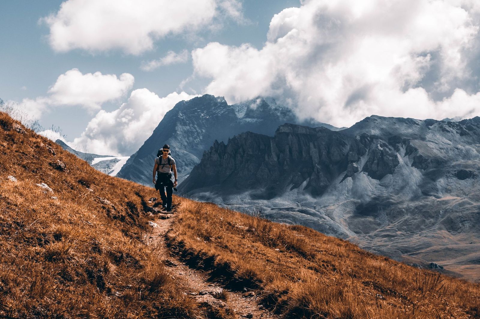
Photo: Lorenzo Castellino / Pexels
Free Hiking App: Home Examination Checklist
Check off each step as you finish it. Your progress stays on this page.
0 of 6 complete
0% done
The Free-Tier Truth Table
| App | What is actually free | Offline maps free? | The catch |
|---|---|---|---|
| Organic Maps | Everything: full app, unlimited downloads, no ads, no account, no tracking | Yes, completely | No live trail conditions or review community |
| Hiking Project | Everything: full app, trail data, downloads; there is no paid tier | Yes | US centric coverage; smaller international catalog |
| komoot | One region of your choice, fully unlocked, including offline maps and voice navigation | Yes, for that one region | Every additional region is a paid unlock |
| NPS App | Everything, for US national parks: park maps and downloads | Yes, per park | Only national park units; not a general trail app |
| OsmAnd | Full featured app with a download limit on the free tier | Yes, within the cap (7 map downloads) | The cap; power features nudge you to the one-time paid upgrade |
| Wikiloc | Browsing, recording, and offline maps | Largely yes for maps; most community routes need Premium | The route library, the app's treasure, is the paywall |
| AllTrails | Search, trail pages, reviews, recording, with ads | No: offline requires a paid plan (Plus, now Peak tiers) | The most famous free app cannot do the essential thing free |
| Gaia GPS | Basic map viewing and recording trial of the good stuff | No: offline maps require Premium | The serious topo tool is entirely subscription |
Read the table from the bottom up and the category's business model snaps into focus: the apps with the biggest brands and richest review communities charge for offline, and the apps that give offline away free are the ones built on open data and smaller ambitions. Neither fact makes an app good or bad; it makes your choice a decision about what you value. A hiker who never leaves signal-rich local trails may rationally take AllTrails' reviews and photos and never miss offline. A backpacker who spends weekends beyond coverage should treat the bottom two rows as disqualifying and shop the top five.
The Picks
Best free, full stop: Organic Maps. It is the only app in this audit with no asterisk: every feature free, unlimited offline downloads of the same OpenStreetMap data hikers maintain, trails and contour detail included, no account, no ads, nothing watching you. Its weaknesses are the absence of a review community and of live conditions reports, which are social features, not map features. As a map that works everywhere for nothing, it has no rival in this list, and it doubles as a road navigator; our best offline map app for Android audit reaches the same conclusion from the driving side.
Best free in the United States: Hiking Project. REI's trail app is entirely free, no paid tier exists, with curated trail data, offline downloads, and elevation profiles, strongest exactly where American hikers hike. Its catalog is thinner internationally and its future has had corporate weather around it over the years, which is a reason to also keep Organic Maps installed, not a reason to skip the best free American trail database while it is here.
Best free for one home region: komoot. Komoot's model is unusually honest: pick one region, own it forever, offline maps and turn-by-turn voice included, and pay only when your hiking outgrows your home turf. For the many hikers who walk the same hills 90 percent of the year, that is the best deal in the category, with polished route planning the free tier fully includes for that region.
Best free for national park trips: the NPS App. If the trip is to US national parks, the official app downloads park maps and guides for offline use, written by the rangers themselves, with accessibility and facility detail no commercial app matches. It is a specialist, not a general tool, and within its specialty it is unbeatable at the price of zero.
Best free for tinkerers: OsmAnd's free tier. Within its seven-download cap you get the most configurable hiking tool on phones: routing profiles, track recording, contour and hillshade options, GPX everything. Plan your downloads around the cap, home region plus current trip, and the free tier stretches far; outgrow it and the upgrade is a one-time purchase, the friendliest paywall in this audit.

What "Free" Costs Elsewhere
Zero price does not mean zero cost, and the audit would be incomplete without the other currencies. Ads and upsells: AllTrails' free tier is ad supported and engineered to make the paid tier feel necessary at the exact moment of need, which is a design choice you are allowed to resent. Your data: community apps are funded by the crowd's contributions and, in some cases, by data practices worth reading once in the privacy policy; the open, tracker-free design of Organic Maps is the exception that proves what the norm is. Battery and storage are the honest costs every app charges equally: offline maps are hundreds of megabytes per region, and GPS tracking a long hike is a battery budget to plan, exactly as our offline maps navigation routine describes for drivers. The community tax: Wikiloc and AllTrails are valuable because hikers upload routes and reports; using their free tiers well includes giving back a track or a conditions note now and then, which keeps the commons you are drawing from alive.
The Two-App Setup Most Hikers Should Run
No single free app wins every column, so run two, a pattern this site recommends across categories. Install Organic Maps as the guaranteed map: your whole region downloaded, working in airplane mode forever, free in the fullest sense. Then install one community app for intelligence: AllTrails free for trail reviews, photos, and recent conditions where you hike, or Wikiloc for route discovery in Europe and Latin America where its community is densest. Before a trip, check conditions and reviews in the community app on Wi-Fi, confirm the area is downloaded in Organic Maps, run the airplane mode test, and walk out with both the knowledge and the map, at a total cost of nothing. If your hiking is mostly US national parks, swap the community slot for the NPS App and the setup is complete. And when a paid tier genuinely earns its money, a thru-hike where Gaia's layers or AllTrails' offline convenience will be used daily for months, paying for the season is rational; this audit's complaint is not that paid tiers exist, but that the word free is used to hide where they begin.
How to Test a Free App Before You Trust It With a Mountain
Do not let an app's first real test be a ridge in November. Give any candidate the home examination, which takes fifteen minutes on Wi-Fi. Download your nearest trail area. Turn on airplane mode. Open the app and confirm the map is fully there, trails, contours, names, not a blurry placeholder. Search for a trailhead by name while offline; note whether search works at all without a connection, because several apps quietly need the internet to find places inside maps they have already downloaded. Start a recording, walk around the block, and check the track and the elevation profile afterward. Zoom to the trail you know best and compare it against reality: are the junctions right, is the closed path still drawn, does the contour spacing match the hill you feel in your legs? Finally, check the battery cost of an hour's recording with the screen mostly off. An app that passes all six checks at home will behave on the mountain; an app that fails one will fail it again at altitude, in weather, with gloves on. This little ritual, repeated per app, is worth more than any star rating, because it tests the exact configuration you will depend on: your phone, your region, your trails, offline.
Related Guides
If this page answered part of the question, these travel and outdoors map skills guides cover the rest of the same ground:
- Best Hiking Map App for Norway: UT.no, Marked Routes, and Cabins: Norwegian hiking runs on a volunteer institution: the Norwegian Trekking Association, DNT, which marks the routes, staffs the cabins, and...
- Hiking Maps of the Dolomites: The Tabacco Sheets, the CAI Numbers, and the App: The Dolomites are the rare mountain range with a single obvious map answer: the 1:25,000 sheets of Casa Editrice Tabacco, numbered, ruthlessly...
- How to Read a Map Bearing: Extracting the Number From the Map: A bearing is a promise in one number, and the map bearing is where that number is born.
- Free Hiking Maps: The Authoritative Sources That Cost Nothing: the authoritative sources behind the free tiers
Frequently Asked Questions
What is the best completely free hiking map app?
Organic Maps. It is free in the strong sense: no paid tier, no ads, no account, no tracking, unlimited offline map downloads with trails and contours from OpenStreetMap data. Hiking Project is the other genuinely all-free option, with a strong US trail catalog. Every other famous name in the category reserves something important, usually offline maps, for paying users.
Is AllTrails free for offline maps?
No. AllTrails is free to download, search, read reviews, and record hikes, but downloading maps for offline use requires a paid plan. Since trails so often lack signal, that paywall sits on the single most safety-relevant feature, which is why this audit ranks AllTrails by its free tier rather than its reputation. Its free tier remains excellent for planning and recent trail conditions.
Is Gaia GPS worth it if I only hike for free elsewhere?
Gaia GPS is a superb professional grade tool, and its free tier is essentially a viewing demo: offline maps, the feature that matters, require the Premium subscription. If you hike a few weekends a year, the free apps in this guide cover you fully. If you navigate off-trail, hunt, or work outdoors, Gaia's layers earn their subscription honestly. Match the spend to the days of use, not to the fear of missing out.
How does komoot's free region work?
Komoot gives you one map region, of your choosing, unlocked permanently and free, including offline maps and voice turn-by-turn navigation for hiking and cycling routes there. Additional regions cost money, individually or as a world bundle. For a hiker whose walking life centers on one home region, that single free region can be the entire answer; choose it carefully, because it is meant to be your home turf.
Can a free hiking app replace a paper map?
It can replace it as your primary navigation, provided the offline map is downloaded and the battery is managed, and many rangers now treat a phone with downloaded maps as standard kit. Paper remains the failure-proof backup for long or wet trips, because it cannot run out of battery or crack. The sensible kit is both: phone for position and detail, paper for the day everything electronic gives up.
Do free hiking apps work without cell signal?
The ones with free offline maps do, fully: Organic Maps, Hiking Project, komoot in your free region, the NPS App per park, OsmAnd within its download cap, and Wikiloc's maps. Your position comes from GPS satellites, not the network, so a downloaded map plus a charged phone is a complete navigation system in airplane mode. The apps whose free tiers lack offline maps, AllTrails and Gaia GPS, are the ones that go blank in the valley.
Photo credits: Lorenzo Castellino (Pexels); George Frewat (Pexels). Photos are served from this site; follow the credit to the library page for the original.