Ask a British walker what map they trust and the answer is a color: the orange cover of an Ordnance Survey Explorer sheet. For two centuries the OS has mapped Britain at a density no other country matches, and its 1:25,000 mapping is the walker's native language, field boundaries, footpaths, bridleways, crags, and contours all drawn. So the question "which hiking map app for the UK" is really "which app puts that mapping, all of it, on your phone, working offline on a wet hillside." This guide answers it directly, explains the two OS scales and when each earns its place, and covers the legal geography, rights of way and access land, that makes British walking maps different from every other country's. If you are still learning to read what these maps show, our guide to reading a map for hiking is the companion to start with; this article is about getting the right map into your hand.
Home / Map Skills for Travel and Outdoors
Best Hiking Map App for the UK: Ordnance Survey Data in Your Pocket
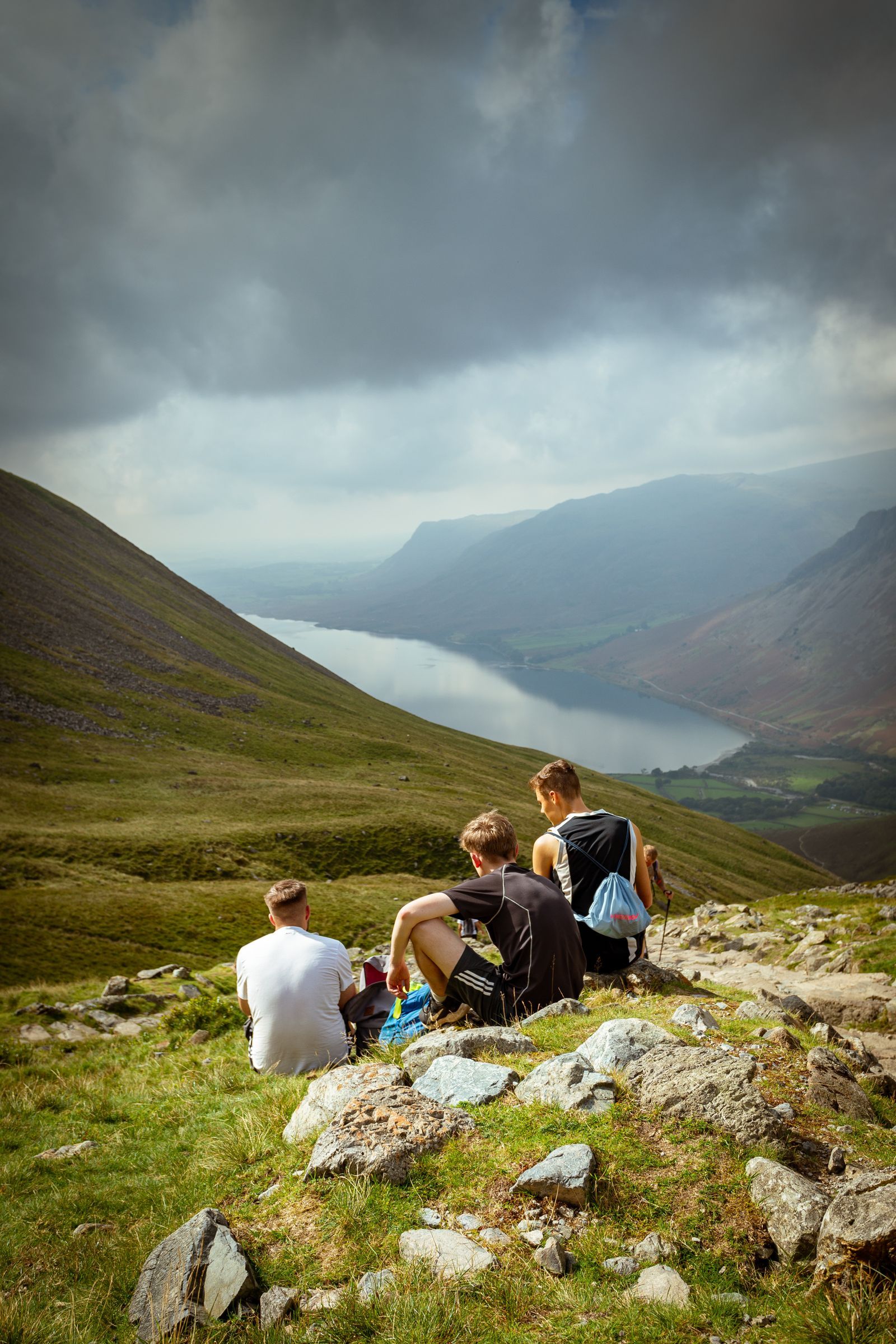
Photo: Miguel Saddi Vitorino / Pexels
The Whole Library in the Pocket: The UK Hiking Checklist
Check off each step as you finish it. Your progress stays on this page.
0 of 8 complete
0% done
The Reference Answer: OS Maps and the Full Sheet Library
The official app is OS Maps, from Ordnance Survey itself, and its decisive feature is completeness: per Ordnance Survey's own guide, the app carries all 607 Explorer 1:25,000 and Landranger 1:50,000 map sheets, the entire published library, as digital mapping. That number matters more than any feature list, because the failure mode of third-party apps is the partial library, your walk's sheet missing, your route crossing into a region rendered at lower detail. With the publisher's own app, the map on your phone is the same cartography as the paper sheet, every symbol and abbreviation identical, so skills transfer between paper and phone without translation. Routes can be plotted and followed on the OS base, walks discovered from the app's route library, and, the essential hillside feature, map areas can be downloaded so the mapping works with no signal at all, which in the Lakes, the Dales, Snowdonia, and the Highlands is not an edge case but the normal condition of a good day out. The working routine is unglamorous and reliable: plan on the big screen, download the area over Wi-Fi, walk with the phone in a pocket and the paper sheet in the map case, because the professional habit in Britain remains a phone for position and paper for planning, each covering the other's failure mode.
Two Scales, Two Jobs: Explorer and Landranger
The library's two series are not better and worse; they are two instruments. Explorer, at 1:25,000, is the walking scale: four centimeters to the kilometer, room enough to draw individual field boundaries, the line of a dry stone wall, the difference between a footpath and a bridleway, and the access land shading described below. For navigation on foot, especially off paths and in poor visibility, Explorer is the map British walkers mean when they say "the map." Landranger, at 1:50,000, halves the detail to double the territory: two centimeters to the kilometer, the right scale for seeing a whole day's shape, planning a long-distance path across several days, cycling, and driving between trailheads. In the app the two scales sit a zoom apart, and the fluent user moves between them constantly, Landranger to understand the day, Explorer to walk the hour. New walkers should buy their habits at Explorer scale and treat Landranger as the overview, because the errors that end walks, the missed junction, the wrong valley, are made at walking scale. The paper tradition reinforces the same division, and our guide to hiking maps explains the sheet system and its numbering for anyone building a paper library alongside the app.
Rights of Way and Access Land: The Layer That Decides Where You May Walk
A British hiking map must answer a question most countries' maps never face: not just where can I walk, but where may I. England and Wales are crossed by a legal network of public rights of way, footpaths, bridleways, and byways, each a legal right over often private land, and OS mapping draws them distinctly, because the green dashed line is not a suggestion about terrain but a statement of law. Alongside the network sit the areas of access land, open country, mountain, moor, heath, and down, where walkers hold a right to roam on foot away from the paths, shown on Explorer mapping with its own shading and boundary. An app earns a British walker's trust by rendering both faithfully, and OS Maps, drawing on the source data, does. Scotland plays by different and more generous rules, a broad statutory right of responsible access, and its walkers navigate accordingly. The practical consequence for app choice is sharp: a generic global hiking app that draws paths without their legal status can strand you at a fence that is, legally, a wall. In Britain the map is partly a legal document, and the apps worth using are the ones that know it. Walkers crossing to Northern Ireland meet a further split: OS mapping there is the work of Ordnance Survey of Northern Ireland, a separate organization with its own products, so a Great Britain library does not extend across the Irish Sea, and NI trips need their own arrangement.
The Supporting Cast and the Honest Setup
OS Maps is the reference, not the whole market. Outdooractive and Komoot both serve UK walkers with route libraries and community content, and can present OS mapping within their premium offerings; walkers who live for discovered routes and recorded tracks may prefer them as the front end while still judging them by the same test, is the underlying cartography genuine OS data at Explorer scale, available offline. Free global apps built on OpenStreetMap data are fine for urban walking and well-trodden paths, and thin exactly where British walking gets serious, on the legal path network and the field-level detail. Whatever front end you choose, the hillside setup is the same discipline as anywhere: download before you go, carry power, and keep the paper sheet for the area in the pack, because a phone is a battery with a map attached. Set the app up at home, walk one familiar route with it, and learn its gestures somewhere the consequences are a laugh rather than a benightment. Britain's hills are small and entirely capable of punishing the unprepared; the right map, at the right scale, with the legal lines drawn, is most of the preparation that matters.
Planning a Walk in the App: From Armchair to Hillside
The app's quiet strength is the seam between planning and walking, and a worked rhythm shows it. At home, on the largest screen available, find the walk: trace the intended line on the Explorer mapping, reading the contours for the day's true shape, checking the path's legal status along every leg, noting the escape lines, the valleys and roads that shorten the day if the weather votes against it. Save the route in the app so it survives to the hill. Download the area's mapping for offline use, generously, the whole sheet's worth rather than a corridor around the line, because the walk you improvise at a junction needs the map around the walk you planned. On the hill, the rhythm inverts: the paper sheet, if you carry one, lives in the case for the junction decisions and the wide views, while the phone comes out for the position check, the blue dot's verdict on which of two similar valleys is yours, delivered in seconds and put away again. After the walk, the recorded track, reviewed against the map at home, is where the learning compounds: the junction that confused you at noon is obvious at the kitchen table, and it will not confuse you again. None of this requires the app to be clever. It requires the mapping to be the real mapping, the download to have happened, and the walker to have a rhythm, which is why the unglamorous official app, carrying the whole national library, beats a cleverer front end carrying half of it.
Coast Paths and National Trails: Where the Library Really Earns Out
Britain's long-distance paths are where the full library justifies itself in a single trip. The national trails stitch counties together: the South West Coast Path alone runs through four counties and across the ground of a dozen Explorer sheets, and the Pennine Way crosses the spine through mapping that changes character from gritstone edges to limestone pavement to border moor. Planning such a walk on paper means buying the walk as a small atlas; planning it in the app means the whole library already in the pocket, with the route drawn once and the ground under it continuous. The access rules vary along a long path in ways the mapping quietly encodes, open access on the high moor sections, path-only rights along enclosed farmland, and the app's rights-of-way layer keeps the legal line visible exactly where a tired walker is most tempted to shortcut a field. Coast walking adds one more layer of judgment the map supports: the Explorer sheets draw the cliff edges and the foreshore honestly, and the official path's occasional diversions, where erosion has taken the line, are the moments to trust the app's recency over the paper's authority. A national trail is a month of small decisions made well, and a complete, current, rights-aware library in the pocket is what making them well looks like now.
Related Guides
The closest companions to this guide are the travel and outdoors map skills guides below. Each one picks up a thread this page starts:
- Best Hiking Map App for Australia: Gaia GPS, Avenza, AllTrails, and the Safety Apps: Australia changes the hiking app question.
- Best Hiking Map App for Norway: UT.no, Marked Routes, and Cabins: Norwegian hiking runs on a volunteer institution: the Norwegian Trekking Association, DNT, which marks the routes, staffs the cabins, and...
- Hiking Maps in the UK: OS Explorer vs Landranger, Harvey Sheets, and Grid References: Britain is the most thoroughly mapped walking country on earth, and its system is paper at heart: Ordnance Survey sheets at two scales, Explorer...
Frequently Asked Questions
What is the best hiking map app for the UK?
OS Maps, the official Ordnance Survey app, is the reference answer: per Ordnance Survey's own guide it carries all 607 Explorer 1:25,000 and Landranger 1:50,000 sheets, with route plotting and offline downloads. Judge any alternative by whether it offers genuine OS mapping at Explorer scale, offline.
What is the difference between Explorer and Landranger maps?
Explorer is 1:25,000, the walking scale, showing field boundaries, individual paths and their legal status, and access land. Landranger is 1:50,000, covering four times the area per sheet at half the detail, suited to planning long routes and seeing a whole day at once.
Why do UK hiking maps show rights of way?
Because in England and Wales, where you may walk is a legal question: public footpaths, bridleways, and byways are legal rights across often private land, and access land grants a right to roam off path. OS mapping draws both, and a hiking app for Britain must render them faithfully.
Does OS Maps work offline?
Yes. Areas of mapping can be downloaded in advance and used without a signal, which is the normal requirement in upland Britain. Download your walking area over Wi-Fi before the trip and test it in airplane mode.
Does the OS library cover Northern Ireland?
No. Northern Ireland is mapped by Ordnance Survey of Northern Ireland, a separate organization with separate products. The Great Britain Explorer and Landranger library in OS Maps covers England, Scotland, and Wales; Northern Ireland trips need their own mapping arrangement.
Photo credits: Miguel Saddi Vitorino (Pexels); Archie McNicol (Pexels). Photos are served from this site; follow the credit to the library page for the original.