Ask for a hiking map and you might be handed a paper quadrangle printed decades ago, a glossy park brochure, or a phone glowing with a downloaded tile pack. All three are hiking maps, but they are different instruments built for different moments of a hike, and confusion between them is why people end up navigating a cliff band with a brochure. This guide is the explainer: the types of hiking maps, the scales they come in and what those numbers mean on the ground, where each type is published from, and how to choose and combine them. It deliberately is not an app roundup; for software, see our best hiking map app guide. For finding the authoritative map of one specific trail, its sources and closures, see the companion guide to trail maps.
Home / Map Skills for Travel and Outdoors
Hiking Maps Explained: Topographic, Trail, and Digital Maps, Their Scales, and Where Each One Comes From

Photo: cottonbro studio / Pexels
Interactive tool
Read the Sheet: Hiking Map Checks
Check off each step as you finish it. Your progress stays on this page.
0 of 7 complete
0% done
The Three Types, and the Job of Each
Topographic maps describe the land itself: contour lines for elevation and steepness, streams, ridges, cliffs, vegetation, and survey markers, with trails present but not the point. Their job is terrain judgment: how steep, how far down to water, what the ridge does after the saddle. If you read one thing on this page, read our guide to contour lines on a map, because contours are the language topo maps speak.
Trail maps describe the network: named trails, junctions, mileages between them, campsites, water sources, trailheads, and rules. Their job is route choice. A park's official trail map is usually a simplified drawing on a shaded-relief base, readable at a glance, and deliberately free of the topo map's density.
Digital maps are either of the above, delivered to a phone or GPS: vector data rendered at any zoom, or scanned images of the paper sheets, downloadable for offline use. Their job is position: the blue dot on the trail, which no paper map can give you. Their weakness is the device: battery, screen, and fragility, which is why the paper types survive.
Scale: The Number That Decides Everything
Scale is the ratio between map distance and ground distance, and it controls the fundamental trade: detail versus area.
| Scale | One inch equals | One centimeter equals | Typical use |
|---|---|---|---|
| 1:24,000 | 2,000 feet | 240 meters | USGS quadrangles; detailed hiking standard in the US |
| 1:25,000 | About 2,083 feet | 250 meters | The metric near-equivalent used in many countries |
| 1:50,000 | About 4,167 feet | 500 meters | Regional topo series; route planning over longer distances |
| 1:100,000 | About 1.6 miles | 1 kilometer | Overview and access planning, not foot navigation |
The 1:24,000 row is worth memorizing: the classic USGS 7.5-minute quadrangle puts 2,000 feet in an inch, covers about 49 to 70 square miles depending on latitude, and resolves individual switchbacks, buildings, and stream forks. At 1:50,000 you see four times the country at a quarter of the certainty, fine for choosing tomorrow's valley and poor for choosing this afternoon's gully. Remember the direction of the language: a larger scale (1:24,000) shows a smaller area in more detail; a smaller scale (1:100,000) shows more country, thinner. Map sellers exploit confusion here constantly.
Where Each Type Comes From
USGS topographic quadrangles are the reference topo product in the United States, published by the US Geological Survey and distributed through The National Map, with historical editions back to the 1880s browsable in topoView. Modern US Topo sheets are digital, layered PDFs, revised on a regular cycle. US Forest Service FSTopo quadrangles cover national forest land in the same format and tradition. National Park Service park maps, the ones handed out at entrance stations and posted on park sites, are the authoritative trail maps for their parks, drawn for visitors rather than surveyors. State park systems publish their own trail maps, uneven in quality and unmatched in local currency. Commercial publishers, National Geographic's Trails Illustrated being the best known, print durable, field-checked trail maps for popular regions, and are often the best single sheet money buys. Community data, OpenStreetMap and renderings of it such as OpenTopoMap, supplies much of the digital layer, with trail detail that is superb where local mappers hike and absent where they do not. A map's source is a claim about its maintenance, which is why the companion trail maps guide ranks sources by authority for a given trail.
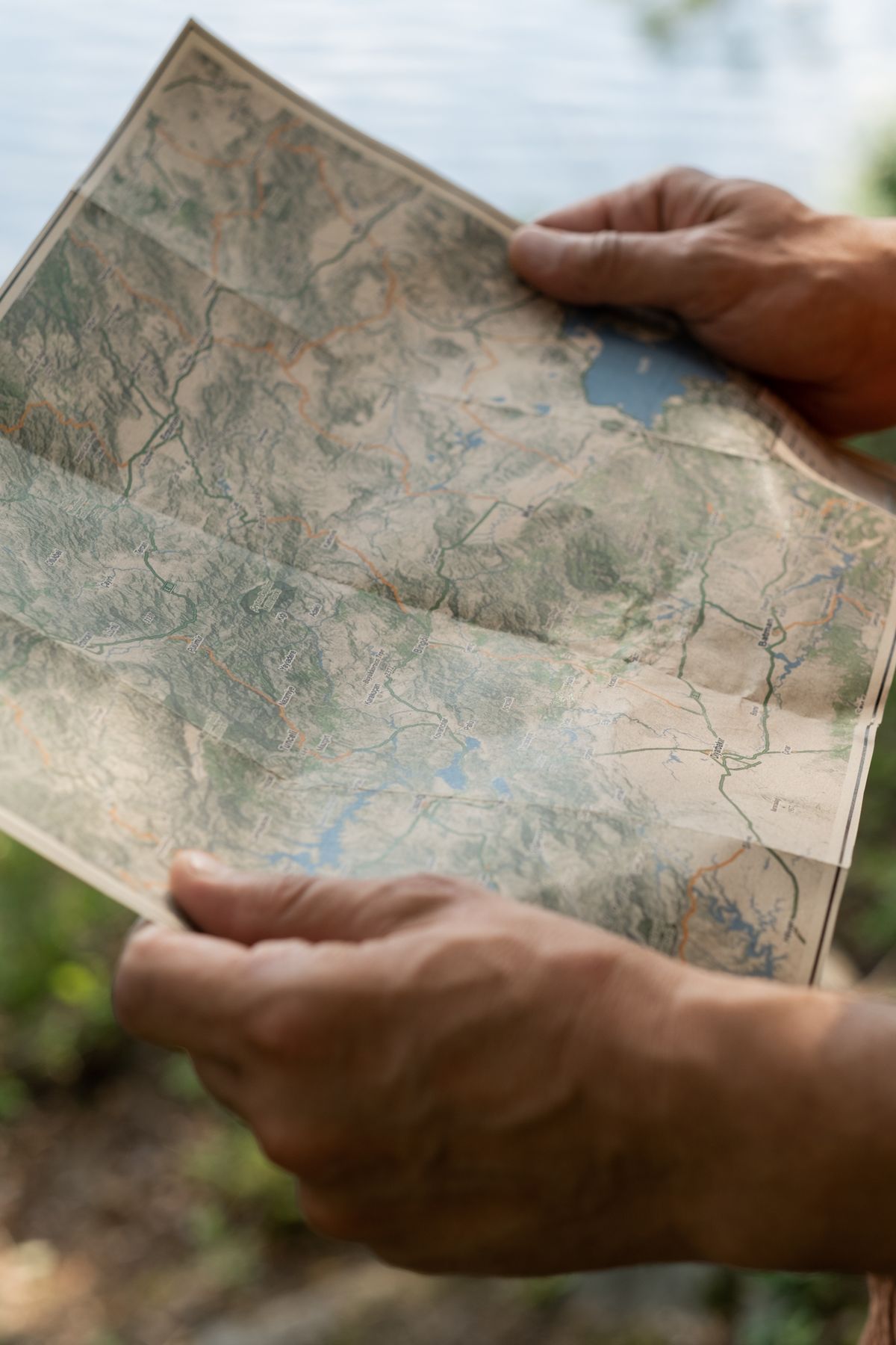
What a Good Topo Sheet Tells You Beyond the Trails
The margins of a USGS quadrangle are a compressed manual. The contour interval is stated there (commonly 20 or 40 feet on 1:24,000 sheets), and without it the contour lines are decoration; our how to find elevation on a topographic map guide turns intervals into numbers. The declination diagram shows the angle between true north, grid north, and magnetic north for that sheet and year, which is the difference between a compass bearing that works and one that misses by a valley; magnetic north drifts, so old sheets carry old declinations. The datum and projection notes (modern sheets are NAD83) matter when you mix the paper with a GPS set to a different datum. And the edition and revision dates tell you how much to trust the human features: contours are geology and barely age, while trails, roads, and buildings are journalism and age like it.
How a Trail Gets Onto a Map (and Why Yours Might Be Missing)
Understanding the pipeline explains the gaps every hiker meets. A trail begins as a line in the land manager's GIS database, surveyed or GPS-recorded by staff, and from there it flows outward at different speeds: into the manager's printed and PDF maps at their revision cycle, into USGS products at theirs, into OpenStreetMap when a contributor traces or walks it, and into the apps when their data refreshes run. A reroute therefore exists in the world for months before it exists in every map, and a brand-new trail can be blazed, signed, and walkable while still invisible in a two-year-old quadrangle. The reverse also happens: a decommissioned trail lingers in old data and old paper long after the manager has closed it and let it fade, which is why the freshest-looking line is not always a promise. When your map and the ground disagree, believe the ground and the manager's current publications, in that order, and consider the disagreement a data point about revision dates rather than a mystery. Maps are editions; trails are events.
The Middle Path: Georeferenced PDFs of the Real Sheets
Between the paper quadrangle and the app tile pack sits a hybrid worth knowing: the modern US Topo is published as a georeferenced PDF (a GeoPDF), which means the file itself knows where it sits on the Earth. Loaded into a georeferenced-map app on your phone, the official sheet becomes a live map: your position plots on the real USGS cartography, contours, declination diagram and all, with no data connection once the file is downloaded. This is the connoisseur's arrangement for serious backcountry travel, because it pairs the most trustworthy cartography in the country with the blue dot, and it fails independently in both directions (the file works in any PDF reader as a plain map if the app dies; the app works with other maps if you lose the file). Forest Service and park PDFs are increasingly published the same way. The habit to build is a small library: before a trip, download the quadrangles covering your route from The National Map, file them by area, and the collection becomes the most reliable map shelf you own, immune to app redesigns, subscription changes, and tile-server policies.
Paper, Phone, or Both: The Carrying Decision
For a marked trail in a popular park in good weather, a phone with the area downloaded, plus the park trail map (paper or PDF), is a complete kit, and it is what most hikers most days should carry. For anything off-trail, multi-day, above treeline, or in country where a wrong drainage is a survival problem, the professional answer is both: the paper topo at 1:24,000 in a waterproof case, a baseplate compass whose declination you have set, and the phone as the positioning instrument rather than the map of record. The reasoning is failure independence: batteries die in cold, screens die in drops, and paper fails only by fire and flood, on different days than electronics fail. Choose the kit by asking what a dead phone would cost you on this specific route, and let the answer, not habit, decide.
Related Guides
The closest companions to this guide are the travel and outdoors map skills guides below. Each one picks up a thread this page starts:
- Map Scale Bar: Read It, Measure With It, and Draw One That Tells the Truth: The scale bar is the hardest-working object on a printed map: a small ruler drawn in the map's own units that lets you turn any measured distance...
- Grid Reference: How Eastings and Northings Pin a Point to 100 Meters: A grid reference names a square of ground with numbers alone.
- How to Find Elevation on onX: Readouts, Contours, Elevation Bands, and Profiles: onX answers the elevation question on more surfaces than most users ever open: the current-location readout pairs your coordinates with your...
- Free Hiking Maps: The Authoritative Sources That Cost Nothing: the free authoritative shelf for every route
Frequently Asked Questions
What is the best scale for a hiking map?
For foot navigation, 1:24,000 (the USGS quadrangle scale, 2,000 feet per inch) or its metric near-equivalent 1:25,000 is the standard: enough detail to read switchbacks, streams, and contour spacing. Use 1:50,000 or smaller scales for planning across a region, not for navigating within it.
What is the difference between a topographic map and a trail map?
A topographic map describes the terrain itself, with contour lines, water, and landforms; trails are one layer among many. A trail map describes the route network: named trails, junctions, distances, campsites, and rules, usually on a simplified base. You choose routes on a trail map and judge terrain on a topographic map.
Where do USGS hiking maps come from?
The US Geological Survey publishes topographic quadrangles for the whole country, distributed digitally through The National Map, with historical editions in topoView. The Forest Service publishes FSTopo sheets for national forests, and the National Park Service publishes the official trail maps for its parks.
Is a phone map enough for hiking?
For a marked trail in a popular area, a phone with the map downloaded for offline use is usually enough, ideally with the park's trail map saved as well. For off-trail, multi-day, or high-consequence terrain, carry a paper topographic map and compass too: their failures are independent of the phone's battery and screen.
What is a contour interval and where is it printed?
The contour interval is the elevation difference between adjacent contour lines, and it is printed in the margin of the topographic sheet (commonly 20 or 40 feet on USGS 1:24,000 maps). Without it you cannot turn line spacing into steepness or read elevations off the map.
Photo credits: cottonbro studio (Pexels); Ron Lach (Pexels). Photos are served from this site; follow the credit to the library page for the original.