A trail map is not just a drawing; it is a claim, made by someone, about what exists on the ground. The question that decides whether a map deserves your trust is who maintains the trail, because that organization's map is the one that gets corrected when a bridge washes out or a segment is rerouted. This guide ranks the sources of trail maps by that authority, explains what each layer is actually best at, and gives the assembly method for a specific hike: the manager's map for the official word, a topographic map for the terrain, and current condition reports for this week. It is the sourcing companion to our hiking maps explainer, which covers the types and scales themselves.
Home / Map Skills for Travel and Outdoors
Trail Maps: Where to Get the Authoritative Map for a Specific Trail, From Land Managers to USGS to Community Data
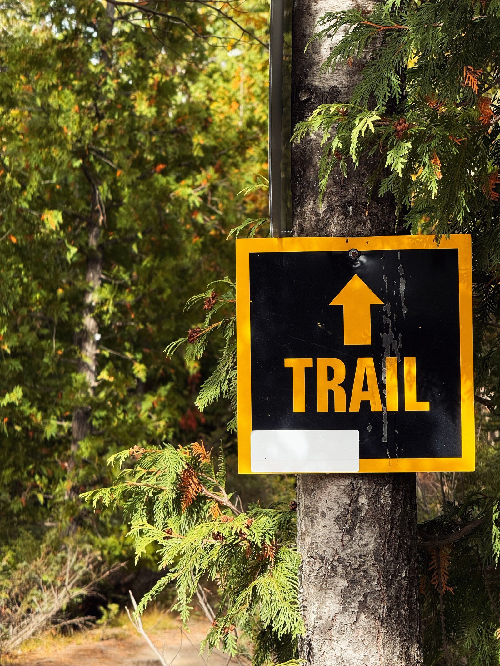
Photo: Meghna Ramakrishnan / Pexels
Interactive tool
Trust but Verify: The Trail Map Method
Check off each step as you finish it. Your progress stays on this page.
0 of 7 complete
0% done
First: The Land Manager's Map
The land manager is the agency or organization that owns the trail's upkeep, and its publications are the top of the hierarchy.
- National Park Service: each park's official map, on the park's NPS site and handed out at entrances, shows the maintained trail network, official campsites, and closures as the park itself understands them.
- US Forest Service: national forest trails are documented forest by forest, with FSTopo quadrangles for terrain and, critically, the Motor Vehicle Use Map (MVUM) as the legal document for where motorized use is allowed. For anything with wheels, the MVUM is not a suggestion; it is the designation itself.
- Bureau of Land Management: BLM field offices publish recreation maps for their districts, the authoritative word on vast desert and canyon trail systems that commercial publishers cover thinly.
- State and county parks: their own trail maps, posted at trailheads and park sites, are uneven in polish and unmatched in currency for their small networks.
- Trail associations: for long trails, the dedicated associations (the Appalachian Trail Conservancy, the Pacific Crest Trail Association, and their peers) publish the maps and data books the community actually navigates by, built from the managers' data and their own field programs.
Start every trail question at the manager's site. If a commercial app and the manager disagree about a trail's existence, the manager is right by definition: an unmaintained line on the ground is not a trail, whatever the app calls it.
Second: USGS Topographic Coverage, the Terrain Truth
The manager's map tells you the official network; the USGS quadrangle tells you the ground it crosses. US Topo sheets, through The National Map (with historical editions in topoView), provide the contour-accurate terrain layer at 1:24,000, plus hydrography and boundaries. Their trail layer is compiled and can lag reroutes by years, so use USGS for what it is authoritative about, terrain, and the manager for what it is authoritative about, the network. Together they answer the two questions a hike asks: where does the trail go, and what does the country do underneath it. Our how to find elevation on a topographic map guide covers reading the terrain layer once you have it.
Third: Community and Commercial Layers, Used With Eyes Open
Below the official sources sits the layer most hikers actually open first: OpenStreetMap-based maps such as OpenTopoMap, and aggregator apps built substantially on community data, plus builders like CalTopo where you assemble your own stack of layers. This layer's strengths are real: coverage of trails officialdom maps poorly, frequent updates where local mappers are active, and tools (slope shading, satellite overlays) no agency publishes as well. Its weaknesses are the mirror image: a trail in OSM is a claim by a contributor, possibly about a social path, a closed route, or a line that was never legal to walk, and aggregators can carry stale closures and invented shortcuts with total visual confidence. The rule for this layer is corroborate: a community trail that also appears on the manager's map is a trail; a community-only line is a hypothesis to verify against the manager's site, a recent trip report, or the trailhead sign, in that order.

Conditions Are Not Maps: The Third Ingredient
Even a perfect, current map says nothing about this week. Snowpack in June, a washed-out crossing, a wildfire closure, a seasonal gate: conditions live in a different information system, and assembling a hike means consulting it deliberately. The manager's alerts and conditions pages (every park and forest maintains one) carry official closures, which override every map including their own. Recent trip reports on the hiking community sites carry the ground truth about water, blowdowns, and bugs, with dates attached; a report from this month outweighs a guidebook from any year. The assembly, then, is three-layered: manager's map for the network, topo for the terrain, alerts and fresh reports for the week. Skipping the third layer is how hikers with excellent maps meet a locked gate at mile nine.
Reading the Fine Print: Dates, Disclaimers, and Data Sources
Trail maps carry their credentials in the margins, and thirty seconds there calibrates everything else. The publication or revision date tells you the newest fact the map can possibly contain; a 2016 park map cannot know about the 2023 reroute, and its silence is not evidence. The data sources note, present on USGS and better agency maps, names where the trails layer came from, which tells you whether you are reading the manager's own data or a compilation of compilations. The disclaimer, which hikers skip as boilerplate, usually says the true thing plainly: conditions change, the map is not a guarantee, and the visitor is responsible for judgment, which is the legal form of this article's whole argument. Commercial and app maps deserve the same interrogation in digital form: find the data date in the settings or the about panel, and notice whether closures and seasonal information carry dates at all. A map that will not tell you when it was made is asking for a trust it has not earned, and on a trail, unearned trust is the only kind that gets anyone hurt.
When the Sources Disagree: The Sign, and the World Beyond the US
Two refinements complete the hierarchy. At the trailhead, the physical sign outranks every document, including the manager's own map: if the kiosk map shows a reroute notice, a hand-amended closure, or a trail name that differs from your printout, the sign is the manager speaking today, while the map is the manager speaking at print time. Photograph the kiosk map before you start; it is the freshest edition in existence and it weighs nothing. Outside the United States the same hierarchy wears local names. Britain's Ordnance Survey maps are the terrain truth and the national park authorities and landowners define their trail networks; France pairs IGN topographic sheets with federation waymarking; alpine countries pair national survey maps with alpine club publications, which play the trail association role at a very high standard. The names change; the logic does not. Somewhere there is an organization that maintains the treadway, its publication is the authority, a national survey supplies the terrain, and community data fills the gaps with the same strengths and the same caveats as at home. Learn to ask "whose trail is this" in any country and you can assemble a trustworthy map stack anywhere on Earth.
Putting It Together for One Specific Trail
Worked pattern, for any trail you can name. One: identify the land manager from the trailhead's jurisdiction (the park, forest, or BLM district whose name is on the sign or the search result). Two: download that manager's trail map PDF and note its date. Three: pull the USGS quadrangle for the area and check the route against contours for the day's real climbing, using the skills in our hiking maps guide. Four: check the manager's alerts page for closures, and read two or three recent trip reports for water and surface conditions. Five: save the whole set offline on your phone, manager map included, since the trailhead is exactly where signal goes to die, and carry the paper or PDF trail map as the device-independent copy. A bonus worth the habit: many agency trail PDFs are georeferenced like the USGS sheets described in our hiking maps guide, so loaded into a map app they plot your position on the manager's own cartography, authority and blue dot in one artifact. Fifteen minutes of assembly converts a pile of contradictory internet maps into one picture with an authority, a terrain, and a date.
Related Guides
The closest companions to this guide are the travel and outdoors map skills guides below. Each one picks up a thread this page starts:
- Best Hiking Map App for iPhone: AllTrails, Gaia GPS, onX, and Apple Maps on Trail: The iPhone hiking contest is not the general hiking contest, because iOS changes the answers.
- Best Hiking Map App for Europe: National Maps, Huts, and Borders: Europe has no single hiking map because Europe has no single mapping tradition: it has the finest national mapping agencies on earth, each with...
- Best Hiking Map App for the UK: Ordnance Survey Data in Your Pocket: British hiking runs on one dataset: Ordnance Survey mapping, the Explorer sheets at 1:25,000 that show every footpath, wall, and access boundary a...
- Trail Maps of Acadia National Park: The Carriage Road System and Its Own Map: The method applied to one park with two circulation systems.
Frequently Asked Questions
What is the most reliable source for a trail map?
The land manager that maintains the trail: the National Park Service for national parks, the Forest Service for national forests, the BLM for its districts, and state or county park systems for theirs. Their maps define the official network and are corrected when trails are rerouted or closed.
Are app trail maps like AllTrails and Gaia reliable?
They are useful and often excellent, but they are aggregators built largely on community data, so a line in an app is a contributor's claim, not an official designation. Corroborate app-only trails against the land manager's map or site, and always check the manager's alerts page for closures, which apps may not reflect.
What is the MVUM and why does it matter?
The Motor Vehicle Use Map is the US Forest Service's official designation of where motorized use is allowed on national forest roads and trails. For any motorized route, the MVUM is the legal document: if a track is not designated on it, riding or driving it is not permitted, whatever other maps show.
Where do I check if a trail is closed?
On the land manager's alerts or conditions page for that park, forest, or district. Official closures override every map, including the manager's own printed one. Recent dated trip reports from other hikers are the best supplement for conditions like water, snow, and washouts.
Should I trust OpenStreetMap trails?
Trust them in proportion to corroboration. OSM trail data is superb where active local mappers maintain it and is the backbone of many good maps, but it can include social paths and closed or unofficial routes. A trail that appears in both OSM and the manager's publications is solid; an OSM-only line is worth verifying before you depend on it.
Photo credits: Meghna Ramakrishnan (Pexels); Furkan Idrizi (Pexels). Photos are served from this site; follow the credit to the library page for the original.