Most national parks ask the map user for one literacy. Acadia asks for two, because it contains two complete circulation systems sharing one island. The first is the hiking network everyone expects: granite summits, shore paths, ladder trails climbing iron rungs up cliffs. The second is a system with no real counterpart in the park system: 45 miles of carriage roads, broken-stone roads built under John D. Rockefeller Jr. between 1913 and 1940, closed to motor vehicles then and now, traveled by walkers, cyclists, and horses, and documented by a map of their own. Visitors who bring one map for a two-system park spend their trip translating. This guide builds the stack properly: both systems, each with its own documents, and the road and bus layers that connect them.
Home / Map Skills for Travel and Outdoors
Trail Maps of Acadia National Park: The Carriage Road System and Its Own Map
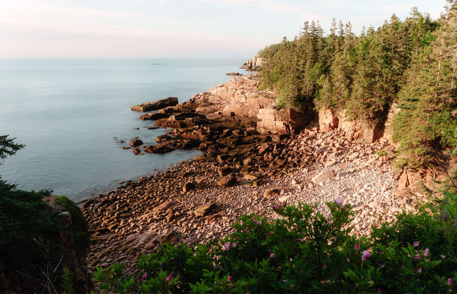
Photo: James Mirakian / Pexels
Carriage Roads First: The Acadia Checklist
Check off each step as you finish it. Your progress stays on this page.
0 of 7 complete
0% done
The Carriage Roads: A System With Its Own Map
The National Park Service publishes the system's own document, the Carriage Road User's Map, and it is the first map an Acadia visitor should obtain, because the carriage roads obey a logic the hiking sheets do not draw. The roads wind through the island's interior, over and under the motor roads, past lakes and through forests, on a network of intersections that are numbered, with the numbers posted on wooden signposts at the junctions themselves. The user map and the signposts are one system: the number on the post is the number on the map, and navigation on the carriage roads is therefore a matter of counting junctions rather than reading terrain, a bicycle-friendly logic from the age before satellites. The mileage figure deserves its own sentence because the internet argues about it: the Park Service's figure for the carriage road system is 45 miles. A figure of 120 miles circulates in blogs and roundups; it conflicts with the NPS number (it appears to fold in other roads and trails), and this guide prints the park's own count, attributed, the way our Michigan guide handles its park count.
The Stone Bridges and the Roads' Rules
The carriage roads carry their architecture with them: historic stone bridges, each one designed for its site, spanning streams, waterfalls, and the motor roads below, and as much a destination list as a route network. The user's map marks them, and planning a carriage road day often means choosing which bridges to collect. The system's rules are part of its map literacy: the roads are closed to motor vehicles without exception; cyclists yield to everyone and walkers to horses; and the surface, finely broken stone, rides kindly and walks kindly but asks respect in wet weather. None of this is on the hiking sheets, which is the guide's refrain in miniature: the wrong map does not merely lack detail, it lacks the rules of the system you are standing in.
The Hiking Network: Granite, Ladders, and Shore
The hiking Acadia is a compact, intense network on and around the island's granite domes: Cadillac Mountain and its neighbors, the Precipice and Beehive's iron-rung ladder routes, ocean paths along the cliffs, and quieter forest trails in the island's west. The Park Service's general park map orients the whole, and for the trails themselves the field standard recommended by the park map specialists at npmaps is the Map Adventures waterproof trail map of Acadia, preferred there over the National Geographic Trails Illustrated sheet (drawn at 1:35,000): local, detailed, and built for the island's density, where a mile of Acadia trail can contain more junctions than five miles of a western park. The stack logic mirrors our Glacier guide: the official overview for orientation, the best local sheet for the walking itself, each doing its own job.

The Park Loop Road and the Island Explorer
Two motorized layers serve the two unmotorized systems, and both belong on the visitor's map. The Park Loop Road, 27 miles of one-way and two-way scenic road, is the access spine for the trailheads and carriage road gates of the island's east side, and its map is the day's skeleton: which trailhead, which gate, in which order. Around it runs the Island Explorer, the fare-free bus system that serves the park and the island's villages in season, with routes drawn precisely to return hikers and cyclists to their starting points and cars. The bus map is a trail document in disguise: it converts point-to-point walks, the carriage road system's natural shape, from logistical puzzles into one-way pleasures, and the stack that omits it plans worse days than the stack that includes it. Read the three together, carriage map, trail sheet, loop and bus map, and the island becomes legible as the machine its builders intended.
Beyond the Main Island: Schoodic and Isle au Haut
Acadia is not only Mount Desert Island, and its map set is not one sheet. The Schoodic Peninsula, the park's mainland section, has its own carriage roads, its own trails, and its own map sheet, quieter and wilder in feel. Isle au Haut, reached by mail boat, is the connoisseur's Acadia: a small trail network on a working island, with its own map and its own logistics of boats and timing. Both sections punish the visitor who assumes the main island's documents cover them, and reward the one who treats each as its own small park with its own paper, the state-system lesson from Michigan recurring at park scale: the manager publishes per unit, and the visitor collects per unit.
A Day Built From the Stack
Watch the documents cooperate on one good day. Breakfast in Bar Harbor with the Island Explorer schedule: the bus to the carriage road gate nearest Jordan Pond. The Carriage Road User's Map takes over at the gate: junction numbers counted to the Jordan Pond House clearing, then the loop around the pond, bridges collected on the way, the map's numbered logic making a wrong turn nearly impossible and instantly correctable at the next posted number. Lunch, then the hiking sheet's turn: a shore-and-summit afternoon on the Ocean Path and up Gorham Mountain, the Map Adventures sheet earning its waterproofing against the fog that finds the coast by three. The Loop Road map closes the day, timing the drive out past Otter Cliffs in the low light, or the bus again, back to town, the car never moved. Three documents, three systems, zero translation losses: that is what a stack is for, and Acadia, small enough to hold in one hand and dense enough to confuse for a week, is the park that teaches the lesson fastest.
Bicycles, Horses, and the Roads' Social Contract
The carriage roads run on etiquette as much as on stone, and the map user benefits from knowing the contract before the first junction. The roads were built for horses, and horses keep the right of way: cyclists and walkers yield to them, and cyclists yield to walkers in turn, a hierarchy printed in the park's materials and enforced by culture more than by rangers. Bikes are rented in Bar Harbor by the thousands, and the user map's junction numbers are the rental fleet's shared language, which is why a lost cyclist at a signpost is a solvable problem: name the number you are at and the number you want, and any passerby becomes a routing engine. E-bikes follow the park's current rules, which change as policy evolves and belong to the live notices layer, not to a printed guide. The roads' social contract, slow down, yield down the chain, greet the horses early and calmly, is part of what the 45 miles are for: Rockefeller built a refuge from the motor age, and the map, with its patient numbered junctions, is the refuge's operating manual.
Seasons and Closures: The Map's Fine Print
Acadia's systems keep seasons. The carriage roads close in mud season and after storms, on the Park Service's word, posted and updated by the park; the Loop Road's main section is seasonal; the Island Explorer runs in the visitor season and not beyond it. Every document in this stack therefore has a live layer above it, the park's own current notices, and the stack's final discipline is the one every guide in this series ends on: read the manager's notices last and believe them first, because the map, however official, is a portrait of the park as surveyed, and the notice is the park as it stands this morning. Cadillac's summit, the first sunrise in the nation for much of the year, adds a reservation layer in season for drivers; the walkers who climb in the dark with the trail sheet and a headlamp are using the oldest reservation system there is, and the map serves them unchanged.
Related Guides
If this page answered part of the question, these travel and outdoors guides cover the rest of the same ground:
- Trail Maps of Michigan: The DNR System, the Iron Belle, and the North Country Trail: The state-scale companion: a whole department's trail system, with the same attributed-count honesty.
- Hiking Maps of Glacier National Park: The NPS Map, the Trails Illustrated Sheets, and the Sun Road: The other great park stack: official overview, commercial field sheet, and a famous road.
- Trail Maps of Colorado: COTREX, USGS Quads, and the Official Layers: A state system rather than a park one, with the same layered discipline.
- Trail Maps: The Method Behind Every State and Park Guide: The general method: authoritative sources first, each layer doing its own job.
Frequently Asked Questions
What is the Carriage Road User's Map?
The National Park Service's official map of Acadia's carriage road system: 45 miles of motor-free, broken-stone roads with numbered intersections that match numbered signposts on the ground. It is a separate document from the hiking trail maps, because the carriage roads are a separate system with their own rules.
How many miles of carriage roads does Acadia have?
45 miles, per the National Park Service. A figure of 120 miles circulates online; it conflicts with the park's own count and appears to fold in other roads and trails. This guide prints the NPS figure.
Which trail map should I carry for hiking in Acadia?
The Map Adventures waterproof trail map is the field standard recommended by the park map specialists at npmaps, preferred over the National Geographic Trails Illustrated sheet at 1:35,000 for the island's dense trail network. Pair it with the NPS park map for orientation and the Carriage Road User's Map for the road system.
How long is the Park Loop Road?
27 miles. It is the access spine for the east side's trailheads and carriage road gates, and together with the fare-free Island Explorer bus routes, it forms the motorized layer that serves the park's two unmotorized systems.
Does Acadia extend beyond Mount Desert Island?
Yes. The Schoodic Peninsula on the mainland and Isle au Haut, reached by mail boat, are both part of the park, and each has its own map sheet and logistics. Treat each section as its own small park when collecting maps.
Photo credits: James Mirakian (Pexels); Nicole Seidl (Pexels). Photos are served from this site; follow the credit to the library page for the original.