Some states have trails. Michigan has a trail system, administered like one: a single department, the Department of Natural Resources, publishing the maps for a network that runs from Detroit riverfront paths to the Porcupine Mountains, through 103 state parks and recreation areas (the DNR's own count; broader tallies that fold in state scenic sites and trail parks reach 113 units, and the difference is bookkeeping, not geography, so attribute the figure when you use it). For the map user, the system quality is what matters: one publisher, one standard, maps that agree with each other. This guide builds the Michigan stack the way the state built the network: the DNR layer first and authoritative, the long trails as their own literature, and the commercial apps as carrying cases rather than sources.
Home / Map Skills for Travel and Outdoors
Trail Maps of Michigan: The DNR System, the Iron Belle, and the North Country Trail
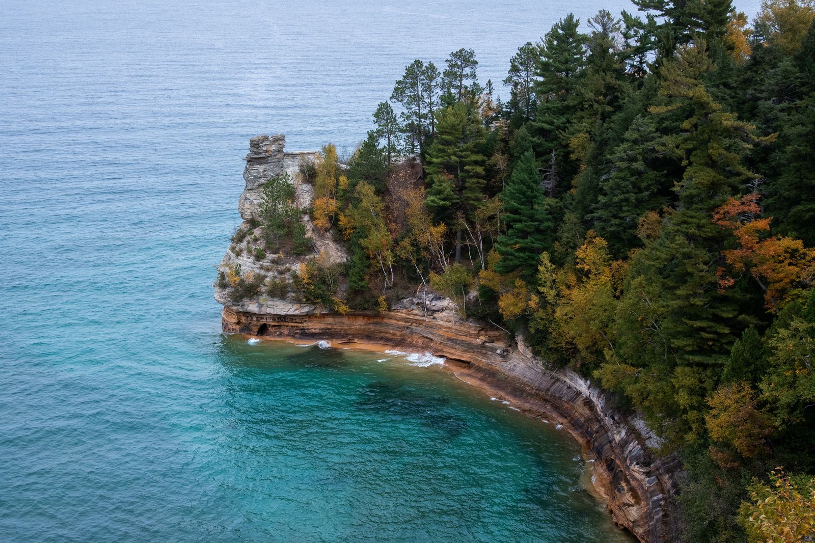
Photo: Jan Tang / Pexels
One Department, Every Trail: The Michigan Checklist
Check off each step as you finish it. Your progress stays on this page.
0 of 7 complete
0% done
The DNR Layer: Park by Park, PDF by PDF
The foundation document of Michigan hiking is unglamorous and perfect: the per-park trail map PDF the DNR publishes for its parks and recreation areas. Each is the manager's own drawing of that park's trails, trailheads, and facilities, free from the DNR's site, and printable at the kitchen table where Michigan trips are actually planned. The collection method is the stack's first discipline: before a trip, pull the PDFs for your parks, because the park map, not the app, is what the signage on the ground was drawn from, and discrepancies between the two resolve in the PDF's favor every time.
Above the individual sheets, the DNR maintains its trail mapping as image services, the department's own geographic data served for use in mapping applications, which is why the better Michigan trail apps so often agree with the PDFs: they are drinking from the same well. Knowing the well exists changes how you read any Michigan trail information: ask of every source whether it descends from the DNR data or from crowdsourced tracks, and weight it accordingly. Our Colorado guide teaches the same loyalty to a state system, COTREX, built the same way for the same reason: the manager's data, published on purpose.
The Iron Belle: Two Routes, One Name
Michigan's signature trail teaches the state's favorite cartographic puzzle. The Iron Belle Trail, running from Belle Isle in Detroit to Ironwood at the Wisconsin line in the western Upper Peninsula, is not one trail but two routes under one name: a hiking route and a biking route, sharing the brand and the endpoints and diverging, sometimes for whole counties, in between, because feet and wheels need different ground. Map users trip on this in a specific way: they download "the Iron Belle" from a source that drew one route, follow the other mode's signs on the ground, and conclude the map is wrong in a place where the name was doing two jobs. The fix is literacy, not a better app: always ask which Iron Belle a map shows, and expect the DNR's materials, which distinguish the routes scrupulously, to be the referee. The trail is also a work in progress in the way of long trails, with gaps closed year by year; the current status lives with the DNR and the trail's own organization, not in any downloaded snapshot, ours included.
The North Country Trail: Michigan's Long Share
The North Country National Scenic Trail, the longest of America's national scenic trails, spends more of its length in Michigan than in any other state, crossing both peninsulas: the Lower Peninsula's forests and the Upper Peninsula's great arc from the Mackinac Straits toward Wisconsin. Its maps are a federal and volunteer literature, the National Park Service overseeing, the North Country Trail Association and its chapters maintaining the detailed segment knowledge, and the hiker's stack for an NCT section pairs the association's maps with the DNR sheets where the trail crosses state land, which is often. The databook habit from our Colorado Trail discussion applies with full force: long trails reward the small, dense, purpose-built document, and the NCT's segment literature is exactly that.
Two Peninsulas, Two Map Climates
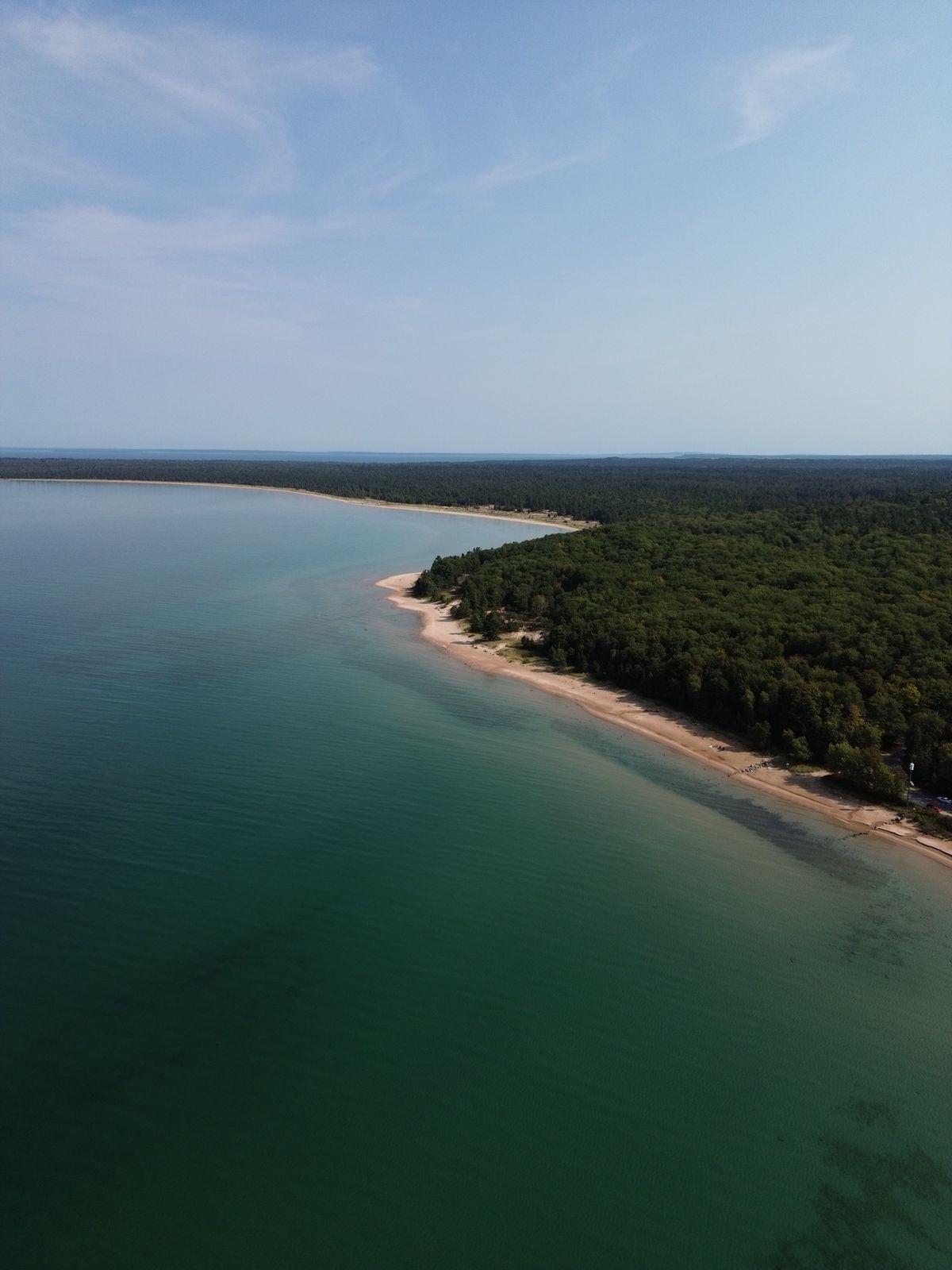
Michigan's geography splits its trail mapping into two climates of use. The Lower Peninsula is the populated map: dense state forest trails, rail trails webbing the farm country, park PDFs for every thumb of the mitten, and signal that mostly cooperates. The Upper Peninsula is the expedition map: the Porcupine Mountains, Pictured Rocks' lakeshore (a national lakeshore, mapped by the Park Service with the DNR sheets as neighbors), distances that humble itineraries, and signal that treats the interior as a rumor. The offline discipline therefore splits too: in the Lower, download for convenience; in the Upper, download as the offline country guides teach, as if the map were the only copy, because pastimes of the UP have a way of making it one. Winter redraws both maps again: Michigan's snowmobile network is one of the largest signed trail systems on the continent, and it is mapped by the DNR as its own family, which brings us to the neighbors.
The Motorized Families: Snowmobile and ORV Maps
A Michigan peculiarity the hiker must at least know exists: the DNR publishes separate map families for snowmobile trails and for ORV (off-road vehicle) routes, extensive signed systems with their own maps, seasons, and rules, overlapping the hiking geography without being part of it. The practical consequences are two. In winter, the snowmobile maps are the trail maps of record for huge areas, and a winter hiker or skier plans with them open beside the summer sheets. Year-round, an unfamiliar groomed corridor or a signed route that your hiking map does not know is usually one of the motorized families introducing itself; the DNR's site, which publishes all the families side by side, resolves the identity in a minute. Systems literacy, knowing how many map families a state runs and which one you are holding, is the Michigan skill underneath all the others.
The Lakeshores: Superior, Michigan, and Huron Trails
Michigan's trail identity is written along water, and its map stack has a shoreline accent the inland states lack. Three of the Great Lakes border the state, and the signature walks are shore walks: the Pictured Rocks cliffs in the Upper Peninsula, where the trail follows Lake Superior's sandstone for miles and the Park Service's maps govern; Sleeping Bear Dunes on Lake Michigan, where the DNR and the national lakeshore's documents overlap and both deserve carrying; the Huron shore's quieter state parks and forest trails, where the per-park PDFs are nearly the whole literature and all the better for it. Shore trails share a map behavior worth naming: they are linear, exposed, and committed, with bail-out points measured in miles, so the map work happens before the beach, distances between access points read off the PDF at the kitchen table, water and weather planned against them. The apps record these walks beautifully. The decision about whether the walk fits the day is made from the manager's sheet, and Michigan's shoreline, Superior in November especially, enforces the distinction with weather.
Rail Trails and the Farm Country Web
The Lower Peninsula's other network deserves its paragraph: the rail trails, converted rail corridors running straight and gentle through the farm country and the small towns, hundreds of miles of them, mapped by the DNR and by the trails' own conservancies. Rail trails are the state's connective tissue, the Iron Belle's routes run on them for long stretches, and their maps are models of the genre: mile markers, trailheads, town services, the whole linear community of a corridor in one strip document. For the map user they teach a pleasant inversion: on a rail trail, the map is nearly redundant while you are on it (the corridor cannot be lost) and essential at its ends, where the questions are all about connections, food, and the way back. Plan the ends from the documents; the middle takes care of itself, which is as close as Michigan mapping gets to a free lunch.
The Apps, in Their Place
Commercial trail apps earn their keep in Michigan as they do everywhere: for the live position on the downloaded DNR-descended data, the elevation profile, the track recording. Their authority ranking is the guide's refrain: DNR PDF and DNR data first, the long trails' own literature second, the app as the screen that carries them. Where an app and a park PDF disagree about a trail's existence or a closure, the PDF is the manager talking and the app is a copy of a copy; believe the manager, and let the Washington state guide stand as the regional pattern's other witness, another state whose own institutions publish the stack's foundation.
Related Guides
If this page answered part of the question, these travel and outdoors guides cover the rest of the same ground:
- Trail Maps of Acadia National Park: The Carriage Road System and Its Own Map: The park-scale companion: one famous park whose trail system has its own official map and its own rules.
- Trail Maps of Colorado: COTREX, USGS Quads, and the Official Layers: The sister state system: another state that built its trails into one official, published whole.
- Hiking Maps of Washington State: The WTA Hike Finder, Green Trails Sheets, and Three National Parks: The Pacific Northwest version of the pattern: regional authorities first, apps second.
- Trail Maps: The Method Behind Every State and Park Guide: The general method this guide applies: authoritative sources, each doing its own job.
Frequently Asked Questions
Where do I find official Michigan trail maps?
From the Michigan Department of Natural Resources: per-park trail map PDFs for the state parks and recreation areas, and the department's trail data served as image services that feed mapping apps. The DNR's maps are the authority the ground signage was drawn from.
What is the Iron Belle Trail, exactly?
A state trail from Belle Isle in Detroit to Ironwood in the western Upper Peninsula, existing as two routes under one name: a hiking route and a biking route that share endpoints and diverge between them. Always check which route a map or a sign is describing.
How many state parks does Michigan have?
The DNR counts 103 state parks and recreation areas. Broader tallies that include state scenic sites and trail parks reach 113 total units. The difference is which categories are counted, so attribute the figure to its source when it matters.
Are snowmobile trails on the hiking maps?
They are a separate DNR map family, as are the ORV routes: extensive signed systems with their own maps and seasons. In winter the snowmobile maps are essential planning documents; year-round, an unknown signed corridor is usually one of these families.
Which state's trails does the North Country Trail cross in Michigan?
Both peninsulas. The North Country National Scenic Trail spends more miles in Michigan than in any other state, crossing the Lower Peninsula's forests and the Upper Peninsula's arc, mapped by the Park Service and the North Country Trail Association's segment literature.
Photo credits: Jan Tang (Pexels); Ryan Latimer (Pexels). Photos are served from this site; follow the credit to the library page for the original.