Most states leave their trail mapping to whoever shows up: a patchwork of park PDFs, forest maps, and app data of varying vintage. Colorado organized. The state, through Colorado Parks and Wildlife, built a single official trail system fed by the agencies that actually manage the ground, and made it free. That decision gives Colorado hikers a map stack with a clear center, and this guide builds outward from it: the official system first, the federal paper beneath it, the commercial sheets that cover the famous country best, and the specialist documents for forest roads and the one very long trail. If you hike Colorado with only an app store's opinion, you are missing the layer the state built for you.
Home / Map Skills for Travel and Outdoors
Trail Maps of Colorado: COTREX, USGS Quads, and the Official Layers
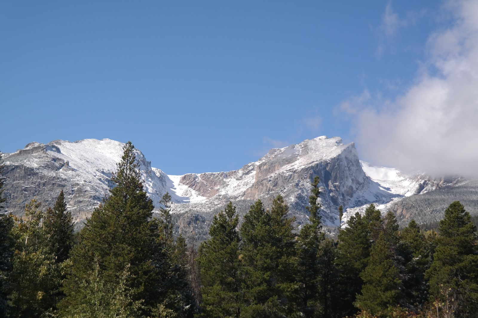
Photo: Caryn Morgan / Pexels
Interactive tool
The Official Layer First: The Colorado Trails Checklist
Check off each step as you finish it. Your progress stays on this page.
0 of 7 complete
0% done
COTREX: The Official System
The Colorado Trail Explorer, COTREX, is the centerpiece: a free trail mapping system from Colorado Parks and Wildlife, on the web and in apps, whose defining feature is provenance. Its trail data comes from more than 230 trail managers, the federal agencies, counties, cities, and land trusts that own the tread, which makes COTREX the closest thing American hiking has to a single source of truth for one state. The practical consequences are the ones that matter on a Friday night: trails drawn by their managers rather than scraped from strangers' tracks, closures and advisories posted in the system by the people who closed them, and offline downloads so the official map works in the canyons and high basins where Colorado signal goes to die. Plan in COTREX on the big screen first, following the workflow our online maps guide teaches, download your trails for the weekend, and let its notices have the last word over any other source, including this one. When COTREX and a commercial app disagree about whether a trail exists or is open, believe COTREX, and then go verify at the trailhead like a citizen.
The Paper Truth: USGS 7.5 Minute Quads
Under the living system lies the surveyed one. Colorado's mountains were mapped in the USGS 7.5 minute quadrangle series at 1:24,000, and those sheets remain the most detailed general-purpose maps of the state's ground: every contour, creek, mine, and jeep track the survey recorded, at a scale where a mile is a hand's breadth. They are free as GeoPDFs through the USGS, as our free maps guide explains, and they answer the questions COTREX is not for: the shape of the terrain itself, the steepness of the slope off the trail, the drainage your route crosses and the one it should not. Carry the quad for your area on the phone beside COTREX, or printed in the sleeve, and the two layers check each other: the system for the trail's status, the sheet for the country's character. In the high alpine, where a route is a line across a quad's contours more than a tread on the ground, the sheet is not the backup. It is the map.
Trails Illustrated and the Famous Country
For Colorado's celebrity landscapes, the commercial sheet worth its money is National Geographic's Trails Illustrated series, whose Colorado coverage maps the national parks and famous ranges, Rocky Mountain, the Indian Peaks, the Maroon Bells country, the San Juans, on waterproof paper at scales chosen for walkers, with trail mileages and facilities compiled for the visitor rather than the surveyor. These sheets earn their place in the stack for a specific reason: they are edited for the trip you are actually taking, updated on a commercial rhythm, and legible at a glance in wind and glare in a way a printed GeoPDF rarely is. The stack logic is not either-or. COTREX decides what is open, the quad describes the ground, and the Trails Illustrated sheet, where one exists for your range, is the field copy you will actually unfold at the junction. States with strong regional systems reward the same layering; our Washington guide builds its stack around the WTA and Green Trails in the same spirit.
Forest Roads: The MVUM Decides
Half of Colorado trailheads sit at the end of a forest road, and the document that governs those roads is the Forest Service's Motor Vehicle Use Map, the MVUM: free, official, and specific about which roads are open to which vehicles and in which seasons. The trail map gets you to the forest; the MVUM gets you legally down its roads, and the difference matters in a state where a tempting shortcut on an app may be a road closed to full-size vehicles, seasonally gated, or open only to the high-clearance crowd. Download the MVUM for the national forest you are entering, Arapaho and Roosevelt, White River, San Juan, Pike, alongside your trail material, and check the last miles against it before the trip rather than at the gate. Our USA offline guide teaches the same MVUM habit at national scale; Colorado is simply where most hikers first learn why it exists, usually within sight of a locked gate and a long walk they did not plan.
The Colorado Trail and the Databook Tradition
One trail gets its own literature. The Colorado Trail, running from the Denver area to Durango through the heart of the ranges, is documented by the Colorado Trail Foundation, whose databook is the walker's authority for the route: segment by segment mileages, water, camps, and resupply, in the compact form long trails evolve because their walkers carry every page. The databook tradition is worth copying even off the long trail: a small, dense, purpose-built document that answers the questions the walker actually asks, in the order they ask them. Thru-hikers pair it with COTREX downloads segment by segment and the quads for the high traverses; section hikers use the same sources at weekend scale. Note what the stack never includes: a single mileage figure for the state's whole trail network, quoted anywhere. Sources disagree about Colorado's total trail mileage by thousands of miles, because they count different things, singletrack, all trails, system trails with connectors, and the honest guides decline to print a number whose definition they cannot state. Count your own hike instead. It is the only mileage that will ever be checked.
The Stack, Assembled
Assembled for a Colorado weekend, the system is: COTREX for the plan and the closures, downloaded offline before the drive; the USGS quad for the ground itself; a Trails Illustrated sheet if your range has one and the trip justifies paper; the MVUM if a forest road stands between you and the trailhead; and the land manager's own notices, state park, forest, or park service, read last and believed first. Every layer is official or edited, most are free, and the whole stack fits the pattern this site's hiking maps explainer describes: authoritative sources, each doing the job it is best at, with the apps as the carrying case rather than the authority. Colorado simply makes the pattern easier than anywhere else in the country, because Colorado built the center of it on purpose. Use the gift.
The High Country: Fourteeners, Altitude, and Seasonal Windows
Colorado's signature hiking is vertical, and its map stack has a high-altitude annex. The state's fifty-odd peaks above 14,000 feet draw a literature of their own: route descriptions maintained by the fourteener community and the Colorado Mountain Club, with the standard routes graded, photographed, and argued over in a detail no general map attempts. The maps for this country are the quads first of all, because above treeline the route is a negotiation with contours, and COTREX and the land managers for the status of the approach trails and roads. What the high country adds to ordinary planning is the calendar and the clock: snowfields that hold into July on the shaded aspects, an afternoon thunderstorm rhythm in summer that turns summit timing into a safety calculation, and trailheads whose forest roads, MVUM again, open weeks after the calendar says spring. The map stack handles all of it the same way it handles everything else in this guide: official sources for what is open, surveyed sheets for what the ground is, community literature for what the route demands, and a start time chosen with the humility the altitude teaches everyone eventually. Print the quad for a fourteener. The summit register is not the only paper that has earned its place up there.
Winter Colorado: The Stack in the Snow Season
The same state, six months later, is a different map problem, and Colorado's winter stack rewards the hiker who rebuilds it deliberately. The Colorado Avalanche Information Center becomes the first layer of the day: its forecasts and observation network are the winter equivalent of COTREX closures, official, expert, and read before the route is chosen rather than after. Snowshoe and ski routes follow summer trails only sometimes; winter travel reads terrain through the lens of slope angle, and the quad's contours, with the slope shading derived from them, become the safety instrument they only pretended to be in July. Trailheads move in winter, literally: forest roads close at lower gates, the MVUM's seasonal dates deciding where the day actually starts, and the approach on foot or ski can double the trip before the route proper begins. COTREX still carries the closures and the managed trail network, the quads still tell the truth about the ground, and the print habit matters more, not less, when cold is rationing every battery in the party. Build the winter stack with the same loyalty as the summer one, official sources first, and the state's second hiking season opens with its own rewards: empty trails, honest silence, and a map problem interesting enough to deserve this guide's final paragraph.
Related Guides
Readers working through this topic usually need its closest companions too. These travel and outdoors guides cover the neighboring ground:
- Free Hiking Maps: The Authoritative Sources That Cost Nothing: The federal and agency layers under this stack, and how to fetch them for any state.
- Hiking Maps Online: Plan on the Big Screen, Then Hand the Route to Your Phone: The planning workflow COTREX was built for, and the handoff that gets the plan onto your phone.
- Hiking Maps of Washington State: The WTA Hike Finder, Green Trails Sheets, and Three National Parks: The sister stack in the Pacific Northwest, built around its own regional authorities.
- Hiking Maps of Glacier National Park: The NPS Map, the Trails Illustrated Sheets, and the Sun Road: One famous park's stack in detail, where the same sheet series does the field work.
- Trail Maps of Michigan: The DNR System, the Iron Belle, and the North Country Trail: The other state system: one department publishing the whole network.
- Trail Maps of Acadia National Park: The Carriage Road System and Its Own Map: A park-scale system with its own official map and its own rules.
Frequently Asked Questions
What is COTREX?
The Colorado Trail Explorer: Colorado Parks and Wildlife's free official trail system, on the web and in apps, built from data supplied by more than 230 trail managers. It carries closures and advisories from the managers themselves and supports offline downloads.
Which paper map should I carry for Colorado's high country?
The USGS 7.5 minute quadrangle at 1:24,000 for your area, free as a GeoPDF, is the detailed ground truth. For the famous ranges, a National Geographic Trails Illustrated sheet is the more legible field copy, edited for visitors and printed on waterproof paper.
Do I need an MVUM for Colorado trailheads?
If a national forest road stands between you and the trailhead, yes. The Motor Vehicle Use Map is the Forest Service's official word on which roads are open to which vehicles and seasons, and an app's line is no authority against it.
What documents the Colorado Trail?
The Colorado Trail Foundation's databook: segment mileages, water, camps, and resupply for the Denver to Durango route, paired by most walkers with COTREX downloads and USGS quads for the high sections.
How many miles of trail does Colorado have?
Sources disagree by thousands of miles because they count different things, singletrack alone versus every system trail and connector. This guide prints no single figure; count the trails in COTREX for the area you are actually hiking.
Photo credits: Caryn Morgan (Pexels); Yanwar Cakrasenjaya (Pexels). Photos are served from this site; follow the credit to the library page for the original.