Every country guide on this site bends the same discipline to local facts, and the United States bends it hardest. The country is too wide for the download habits that work elsewhere: nobody's rectangle spans it, and a coast-to-coast drive crosses a dozen regions that each deserve their own offline job. The second bend is happier. America publishes an extraordinary amount of authoritative mapping for free, because so much of its wild land is federal: the USGS topo program, the national forests with their own road maps, the parks. The consumer apps barely touch that layer. The traveler who learns to carry it, on top of the ordinary road downloads, holds better backcountry maps than most locals. This guide builds the full stack: how to divide the country into downloads, which road app does what, the federal topo layer and how to fetch it, and the Forest Service maps that decide whether the dirt road on your screen is one you may drive.
Home / GPS and Navigation Guides
Offline Maps for the USA: State Downloads, Federal Topo Maps, and Forest Roads
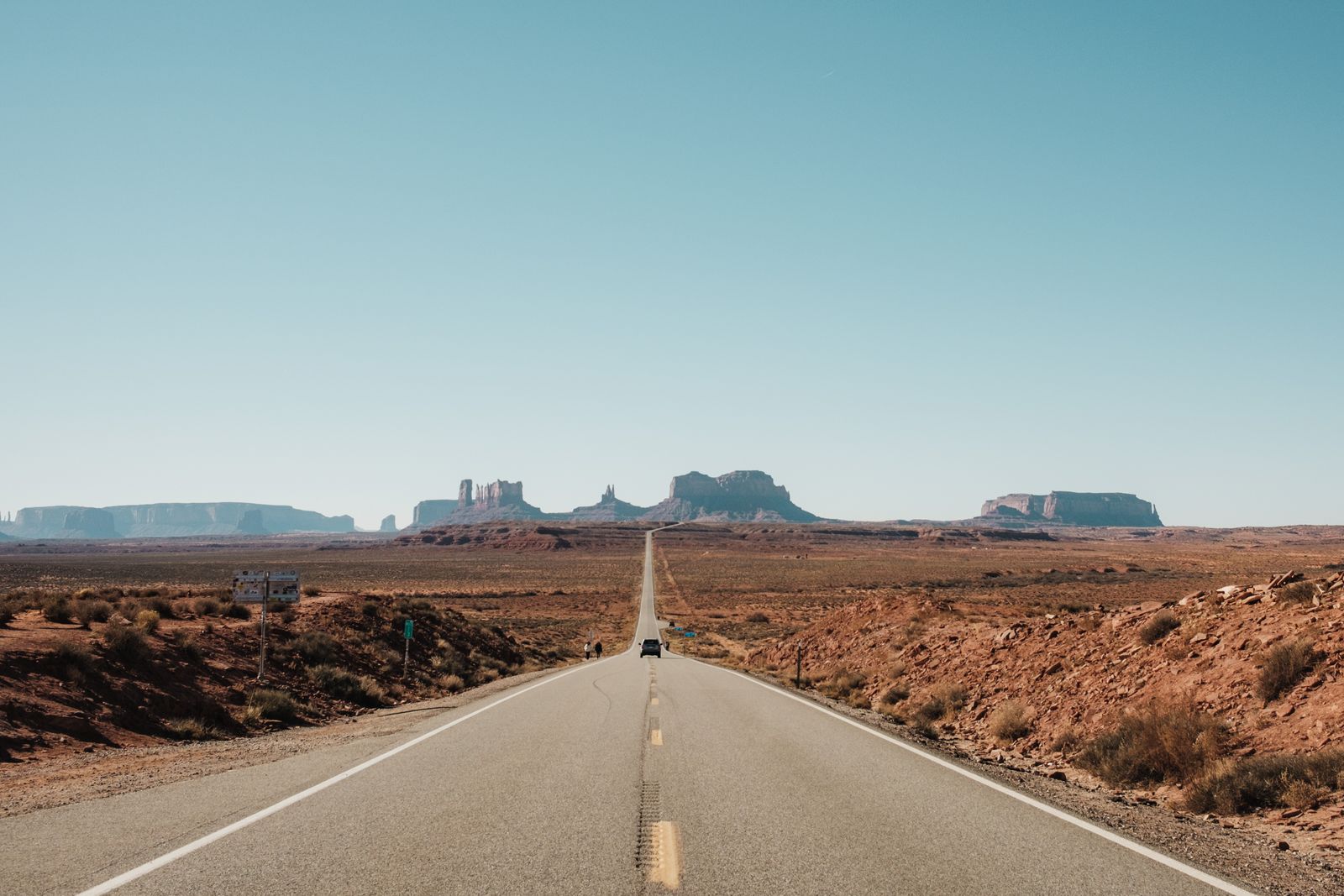
Photo: Airam Dato-on / Pexels
Public Lands Ready: The USA Offline Checklist
Check off each step as you finish it. Your progress stays on this page.
0 of 7 complete
0% done
Divide the Country: States and Corridors
The working unit of an American offline download is the state or the corridor, never the nation. Google Maps offline areas are rectangles you draw, and the honest way to draw them here is along your route: the Pacific Coast Highway corridor, the Blue Ridge and Smokies block, the Utah parks circuit, each as its own area with margin on every side for detours. Apple Maps, which gained offline maps in iOS 17, works the same way, with areas you frame on the phone. HERE WeGo takes the other approach and offers whole-state downloads, which suits a state-sized trip neatly. OsmAnd and the other OpenStreetMap apps let you download state files too, and reward drivers who want contour lines and trail data in the same app. Whichever tool you choose, the discipline is constant: the download must contain not just your route line but the towns you will detour to, the park entrances, and the way back if the road closes. Our guide to downloading offline maps teaches the mechanics; the American skill is the geography of the split. Our Canada guide fights the same scale problem one border north, province by province.
The Federal Layer: USGS Topo Sheets as GeoPDFs
Now the layer that makes this guide different. The US Geological Survey has mapped the entire country in its 7.5 minute quadrangle series, and the modern US Topo maps are free downloads as GeoPDFs, files that know where they are on the earth. Fetch them through topoView, the USGS tool for finding sheets by place, or through the National Map and its topoBuilder, which assembles custom topo maps for your area. A GeoPDF opened in a georeferenced map app, Avenza Maps is the common choice, plots your live position on the official sheet: contours, hydrography, boundaries, the works, entirely offline. This is the map for national forest trailheads, Bureau of Land Management country, river corridors, and every place where the consumer apps draw a green blank and call it wilderness. The workflow is a hotel-room job: find your quads on topoView while you have Wi-Fi, load them into the PDF map app, and confirm each sheet opens with your position dot alive on it. Federal cartography is not glamorous, and it is the best backcountry mapping in the country, published by the people who own the ground.
Forest Roads and the MVUM Habit
The second federal document is the one that keeps you legal. National forest roads are governed by the Motor Vehicle Use Map, the MVUM, an official free map, also published as georeferenced PDF, that shows which roads and trails are open to which vehicles, and when. A road that exists in your navigation app may be closed to cars, gated seasonally, or open only to vehicles under a width limit, and the MVUM is the authority that decides, not the app and not the optimistic line on a commercial map. The habit to build: for any national forest you plan to drive beyond the main highway, download that forest's MVUM alongside your topo sheets, and check your intended forest roads against it before the trip, not at the gate. Rangers enforce from this map, and so does reality: the road the MVUM closes is often the road the spring washout took. Treat the pair, topo for terrain and MVUM for permission, as the federal kit for the forest layer of any western trip especially, where a single national forest can be larger than an eastern state.
Parks, Deserts, and the Signal Map in Your Head
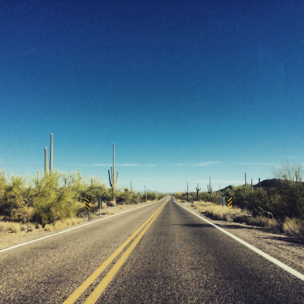
The national parks concentrate the whole problem into postcard form. Inside the famous parks, coverage is a rumor at the trailhead and a memory by the second mile: the Grand Canyon below the rim, most of Utah's canyon country, Death Valley almost entire, Yellowstone away from the developed nodes. The offline setup for a parks trip is therefore triple: the road corridor downloads for the drives between parks, the USGS quads for the parks themselves, and the park's own maps and alerts saved from the National Park Service site before you leave coverage. Desert travel adds the services discipline this site teaches everywhere, sharpened: pin the fuel, because the next station can be a hundred miles of beautiful nothing; pin the water and the ranger stations; and download with the return journey included, because desert routes are lines, not networks, and a closed line has no alternate. Our South Africa guide teaches the same services-first planning for safari country, and the resemblance is not accidental: the American West and the African bush are the two places where the map is easy and the distances are the danger.
Vehicle Profiles and the Last Ten Miles
One consumer-app setting matters more in the USA than anywhere else in this series: the vehicle profile. OsmAnd and similar apps route by profile, car, bicycle, pedestrian, and in this country also by the realities of RVs, trailers, and high-clearance vehicles on forest roads. A route that is legal and sensible for a sedan can be a trap for a long RV, and a forest road rated for high clearance will happily accept your rental car on screen and reject it at the first ledge. Set the profile to the vehicle you actually drive, download the layers that match how you will actually travel, and let the MVUM arbitrate anything the profile promises on dirt. The last ten miles of American trips, the forest road to the trailhead, the desert track to the campsite, are where offline quality is decided, and they are decided by the federal layer and the profile, not by the highway apps that got you to the state line.
East of the Mississippi: A Different Density
Everything above leans western, because that is where the federal lands and the dead zones concentrate, but the eastern half of the country runs the same system at a different density. The downloads shrink: a corridor in the East crosses a town every few miles, and signal is the default rather than the exception. The federal layer still matters, differently. The eastern national forests, the Appalachians' long green spine, the national recreation areas and the great river corridors all publish the same US Topo quads and MVUMs, and the hiker on the Appalachian Trail crosses federal and state map jurisdictions the way the western driver crosses counties. State parks, which carry more of the eastern outdoors, publish their own trail maps as PDFs that deserve the same download-and-pin treatment. The eastern failure mode is not emptiness but clutter: a dozen overlapping map sources for the same ground, and a phone full of downloads nobody organized. The corridor discipline, download by leg, pin the services, test in airplane mode, scales down gracefully. It is the same craft with shorter distances between mistakes.
The Airplane Mode Test, USA Edition
Run the exam in the motel the night before the landscape swallows your signal. Airplane mode on. Route to tomorrow's trailhead or campsite in the road app, then open the GeoPDF quad for the same ground and confirm your position dot sits on the official sheet. Check the MVUM for any forest road on the plan. Check the pins: fuel, water, the way back to pavement, the next town in both directions. If the trip crosses into a new state or corridor, confirm that download exists now, not at the border. The American version of failure is distinctive: everything works in town, the map is gorgeous, and the missing quad is the one with your canyon in it. Catch it at the motel. For the road app choices themselves, our offline map app comparison and the best offline app for trekking work through the field, and the New Zealand guide shows the same federal-layer idea wearing LINZ colors.
Seasons: Snow, Fire, and the Closure Layer
The American map has a calendar, and the offline planner ignores it at the usual price. Winter closes the high roads on a schedule the map's snapshot cannot feel: Tioga, Going-to-the-Sun, Trail Ridge, and a hundred forest roads spend months as lines on the map and walls in the world, and the opening dates move with the snowpack, not the calendar. Wildfire season writes the summer version of the same lesson across the West: closures that shift daily, smoke that redraws the map of where a view exists, and park and forest alerts that are the only honest source. The offline discipline adapts rather than argues. Download for the season you will travel in, and treat the pre-trip check, park alerts, forest orders, state road reports, read while you still have signal, as part of the download itself: the closure information is a layer, and it expires faster than any other. Build the itinerary with a closure-shaped hole already in it, an alternate valley, a lower route, a second park, so the news at the motel desk rearranges the trip instead of ending it. The map stack this guide built, road corridors, federal topo, MVUM, is the permanent skeleton. The season's closures are the weather written on it, and the traveler who reads both is the one the mountains cannot surprise cheaply.
Related Guides
Readers working through this topic usually need its closest companions too. These GPS and navigation guides cover the neighboring ground:
- Offline Maps for Canada: Province Downloads, Federal Topo Sheets, and the Long Empty Highways: The same scale problem and the same federal topo answer, one border north.
- Offline Maps for New Zealand: Topo50 Sheets, Two Islands, and the DOC Tracks: A national topo series and a conservation estate, the closest cousin to the USGS and DOC pairing here.
- Offline Maps for South Africa: Self-Drive Safaris, Tracks4Africa, and the Roads Between Parks: Services-first offline planning for the other great self-drive wilderness.
- Offline Maps for Vietnam: Three Regions, Motorbike Routes, and Mountain Dead Zones: Regional splitting at the opposite scale, a country too long rather than too wide.
- How to Download Offline Maps: The general routine this guide specializes, menu paths and storage rules included.
Frequently Asked Questions
How do I download offline maps for a USA road trip?
Work in states or corridors, never one national box. Draw Google or Apple offline areas along your route with margin for detours, or take whole-state downloads in HERE WeGo or an OpenStreetMap app, and confirm each leg and its return are covered before you leave Wi-Fi.
What are USGS topo GeoPDFs and why do I want them?
US Topo maps are the official USGS quadrangle maps, free as georeferenced PDFs through topoView and the National Map. In an app like Avenza Maps they show your live position on the official sheet, contours and all, entirely offline, covering the public lands the consumer apps draw blank.
What is an MVUM and when do I need one?
The Motor Vehicle Use Map is the Forest Service's official map of which forest roads and trails are open to which vehicles, and when. Download the MVUM for any national forest you plan to drive beyond the highway, and check your roads against it before the trip.
Does Apple Maps work offline in the USA?
Yes, since iOS 17 Apple Maps supports downloaded areas with routing and place data. Frame the areas along your route the same way you would in Google Maps, and pair them with the federal topo layer for backcountry ground.
Why does my navigation app route me onto impassable dirt roads?
Because existence is not permission or condition. Set the vehicle profile to what you actually drive, and let the MVUM and the topo sheet arbitrate forest and desert tracks before you commit to them.
Photo credits: Airam Dato-on (Pexels); Martin Alargent (Pexels). Photos are served from this site; follow the credit to the library page for the original.