City offline maps answer one question: can I still navigate without data? Trekking offline maps answer harder ones. Is that dotted line a maintained trail or a social path that fades at the scree? Where is the last reliable water? Whose land is this, and can I camp on it? And will the app still be alive on day three? The apps below are judged on the trekking axes: the layer catalog, the download workflow, track recording, and battery behavior across a multi day route. The checklist below is the pre trek audit; run it at home, because the trailhead is the worst classroom.
Home / GPS and Navigation Guides
Best Offline Map App for Trekking: Built for Days Beyond Signal
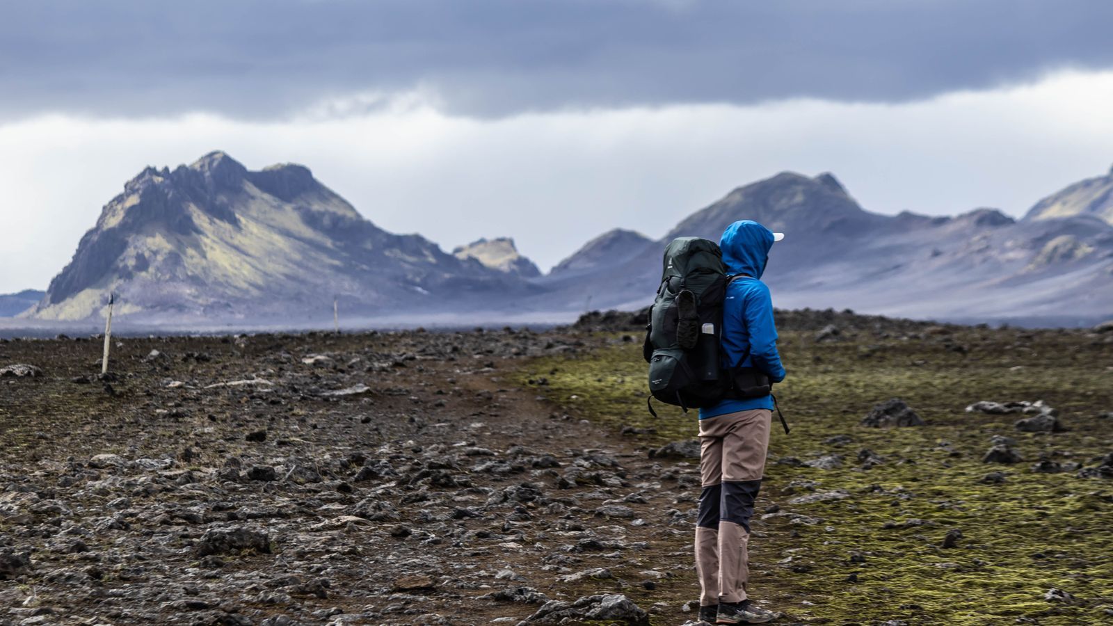
Photo: Jędrzej Koralewski / Pexels
Interactive tool
Trekking App Pick: The Pre Trek Audit
Check off each step as you finish it. Your progress stays on this page.
0 of 7 complete
0% done
The Layers Are the Product
On a road, the map is the road. On a trek, the map is a stack of evidence. Contours and terrain tell you what the day actually costs; shaded relief makes the cost readable at a glance. Trail data separates official trails from user traces, and the difference matters at every unmarked junction. Water and campsite points decide daily planning. Land boundaries decide legality: national forest, wilderness, private inholdings. Slope angle shading, where it exists, is the winter traveler's avalanche lens and the summer scrambler's steepness check. When you compare apps, compare stacks: download the same valley in two apps and read both like you will have to walk what they show.
The Field
| App | Offline layers | Strength | Watch out for | Model |
|---|---|---|---|---|
| Gaia GPS | Deepest catalog, global | Layer mixing, route planning | Subscription for the good layers | Premium roughly $59.99 per year, check current |
| CalTopo | Excellent, US strong | Planning tools, slope shading | Interface learning curve | Subscription tiers |
| onX Backcountry | Strong, US focused | Land ownership, trail content | US centric coverage | Subscription |
| Avenza Maps | Official PDF maps, georeferenced | Park and agency maps exactly as published | Per map handling | Free tier plus paid maps |
| OsmAnd | OpenStreetMap based, global | Contour plugins, total offline control | Setup complexity | Low cost, one time options |
| AllTrails | Huge trail database | Route discovery, reviews | Downloading locked behind AllTrails+ | Plus roughly $30 per year, check current |
| Organic Maps | OpenStreetMap, free | Simplicity, battery, privacy | Thin layer catalog | Free |
Gaia GPS is the catalog king: hundreds of layers, from national topographic series to satellite and land status, mixed with adjustable transparency, and a planning workflow that syncs from desktop to phone. For treks in complex terrain it is the professional default. CalTopo is the planner's tool, built by the search and rescue world: its slope angle shading and sun exposure tools are the best in the field, and its printed map workflow is unmatched if your group still carries paper. onX Backcountry owns the ownership question in the United States, with parcel boundaries and landowner data layered over solid trail content; for treks crossing mixed public and private land, that layer alone justifies it. Avenza is the official map shelf: national parks, forests, and agencies publish georeferenced PDFs, and Avenza puts your GPS dot on the exact map the ranger station sells. OsmAnd is the global open data workhorse, with downloadable contours and hillshade and total control for tinkerers. AllTrails discovers routes better than anyone and records them fine, but downloading for offline use sits behind AllTrails+, which surprises hikers at the trailhead every weekend. Organic Maps is the free minimalist: no account, kind battery manners, and a layer catalog too thin for serious route finding, but a fine backup.
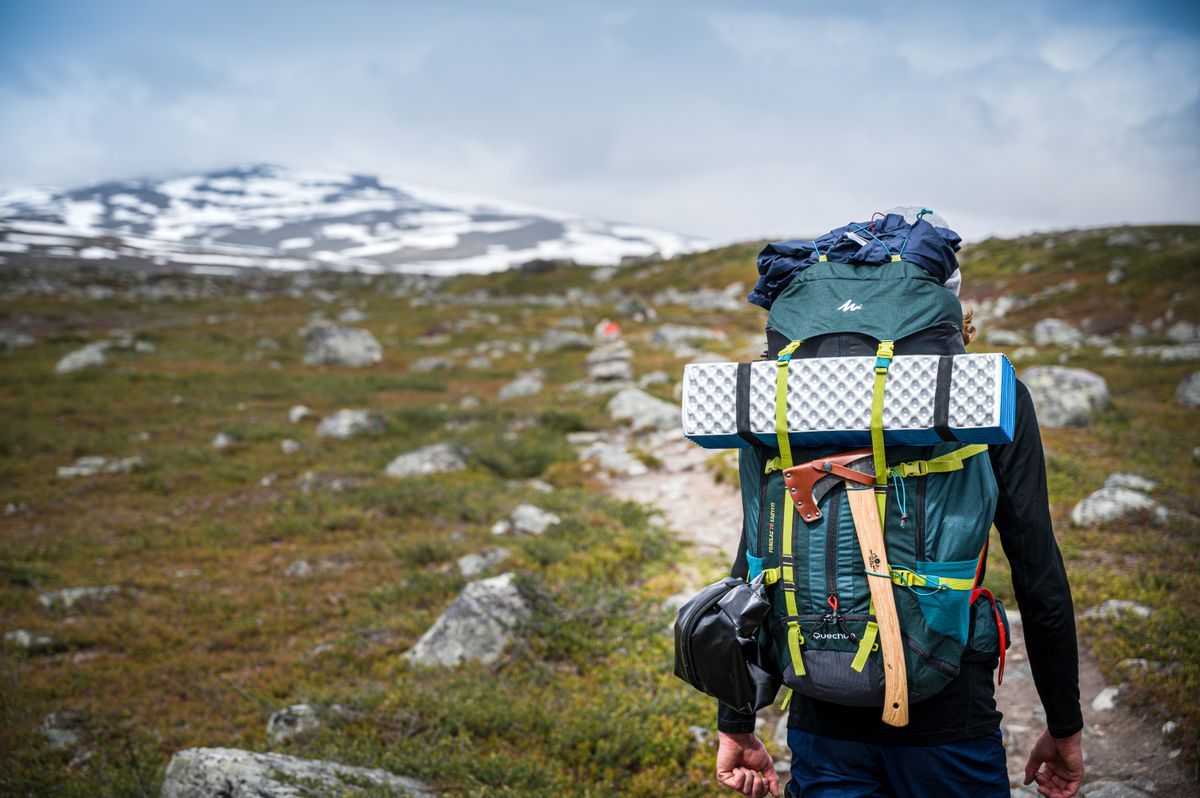
The Download Ritual and the Battery Budget
Whatever you pick, the ritual is identical. At home on Wi-Fi: download the full route corridor, not just the line, wide enough to cover a bail out descent in any direction. Open every downloaded tile at full zoom along the route, because a download you have not inspected is a rumor. Save the trailhead, water, and exit points as waypoints. Then the battery budget: a phone recording a track with the screen mostly off lasts a trek; a phone with the screen on at full brightness lasts hours. Carry the power bank the math demands, keep the phone in airplane mode with GPS on (the receiver works without the network), and let a watch or handheld take the recording load if you have one. Test the whole system on a local day hike first; multi day treks are not the place to learn your app's menu structure. The city version of these habits is in our best offline map app guide, and the trail reading skills themselves are in how to read a topographic map and how to read a contour map.
Picks by Trek
The multi day backpacker: Gaia GPS, for the layers and the planning sync. The winter traveler and planner: CalTopo, for slope shading and sun tools. The US land maze trek: onX Backcountry, for ownership. The national park loyalist: Avenza, carrying the agency's own maps. The international trekker: OsmAnd, where open data coverage beats US centric catalogs. The day hiker who wanders: AllTrails+, honestly bought before the trailhead. The minimalist: Organic Maps as the free second opinion on every phone. Two apps on a trek is not indecision; it is redundancy, the same reason you carry a paper map and know how to read a map and compass.
Planning the Route at Home: Where Treks Are Actually Won
The desktop half of trekking software is underrated by app roundups, because it does not photograph well. It is where the trek is designed: the route drawn along trails rather than straight lines, the daily distances priced against the elevation profile, the bail out options identified before they are needed. Gaia GPS and CalTopo both plan on the web and sync to the phone; CalTopo's printed map output remains the best way to put the same map on paper for the whole group. The planning pass should answer five questions before anyone packs. Where does each day end, and is there water within reach of it? Where is the last point each day to turn back whole? Which junctions are unmarked on the ground, and what does the map say the wrong fork does? What is the highest point, and what weather would make it a no go? And where does the route cross land with rules, wilderness permits, private parcels, fire restrictions? An app that helps you answer those at the kitchen table has done more for the trek than any feature it shows at the trailhead. Save the plan in the app, export the GPX, and carry the file in a second app as well; route files are small, and redundancy is cheap exactly once, at home.
When the Map Is Wrong: Field Judgment
Offline maps fail in specific, learnable ways. The trail that is not there: user contributed and legacy data includes abandoned and social trails drawn with the same line weight as maintained ones; when the ground shows no tread where the map draws a path, believe the ground and navigate by terrain until the lines reconcile. The trail that moved: switchbacks get rerouted for erosion, and downloads age; a fresh GPX from a recent trip report beats an old base layer. The water that is not: seasonal sources are marked with the same droplet as perennial ones; plan water by the map, confirm it by the season and recent reports, and carry the capacity to skip one source. The boundary that moved: land status layers lag sales and easements; posted signs on the ground outrank the app's colors, always. None of this argues against the apps; it argues for carrying the reading skills alongside them, which is why this site pairs every app guide with how to read a topographic map and the map and compass workflow.
Seasons and Regions: The Catalog's Fine Print
Layer catalogs are not geographically neutral, and treks expose it. The deepest topographic archives in Gaia GPS and CalTopo are North American, built on USGS and Canadian survey heritage; European trekkers often find national mapping, the Alpine clubs' data, and OpenStreetMap based apps richer for their ground, which pushes OsmAnd and local champions up the ranking. Winter rewrites the ranking again around one layer: slope angle shading, where CalTopo's implementation is the reference and Gaia's is close behind, while the free tier of nearly everything omits it. Desert treks elevate water data and land status over contours; jungle treks elevate recent track reports over everything, because vegetation rewrites trails faster than any survey. The meta lesson matches the rest of this site: choose the app for the terrain in front of you, not the terrain in the reviewer's photographs, and re run the choice when the continent changes. The best hiking map app guide covers the day hike version of the same judgment, and the skills shelf, how to read a topographic map first among equals, travels to every continent unchanged.
Related Guides
This guide does not stand alone. The GPS and navigation guides below take up the questions it leads into:
- Best Offline Map App for Australia: Outback-Ready Picks by Trip Type: Australia is where online maps go to die: hundreds of kilometers between towns, vast no-signal stretches in the outback, and tracks that exist on...
- Best Offline Map App for India: Mappls, Google, and the OSM Apps Compared: India rewards a local map. Mappls, built by MapMyIndia, maps the country's addresses, places, and roads as its home market, offers offline maps of...
- Best Offline Map App for iPhone: The Free Tier Truth Table and Picks by Traveler Type: iPhone offline roundups list the same apps with the same praise and whisper the limits: Apple Maps offline is driving first, Google areas lapse if...
Frequently Asked Questions
What is the best free offline map app for trekking?
Organic Maps is the strongest free option: fully offline, no account, and gentle on the battery. Its weakness is a thin layer catalog, with no slope shading or ownership data. OsmAnd's free tier and Avenza's free map allowance cover many treks too. For multi day routes in serious terrain, the subscription layers in Gaia GPS or CalTopo earn their cost.
Do I need contours, or is a basic trail map enough?
For anything beyond a marked day trail, you need contours. They are how you price a day's climbing, spot the pass, and choose a bail out line, and they are the layer that keeps working when trail data is wrong. Our contour map guide teaches the reading skill in one sitting.
How much storage does an offline trekking map take?
A single trek corridor with contours and hillshade usually runs from tens to a few hundred megabytes, depending on area and zoom depth. Whole states or countries run to gigabytes. Download the corridor, not the continent, and inspect it at full zoom before you leave.
Will my phone GPS work in airplane mode on a trek?
Yes. The GPS receiver is independent of the cellular network, so airplane mode with location services on gives you full positioning with far better battery life. Assisted GPS may take longer for the first fix without network help, so get the first fix at the trailhead while you still have signal.
Should I still carry a paper map?
Yes, for any trek where a dead phone becomes an emergency. Paper plus a baseplate compass weighs little, never runs out of battery, and the skills transfer directly from the apps. The full two tool workflow is in our guide to how to read a map and compass.
Photo credits: Jędrzej Koralewski (Pexels); Leonard Aldenhoff (Pexels). Photos are served from this site; follow the credit to the library page for the original.