India is the other great test of map apps, for the opposite reason from the outback: not emptiness, but density. Addresses are informal, landmarks outrank street names, lanes and localities share names, and a global app's tidy model of addressing meets a country that navigates by reference points. Layer on patchy rural coverage and long train-and-highway days, and offline capability stops being a backup and becomes the plan. India also has something rare: a strong domestic champion. Mappls, from MapMyIndia, the company that has mapped India professionally for decades, builds for this market first. This guide compares it honestly with Google Maps and the OpenStreetMap apps, because the best offline map app for India depends on whether your India is five-star city breaks, national highways, or small towns and villages.
Home / GPS and Navigation Guides
Best Offline Map App for India: Mappls, Google, and the OSM Apps Compared
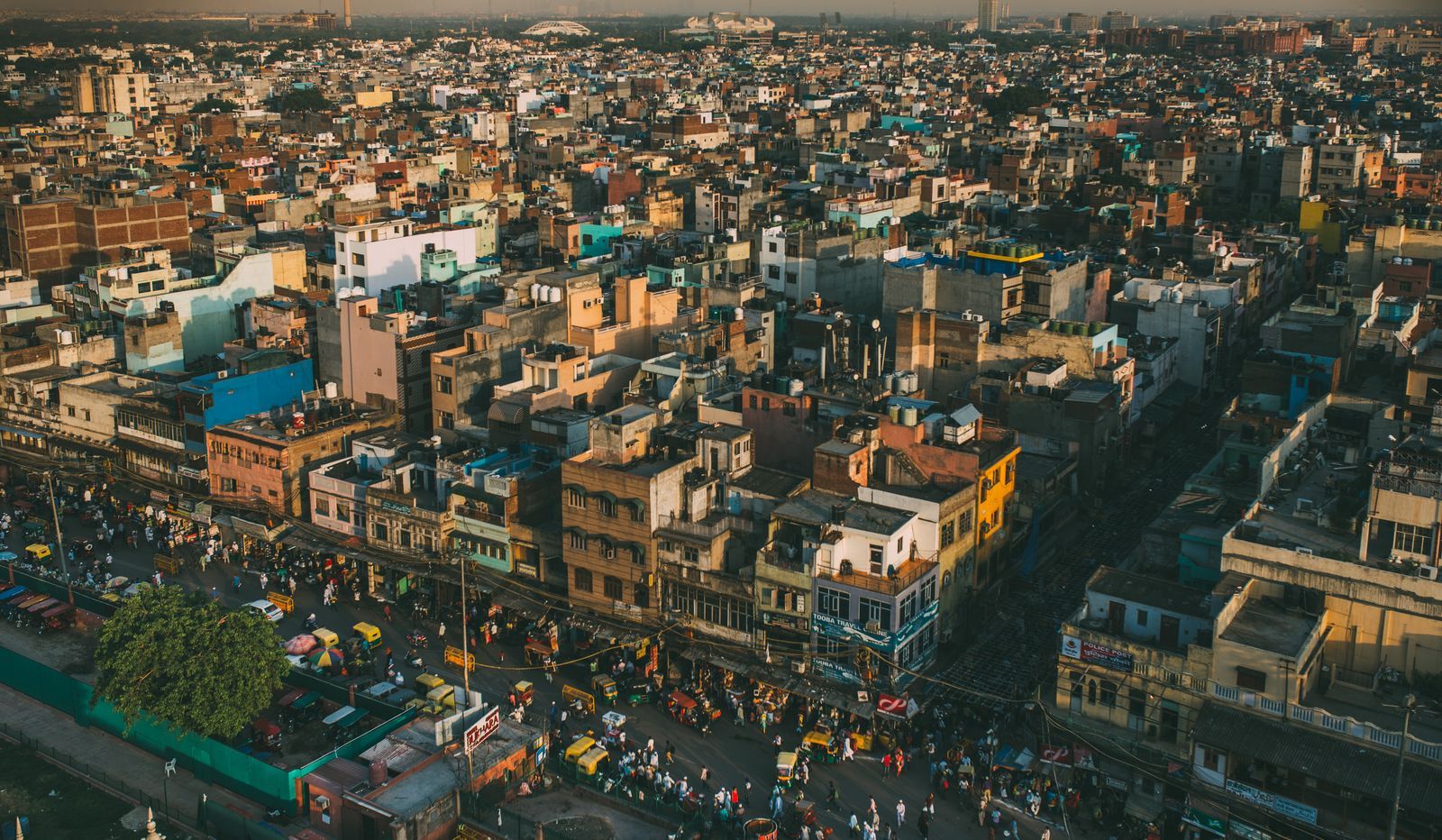
Photo: Mohit Hambiria / Pexels
The Three-India Stack: The Offline Checklist
Check off each step as you finish it. Your progress stays on this page.
0 of 8 complete
0% done
Why India Rewards a Local Map
Three Indian realities shape the comparison. First, addressing: a huge share of real destinations are best described by locality, landmark, and local name rather than a formal street address, and a map database built in India, by teams who collect Indian places as their primary job, simply knows more of them, including the small businesses, clinics, and offices that never enter global databases. Second, language and naming: places carry multiple names across English, Hindi, and regional languages and scripts, and local apps handle the aliases natively. Third, connectivity: metro coverage is strong, but long highway stretches, hill regions, and rural districts still drop signal for extended periods, so downloaded maps earn their storage on any intercity trip. Keep those three in mind and the verdicts below mostly explain themselves.
Mappls: The Home-Team Option
Mappls is MapMyIndia's consumer app, and its pitch is depth at home. Its database of Indian places, addresses, and roads is its reason to exist, and it shows in local search: the neighborhood business, the government office, the small-town destination are likelier to be present and correctly placed than in a global app. For offline use, Mappls offers downloadable maps of India for navigation without a connection, which is the feature this guide exists for, and its navigation is tuned to Indian roads and driving conventions. MapMyIndia's offline navigation pedigree runs through its NaviMaps product, which built its name on whole-India offline navigation, and that heritage matters: this is a company whose core business has always been Indian map data, licensed to carmakers and enterprises, with the consumer app as the front door. The trade-offs are polish and ecosystem: the app experience is less refined than Google's, its review and photo layer is thinner, and outside India it has nothing to say. Inside India, for finding and reaching Indian places offline, it is the specialist to beat.
Google Maps Offline: What You Already Have
Google Maps is the app most visitors arrive with, and in Indian metros it is genuinely strong: dense place data for restaurants and chains, live traffic that understands Indian city congestion, and transit directions in the big cities. Its offline mode downloads chosen areas for driving navigation without signal, which covers a city break or a single corridor well. The limits are the familiar ones from our offline maps guide: areas are downloaded piecemeal, so a multi-state journey means managing many rectangles; walking and transit directions do not come along offline; and place search offline only knows what the download contains. In the metros, none of that may matter. On a Delhi to Jaipur to Agra run with rural stretches, or anywhere in the hills, the piecemeal model starts to creak, and a whole-country offline option earns its place beside Google rather than replacing it. Most travelers should run both: Google for city life and live traffic, a true offline app for the spaces between.
The OpenStreetMap Apps for Deep Offline
OsmAnd and Organic Maps download Indian states or the whole country from OpenStreetMap data and navigate entirely offline, free. India's OpenStreetMap coverage is strong in cities and along main roads, thinner in some rural areas, and it improves constantly; for highway driving and town-to-town travel it is a dependable spine, and for trekkers OsmAnd adds contour lines and track tools the others lack. These apps are also the privacy-clean option, no account, no tracking, which some travelers value on principle. Their weakness is the mirror of Mappls' strength: local place depth. The informal, landmark-based destination that Mappls or a local would know may simply not exist in OpenStreetMap, so searching by address in small-town India can fail where the home-team app succeeds. Use the OSM apps as the always-works navigation layer, and a local database for finding things.
Which One to Land With
By traveler: the city visitor, Delhi, Mumbai, Bengaluru, stays happiest with Google Maps plus downloaded areas for each city, adding nothing unless itineraries leave the metros. The highway and multi-state driver should install Mappls for its whole-India offline maps and local place depth, keeping Google for traffic in the cities at either end. The explorer headed for small towns, hills, and villages should run Mappls and OsmAnd together, local knowledge for finding, OpenStreetMap for routing, both fully downloaded before leaving metro coverage. Whichever stack you choose, do the unglamorous setup while you have hotel Wi-Fi: download the regions, save the hotels and key destinations as favorites in every app, and test once in airplane mode. India's maps reward the traveler who treats the local champion as a first-class option instead of a curiosity, and punish, gently but daily, the one who assumes the global default is the whole story.
Addresses, Landmarks, and the Last Five Hundred Meters
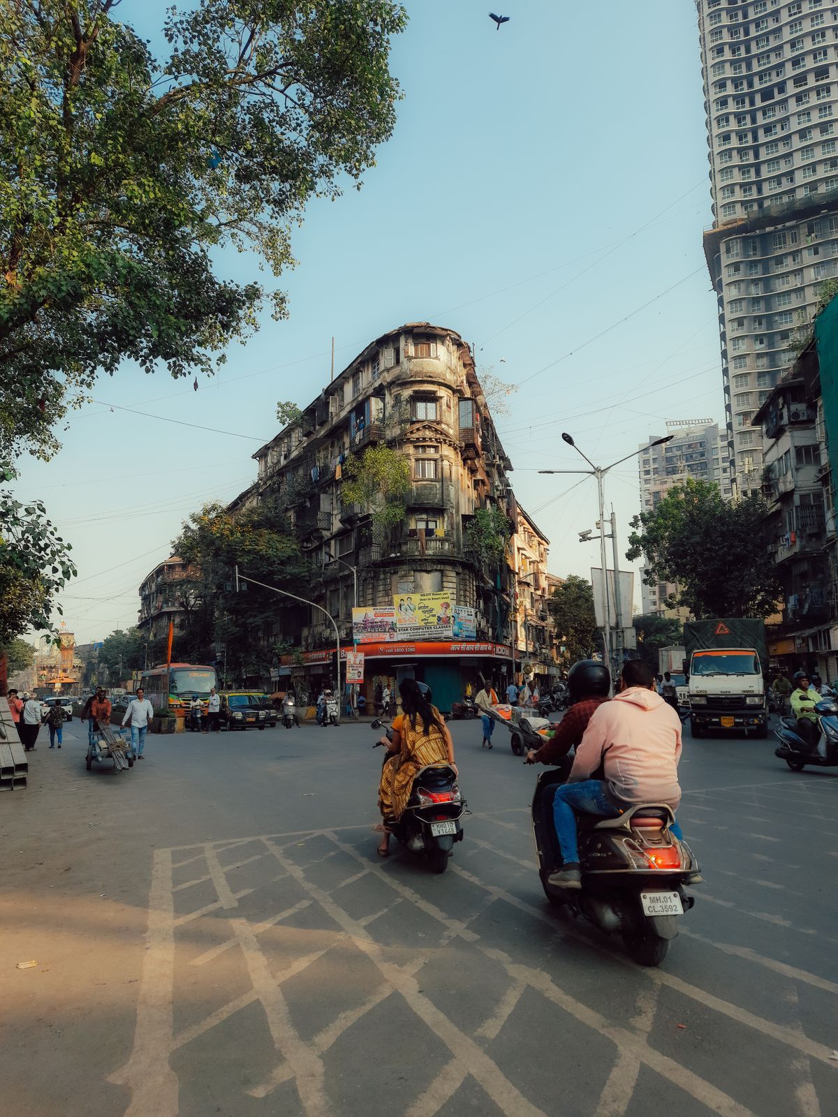
India's navigation challenge concentrates at the end of the trip, and a section of honest tactics is worth more than another app comparison. Indian destinations are routinely specified as a layering of area, landmark, and proximity: a shop is "in Karol Bagh, near the metro pillar," an office "behind the city mall, second lane." The local apps, Mappls foremost, encode more of this landmark fabric than global databases do, which is one reason their search succeeds where a pasted formal address fails. Work with the grain of the system: search by the landmark first and navigate to it, then close the final distance by the local description, or drop a pin from a satellite view once you can see the destination's roof. Save pins aggressively: the hotel, the meeting point, the driver's suggested pickup, because a pin is an address that never gets lost in translation, spelling, or script. When sending your location to an Indian driver or host, send it from the app they use, or as a pin with a landmark note, not as a street address in a format their map reads differently. And in the hills and small towns, where every database thins, the oldest layer still functions: people. A saved offline map gets you to the right neighborhood in any app on this page; the last five hundred meters in India have always belonged to asking, and the good traveler treats that as a feature of the system rather than its failure. Choose the stack for the ninety-nine percent, and navigate the final percent the way India itself does.
Trains, Highways, and the Long Middle of India
One more Indian pattern deserves its own advice, because it decides which app earns the phone's home screen on intercity days. India's long-distance travel runs on rails and national highways, and the two reward different tools. On the highways, the contest is about exits, fuel, food, and the state of the road ahead: Google's live layer is strong where signal holds, while Mappls and the OSM apps carry the route through the dead stretches between towns, which on some corridors are most of the journey. On the rails, the map's job changes entirely: you are not steering, so the valuable features are station locations, the geography of the corridor you are crossing, and above all the arrival city's offline map waiting at the far end, downloaded before the train left the last covered district. Travelers who treat the train as a tunnel between two offline maps, the departure city's and the arrival's, arrive oriented instead of blinking. The through-line of this whole guide is that India is not one navigation problem but three, the metro, the corridor, and the small town, wearing one name. The best offline map app for India is therefore a small stack, chosen on purpose: a local champion for finding, a global layer for live cities, an open map for the spaces between, all of it downloaded before the journey argues otherwise.
One more preparation separates smooth trips from improvised ones: rehearse the handover. India's connectivity does not fade politely at a city limit; it drops in specific, repeatable places, in rail cuttings, in the folds of the ghats, inside the concrete cores of malls and stations. The traveler who has already switched the phone to the offline app at the hotel, confirmed the route exists there, and returned to the live app for the city's traffic, has rehearsed the exact moment that strands other people. Treat the first day in each new region as the test the rest of the trip grades against: if the stack works in the arrival hour, it works for the week. If it does not, you are still somewhere with signal, a café, and time to fix it, which is the only place a navigation system should ever be debugged.
Related Guides
If this page answered part of the question, these GPS and navigation guides cover the rest of the same ground:
- Best Offline Map App for Australia: Outback-Ready Picks by Trip Type: Australia is where online maps go to die: hundreds of kilometers between towns, vast no-signal stretches in the outback, and tracks that exist on...
- Best Offline Map App for iPhone: The Free Tier Truth Table and Picks by Traveler Type: iPhone offline roundups list the same apps with the same praise and whisper the limits: Apple Maps offline is driving first, Google areas lapse if...
- Best Offline Maps for Japan: The Apps That Carry the Whole Country: Japan breaks the traveler's usual offline routine, because the Google Maps offline download that works almost everywhere else is not offered there.
Frequently Asked Questions
What is the best offline map app for India overall?
Mappls, by MapMyIndia, is the strongest India-first choice: a deep local database of places and addresses plus downloadable offline maps of India. Pair it with Google Maps for metro traffic and reviews, and with OsmAnd if you want a free OpenStreetMap navigation layer.
Does Google Maps work offline in India?
Yes, for driving, inside areas you download in advance. Downloads are piecemeal rectangles rather than whole states, and offline areas do not include transit or walking directions, so multi-state trips take management. It is a good city tool and a partial intercity one.
What is Mappls, and is it the same as MapMyIndia?
MapMyIndia is the Indian mapping company; Mappls is its consumer map app. The company's offline navigation heritage includes NaviMaps, known for whole-India offline navigation, and its data business supplies Indian carmakers and enterprises.
Are OpenStreetMap apps good enough for India?
For navigation, largely yes: OsmAnd and Organic Maps download states or the whole country and route fully offline, with strong city and highway coverage. Their weakness is local place depth, the informal destinations Mappls knows better.
Should I download maps for India before I go?
Yes. Metro signal is strong, but highways, hills, and rural districts drop coverage for long stretches. Download your regions in every app you carry while you have reliable Wi-Fi, and test in airplane mode before you need it.
Photo credits: Mohit Hambiria (Pexels); Keith Lobo (Pexels). Photos are served from this site; follow the credit to the library page for the original.