Every experienced traveler has the same ritual before a flight: download the destination in Google Maps. Japan is where the ritual fails. The offline download option that works across most of the world is not offered in Japan, a restriction widely reported as a licensing matter, and travelers discover it at the worst moment, standing in an arrival hall with a phone that has a map it cannot keep. The good news is that Japan, of all countries, rewards the alternatives. Its open map data is superb, its rail network is the real navigation problem, and the apps built for both are excellent. This guide builds the stack that replaces the missing download. For the wider question of which map app deserves your home screen in Japan, connection and all, see our companion guide to the best map app for Japan; this article is specifically about traveling there offline.
Home / GPS and Navigation Guides
Best Offline Maps for Japan: The Apps That Carry the Whole Country

Photo: Tony Wu / Pexels
Build the Stack at Home: The Japan Offline Checklist
Check off each step as you finish it. Your progress stays on this page.
0 of 8 complete
0% done
The Google Maps Gap, Stated Plainly
Open Google Maps in Japan, or aim an offline download at a Japanese city from home, and the familiar option is simply absent: no rectangle, no city download, no offline area. The map itself works fine with a connection, and Google Maps remains a strong live tool in Japan, with good transit and business data. But a live tool is a rented tool, and it deserts you in the places Japan specializes in: mountain rail lines, rural roads, underground station complexes, and any day your travel data runs out or your eSIM misbehaves. Reports attribute the missing download to licensing restrictions on the underlying map data, and whatever the cause, the practical conclusion is the same and worth planning around rather than resenting: in Japan, your offline map will come from somewhere else. That somewhere else turns out to be a strength. The alternatives below are built on OpenStreetMap data, and Japan's volunteer mapping community is one of the most thorough on earth, which means the offline map you end up with is detailed in the places it matters, down to footpaths, station entrances, and the minor roads of small towns.
Organic Maps and Maps.me: Download the Country by Region
The core of the offline stack is one of the two OpenStreetMap travel apps, Organic Maps or Maps.me, close relatives with the same essential offer: real offline maps, downloaded by region, with search, routing, and bookmarks that all work in airplane mode. Japan downloads as a set of regional maps rather than one file, so the setup is a small shopping trip through the download list: pull the regions your itinerary touches, Tokyo's region, Kansai for Kyoto and Osaka, and every region a train or road day crosses, plus the regions of any side trips you are even considering. Storage is modest and regret is asymmetric: the region you skipped is the one the weather will send you to. Both apps route offline for driving, cycling, and walking, and in Japan the walking routing earns special respect, because so much of a Japanese trip happens on foot between stations. Organic Maps is the cleaner, tracker-free descendant of the pair; Maps.me is the older name with a thicker layer of commercial extras. Either carries the country. Set yours up at home, download the regions, and then do the test that separates a setup from a hope: airplane mode on, hotel searched, station routed to, bookmark placed, all before you have left your own Wi-Fi.
Japan Travel by NAVITIME: The Rail Brain
In Japan the map is only half the navigation problem; the other half is the railway, a network so dense and so punctual that the real question is rarely where something is but which train, platform, and exit gets you there. The Japan Travel app by NAVITIME is built for exactly that question and aimed at visitors: route search across the rail network, station information, and trip planning that understands the difference between the train you can catch and the one you should. Treat it as the transit brain alongside your offline map's geographic one. The honest division of labor is this: the offline map owns the ground, streets, paths, countryside, the last kilometer on foot; NAVITIME owns the network, the connections that carry you between cities and across them. Some of its features want a connection, so the offline discipline is to plan the rail day while you have one, at breakfast, on the hotel Wi-Fi, and screenshot or note the chosen trains, platforms, and exits, so the plan survives the tunnels. Japan's stations are cities in themselves, and the exit you choose can differ by ten minutes of walking; a plan made calmly in the morning beats a search made underground at rush hour with the battery at nine percent.
Finding Places in a Country Without Street Addresses
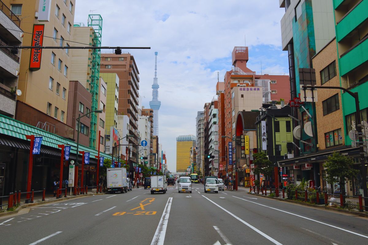
Japan adds one more twist that offline travelers must learn early: the address system is not built on streets. Most streets have no names, and addresses are organized by nested areas, district, block, and building number, in an order that reflects history more than geography. A written address, faithfully typed, can leave a map app circling the right neighborhood while the building hides two lanes away. The working traveler's countermeasures are simple and they are all offline-friendly. Navigate to stations, landmarks, and named places rather than raw addresses whenever you can; a hotel's nearest station exit is a more reliable target than its postal address. Save every important place as a bookmark in your offline app before the trip, while finding it is easy, so that on the ground you are navigating to a pin you placed, not searching under pressure. Keep the Japanese name of key places in your notes alongside the English one, because searching in Japanese script, copied and pasted, succeeds where romanized guesses fail, and station staff can read a Japanese name at a glance. And when a local offers directions, expect them to be given in the local grammar, from the station, past the convenience store, second lane after the shrine, which is not quaintness but the system working as designed.
The Pre-Flight Checklist That Makes It All Real
Everything in this guide converges on a twenty-minute routine at home. Install Organic Maps or Maps.me and download every Japanese region your trip might touch. Install Japan Travel by NAVITIME and learn its route search on a journey you already know. Bookmark, in the offline app, your hotels, arrival and departure stations, and every sight you would be sad to miss, each with its Japanese name in the note. Screenshot the first day's rail plan. Then switch the phone to airplane mode and rehearse: find the hotel, route to the station, open a bookmark, all with no connection. If the rehearsal passes in your kitchen, it will pass in Kyoto. Travelers who prefer a second engine can add the whole-country approach from other apps as a spare, and our general guide to downloading offline maps covers the rectangle craft that serves everywhere Google does offer downloads. Japan simply asks you to build the same resilience from different parts, and rewards you with offline maps good enough that many visitors keep using them long after the flight home.
Rural Japan: Where the Stack Proves Itself
The cities test an offline setup politely; the countryside examines it. Japan's rural regions, the mountain villages of the Alps, the peninsulas of Tohoku, the islands of the Seto Inland Sea, combine thin data signals with the country's most rewarding travel, and they add one more variable: the car. A rural road trip is where the offline map graduates from backup to primary instrument, and two preparations matter there beyond the city routine. Download the regions along your whole route, not just around your destinations, because a road trip's map needs are a corridor, and the interesting detour, the gorge, the shrine, the coastal road, always lies in the corridor's unglamorous middle. And learn your rental car's relationship with your phone before the first tunnel: Japanese rental cars come with their own navigation systems, often excellent and often Japanese-only in their menus, so decide at the rental counter whether the car or your offline app is the navigator, and set the loser to silent. Ferries deserve a sentence of their own: island routes are where timetables, not roads, govern the day, and the plan made on morning Wi-Fi, sailing times screenshotted alongside the rail plan, is the one that survives the harbor. None of this is hardship. It is the ordinary craft of traveling a country whose infrastructure is superb and whose geography is serious, and the traveler who builds the stack at home gets to spend the countryside looking at it instead of at a searching spinner.
The Night-Before Routine, Compressed
Everything in this article compresses into ten minutes the night before a travel day, and the routine is worth stating as one because routines are what survive tired evenings in hotel rooms. On the room's Wi-Fi: download or refresh the map regions for tomorrow's ground, in the community app and the whole-country app both. Route tomorrow's journeys in the planning apps while the connection is fast, and save them. Screenshot the results, the platform changes, the station names in Japanese, the hotel's address for the taxi driver. Check the downloads open in airplane mode, once, deliberately, because the only honest test of an offline stack is offline. Charge everything. That is the whole system, and it is boring in the way that all reliable travel craft is boring: the adventure is meant to happen out there, in the country, not in a station at midnight negotiations with a dead connection. Build the routine on the first night and Japan, the most navigable country on earth once its one quirk is respected, opens like a book.
Related Guides
This guide does not stand alone. The GPS and navigation guides below take up the questions it leads into:
- Offline Maps With Leaflet: Tile Folders, MBTiles, and Cache-First Patterns That Actually Work Offline: Making a Leaflet map work without a network is not a setting; it is a decision about where the tiles live.
- Offline Maps for the UAE: Dubai and Abu Dhabi Without a Signal: The UAE looks like the easiest driving country on earth until your route leaves the city grid: desert highways between emirates, roaming charges...
- onX Offline Maps: How to Save, Download, and Actually Go Offline: onX offline maps have two steps that most failed downloads skip: a map must be saved to your account and then downloaded to the device, and onX's...
- Offline Maps for Vietnam: Three Regions, Motorbike Routes, and Mountain Dead Zones: another Asia trip planned region by region
Frequently Asked Questions
Why can't I download Google Maps offline for Japan?
The offline download feature is not offered in Japan, a restriction widely reported as a licensing matter. Google Maps still works normally with a connection, but for offline use you need an app built on other data, such as the OpenStreetMap-based apps in this guide.
Which offline map app is best for Japan?
Organic Maps and Maps.me both carry Japan well, with downloadable regional maps, offline search, and walking, cycling, and driving routing. Download every region your itinerary touches before you fly, and test the setup in airplane mode at home.
How do I handle trains offline in Japan?
Use Japan Travel by NAVITIME as your rail planner, and make the plan while you have a connection: choose trains, platforms, and station exits in the morning and save screenshots or notes. Your offline map then handles the walking legs at each end.
Why is my hotel's address hard to find on the map?
Japanese addresses are organized by district, block, and building number rather than named streets, so a typed address can land you in the right neighborhood but the wrong lane. Navigate by station, landmark, or a bookmark you placed in advance, and keep the Japanese name of the place in your notes.
Is OpenStreetMap data good enough in Japan?
Yes. Japan's mapping community is exceptionally thorough, and the data behind Organic Maps and Maps.me covers footpaths, station entrances, and small-town roads in detail. For most visitors it is fully sufficient as the offline foundation of the trip.
Photo credits: Tony Wu (Pexels); Bruna Santos (Pexels). Photos are served from this site; follow the credit to the library page for the original.