Every offline map failure has the same biography. The hunter, rider, or hiker saved a map at home, drove beyond the last cell tower, opened onX, and watched a blurry basemap refuse to sharpen. The map was saved. It was never downloaded. onX's system has two distinct states, saved to your account and downloaded to your device, and the app even draws the difference on the map tile: a saved area outlined with a red and white border and a download icon is not on your phone yet. This guide, built from onX's own support documentation, teaches the two-step workflow properly, across the Hunt, Offroad, Backcountry, and Fish apps, so the map you think you packed is the map you actually have.
Home / GPS and Navigation Guides
onX Offline Maps: How to Save, Download, and Actually Go Offline
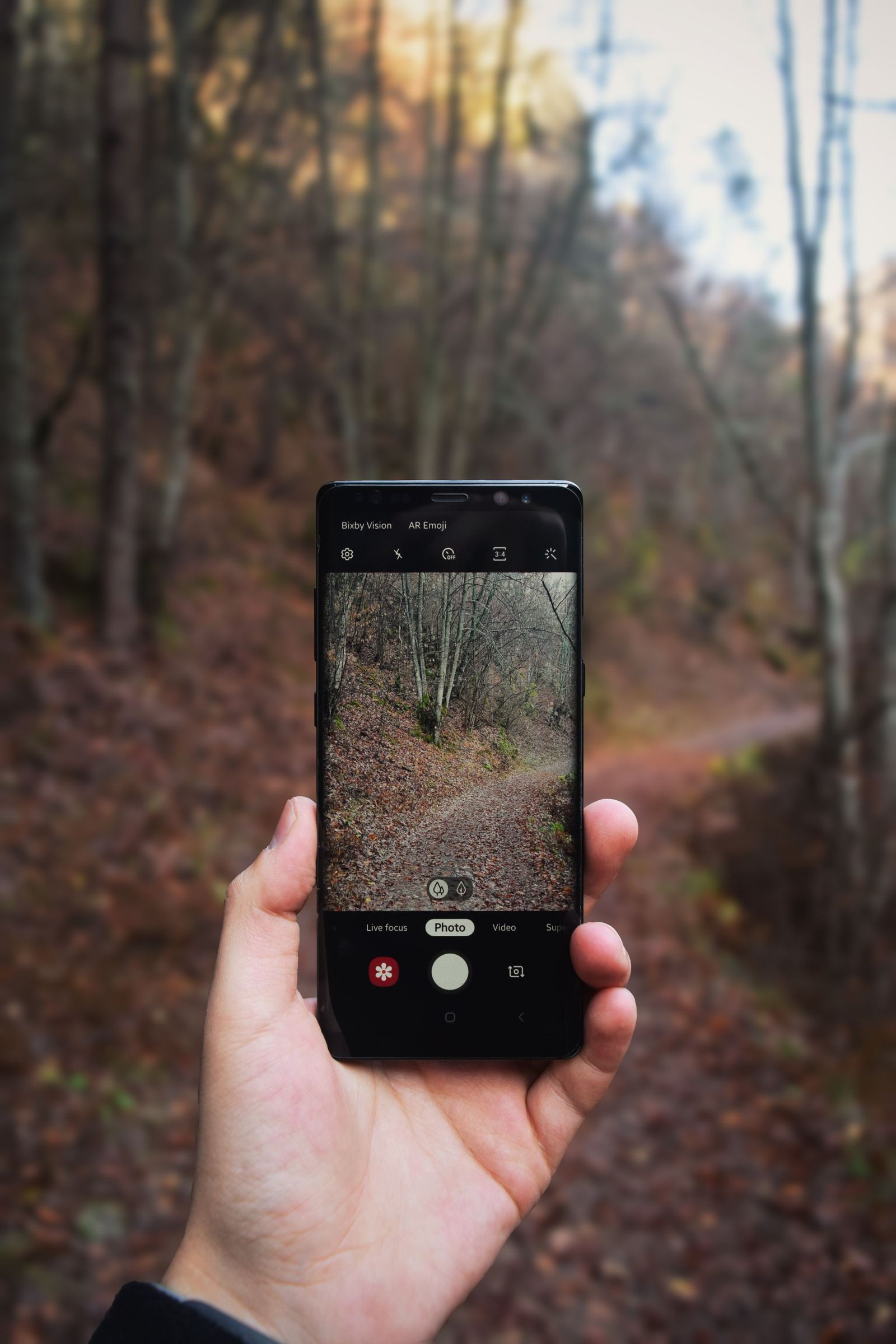
Photo: Delcho Dichev / Pexels
Interactive tool
Offline in onX: The Download Checklist
Check off each step as you finish it. Your progress stays on this page.
0 of 6 complete
0% done
Step Zero: Understand the Two States
An onX offline map begins life in your account. When you save a map, onX stores its definition, the area, the basemap, the layers, in your account, where it is available to your devices. Downloading is the second, separate act: the app pulls the actual imagery and data down onto this phone or tablet, where it can be read with no network at all. The distinction exists for good reasons. You can plan and save a dozen areas on the big screen at home without filling your phone, then download only this weekend's area to the device. But the distinction is also the trap, because a saved map looks finished in your map list. onX marks the difference visually: an area still needing download shows the red and white border and a download icon. Learn to read that marking the way you read a fuel gauge, and check it before every trip, because downloads can also be removed by the system or the app when storage runs tight.
Saving a Map in the App
In the onX apps, the offline workflow starts from the Offline Maps menu. You frame the area you need, panning and zooming until the rectangle covers your ground with margin to spare, because the trail you detour onto never respects the edge you drew at the kitchen table. Then you choose a detail level, name the map, and save. Detail is the decision that matters most, and onX offers three levels. Low detail covers the most ground per megabyte and reads fine for roads and big terrain. Medium is the working compromise most users should default to. High detail carries the sharpest imagery and the heaviest files, suited to small areas where you will navigate on foot by what the imagery shows. The Offroad documentation states a hard limit worth knowing: a single offline map can be up to 3 GB. If your chosen area at your chosen detail exceeds what the app allows, shrink the area or step the detail down; fighting the limit by saving overlapping tiles wastes exactly the storage you were budgeting.
Saving From the Web Map, Downloading on the Device
The most comfortable planning setup uses both screens. In the onX Web Map on your computer, you can save offline maps with the big monitor doing the framing work: the same account, the same Offline Maps concept, larger view, easier naming. Those saved maps then appear in the app on your phone, where the download step happens, because only the device can hold the device copy. This division of labor is the intended workflow for serious trips: plan wide on the desktop, download deliberately on the phone, and use the phone's offline list as the packing checklist. It also gives you a natural audit moment. If a map you saved on the web is missing from the phone's list, you are not signed into the same account on both, which is the second most common cause of field failures after the saved-versus-downloaded confusion.
The Download Itself: Where Trips Are Won
Download on Wi-Fi, with the phone awake and the app open, and let it finish. Large high-detail areas are gigabytes of imagery; a download interrupted by a locked screen, a dead battery, or a walk out of Wi-Fi range can leave a partial map that looks complete in the list. After downloading, open the map in the app and zoom into the far corners of your area, the trailhead, the far ridge, the extraction road. The tiles should render crisply from the local copy. Then check the offline list's state icons one more time: downloaded maps show as on-device, and the red and white border should be gone. This two-minute inspection, done at home, is the entire difference between the users who trust offline mode and the users who write angry reviews from a trailhead with one bar of signal.
Going Offline on Purpose: The Toggle and the Test
When the trip starts, do not wait for the network to fail; switch deliberately. onX provides an offline mode, the Go Offline or "Only use offline maps" setting in the app's settings, which tells the app to work from downloaded maps only. Turning it on at the trailhead does two things: it stops the app from stalling on network retries in marginal coverage, which is where battery and patience die, and it proves immediately, while you still have options, that your downloads cover where you are standing. Then run the full test once at home before the season: airplane mode on, offline mode on, open your saved area, and navigate its corners. If anything renders as a blur or a blank, you have found the gap at the only moment it costs nothing. Our broader guide to offline maps covers the same discipline across apps; onX's two-state system simply makes the test more specific, because you are testing a download, not a hope.
Layers, Basemaps, and What Travels With the Map
An offline map is not just a picture of the ground. When you save, you choose the basemap, and the layers available in your app and membership, things like property boundaries and landowner data in Hunt, trail systems in Offroad and Backcountry, government land designations, waypoints, tracks, and your own markups, are part of what the offline map serves when you open it in the field. The practical rule is to assemble the map you need while you are online and looking at it: set the basemap you navigate by, turn on the layers the trip depends on, save and download in that state, and verify in the airplane mode test that the layers you expected are present and legible at field zooms. Waypoints and tracks you create are your own data and sync through your account; creating them before the trip, on the big screen, is easier than creating them with gloves on. Treat the offline map as a packed bag: what is not in it when you leave coverage does not exist until you return.
Storage Budgeting and Map Hygiene
Offline maps compete with photos, music, and the operating system for a finite phone. Budget deliberately. A season's worth of high-detail hunting areas can reach tens of gigabytes; a single weekend area at medium detail is usually a fraction of that. The hygiene habits that keep the system healthy are boring and effective: name maps by place and date so the list reads like an itinerary; delete last season's areas after the trip, since re-downloading fresh copies next season also refreshes the underlying data; keep one level of detail as your default so sizes stay predictable; and before any trip, look at the phone's free storage the way you look at the fuel gauge, because a download that fails at 98 percent full fails completely. Users who treat offline maps as permanent possessions end up with a stale, bloated library. Users who treat them as provisions, packed per trip and cleared after, never meet the trailhead blur.
Troubleshooting the Classic Failures
When an offline map fails in the field, the cause is almost always one of four. The map was saved but never downloaded, the red and white border case; if any signal exists, download it on the spot, and if not, navigate by what did download and fix the checklist, not the app, afterward. The download was interrupted and is partial; delete and re-download on solid Wi-Fi. You are signed into different accounts on web and phone, so the phone cannot see the saved maps; align the accounts. Or the area you saved does not cover where you actually are, the margin problem; the fix next time is drawing areas with generous borders, because terrain does not respect rectangles. Notice that none of the four is "onX is broken." The system works exactly as documented; it simply refuses to pretend that saving and downloading are the same act, and this entire guide is that refusal, explained kindly.
Which App, Which Job: The onX Family in One Pass
onX sells four siblings that share the offline machinery in this guide, and readers regularly ask whether the workflow differs between them. It does not, in structure: Hunt, Offroad, Backcountry, and Fish all save to the account, download to the device, mark undownloaded areas the same way, and offer the offline-only mode. What differs is the data each packs. Hunt is built around land ownership, parcel boundaries, and hunting units. Offroad centers on trail networks and their difficulty and access data. Backcountry is the hiking, skiing, and climbing sibling, with trail and terrain emphasis. Fish organizes lakes, access points, and water data. The practical consequence is that everything in this guide transfers between the apps unchanged; only your layer choices and detail habits should adapt to the activity. A rider covering 80 trail miles a day draws bigger, lower-detail areas than a hunter working one drainage on foot, who should spend the same storage on a small area at high detail. Same two states, same border icon, same airplane mode test; different packing list.
Related Guides
Readers working through this topic usually need its closest companions too. These GPS and navigation guides cover the neighboring ground:
- Offline Maps With Leaflet: Tile Folders, MBTiles, and Cache-First Patterns That Actually Work Offline: Making a Leaflet map work without a network is not a setting; it is a decision about where the tiles live.
- Best Offline Maps for Japan: The Apps That Carry the Whole Country: Japan breaks the traveler's usual offline routine, because the Google Maps offline download that works almost everywhere else is not offered there.
- Offline Maps Apps Explained: How They Store Maps, Route Without Signal, and Fail: An offline maps app is not a normal maps app with a download button; it is a different architecture.
Frequently Asked Questions
What is the difference between a saved map and a downloaded map in onX?
A saved map lives in your account as a definition: the area, basemap, and layers, available to your devices. A downloaded map is the actual data stored on one device, readable with no network. A saved area that still needs downloading is marked with a red and white border and a download icon. Only downloaded maps work offline.
How big can one onX offline map be?
The onX Offroad documentation states a single offline map limit of 3 GB. If your area at your chosen detail level is too large, split it into smaller areas or lower the detail level. Low, Medium, and High detail trade file size against imagery sharpness, so area and detail are one budget decision, not two.
Can I save a map on my computer and use it on my phone?
Yes. Save the offline map in the onX Web Map under your account, then open the app on your phone signed into the same account and download it to the device there. Planning on the big screen and downloading on the phone is the workflow onX designs for.
How do I know my offline map will work before I leave?
Turn on airplane mode and the app's offline-only setting, then open the saved area and zoom into its corners. Everything should render crisply from the local copy, with the layers you packed. If anything is blurred or blank, the download is missing or partial, and you have found out at home, where it is free to fix.
Does onX work for navigation with no cell service once maps are downloaded?
Yes, that is the point of the system. Your phone's GPS receiver works independently of cell coverage, and downloaded maps give it the basemap and layers to draw on. What you lose offline is anything that needs the network, like fresh data sync, not positioning or your downloaded content.
Photo credits: Delcho Dichev (Pexels); Erhan Anbar (Pexels). Photos are served from this site; follow the credit to the library page for the original.