South Africa rewards the driver. The classic trip is a rental car, a chain of parks and coasts, and long bright distances between them, and it is precisely those distances that define the offline problem. Inside Kruger or on the Garden Route, navigation is nearly trivial: one road, clear signs, famous gates. Between the parks, the country opens out into farmland, mountain passes, and small towns spaced at intervals that make fuel a planning item, and the signal fades with the population. A map setup built for the parks and silent about the roads between them has it exactly backwards. This guide builds the setup the self-drive actually needs: corridor downloads that treat the whole journey as the unit, the specialist overlanding data of Tracks4Africa, park material for the reserves themselves, and the pin discipline for fuel, water, and borders.
Home / GPS and Navigation Guides
Offline Maps for South Africa: Self-Drive Safaris, Tracks4Africa, and the Roads Between Parks
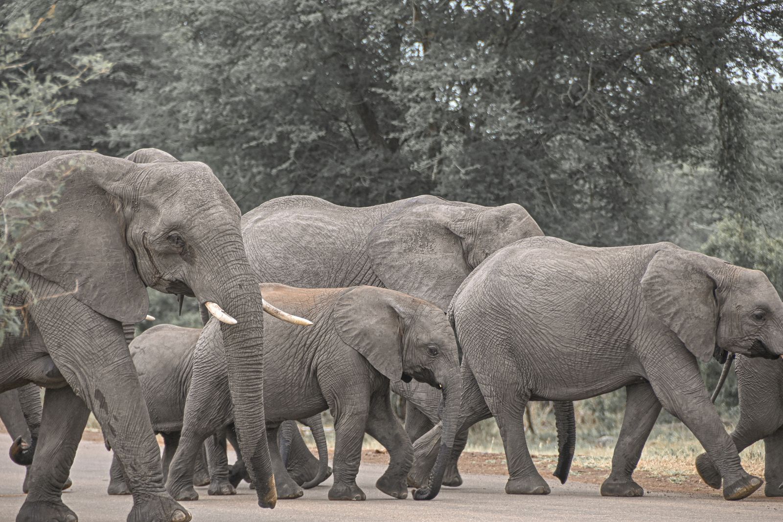
Photo: Corné Nel / Pexels
Self-Drive Ready: The South Africa Offline Checklist
Check off each step as you finish it. Your progress stays on this page.
0 of 7 complete
0% done
The Corridor Is the Download
Draw your offline areas along the journey, not around the destinations. A South African itinerary is a thread: Johannesburg to Kruger, the Panorama Route, down through Eswatini or back across the Lowveld, on to the Garden Route or the long N1 to Cape Town. Each leg becomes a download with generous margins, because the detours, a pass, a farm stall, a small town with the only fuel for an hour, are the trip as much as the gates are. Google Maps offline areas handle the tarred network well, and the OpenStreetMap apps take regional files for the rest. The test of a corridor download is not whether the park is inside it. It is whether the whole day, start town, passes, fuel stops, park gate, and the fallback town if the gate timing fails, sits inside the lines. Our guide to downloading offline maps covers the mechanics; the South African skill is refusing to download destinations and calling it a plan. Our USA guide teaches the same corridor logic for American road trips, and the family resemblance is strong: in both countries the wilderness is easy to find and the services are the scarce resource.
Tracks4Africa: The Overlander's Layer
Southern Africa has a specialist mapping tradition the rest of the world should envy. Tracks4Africa began as a community project collecting the tracks travelers actually drove, and its maps carry what consumer apps flatten away: roads typed by surface, tar, gravel, sand, and serious 4WD track, so a line on the map tells you what your vehicle will meet, plus an overlanding waypoint culture of campsites, water points, fuel stops, border posts, and hazards, gathered by the people who needed them. For the South African self-drive, and even more for the cross-border trips into Namibia, Botswana, and Mozambique that start here, that layer is the difference between a map of roads and a map of travel. Load it in its app or GPS form alongside your road app, download the regions you will drive before you leave, and use its waypoints to build your pin set: tonight's camp, the reliable fuel, the water you can count on. Where Google sees a thin line through empty country, Tracks4Africa sees a described journey, and in the Kalahari and the Karoo that description is the safety equipment.
Inside the Parks: Kruger and the Reserves
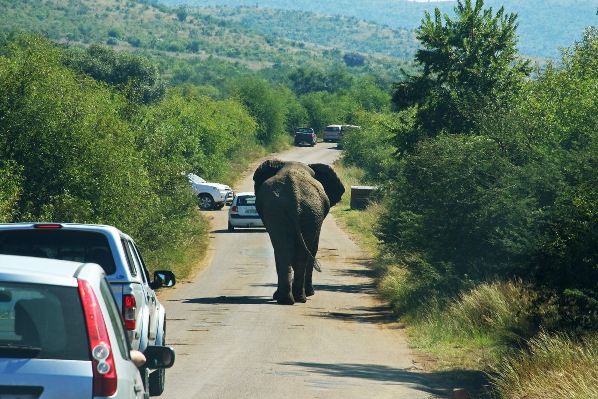
The parks invert the usual problem: the geography is contained, the roads are mapped, and the point is not finding the way but finding the animals. Kruger, the giant of the system, is a small country of its own, with tarred mains, gravel loops, and a chain of rest camps up its length. Park-specific offline material exists for it, dedicated Kruger apps and map sets that carry the road network, the camps, the gates, and the waterholes, and they work entirely offline, which matches the park's reality: SANParks itself notes that cellphone reception is listed at Kruger's twelve main rest camps, which tells you plainly that the roads between camps are offline territory. Download the park material before the gate, save your camps and the gate you must exit by as pins, and let the game drive be what it should be, slow, unhurried, and navigated by a map that asks nothing of the network. The same pattern, park app plus corridor download, serves Addo, Hluhluwe-iMfolozi, the Kgalagadi, and the private reserves, each smaller than Kruger and each with the same rule: the inside is easy once the outside got you there.
Fuel, Water, and the Spacing of Things
The discipline that keeps South African road trips pleasant is services arithmetic. Distances between towns in the Karoo, the Northern Cape, and the Kalahari fringe are measured in hours, and not every town on the map sells fuel at every hour, or at all on a Sunday afternoon. Build the habit the overlanders built Tracks4Africa to support: each evening, pin tomorrow's fuel with a margin, meaning the second station, not just the first; pin the overnight stop and the one after it; and keep the corridor download wide enough to contain the plan B town. Water follows the same logic in the dry country. None of this is anxiety; it is the local driving culture, learned by everyone who has watched a gauge fall on a road with no shoulder and no signal. Your offline map's job in this system is memory: it holds the pins, the distances, and the road types when the country itself offers no reminders. Our Australia offline coverage teaches the identical arithmetic for the Outback, the only other place where it matters this much.
Borders: Eswatini, Lesotho, and Beyond
South African itineraries leak across borders, and the downloads must leak with them. Eswatini sits inside the classic route between Kruger and the KwaZulu-Natal coast, and Lesotho sits inside the Drakensberg, and both are separate countries with separate map files in the OSM apps and separate rectangles in Google. Download them as their own jobs before the trip, pin the border posts you intend to use with their names from your documents, and remember that a border crossing is the worst place on earth to discover a missing map: queues, paperwork, and a new country's roads on the far side. Lesotho adds altitude and mountain weather to the lesson; its passes are the highest roads in southern Africa and its signal is as thin as its air. The traveler who treats the whole itinerary, borders included, as one offline system crosses calmly. The one who downloaded only South Africa meets the problem at the boom gate.
The Garden Route and the Coast: The Easy Miles
Not all of the country tests you. The Garden Route, the N2 along the southern coast through Mossel Bay, Knysna, and Tsitsikamma, is the gentle version of the South African road trip: good tar, close towns, strong signal by local standards, and scenery that needs no navigation strategy beyond stopping often. The Winelands and the Cape Peninsula are easier still. These miles matter to the offline plan for one reason: they are where travelers conclude their setup is fine. A phone that coasted along the Garden Route on live data has proven nothing about the Karoo detour or the Kgalagadi leg still to come, and the time to discover the missing corridor download is the guesthouse in George, not the gravel outside Beaufort West. Use the easy stretches as the workshop: finish the downloads, build the pin sets, run the airplane mode test on a day when failure costs an hour of Wi-Fi instead of a day of driving. The coast also has its own small print worth downloading for: the pass roads inland, Swartberg, Outeniqua, Prince Alfred's, are the scenic alternative to the highway and exactly the roads where a typed destination and a live map part company first.
The Airplane Mode Test, Self-Drive Edition
Run the exam in the guesthouse the night before a long leg. Airplane mode on. Route tomorrow's full day: start town, fuel stop, park gate or border post, overnight camp, and check that the route survives on downloaded data alone. Open the Tracks4Africa layer and confirm the surface types and waypoints for the gravel sections are present. Open the park material for the next reserve and find your camp and your exit gate. Read the pins back: fuel twice over, water where it matters, the plan B town. If any leg crosses a border, switch the map to that country and route the first hour on its side. A setup that passes at the guesthouse table will pass on the N1 at noon and on a gravel loop at dusk, which is when these tests are actually graded. For the app bench behind these choices, our offline map app comparison works through the field, and the New Zealand and Vietnam guides show the same discipline in mountain and motorbike country.
Beyond Kruger: The Smaller Parks and Private Reserves
Kruger teaches the pattern, and the rest of the system repeats it at smaller scales, each with its own offline personality. Addo's elephants live in thicket country where the park's loops reward a downloaded map precisely because the bush hides everything, including the road you came in on. Hluhluwe-iMfolozi, the oldest proclaimed reserve in Africa, is hill country where the map's contours matter as much as its roads. The Kgalagadi Transfrontier Park is Kruger's opposite: vast, dry, shared with Botswana, and so far from signal that the corridor discipline of this guide stops being advice and becomes the whole trip, fuel and water computed in days. The private reserves along Kruger's western boundary run their own game drives, and the self-driver's map work there is mostly the journey to the gate. The lesson generalizes: download per park, not per country-sized hope, and let each reserve's own material, its map, its gate times, its camp layout, ride inside the corridor download that delivers you to it. South Africa's parks are a necklace, and the string is the road between them. This guide has argued from its first paragraph that you download the string, not just the stones.
Related Guides
Readers working through this topic usually need its closest companions too. These GPS and navigation guides cover the neighboring ground:
- Offline Maps for the USA: State Downloads, Federal Topo Maps, and Forest Roads: Corridor downloads and services arithmetic for the other great self-drive wilderness.
- Offline Maps for New Zealand: Topo50 Sheets, Two Islands, and the DOC Tracks: Conservation land navigation where the tracks and huts are the destination layer.
- Offline Maps for Vietnam: Three Regions, Motorbike Routes, and Mountain Dead Zones: Regional splitting and pin discipline for a country of long distances between famous stops.
- Best Offline Map App for Australia: Outback-Ready Picks by Trip Type: The Outback version of the same fuel-and-water spacing discipline.
- How to Download Offline Maps: The general routine this guide specializes, menu paths and storage rules included.
Frequently Asked Questions
What is Tracks4Africa and do I need it?
Tracks4Africa is a specialist map set for southern Africa built from travelers' tracks. It types roads by surface, tar, gravel, sand, or 4WD track, and carries overlanding waypoints such as campsites, water, fuel, and border posts. For self-drive trips beyond the main highways, it is the layer that turns a road map into a travel map.
Does Kruger National Park have cellphone signal?
Reception is concentrated at the rest camps: SANParks lists cellphone reception at Kruger's twelve main rest camps. Treat the roads between camps as offline territory and download park maps and your camp and gate pins before entering.
How should I draw offline downloads for a South African road trip?
By corridor, not by destination. Each day's full leg, start town, passes, fuel stops, park gate, and fallback town, should sit inside the download, with margin for detours.
Do I need separate downloads for Eswatini and Lesotho?
Yes. Both are separate countries with separate map files and rectangles. Download them before the trip and pin the border posts you will use, because a border queue is the worst place to discover a missing map.
What is the most important offline habit for the Karoo and Kalahari?
Services arithmetic. Pin tomorrow's fuel twice over, your overnight stop and the one after it, and water where the country is dry. The map's job is to remember the spacing when the road offers no reminders.
Photo credits: Corné Nel (Pexels); Magda Ehlers (Pexels). Photos are served from this site; follow the credit to the library page for the original.