New Zealand looks like a small country that should fit in one download, and it punishes that assumption in a specific way: it is two long islands with a mountain spine, a thin population along the coasts, and a backcountry that begins about twenty minutes from any town and takes your phone signal with it. The official mapping is superb, Land Information New Zealand publishes the Topo50 series at 1:50,000 for the whole country, but it arrives in island-sized pieces and speaks the country's own grid language. The traveler who sets up offline maps the way they would for a European road trip ends up with roads and no trails, in the one country where the trails are the point. This guide builds the stack in the order the country demands it: the split downloads, the topo layer, the Department of Conservation tracks and huts, and the test that proves the phone can navigate the South Island high country with its radios off.
Home / GPS and Navigation Guides
Offline Maps for New Zealand: Topo50 Sheets, Two Islands, and the DOC Tracks
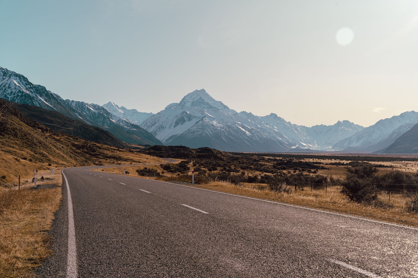
Photo: Mitchell Henderson / Pexels
Two Islands, One Grid: The New Zealand Offline Checklist
Check off each step as you finish it. Your progress stays on this page.
0 of 7 complete
0% done
Two Islands, Two Downloads
Start with the structural fact: the topographic apps built on LINZ data sell and download the Topo50 series by island. The North Island is one purchase and download, the South Island another, because the full series is a lot of cartography and most travelers, most of the time, are standing on one island at a time. Plan your downloads the same way the series is sold. If your trip is a South Island circuit, Christchurch, the passes, the West Coast, Fiordland, download the South Island set completely before you fly, and treat the North Island set as a separate job for a separate trip or a long ferry crossing with good Wi-Fi. The road apps follow a softer version of the same logic. Google Maps offline areas and the OpenStreetMap apps will happily take rectangles or a whole country file, and New Zealand's country file is manageable, but the discipline is identical: the download must cover the island you are on, the whole of it, including the far side of the range you plan to cross, because the signal dies at the coast and the mountains, not at the city limits. Our general guide to downloading offline maps covers the mechanics; everything here is the New Zealand layer on top.
The Grid: NZTM2000 and Reading Official Maps
The second surprise waits on the official maps themselves. New Zealand's topographic series is drawn on the New Zealand Transverse Mercator 2000 grid, NZTM2000, and its coordinates are meters east and north of a national origin, not the latitude and longitude pairs the rest of your digital life uses. On paper and in the topo apps, grid references rule: a hut, a track junction, or a rescue report is located by its grid numbers. This matters offline for a practical reason. When a DOC sign, a hut book, or a fellow tramper gives you a location, it will be a grid reference, and the app that can accept and display that reference is the Topo50 app, not a road app thinking in latitudes. Set your topo app to show the grid, learn to read the blue grid lines and the figures along the sheet edges, and the official information ecosystem, signs, intentions books, park maps, starts speaking your language. The road layer can stay in latitude and longitude for driving. The walking layer should think the way the country thinks.

DOC Tracks and Huts: The Layer That Is the Trip
For walkers, the Department of Conservation estate is the destination: thousands of kilometers of tracks and a hut network that ranges from Great Walk palaces to two-bunk backcountry shelters, all administered by DOC and all mapped. The offline question is whether your downloads include the DOC layer, tracks with their grades and times, huts with their names and capacities, and the boundaries of the conservation parks themselves. The Topo50 base already prints the classic track network, which is one reason trampers trust it, and dedicated apps and map sets add the DOC facilities data on top. Download deliberately for the parks on your itinerary: Fiordland, Aoraki Mount Cook, Arthur's Pass, Nelson Lakes, Tongariro. Check that the huts you intend to sleep in appear by name in your offline map, because a hut you can see on the map is a destination you can navigate to in bad weather, and a hut that exists only in a booking confirmation is a rumor. The Great Walks add their own wrinkle: they are booked, popular, and well signed, and the obscure tracks beside them are where offline detail earns its keep.
Te Araroa and the Long Thin Problem
New Zealand's shape creates one more offline specialty: the very long trail. Te Araroa runs the length of both islands, cape to bluff, and its walkers navigate a country that is all corridor and no width. The offline method for a trail like this is sectional: download the topo coverage in the sections you will walk over the coming weeks rather than attempting one heroic file, keep the trail's own notes and updates saved alongside the maps, and mark resupply towns, road crossings, and hut clusters as pins while you have signal in town. The same sectional discipline serves the touring driver on the South Island's West Coast, where the road is a single thread between the mountains and the sea and the offline rectangles should follow the thread, not the map's neat squares. Long thin countries, and our Vietnam offline guide makes the same argument for a different one, are downloaded in chapters.
Driving: The Touring Routes and the Gaps Between Towns
For drivers, the offline stakes are lower but the gaps are real. State highways thread through country where towns, fuel, and signal all thin out together: the West Coast, the Mackenzie Basin, the East Cape, the Far North. Download the full road coverage for your island, save fuel stations and your accommodation as pins each evening, and treat the passes with respect, because the alpine crossings, Arthur's, Lewis, Haast, and the Lindis, combine no signal with weather that changes the road itself. In winter, offline maps pair with the road authority's closure information checked before you leave coverage, since a downloaded map happily routes you to a closed gate. The pattern is the same one our Canada offline guide teaches for a bigger country: the map is not the scarce resource, the gaps between services are, and pins saved in advance are how you carry certainty into them.
Weather, Rivers, and Why the Map Is a Safety Tool
New Zealand's backcountry weather is the real subject underneath all of this. Conditions change by the hour in the ranges, rivers rise fast enough to cut tracks, and the gap between a fine morning and a serious afternoon is a local proverb because it keeps being true. The offline map participates in safety in concrete ways. A topo layer that works with no signal is the one you can navigate by when the cloud drops onto the ridge. Huts visible on the map are shelter options you can actually aim for. River crossings marked on the Topo50 sheets, with the track's relationship to the water drawn honestly, let you plan the day around the crossings rather than meeting them as surprises. None of this replaces the forecast, the intentions form, or the judgment to turn back, and DOC's own advice comes first in all three. What the offline setup does is remove the phone from the list of things that can fail. In a country where the walk is the reason for the trip and the weather is the author of the itinerary, a map that needs nothing from the sky is not a convenience. It is equipment.
The Airplane Mode Test, Two-Island Edition
The night before your first tramp or your first long drive, run the standard exam, tuned to this country. Phone in airplane mode. Open the topo app and find tomorrow's track, its huts, and its grid references. Open the road app and route to the trailhead and onward to the next town. Open the section downloads for any long trail on your list and confirm the next chapter is present, not just the current one. If your trip crosses to the other island, check the other island's Topo50 set with the same suspicion, because the ferry is exactly where an island-shaped download mistake announces itself. A setup that passes on the hostel Wi-Fi will pass in the valleys. One that fails gets fixed in the hostel, with tea, which is the only correct place for a map to fail. For the app choices themselves, our offline map app comparison works through the field, and the country guides for the USA and South Africa show how differently the same discipline bends on other continents.
The Great Walks Layer: Bookings, Hut Tickets, and Paper
One more New Zealand specialty deserves its own paragraph because it changes what you download. The Great Walks, Milford, Routeburn, Kepler, Abel Tasman, and their siblings, run on bookings: hut and campsite reservations in season, managed by DOC, with the walk itself following infrastructure a grade above the ordinary backcountry. Offline preparation for a Great Walk is therefore partly administrative. Save the booking confirmations with the maps, because the phone that holds your route should also hold your right to sleep along it. Download the track's own DOC material, the park's visitor information, and the transport arrangements at both ends, since Great Walks are point to point and the boat, bus, or car relocation at the finish is part of the navigation problem. The same applies in miniature to the hut network beyond the Great Walks: many huts run on annual passes or tickets bought in advance, and the offline map that shows a hut should ideally be accompanied by the knowledge of what sleeping there requires. None of this is map data. All of it belongs in the same evening's preparation, because the tramp where the map worked and the paperwork did not is a story told in DOC visitor centers every season.
Related Guides
Readers working through this topic usually need its closest companions too. These GPS and navigation guides cover the neighboring ground:
- Offline Maps for Vietnam: Three Regions, Motorbike Routes, and Mountain Dead Zones: Another long thin country downloaded in chapters, with a motorbike routing twist New Zealand does not have.
- Offline Maps for the USA: State Downloads, Federal Topo Maps, and Forest Roads: The federal public lands stack, USGS topo sheets and forest road maps, that plays the role LINZ plays here.
- Offline Maps for South Africa: Self-Drive Safaris, Tracks4Africa, and the Roads Between Parks: Offline planning where the roads between the parks matter as much as the parks themselves.
- Offline Maps for Canada: Province Downloads, Federal Topo Sheets, and the Long Empty Highways: The same province-by-province discipline at ten times the scale, with federal topo sheets as the backcountry layer.
- How to Download Offline Maps: The general routine this guide specializes, menu paths and storage rules included.
Frequently Asked Questions
Why are New Zealand topo map apps sold by island?
The LINZ Topo50 series is a large body of cartography, and the apps built on it package it as a North Island download and a South Island download. Buy and download the island you are traveling on, and treat the other island as a separate job.
What coordinate system do New Zealand official maps use?
The Topo50 series uses the NZTM2000 grid, with coordinates in meters rather than latitude and longitude. Track signs, huts, and rescue references use grid references, so set your topo app to display the grid when walking.
Do I need the DOC tracks and huts in my offline map?
If you are walking, yes. Download the parks on your itinerary with their DOC tracks and huts included, and confirm your intended huts appear by name in the offline map before you rely on reaching them.
Will Google Maps offline cover New Zealand tramping?
It covers the roads well and the backcountry tracks thinly. Pair it with a Topo50 based app for tracks, huts, and grid references, the same two-layer pattern this site teaches for most mountain countries.
How should I download maps for Te Araroa?
Sectionally. Download the topo coverage for the sections you will walk in the coming weeks, save the trail notes with the maps, and pin resupply towns and road crossings while you are in signal.
Photo credits: Mitchell Henderson (Pexels); Tyler Lastovich (Pexels). Photos are served from this site; follow the credit to the library page for the original.