Our general best hiking map app guide ranks the field for everyone. This one narrows the question to the phone in your pocket, because iPhone ownership changes the answer in three ways: Apple Maps itself has become a real trail app on recent iOS versions, with topographic maps and trail networks built in; the Apple Watch on your wrist is a second screen some apps use brilliantly and others ignore; and iOS battery and background rules shape how track recording behaves on a long day. Judged on iPhone axes, the ranking reshuffles. Here is the honest version.
Home / Map Skills for Travel and Outdoors
Best Hiking Map App for iPhone: AllTrails, Gaia GPS, onX, and Apple Maps on Trail
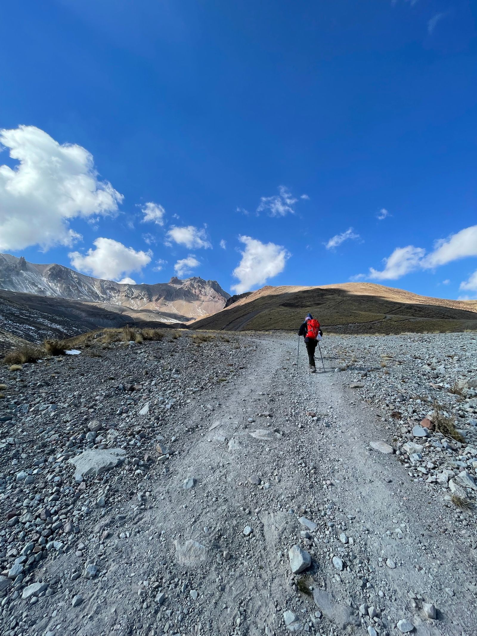
Photo: Eren Sever / Pexels
Interactive tool
Best Hiking Map App for iPhone: Decision Checklist
Check off each step as you finish it. Your progress stays on this page.
0 of 7 complete
0% done
The Contenders on iPhone
AllTrails is the discovery champion. Its catalog of community reviewed trails, with recent condition reports, photos, and difficulty ratings, answers the hiker's first question, which trail, better than any rival. On iPhone it is polished, its Apple Watch app shows the route and stats on your wrist, and its free tier covers browsing and on trail navigation while connected. The catch is consistent: downloading maps for offline use is a paid feature, and trails are exactly where signal dies. The free tier is a fair trial and a poor backcountry plan.
Gaia GPS is the map layer power tool. Its catalog of overlays, topographic maps from multiple sources, land ownership, wildfire layers, snow data, is the deepest in the business, and serious route builders plan entire expeditions in it. On iPhone it records tracks reliably in the background, works fully offline with downloaded maps, and has an Apple Watch companion. Its best layers sit behind its membership tiers, and the interface rewards the hikers who invest in learning it. The free tier is limited; treat Gaia as a subscription product that happens to have a trial.
onX Backcountry splits the difference: strong trail data, clean offline downloads, land boundaries that matter in the American West, and a membership price between the two rivals' tiers. Its iPhone app is approachable where Gaia is dense, and its trail reports are growing toward AllTrails' depth without having arrived. For hikers who found Gaia intimidating and AllTrails thin on maps, onX is the considered middle.
Apple Maps is the insurgent. On iOS 18 and later it includes topographic maps with trail networks, initially covering United States national parks and expanding, with the ability to build and save custom walking routes and download areas for offline use at no cost. It has no community reviews, no condition reports, and its trail coverage outside headline areas is still growing, but for a casual hiker walking known trails in covered areas, the best hiking app on the phone may now be the one already on the phone. Our best offline map app for walking directions guide covers its offline walking behavior in the wider field.
iPhone Specific Comparison
| Axis | AllTrails | Gaia GPS | onX Backcountry | Apple Maps |
|---|---|---|---|---|
| Trail discovery and reviews | Best in class | Moderate | Good and growing | Minimal |
| Offline maps | Paid tier only | Membership tiers | Membership | Free downloads |
| Apple Watch app | Yes | Yes | Yes | Via iPhone routes |
| Map layers and overlays | Moderate | Deepest catalog | Strong | Basic topo |
| Track recording | Yes | Yes, power features | Yes | Route based |
| Price shape | Free tier, subscription for offline | Membership | Membership | Free |
Battery and Airplane Mode, the iPhone Reality
All four apps navigate happily in airplane mode once maps are downloaded, and airplane mode is the single best battery decision on trail, since the phone stops hunting for a network that is not there. GPS itself is a modest drinker; the screen is the drunkard. The pattern that lasts a long day: download at home, airplane mode on trail, screen brightness down, check the map at junctions rather than walking with it lit, and let the Watch carry glanceable stats if you wear one, since a wrist raise costs less than a phone wake. Under that discipline any of the four outlasts a day hike; under screen always on navigation, none of them reliably does, and a small power bank outweighs any app choice. iOS specific note: keep the app's location permission at Always for the hiking apps you record with, or iOS will trim background recording mid trail, a setting the checklist above includes.
The Picks by Hiker
The weekend discoverer: AllTrails, free tier for finding trails near home with signal, and honesty about its limit: the moment your hikes lose signal regularly, its subscription or a second app stops being optional.
The route builder and backcountry planner: Gaia GPS. The layers and offline depth are the product; the membership is the price of the best map desk on iPhone.
The Western land boundary hiker: onX Backcountry, where public and private land lines decide where you may walk, drawn cleanly and priced fairly.
The casual national park walker on a recent iPhone: Apple Maps first. Check whether your park's trails are in its topo coverage; if they are, you may need nothing else, and the money saved buys the power bank that matters more.
The pattern across all four: on iPhone the contest is no longer about who has a trail app, but about who owns the layer you personally need, reviews, overlays, boundaries, or zero cost. Name your layer, and the pick makes itself.
The Two App Strategy Most iPhone Hikers Land On
Notice that the picks above each surrender something: AllTrails surrenders offline to its paywall, Gaia surrenders simplicity, Apple Maps surrenders the crowd's knowledge. The arrangement experienced iPhone hikers converge on is a pair, not a winner. Use AllTrails free for what it does uniquely, discovering trails and reading this week's condition reports while you still have signal at home or the trailhead. Then navigate with the app whose offline behavior you trust: Apple Maps downloads where its coverage reaches, Gaia or onX where it does not. The discovery app chooses the trail; the navigation app survives it. This split also hedges the data risk: crowd reports can be stale or wrong about a closure, and a surveyed topographic layer has corrected more than one enthusiastic review. Our best hiking map app free guide prices the zero cost version of this strategy honestly, including where free genuinely suffices and where it quietly stops.

Trail Data Honesty: Whose Map Do You Trust at Mile Nine
Every app in this guide draws its trails from somewhere, and the sources fail differently. Crowd platforms aggregate the tracks of thousands of hikers, which makes them superb on popular routes and quietly fictional on neglected ones, where a "trail" may be one person's bushwhack from 2019 wearing the same line weight as a maintained path. Surveyed and agency data, the topographic tradition inside Gaia's layers and Apple's newer trail networks, is slower to appear and slower to change, conservative in both directions: it misses the new reroute and never invents a route that is not there. OpenStreetMap data, underneath several of these apps, sits between the two, edited by locals who walk the ground and by armchair mappers tracing imagery, with quality that varies by region exactly as its editor density does. The field habit that respects all three: cross check any consequential junction in a second source before the trip, and on the ground, believe the blazes and the tread over any line on any screen. The apps are witnesses. The trail is the fact.
Before You Subscribe to Anything: The One Hike Test
Subscriptions renew quietly and trails vary wildly, so run this test before any money moves. Pick your next real hike. In each candidate app's free tier, find the trail, read its recent reports, and check whether your exact route is covered by its downloadable or built in maps. At the trailhead, start recording in the free app you are testing and hike as you normally would, phone mostly pocketed. At the car, grade the experience on the four questions that predict a year of use: did the route stay found, did the recording survive the background, did the battery cost feel fair, and did the map tell you anything at the one junction where you hesitated. The app that passes on your trail, with your habits, at your battery discipline, is your app, whatever any ranking, including this one, prefers in the abstract. Then subscribe to exactly that one, set the renewal reminder a week before it bills, and let the other icons go.
Related Guides
The closest companions to this guide are the travel and outdoors map skills guides below. Each one picks up a thread this page starts:
- Best Hiking Map App for Australia: Gaia GPS, Avenza, AllTrails, and the Safety Apps: Australia changes the hiking app question.
- Best Hiking Map App for Europe: National Maps, Huts, and Borders: Europe has no single hiking map because Europe has no single mapping tradition: it has the finest national mapping agencies on earth, each with...
- Best Hiking Maps for Apple Watch: Navigation That Lives on Your Wrist: A hiking map on your wrist is a different tool from one on your phone: the glance replaces the study session, and the deciding question is whether...
Frequently Asked Questions
Is AllTrails free on iPhone?
Browsing trails, reading reviews, and navigating while you have signal are free. Downloading maps for offline use, the feature that matters most on trail, requires the paid subscription. Many hikers use the free tier near home and subscribe, or add a second app, when their hikes start losing signal.
Does Apple Maps really have hiking trails now?
Yes, on iOS 18 and later Apple Maps includes topographic maps with trail networks, launched with United States national parks and expanding coverage, plus custom route building for walking and hiking and free offline downloads. It lacks community reviews and condition reports, and coverage outside major areas is still growing, but for known trails in covered areas it is a genuine option.
Which hiking app works best with Apple Watch?
AllTrails, Gaia GPS, and onX Backcountry all offer Apple Watch apps that show route progress and stats on the wrist, which saves phone battery and keeps the phone pocketed at junctions. Apple Maps routes also surface through the Watch's Maps app. If the Watch is central to your hiking, test each app's Watch face behavior before subscribing.
Which iPhone hiking app is best offline?
Gaia GPS and onX Backcountry, with downloaded maps and full navigation offline on their membership tiers, and Apple Maps with its free downloads where its trail coverage reaches. AllTrails only downloads on its paid tier. Whichever you choose, download at home and test in airplane mode before the trailhead.
How do I stop hiking apps from draining my iPhone battery?
Download maps in advance, use airplane mode on trail, since GPS still works while the network radios rest, lower screen brightness, and check the map at junctions instead of navigating with the screen lit. Set the app's location permission to Always so track recording is not trimmed. A small power bank remains the cheapest insurance of all.
Do I need cell signal for GPS to work on a hike?
No. GPS positioning comes from satellites and works in airplane mode and far beyond coverage, which is why downloaded maps plus GPS give full navigation offline. What signal adds is live data: weather, fresh trail reports, and map downloads you forgot. The planning failure is never the GPS; it is arriving without the maps downloaded.
Photo credits: Eren Sever (Pexels); Ali Kazal (Pexels). Photos are served from this site; follow the credit to the library page for the original.