Norway organizes its hiking like nowhere else on earth. A single volunteer association, the Norwegian Trekking Association, known everywhere as DNT, maintains a national web of marked routes and a chain of cabins, staffed lodges and self-service huts, that lets a walker cross the country sleeping under a roof every night. The map app question in Norway is therefore really a question about joining that system digitally, and its name is UT.no, DNT's own trip service. Beneath it, the state's cartography comes from Kartverket, the Norwegian Mapping Authority, whose data powers the Norgeskart app. This guide explains the DNT system a visiting walker is joining, what UT.no and Norgeskart each do, and how to set both up for a country where the distances are long, the weather is a character in every story, and the signal gives up long before the plateau does. It follows the same stack logic as our European hiking app guide, with Norway's institutions in the national layer.
Home / Map Skills for Travel and Outdoors
Best Hiking Map App for Norway: UT.no, Marked Routes, and Cabins
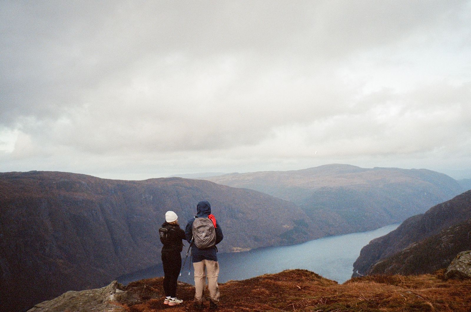
Photo: Jacob Riesel / Pexels
Follow the Red T: The Norway Hiking Checklist
Check off each step as you finish it. Your progress stays on this page.
0 of 8 complete
0% done
The DNT System: Marked Routes and Cabins
Understand the system first, because the apps are its windows. DNT's volunteers mark routes across Norway's mountains and forests, summer paths signed and cairned, winter routes marked with poles and branches, connecting a network of cabins that ranges from large staffed lodges with cooked dinners to small self-service huts stocked with provisions, opened with the association's standard key by members. The marked route is a Norwegian institution in physical form: follow the red T markers and the cairns and you are on a line that generations of volunteers have walked, checked, and maintained. For the visiting walker this changes what a map must do. It is not enough for the app to show terrain; it must show the system, which routes are DNT-marked, where the cabins stand, what kind they are, and how the legs between them compose into days. UT.no is where DNT publishes exactly that: the routes, the cabins, and trip suggestions built from them, the association's own knowledge in digital form. Joining DNT, or understanding its member and key arrangements before a cabin tour, is part of trip planning in a way no app store description will tell you, and UT.no is the door into those arrangements as well as the map of them.
UT.no: The Association's Map of Its Own World
UT.no began as a website and lives as an app as well, and its content is its argument: DNT's marked routes drawn over topographic mapping, the cabin network plotted with its details, and a deep library of described trips, from family walks near the cities to multi-day crossings of the great plateaus like Hardangervidda. For route planning in Norway it has no real substitute, because it is the publisher of the system itself rather than an observer of it; when a route is rerouted or a cabin's status changes, UT.no is where the association says so. Its offline function is the feature the country demands: download the map areas and trips for your journey in advance, and routes, cabins, and mapping ride along without a signal. The working pattern for a cabin tour assembles itself naturally in the app: choose the legs between cabins, save the trips, download the whole area generously, the plateau you cross and the valley you might retreat to, and let the red lines of the marked network structure the days. Foreign walkers should know that UT.no speaks Norwegian first; its interface and trip descriptions reward a translation tool and a small vocabulary of hiking Norwegian, and that effort is repaid in the quality of what it unlocks, because the English-language internet's Norway is a thin sketch of the country UT.no covers.
Norgeskart: The State's Cartography Underneath
Every stack needs its authority layer, and in Norway that is Kartverket, the Norwegian Mapping Authority, whose topographic data is the country's official portrait. Norgeskart, the mapping authority's own map application, puts that data on your phone: the national topographic series with its contours, its place names in their official forms, its paths and its coastline drawn to survey standard. Where UT.no answers the hiker's questions, where are the marked routes and cabins, Norgeskart answers the navigator's, what exactly is this terrain, this ridge, this watercourse, and it does so with the neutrality of a state survey that maps everything, not just the walked. The two apps compose the same division of labor as the national stacks elsewhere in Europe: the institution's layer for the system you are traveling in, the agency's layer for the ground truth beneath it. Walkers who navigate seriously, off the marked routes, on skis in winter whiteout conditions, or anywhere the red T's run out, will find themselves in Norgeskart's contours the way British navigators find themselves in the Explorer sheets. Download discipline applies equally: take the areas down over Wi-Fi before the trip, in both apps, and rehearse the whole setup in airplane mode before the plateau rehearses it for you.
Norwegian Conditions: Why the Offline Discipline Is Stricter Here
Norway's scale rewrites the usual advice in a sterner hand. Distances between cabins are full days, the weather on the plateaus can turn arctic in any month, and the fjord country's terrain funnels routes through corridors where a missed junction costs hours rather than minutes. The marked system is a safety system as much as a convenience, and the digital stack should be treated with the same seriousness: downloads completed and tested, power carried for days not hours, and the route shared with someone off the mountain, the oldest Norwegian rule of all. Know also what the apps cannot do. They will not make an unmarked route safe in fog, they will not replace the compass skills that plateau navigation in whiteout demands, and they will not shorten a Norwegian mile, which the terrain measures honestly and the visitor always underestimates. What the stack does, UT.no's system knowledge over Norgeskart's ground truth, both offline in your pocket, is remove the avoidable failures, the missed cabin, the wrong valley, the route that was never marked, from a landscape that supplies enough unavoidable challenge on its own. Norway is the best-organized hiking country in the world. Meet it organized.
Winter and the Second System: Ski Routes and the Pole Lines
Norway's marked system has a second season, and the visiting walker who returns in winter meets its twin. When the snow covers the summer paths, DNT's winter routes take over: lines across the frozen plateaus and between the cabins marked not by paint, which the snow buries, but by poles and brushwood stakes set into the snowpack, a temporary geography renewed each season and removed each spring. The apps carry this duality too, with winter routes distinguished from summer ones, and the distinction is a safety matter, not a labeling nicety: a summer path's line across a lake's shore is a poor guide to the winter crossing of its ice, and the pole line exists because the safe winter geometry is its own. Ski touring between the cabins, pulk or pack, is Norway's great winter journey form, and planning it in UT.no means thinking in the winter system's terms, stages between staffed cabins where a hot dinner absorbs the day's cold, distances measured in honest plateau hours. The map stack's role grows graver in winter, because the plateau in a whiteout is the most demanding navigation environment in Europe, a place where the marked poles, the compass, and the downloaded map in a cold-proof pocket are a single system, no part of which is optional. Walkers who learned the summer system in these apps will find the winter one legible. Both are the same national idea, a marked way through serious country, maintained by volunteers, published by UT.no, drawn over Kartverket's ground truth.
The Coast and the Fjords: Marked Routes at Sea Level
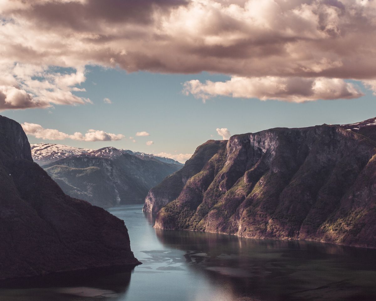
Not all of Norway's marked geography is alpine. The coast, thousands of kilometers of fjord, island, and skerries, carries its own marked routes, and the apps serve it with the same two-part stack. Coastal paths thread the shoreline communities, and Norway's coastal heritage trails link lighthouses, fishing villages, and war history at walking pace, with the marked-route layer in UT.no treating them as first-class citizens alongside the mountain classics. Kayakers read the same coastline through the map stack differently, as a chain of landing places, campsites, and crossings, and Kartverket's charts-minded data, islands named, shores drawn true, underlies their planning as faithfully as it underlies the mountaineer's. The fjords themselves are the classroom for Norway's scale: a route that looks like a morning's stroll across a fjord on a zoomed-out map is a day's serious paddling or a long drive around, and the discipline of checking distances at walking zoom, the habit this article has pressed throughout, was invented by exactly this geography. Ferries stitch the coast's road network together, and the crossings are part of the route rather than interruptions of it, so a coastal itinerary planned in the apps should have its ferry legs saved and screenshotted like any other stage, timetables being data that a dead signal cannot fetch. Sea or summit, the lesson holds: the national map tells the truth at every scale, and the walker's job is to ask it questions at the scale the journey will actually be lived.
Related Guides
The closest companions to this guide are the travel and outdoors map skills guides below. Each one picks up a thread this page starts:
- Best Hiking Maps for Apple Watch: Navigation That Lives on Your Wrist: A hiking map on your wrist is a different tool from one on your phone: the glance replaces the study session, and the deciding question is whether...
- Triangulation With a Map and Compass: Resection and Intersection, Step by Step: Triangulation with a map and compass answers two questions: where am I (resection, bearings to known landmarks plotted backwards from them), and...
- Contour Lines on a Map: What They Are and the Rules They Never Break: A contour line joins points of equal elevation, and from that one definition every rule of topographic maps follows: lines never cross, spacing is...
Frequently Asked Questions
What is the best hiking map app for Norway?
UT.no, the Norwegian Trekking Association's own service, is the essential app: it carries DNT's marked routes, cabin network, and trip library, with offline downloads. Pair it with Norgeskart, built on the Norwegian Mapping Authority's data, for authoritative topographic mapping underneath.
What is UT.no?
UT.no is DNT's trip portal and app, the digital home of Norway's marked hiking routes and trekking cabins. It publishes the association's routes, cabin details, and described trips, and lets you download areas for offline use. Its content is primarily in Norwegian.
What are DNT cabins and how do they affect planning?
DNT maintains a national cabin network, staffed lodges and self-service huts, linked by marked routes, which makes multi-day roofed hiking possible across Norway. Planning a tour means composing legs between cabins, and UT.no is where their positions, types, and connecting routes are published.
What is Norgeskart?
Norgeskart is the map application of Kartverket, the Norwegian Mapping Authority, presenting the official national topographic mapping. It serves as the ground-truth layer beneath UT.no's route and cabin system, especially valuable off the marked network.
Does UT.no work offline?
Yes. Map areas and trips can be downloaded in advance and used without a signal, which is essential in Norway's mountains. Download generously, including retreat valleys, and test everything in airplane mode before the trip.
Photo credits: Jacob Riesel (Pexels); Thor Olason (Pexels). Photos are served from this site; follow the credit to the library page for the original.