Our worldwide best hiking map app guide ranks the global field. Australia deserves its own answer, because the local facts rearrange the podium. This is a continent where a day walk can leave phone coverage before it leaves the car park, where the state governments publish excellent topographic maps, where bushfire information is a live data layer rather than a news item, and where the official emergency app does something cleverer than dialing. The best setup for an Australian walker is a small stack, not a single app, and this guide assembles it.
Home / Map Skills for Travel and Outdoors
Best Hiking Map App for Australia: Gaia GPS, Avenza, AllTrails, and the Safety Apps
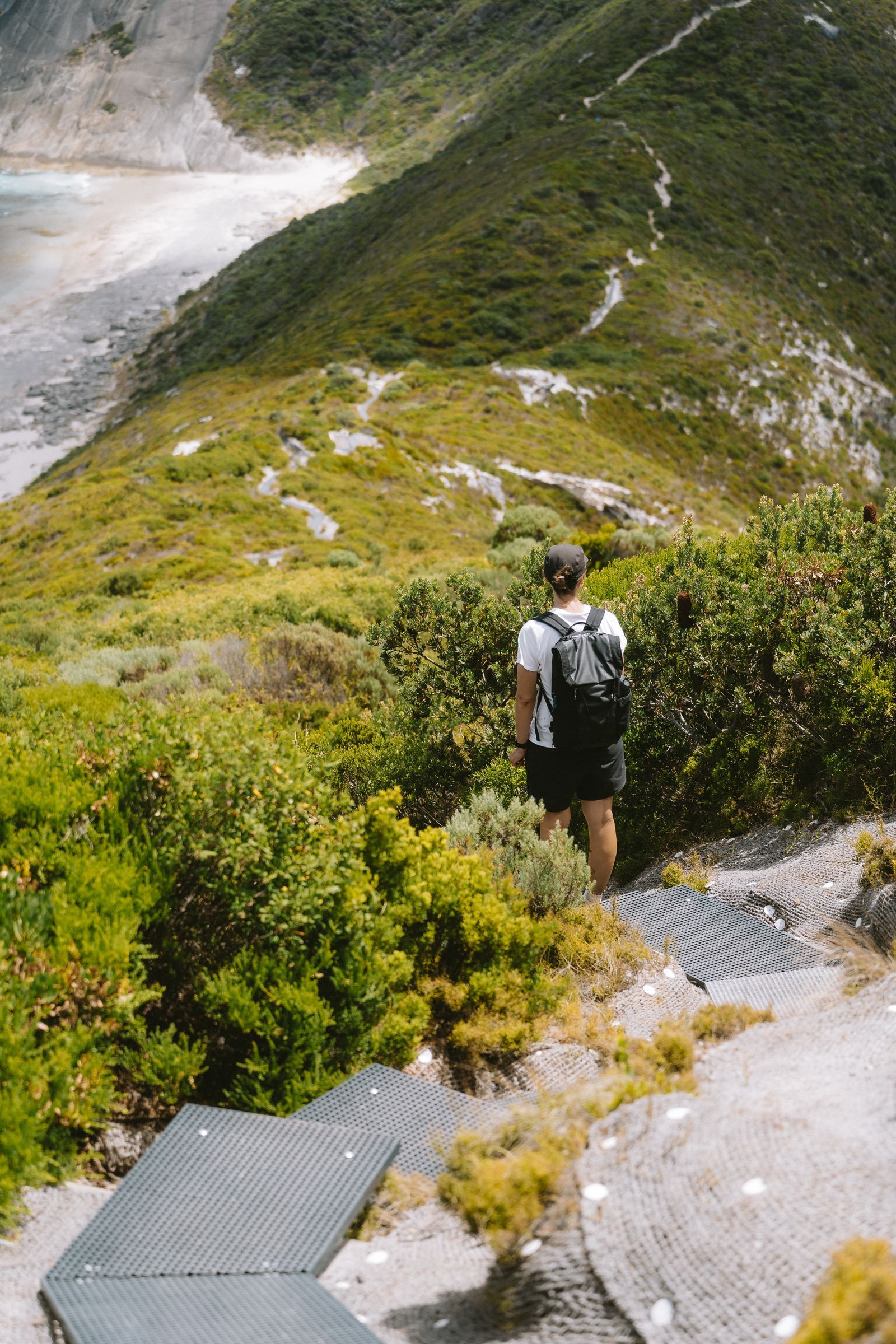
Photo: Line Knipst / Pexels
Interactive tool
Australia Hiking Kit: Apps and Safety Layers
Check off each step as you finish it. Your progress stays on this page.
0 of 7 complete
0% done
The Short Answer: A Stack of Three, Plus Two Safety Apps
- Gaia GPS is the best primary navigation app for Australian bushwalking, because its layer catalog includes Australian state topographic maps alongside the global sources, and its offline downloading is built for multi-day, no-signal trips.
- Avenza Maps is the best companion for official park maps: state park and land agencies publish georeferenced PDF maps (the same maps sold in park shops), and Avenza plots your GPS position on them, free for a limited number of maps at a time.
- AllTrails is the best discovery app for popular tracks near cities, where its review volume is strong; treat its coverage as thinning with remoteness.
- Emergency+ and your state's fire app are not navigation tools, but they belong in the same folder on the phone, for reasons below.
Gaia GPS: The Serious Walker's Primary
Gaia's strengths are the ones Australian conditions reward. Its catalog approach lets you stack layers (a state topo base, satellite imagery, slope and fire-related overlays where available) and download the stack for offline use at proper topographic detail. The state topo layers are the headline: Australian states maintain their own topographic series, and having the official topo for New South Wales, Victoria, Tasmania, and the rest inside the same app as your route planning removes the old ritual of juggling paper sheets and PDFs. Route planning, track recording, and waypoint management are the strongest of the consumer apps, and the app assumes multi-day offline work rather than treating it as an edge case. The cost is a subscription for the full layer catalog and downloads, and a learning curve steeper than AllTrails. For walkers whose trips are measured in days and national parks rather than hours and suburbs, it earns both.
Avenza Maps: The Official Park Map, Georeferenced
Australia's park agencies publish their visitor maps as georeferenced PDFs, and Avenza is the app those PDFs are made for. Download the map for the park you are visiting (many are free from agency stores inside the app), and your phone's GPS becomes a blue dot moving across the official map, with its official track names, distances, facilities, and warnings. This matters more than it sounds: the park map is the document the signage on the ground refers to, the one rangers will name landmarks from, and the one whose track classifications (grade, distance, time) are authoritative. Avenza's free tier limits how many imported maps are active at once, which suits trip-by-trip use; a subscription removes the limit for people who collect states. Avenza does not plan routes or discover walks; it does one thing, official maps with your position on them, and for Australian parks that thing is disproportionately valuable.
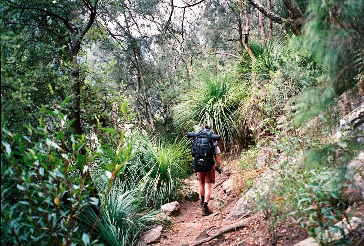
AllTrails: Discovery Near the Cities
AllTrails' Australian coverage follows its users, which means it is rich where Australians walk most: the Blue Mountains, the Dandenongs, Brisbane's and Perth's hinterlands, Tasmania's popular day walks, and thin in the arid interior and remote ranges. Used within its strength, it is the fastest way to answer "what is a good three-hour walk near here, and is the track worth it," with recent reviews flagging closures, water levels, and track conditions. Used beyond its strength, its user-generated routes in remote areas can be sparse, outdated, or drawn by optimism. The rule: AllTrails for discovery and recent conditions on popular tracks; Gaia or the official Avenza map for navigation you depend on; and never let a crowd-sourced line be your only guide in country where a wrong turn is a long one.
The Coverage Reality: Plan for No Signal
Most of Australia's land area has no mobile coverage at all, and the populated fringe loses signal in exactly the gullies and ranges where people walk. This is not an inconvenience to note; it is the design constraint for the whole stack. Every map you will need must be downloaded before the drive, not at the trailhead, because the trailhead is where the signal ends. Test the downloads in airplane mode at home. Carry the day's plan (route, distance, expected time) somewhere that is not the phone, and tell someone the plan and the return time, which remains the cheapest safety device in Australian bushwalking. Walkers going genuinely remote should carry a personal locator beacon (PLB), registered with AMSA, the Australian Maritime Safety Authority, which runs the rescue coordination system; a PLB summons help by satellite with no subscription and no signal, and Australian rescue authorities recommend them for remote travel precisely because phone apps, however good, end where coverage does.
Emergency+: The App That Tells You Where You Are
Emergency+ is the official app developed with Australia's emergency services, and its key feature is not the big call button. It is the screen that shows your location as coordinates and as a what3words address, readable aloud to the 000 operator, and it can display that location without mobile data, because GPS does not need the network. In a country of vast distances and vague addresses ("on the track, past the second creek"), giving a caller a precise, speakable location is the difference between a search and a pickup. Install it before you need it, open it once so it is configured, and know that it lives on the phone for the worst ten minutes of a trip, not the best ones.
Fire and Weather: The Two Australian Layers
Bushfire information is map data in Australia. Each state runs its own warnings system and app (Fires Near Me in New South Wales is the best known; other states have equivalents such as VicEmergency in Victoria), and during fire season checking the fire map is as much a part of trip planning as checking the track. Fires change access, close parks, and move faster than walkers; a navigation app that does not know about them is only half a plan, so the state fire app sits beside the map apps from November onward. Weather is the Bureau of Meteorology's (BOM) job: its forecasts and rain radar are the reference every local uses, and alpine areas (the Snowy Mountains, Tasmania's highlands) can deliver snow in any month, which the BOM forecast will tell you and a global app's summary may soften. Fire before you go, weather while you plan, topo while you walk: that is the Australian information stack.
Verdict, by Walker
- Multi-day bushwalker: Gaia GPS as primary, Avenza for the parks on the route, Emergency+ installed, PLB in the pack for remote sections.
- Day walker near the cities: AllTrails for discovery and conditions, Avenza's official park map for the walk itself, Emergency+ for insurance.
- Outback and 4WD tourer: Gaia with downloaded topo and satellite layers for the whole route (distances defeat single-park thinking), plus paper or Hema-style touring maps as the non-battery backup, and a PLB as standard, not optional.
- Visitor doing the famous walks: AllTrails to choose, Avenza to walk, BOM for weather, and a healthy respect for distances that look small on a phone screen and are not.
Water, Heat, and Sun: The Data That Decides Australian Walks
In much of the world the map's job is route finding. In Australia it is also resource finding. Long tracks cross country where water is seasonal, tanked at specific points, or absent, and the difference between a marked water source being reliable and dry is a safety fact, not a detail. Official park maps and agency track notes (the Avenza layer of the stack) are where water information is most trustworthy; crowd reviews in AllTrails are the freshest source for whether a tank or creek actually held water last week, which is a genuinely good use of the crowd. Heat rewrites plans the same way: a walk that is pleasant at 25 degrees is dangerous at 38, and exposed ridgelines in the ranges offer no shade to improvise with. Check the BOM forecast for the walk's actual location (mountain and desert forecasts differ wildly from the nearest city's), start at dawn on hot days, and let the map's distance and elevation profile, not optimism, set the turnaround time. The sun itself is a navigation-grade fact here: UV levels are extreme, and the walker who plans shade, water, and timing from the data walks comfortably in a country that punishes improvisation.
Battery and Paper: Keeping the Stack Alive
A three-app stack is worthless on a dead phone, and Australian distances eat batteries (cold alpine nights and hot desert days both shorten them, and a phone hunting for nonexistent signal burns power fastest of all). The disciplines are simple and proven: airplane mode on the track (GPS still works, the radios stop shouting at absent towers), maps downloaded so the phone never strains to load them, screen brightness managed because the display is the biggest single drain, and a power bank sized to the trip. For multi-day and remote walks, add the analog layer: a printed copy of the official park map or topo sheet in a waterproof sleeve. Paper does not run out of battery, does not crack when dropped, and gives the whole group a shared picture at planning stops. The professional pattern worldwide is digital primary, paper backup; in Australia, where the backup also survives the heat that throttles phones left in the sun, it is not nostalgia. It is engineering.
Related Guides
This guide does not stand alone. The travel and outdoors map skills guides below take up the questions it leads into:
- Best Hiking Map App for iPhone: AllTrails, Gaia GPS, onX, and Apple Maps on Trail: The iPhone hiking contest is not the general hiking contest, because iOS changes the answers.
- Best Hiking Map App for Norway: UT.no, Marked Routes, and Cabins: Norwegian hiking runs on a volunteer institution: the Norwegian Trekking Association, DNT, which marks the routes, staffs the cabins, and...
- Best Hiking Maps for Apple Watch: Navigation That Lives on Your Wrist: A hiking map on your wrist is a different tool from one on your phone: the glance replaces the study session, and the deciding question is whether...
Frequently Asked Questions
What is the best hiking map app in Australia overall?
Gaia GPS, for its Australian state topographic layers, strong offline downloads, and serious route tools. Pair it with Avenza Maps for official park maps and AllTrails for discovering popular tracks, and install Emergency+ for safety.
Do hiking apps work in Australia without phone signal?
Yes, if you download the maps first. GPS positioning does not need mobile coverage, but the map data must be on the phone. Most of Australia has no coverage, so download at home and test in airplane mode before the trip.
What is Emergency+ and should hikers install it?
Emergency+ is the official app backed by Australia's emergency services. It displays your location as coordinates and a what3words address to read to a 000 operator, and it can show your location without mobile data. Every Australian walker should have it installed and opened once.
Are state topographic maps available in apps?
Yes. Gaia GPS's catalog includes Australian state topographic layers, and state park agencies publish georeferenced PDF maps that work in Avenza Maps, often free. These official sources are the most authoritative track information available.
Do I need a PLB if I have a good map app?
For remote travel, yes. A personal locator beacon, registered with AMSA, summons rescue by satellite where there is no phone coverage, and Australian rescue authorities recommend carrying one in remote areas. A map app helps you not need rescue; a PLB helps when you do.
Photo credits: Line Knipst (Pexels); Jacob Riesel (Pexels). Photos are served from this site; follow the credit to the library page for the original.