Europe is the best-mapped continent on earth and the worst served by any single app, and both facts have the same cause. Its national mapping agencies, Switzerland's swisstopo, France's IGN, Austria's and Germany's surveys, spent a century producing topographic mapping of unmatched quality, and each now publishes its own app on its own terms. Meanwhile the continent's great walks ignore the borders those agencies stop at: the Tour du Mont Blanc crosses three countries, the Alpine club hut networks span the whole chain, and a long-distance trail can change mapping jurisdiction at a col. So the honest answer to "best hiking map app for Europe" is a stack of two layers: the national app wherever you are walking, because nobody out-maps the home agency, and one pan-European platform that treats the continent as one walking surface. This guide builds that stack country by country and platform by platform.
Home / Map Skills for Travel and Outdoors
Best Hiking Map App for Europe: National Maps, Huts, and Borders
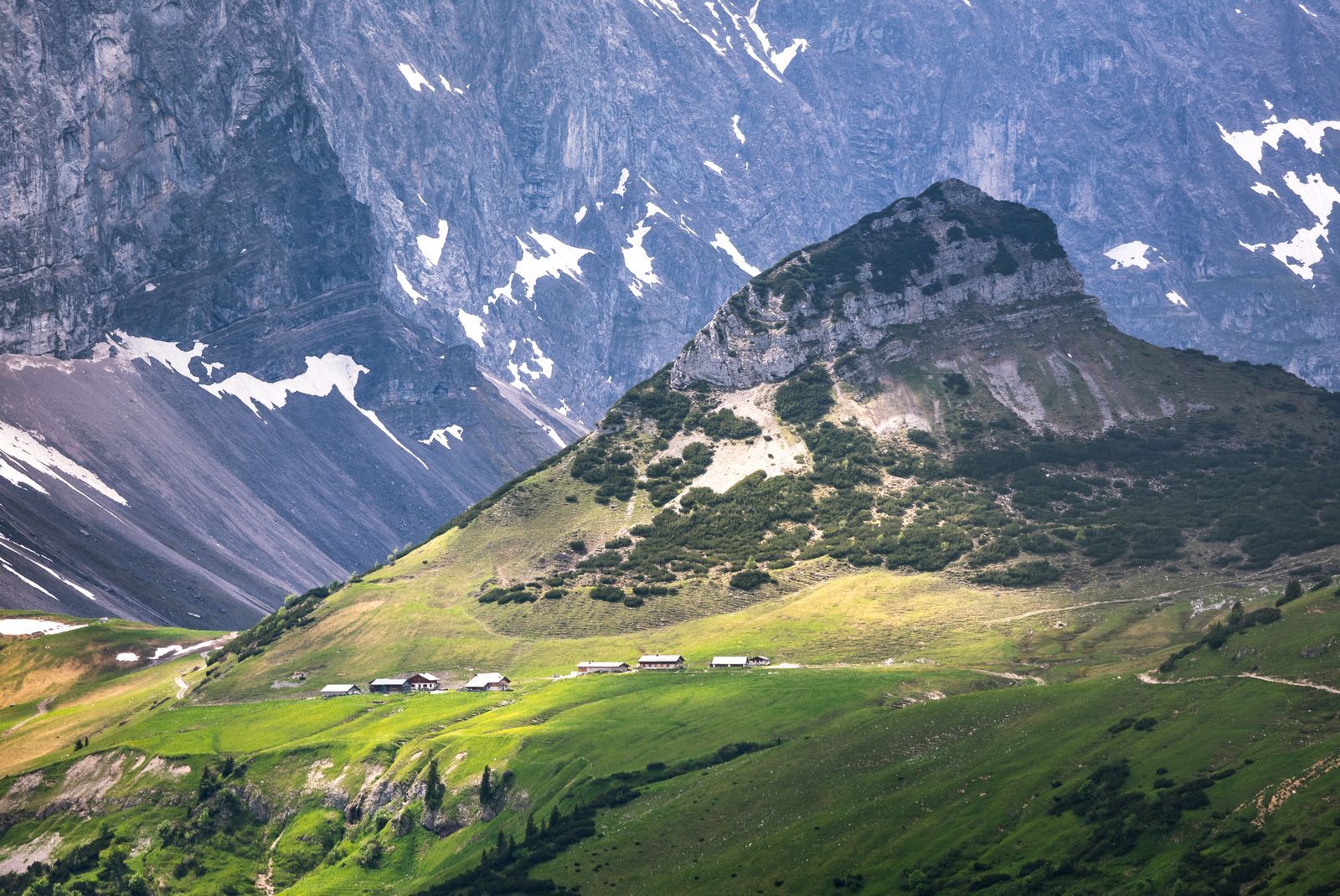
Photo: Marek Piwnicki / Pexels
Two Layers, One Walk: The Europe Hiking Checklist
Check off each step as you finish it. Your progress stays on this page.
0 of 8 complete
0% done
The National Champions: Start With the Home Agency
Switzerland sets the standard. The swisstopo app puts the federal mapping agency's own topographic maps on your phone, free, including offline use, and Swiss federal mapping is the benchmark the rest of the world quietly measures itself against: contours, paths graded by difficulty, and cartography of jeweler's precision, all from the source. If you walk in Switzerland, this app is not a recommendation, it is the terrain's official portrait. France's IGN plays the same role at home: the national agency's mapping, the famous blue-and-green TOP 25 series at 1:25,000, is available through IGN's own services and app ecosystem, and French walkers navigate by it the way the British navigate by the OS. The pattern repeats across the continent, Austria's federal mapping, Spain's IGN, Italy's regional and military mapping traditions, each with official channels of varying polish. The rule for the traveler is simple to state and worth the small effort it takes: before any trip, check the national agency of the country you are walking in, because its app, where it exists, will carry the authoritative path network, the maintained trail markings as mapped, and the contour detail the global platforms approximate. National apps share one weakness by design: they end at the border, sometimes mid-mountain. That is what the second layer of the stack is for.
The Border-Blind Platforms: Komoot, Wikiloc, Outdooractive
Three platforms compete to be the European walker's second layer, and they divide by temperament. Komoot is the planner: its strength is route building, turn-by-turn navigation for walkers and riders, and a recommendations engine fed by its community's highlights, and it sells its mapping by region, which suits travelers whose Europe is a series of specific trips. Wikiloc is the archive: a vast community library of recorded trails, millions of GPS tracks uploaded by walkers who actually walked them, searchable by area, length, and difficulty, and downloadable for offline following. When you want to know how real people cross a particular range, Wikiloc's tracks are field evidence no agency can match. Outdooractive is the institution: built on partnerships with tourism boards, Alpine clubs, and publishers, it carries official trail content for much of the German-speaking Alps and beyond, with the club hut systems integrated into its world. A defensible stack picks one as the cross-border layer and learns it deeply rather than dabbling in all three: the platforms differ in interface, but the discipline they serve is identical, plan the route, download everything for offline, and walk with the agency map underneath as the authority when the community line and the mapped path disagree. All three run on a mix of open and licensed data, and all three are businesses with premium tiers; judge them by offline reliability and the quality of their content where you walk, not by feature counts.

The Hut-to-Hut Test: What European Walking Actually Demands
The distinctively European hike is the hut-to-hut tour: days of walking between staffed mountain refuges, no tent, a bunk and a dinner waiting at the end of each leg. It is the perfect test of a map stack, because it loads every requirement at once. The route crosses high ground where weather turns and bail-out options matter, so the map must show not just the main path but the variants, the bad-weather alternatives, and the descent lines to the valley. It crosses borders on the classic tours, so the stack must not go blind at a frontier col. It depends on the huts themselves, their positions, their seasons, their approach paths, which is precisely the content the Alpine-club-fed platforms and the national maps carry best. And it runs for days beyond any signal's mercy, so the offline download must be complete, tested, and backed by power discipline. Run any candidate app through this test at home: plan a three-day hut tour, download it fully, and walk it in airplane mode on a local hill. The app that survives the rehearsal earns the Alps. The same standard, incidentally, is the one to apply at home in Britain with the UK's OS-based stack, and the reading skills that make any of these maps useful are taught in our guide to reading a map for hiking.
Putting the Stack Together, Country by Country
The working method, then, is a short pre-trip ritual. Name the countries the walk touches. For each, install the national agency's app or confirm its mapping inside your platform, and download the walk's full area plus a margin for the detour you have not imagined yet. Choose the one platform that will hold the route itself, the line you will follow, and keep the agency maps as the court of appeal beneath it. Save the hut, station, and bail-out points as waypoints in both layers, because redundancy in navigation is not clutter, it is the design. Check the border crossings of the route explicitly on the map, the place where one jurisdiction's path network hands over to another's is where digital maps most often thin out, and a col is a poor place to discover it. Europe rewards this twenty minutes like nowhere else on earth, because the raw materials, the agency mapping, the club content, the community tracks, are the richest anywhere. The walkers who get lost in the Alps in the app era are rarely lost for lack of data. They are lost for lack of a stack, one place where the route, the authority, and the offline copy agree, assembled calmly before the mountains were involved.
A Worked Example: One Walk, Three Countries
Make the stack concrete with the classic: a section of the Tour du Mont Blanc, from a French valley through an Italian col to a Swiss descent, three mapping jurisdictions in two days of walking. The route itself lives in the platform layer, Komoot or Outdooractive, where the TMB is published as a complete line with its stages and rifugi and mountain huts composed into days; that line, downloaded whole, is what the feet follow. Underneath it, the authority layer changes flag at the borders exactly as the sovereignty does: IGN's TOP 25 cartography on the French legs, the Italian mapping tradition on the Courmayeur side, and swisstopo's federal sheets, free in its app, for the Swiss descent into the Val Ferret's far end. The walker who built this stack at home experiences the borders as the mountains present them, as weather and language and lunch, not as a map failure at the col where the phone's coverage changes hands. The walker who trusted one global app experiences the same borders as a thinning of detail precisely where the terrain is highest. That difference, invisible in the valley, is the entire argument of this article in one walk: Europe's mapping wealth is national, its great journeys are international, and the craft is in carrying both truths in one pocket.
Hut Systems: The Layer the Maps Must Agree On
European walking runs on huts, and the hut layer is where the two layers of your stack must agree or the walk fails at dinnertime. The Alpine clubs, the CAF in France, the CAI in Italy, the DAV and ÖAV in Germany and Austria, the SAC in Switzerland, maintain thousands of staffed and unstaffed huts, and their locations, seasons, and booking arrangements are data, maintained with varying digital grace by each club. The platforms have absorbed most of this layer, plotting huts on the route line with the practical details attached, and the national maps plot them as ground truth. The planning discipline is to verify a hut twice, once in each layer: the platform for whether it is open, bookable, and on your line, the national map for where it truly stands against the terrain, because a hut two hundred meters of climb above the path is a different end to the day than the path-side shelter the platform's dot suggested. Multi-day walkers learn to build the itinerary hut first and route second, letting the roofs dictate the stages and the maps adjudicate the walking between them. It is the oldest logic in the Alps, older than any app, and the stack serves it best when both layers are consulted in their strength.
Related Guides
This guide does not stand alone. The travel and outdoors map skills guides below take up the questions it leads into:
- Best Hiking Map App for Australia: Gaia GPS, Avenza, AllTrails, and the Safety Apps: Australia changes the hiking app question.
- Best Hiking Maps for Apple Watch: Navigation That Lives on Your Wrist: A hiking map on your wrist is a different tool from one on your phone: the glance replaces the study session, and the deciding question is whether...
- Hiking Maps of Glacier National Park: The NPS Map, the Trails Illustrated Sheets, and the Sun Road: Glacier is not one valley but a small mountain kingdom split by the Continental Divide, and its maps divide the same way: a free official park map...
Frequently Asked Questions
What is the best hiking map app for Europe?
There is no single winner, because Europe's mapping is national. The strongest setup is a stack: the national mapping agency's app for the country you are walking in, swisstopo in Switzerland, IGN in France, plus one pan-European platform such as Komoot, Wikiloc, or Outdooractive for routes that cross borders.
Is the swisstopo app really free?
Yes. Switzerland's federal mapping agency publishes its topographic maps in its own app free of charge, including offline use. It is the benchmark national hiking app in Europe and the obvious choice for walking in Switzerland.
Which app is best for hut-to-hut hiking in the Alps?
Judge by the hut-to-hut test: complete offline downloads, bail-out routes and variants shown, hut positions and seasons, and no blind spots at borders. In practice that means a platform with Alpine club content, such as Outdooractive, or Komoot for planning, layered over the national agency maps as the authority.
Komoot or Wikiloc for finding routes?
Komoot is the stronger planner, with route building and navigation and curated highlights. Wikiloc is the stronger archive, a huge library of real recorded tracks from walkers. Many hikers discover a route on Wikiloc and plan and navigate it in their platform of choice.
Do I need mobile signal for these apps in the mountains?
No, provided you download first. National apps like swisstopo and the major platforms all support offline maps and routes. Download the whole walk plus a margin before you go, test in airplane mode, and carry power for multi-day tours.
Photo credits: Marek Piwnicki (Pexels); Patrick Droog (Pexels). Photos are served from this site; follow the credit to the library page for the original.