A hiking map is not read the way a road map is read. Nobody follows it turn by turn; you read it in advance to understand the day, then in glances to confirm the world is behaving as the paper predicted. That rhythm, deep read before, light checks during, is what separates walkers who navigate from walkers who merely carry a map. This guide teaches the whole rhythm: how to extract the route's shape and effort from contour lines before you leave, how to turn distance and climb into an honest time estimate, how to navigate by the landscape features the map names for you, and the ten-second routine at every junction that prevents the classic walk-ending error of confidently following the wrong path. It assumes a proper topographic map, paper or a good offline copy; choosing and sourcing one is covered in our guide to hiking maps, while this article is about the reading itself.
Home / Map Skills for Travel and Outdoors
How to Read a Map for Hiking: Contours, Timing, and the Junction Routine

Photo: Vitaly Gariev / Pexels
Read It on the Trail: The Hiking Map Checklist
Check off each step as you finish it. Your progress stays on this page.
0 of 8 complete
0% done
The Pre-Walk Read: Learn the Day Before You Walk It
Spread the map the evening before and interrogate it in a fixed order. First, the route's skeleton: trace the whole path with a finger, naming the sequence of places, valleys, ridges, woods, villages, so the day has a story before it has footsteps. Second, the high and low points: find the route's maximum elevation and its biggest climbs and descents, because those, not the distance, decide how the day feels. Third, the escape options: where could you shorten the walk, bail to a road, or drop to a valley if weather or energy fails; knowing the exits in advance is what makes them usable under stress. Fourth, water and shelter: streams the route crosses, buildings, anything relevant to the forecast. Fifth, the finish: what the last junction and the arrival look like, since tired walkers make their worst navigation errors in the final hour. This read takes fifteen minutes and buys you the day's most valuable asset: expectations. On the trail, navigation is mostly comparing the world against expectations and noticing early when they diverge.
Contours Are the Effort Graph
Contour lines, the brown threads joining points of equal elevation, are the map's way of drawing effort. Read them with three rules. Spacing is steepness: contours packed tight are a steep slope, contours spread wide are gentle ground, and a route crossing many lines at right angles is climbing hard while a route threading along between two lines is contouring, walking the level. Shape is landform: contours bent into V shapes point uphill toward the valley's head, with the stream in the V's throat, while contours bulging outward mark a spur or ridge nose; a route following a ridge reads as a line along a chain of outward bulges with falling ground both sides. Closed loops are summits, and loops with hatch marks are depressions. Now convert the picture into effort: count the contour lines your route crosses upward and multiply by the contour interval printed in the map's legend, and you have the total climb, the number that predicts your legs' evening far better than distance does. A twelve-kilometer walk with two hundred meters of climb is a stroll; the same distance with nine hundred meters of climb is a mountain day. Our deeper treatment of contour lines on a map covers the full grammar; for hiking, spacing, shape, and the climb count are the working vocabulary.
Time It Honestly: Naismith's Rule
The classic estimator is Naismith's rule, the Scottish mountaineer's formula still taught today: allow one hour for every five kilometers of distance, plus ten minutes for every hundred meters of ascent. A ten-kilometer route with six hundred meters of climb prices at two hours plus one hour, three hours of moving time, before stops, photographs, lunch, and the group's slowest member have their say. Treat the output as a floor, not a promise: rough ground, heavy packs, heat, snow, and descent on tired knees all tax the estimate, and descents steep enough to need care can be slower than the climb that earned them. The map supplies both inputs, distance from the scale, climb from the contour count, which is why honest timing is a map-reading skill rather than a fitness guess. Build the habit of stating the estimate out loud at the start, "three hours moving, call it four with stops," and checking the day's midpoint against it; a walk running an hour behind its Naismith price at halfway is telling you to use one of the escape options you found in the pre-walk read, while there is still daylight to enjoy being right. Timing disciplines like this pair with the map scale skills that turn ruler millimeters into real kilometers.
Navigate by Handrails and Catching Features
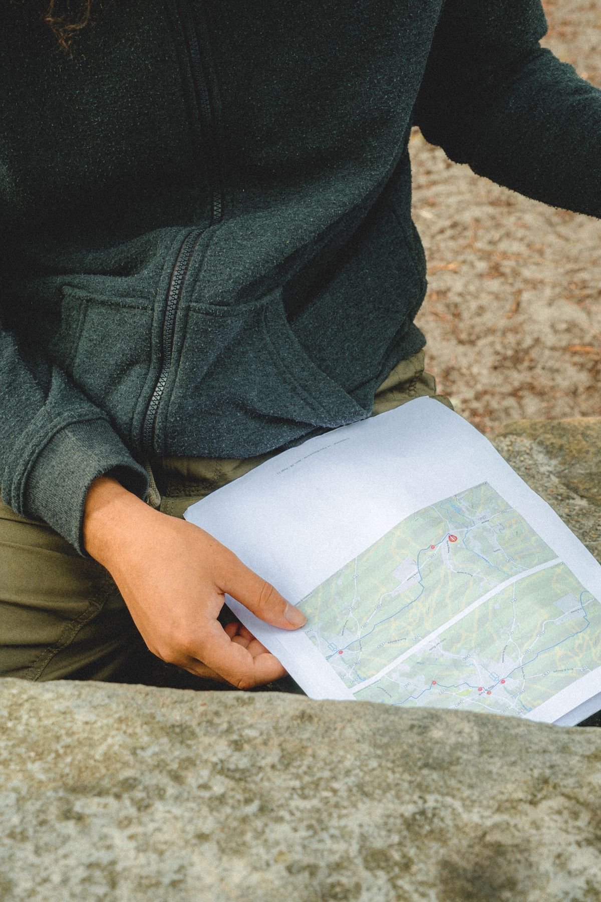
On the trail, the professional technique is to navigate between features, not along the path's every wiggle. A handrail is a linear feature you can follow or keep in contact with: a stream, a ridge, a forest edge, a wall, a track running parallel to your direction. Walking with a handrail means the map's job reduces to confirming the feature stays where it should be relative to you, which a glance every few minutes settles. A catching feature is the opposite bookend: a big, unmissable feature beyond your target that tells you if you have overshot, the river beyond the junction, the main road past the turn, the summit ridge above the col. Before each leg, name both: "follow the stream on our left; if we reach the forestry road we have gone too far." That single sentence, formed from the map in advance, converts navigation from continuous vigilance into occasional confirmation, and it is how experienced walkers can enjoy the walk itself while never being lost in any meaningful sense: at every moment they know the last confirmed feature, the next expected one, and the catcher behind the target. Orient the map to the ground as you do this, north on paper aligned with north on Earth, by compass or by matching the visible features; our guide to orienting a map teaches that alignment until it becomes reflex.
At Every Junction: The Ten-Second Routine
Junctions are where walks go wrong, because paths on the ground multiply beyond what any map admits and confidence outruns evidence. Institute a routine and never skip it. Stop, actually stop, feet still. Orient the map. Identify the junction on paper and count the exits in both worlds: the map says three paths leave this point, the ground shows three, good; a mismatch means you are not where you think, and the correct move is to resolve it here, not after ten minutes of hopeful walking. Choose the exit by its direction and its character, the compass bearing off the map and the path's look, rising, falling, wide, faint, and state the next confirmation feature aloud: "this one, climbing, and we should cross a stream in five minutes." Then walk, and let the confirmation arrive. The routine costs ten seconds and a small amount of pride, and it eliminates the dominant failure mode of recreational navigation, which is not ignorance but momentum: the refusal to stop at the one moment stopping was cheap. Read this way, a hiking map stops being a picture of the walk and becomes what it was designed to be: a prediction machine you carry, checked against the world at every feature, trusted exactly as much as it keeps being right.
When the Map and the Ground Disagree
Sooner or later the world declines to match the paper: a path has been rerouted, a forest felled, a bridge washed out, a new track bulldozed that no edition shows. The disagreement is information, and the reading skill is to arbitrate it correctly. Trust the landforms over the lines: contours describe geology that changes on a timescale of millennia, while paths are administrative facts that change with a land manager's budget, so when the track network confuses you, navigate by ridge, stream, and slope until the paths make sense again. Trust recent human evidence over old print for facilities: a map's bothy, bridge, or water source is a claim about the past, and its absence on the ground outranks its presence on the paper. And when you are genuinely unsure of position, the map offers the oldest recovery: identify two visible features, a summit, a lake, a road bend, find them on paper, and let their geometry place you, the resection that navigators have used for centuries. Then mark the discrepancy on the map itself, in pencil, with the date. A hiking map that accumulates its owner's corrections becomes more truthful with every walk, which is the deepest sense in which reading a map for hiking is a practice rather than a lesson: the paper teaches the terrain, the terrain corrects the paper, and the walker who shuttles honestly between them is, in the only useful meaning of the word, never lost.
Related Guides
This guide does not stand alone. The travel and outdoors map skills guides below take up the questions it leads into:
- Best Hiking Maps for Apple Watch: Navigation That Lives on Your Wrist: A hiking map on your wrist is a different tool from one on your phone: the glance replaces the study session, and the deciding question is whether...
- Hiking Maps Near Me: Find Trails Worth Walking, Starting From Your Own Door: Near me is the most honest search in hiking and the worst served, because the trail five miles from your door is invisible to the...
- Hiking Maps in the UK: OS Explorer vs Landranger, Harvey Sheets, and Grid References: Britain is the most thoroughly mapped walking country on earth, and its system is paper at heart: Ordnance Survey sheets at two scales, Explorer...
Frequently Asked Questions
What do contour lines tell a hiker?
Steepness, landform, and total climb. Tight spacing means steep ground, wide spacing means gentle; V shapes point up valleys, bulges mark spurs and ridges; and counting the lines your route crosses, times the contour interval, gives the total ascent that predicts the day's effort.
What is Naismith's rule for hiking time?
One hour per five kilometers of distance, plus ten minutes per hundred meters of ascent. It estimates moving time on reasonable ground; add margin for stops, rough terrain, weather, and the group's pace, and treat it as a floor for planning rather than a promise.
What are handrails and catching features?
A handrail is a linear feature, a stream, ridge, or forest edge, that you follow or keep beside you so position stays confirmed. A catching feature is an unmissable feature beyond your target, like a main road past a turn, that tells you immediately if you have overshot.
How do I avoid taking the wrong path at a junction?
Use a fixed routine: stop, orient the map, count the exits on the map and on the ground and make them agree, choose your exit by direction and character, and name the next feature that will confirm the choice. Most wrong turns come from walking through junctions on momentum.
Should I orient the map every time I read it?
Yes. An oriented map, aligned with the real world, turns left and right into certainties and makes features recognizable at a glance. An unoriented map invites the mirror-image errors that send walkers down the wrong valley.
Photo credits: Vitaly Gariev (Pexels); Mathias Reding (Pexels). Photos are served from this site; follow the credit to the library page for the original.