The best hiking map is the one that gets used, and the trail that gets used is the one near home. Yet searching for hiking near you runs into an internet organized around the famous: the national parks, the bucket-list summits, the trails with a million photographs. The woods at the edge of your own town, the rail trail behind the industrial estate, the river path the locals walk every Sunday, are documented thinly or not at all by the destination machine. Finding them takes a method rather than a search box, and this guide is that method. It starts from a pin dropped at your actual door, ranks the discovery tools by how much their information can be trusted, filters candidates by the four factors that decide whether a walk is good, and verifies the winner against the land manager who actually runs the ground. It is the local application of the doctrine in our hiking maps guide and our trail maps guide: authority first, enthusiasm second, and the walk itself as the final review. The reward for the method is the thing the famous-trail internet cannot give you, a local list, yours, that turns any free Saturday into a walk out of your own front door.
Home / Map Skills for Travel and Outdoors
Hiking Maps Near Me: Find Trails Worth Walking, Starting From Your Own Door
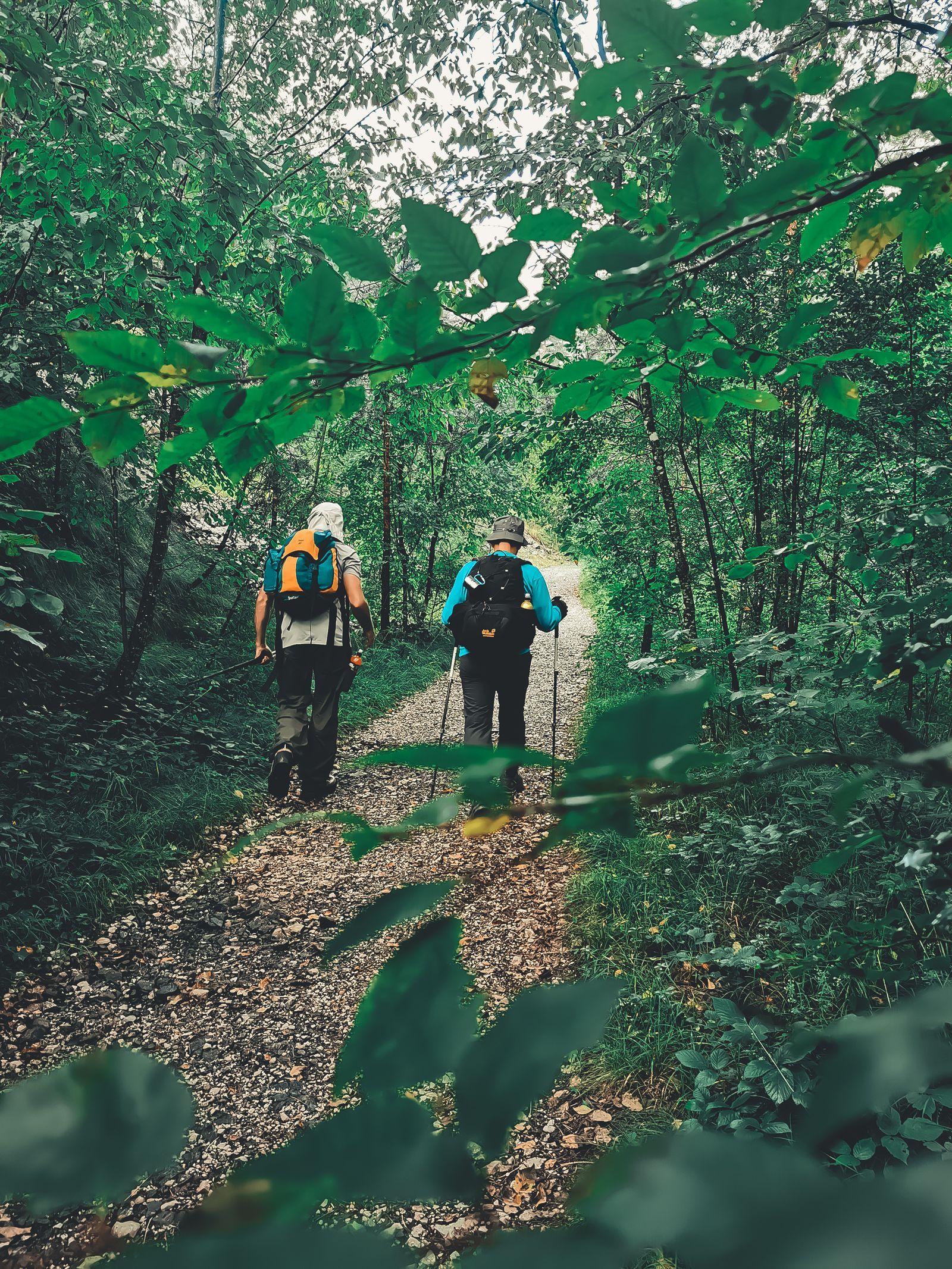
Photo: Pero Živković / Pexels
Start From Your Door: The Near Me Trails Checklist
Check off each step as you finish it. Your progress stays on this page.
0 of 7 complete
0% done
Start From a Pin, Not a City Name
Every near-me search fails or succeeds at its origin point. Type your city's name and the tools answer from the city center, the town hall, the centroid of a boundary, which may be five miles and a whole landscape away from your door; the trails they call near are near a fiction. Drop a pin at your actual home instead, or as near as you are comfortable marking, and search from there. The second correction is the radius. Decide the drive you honestly accept for a day walk, twenty minutes, forty, an hour, and set the search to that circle; a radius you choose beats the vague near that returns a summit three hours away beside a path behind your street, as if distance were a rumor. In the map apps this is mechanical: search from the pin, sort by distance, and let the circle discipline the list. In the discovery apps it is the location and distance filters, set before you look at a single photograph. The principle generalizes beyond hiking: local search is a geometry problem before it is a quality problem, and the geometry must be drawn from your life, your door, your Saturday, your fuel, or the results will be somebody else's local, ranked by somebody else's fame.
The Discovery Tools, Ranked by Authority
Four kinds of source will offer you trails, and they are not equals. At the top sit the land managers themselves: the park service, the forest district, the county and municipal park systems, the land trusts, whose sites list the trails they maintain with the maps they publish, and whose information carries authority because they can close the trail you are reading about. Next, the rail trail and trail inventories, such as TrailLink in the United States, which catalog the converted railway corridors and multi-use paths that are often the best near-home walking of all, flat, long, and hiding in plain sight. Third, the discovery apps, above all AllTrails and its peers, whose strength is breadth and the crowd's photographs and reviews: superb for finding that a trail exists, weaker as the last word on its condition, because reviews age and enthusiasm inflates. Fourth, Google Maps itself, searched properly: the words trailhead, nature preserve, and park, queried from your pin, surface the small green infrastructure of your area with a completeness that surprises people, because the map knows the trailheads even where no hiking site has written them up. Work the list in that order of trust but in the order of convenience that suits you, discovering in the apps and confirming with the managers, which is the pattern the next sections formalize.
Filter Like You Mean It: Length, Surface, Climb, Season
A candidate list becomes a plan through filters, and four of them decide most days. Length first, stated as a range you will actually enjoy rather than aspire to, because the near-me list is for the Saturdays you have, not the hiker you intend to become. Surface second: paved rail trail, gravel, dirt singletrack, boardwalk, each a different walk in different weather, and the mud season makes the choice for you if you let it. Elevation third, the quiet number that separates a stroll from a climb; near-home terrain hides surprising hills, and a modest mileage with real climb is a different afternoon than the same miles flat. Season fourth, the filter nobody applies until it applies to them: trails close for hunting seasons, flood in spring, bake in August, and host their wildflowers or their fall color for a few weeks a year, so the same path is four different walks and the calendar is one of its maps. The discovery apps expose the first three as literal filters; set them before browsing, not after falling for a photograph. The season filter lives in the land manager's pages and in recent reviews, which is one more reason the verification step below is not optional garnish but part of the method.
Verify Against the Land Manager Before You Drive
The gap between the internet's trail and the ground's trail is where Saturdays go to die: the lot closed for logging, the bridge out since the storm, the preserve that requires a permit booked ahead, the trailhead that moved. Verification is one short visit to the authority's own page for the place you chose, checking four things: that the trail is open, that parking exists and what it costs or requires, the rules that shape the walk, dogs, bikes, swimming, hours, and any seasonal closure in force. This takes minutes and it outranks every review, because the manager's page is the only source that can actually close the gate. Where a strong local institution exists, it can serve as the verifier and the discovery tool in one: Washington's hikers, to take the standing example from our Washington State guide, plan from the Trails Association's pages because its trip reports are filed by the community weekly. Every region has some version of that local layer, a hiking club, a conservancy, a friends-of group, and finding yours is part of building the local list. The famous apps will still be there for discovery. The authority decides whether the discovery is true today.
Download Before the Trailhead: The Worst Signal Is at the Start
The trailhead paradox: the place your navigation matters most is the place your signal is worst, because trailheads sit at the ends of roads, in valleys and forests, where coverage goes to die. So the last step of the method happens at home, on Wi-Fi: download the trail's map into your app of choice, save the land manager's page or PDF, and pin the trailhead in your road app so the drive itself is navigable offline. Carry the route on the phone as a downloaded thing, not a searched thing, and the walk starts with the map already working, the position dot standing on the path, the junction decisions ahead visible. This is the same offline doctrine this site teaches for whole countries, in our guides to places as far apart as Bali and Iceland, shrunk to a Saturday: the map must be aboard before the signal is gone, and near home the signal goes at the exact moment of need just as reliably as it does in a foreign valley. Add the paper habit where the place offers it, the manager's printed trail map from the kiosk, photographed if not pocketed, and your navigation has the redundancy that turns a wrong turn into a story instead of a problem.
Build the Local List: The Map That Becomes Yours
The method's real product is not one walk but a list. Keep every verified candidate, walked and un-walked, in a saved list in your app or a note on your phone, with your own line after each walk: the surface after rain, the lot at nine on a Sunday, the loop that is better clockwise. Within a season, the list becomes local knowledge of the kind no platform sells, calibrated to your door, your legs, and your weather. Grow it by the same method, a new ring of radius when the first is walked out, a new landlord's inventory when a county park opens, a rail trail segment as the conversions extend. And let the list change what near means. Most people who run this method discover that their area, the one they would have described as having no hiking, holds a dozen walks inside their honest radius, because the trails were never missing; only the searching was. The map near you was always there. It needed a pin, a filter, a check, and a download, and now it has them.
The Hotel Variation: Near Me, Somewhere Else
The method travels. On any trip, the free half day in an unfamiliar city poses the same question with a different pin: what walking is near this hotel, this conference, this relative's spare room. Run the identical sequence from the new origin: pin at the door you will actually leave from, radius set by the time you truly have, discovery in the apps, verification on the local manager's page, download before you set out. Travelers who do this discover the green infrastructure of cities they would otherwise know only through their famous sights: the river path behind the business district, the rail trail out of the suburbs, the preserve where the locals walk their dogs at dawn. It is the same reward as at home, a place known the way its residents know it, bought with the same four steps. The list you build at home teaches the method; the method, once learned, works from any door on earth, which is why this article treats a humble search phrase as a skill worth a guide of its own.
Related Guides
The closest companions to this guide are the travel and outdoors map skills guides below. Each one picks up a thread this page starts:
- Route Planner for Multiple Stops: When to Let an Optimizer Order Your Stops, and When Your Own Order Wins: Google Maps will happily route nine stops in exactly the order you typed them, including the wasteful one.
- Running Route Planner: Loops From Your Door, the Distance Drift, and GPX to Your Watch: A running route planner answers the runner's question, "give me 10 kilometers from this door," in two ways: loop generators that invent a route of...
- How to Use a Compass Without a Map: Bearings, Back Bearings, and Dead Reckoning: A compass without a map cannot tell you where you are, but it can do the two jobs that matter off trail: hold a direction across featureless...
- Hiking Maps Online: Plan on the Big Screen, Then Hand the Route to Your Phone: find and plan the route on the big screen
Frequently Asked Questions
What is the best app for finding hiking trails near me?
Use the discovery apps, such as AllTrails, for breadth, but treat them as the finder, not the authority. Confirm the chosen trail on the land manager's own page for openings, parking, and rules, and download the route before you leave. Where a strong local institution exists, a state trails association or conservancy, its listings often beat the national apps for accuracy.
Why do near me searches show trails that are not near me?
Because they measure from your city's center or from a loose location fix, and rank by fame as much as by distance. Drop a pin at your actual home, set a radius based on the drive you accept, and sort by distance. The list changes completely when the geometry starts from your door.
How do I know a trail is open before I drive there?
Check the land manager's page for the park, forest, or preserve: openings, closures, parking, permits, and seasonal restrictions live there and nowhere else with authority. Recent trip reports and reviews help for conditions, but only the manager can close a trail, so only the manager's page settles the question.
What filters matter most when choosing a local trail?
Length you will honestly enjoy, surface for the season's weather, elevation gain, and seasonal factors like hunting closures, flooding, and heat. Set the first three in the app before browsing photographs, and check the fourth on the manager's page. Most disappointing walks are filter failures, not trail failures.
Should I download the map for a trail close to home?
Yes. Trailheads reliably have the worst signal of the whole trip, since they sit at the ends of roads in valleys and forests. Download the route and save the manager's map while you are on home Wi-Fi, and pin the trailhead for the drive. The offline habit matters as much ten miles from home as in another country.
Photo credits: Pero Živković (Pexels); Daniel Eliashevsky (Pexels). Photos are served from this site; follow the credit to the library page for the original.