Driving planners think in destinations. Running planners think in distance: the workout says 10 kilometers, the long run says 26, and the route's job is to deliver that number starting and ending at your door. That inversion produces a tool category with its own logic, its own failure modes, and its own small craft. This guide teaches it: how the loop generators work, why their distances drift, the three route shapes and when each wins, and the checks that separate a route that looks good on screen from one that runs well on the ground. The driving side of the family, multi stop and road trip planning, lives in our Google Maps route planner guide; everything here is on foot.
Home / Map Skills for Travel and Outdoors
Running Route Planner: Loops From Your Door, the Distance Drift, and GPX to Your Watch

Photo: Liliana Drew / Pexels
Interactive map
Distance Measurer: Check the Loop Before You Run It
Trace the loop your generator produced and compare its honest total with the distance you asked for. A few percent of drift is the street network talking; a large gap means the route needs a redraw.
Total straight-line distance, 0 points
Click the map to start
Distances are great-circle (haversine, mean Earth radius 6,371 km): the shortest path over the surface, not a road or trail distance. Map data © OpenStreetMap contributors.
The Two Kinds of Planner
Loop generators take a start point and a distance and invent the route. Give one your hotel door and "8 km" in a strange city and it returns a loop, ready to run, in seconds. They are built on OpenStreetMap data: the street and path network is the raw material, and the generator assembles a circuit from it. The best of them let you nudge the shape, regenerate for a different answer to the same request, and prefer or avoid hills and trails.
Click to draw planners are the manual instrument: you click waypoints on the map and the planner routes between them along streets and paths, updating distance, elevation profile, and surface breakdown live as you build. This is the tool for crafting a specific run: the river path to the bridge, the park loop, home by the quiet streets. It costs minutes instead of seconds and repays them in control.
Most runners end up using both in sequence: generate for discovery, especially in new places, then hand edit or redraw the promising loop in a click to draw planner before committing it to the watch.
Why the Generated Loop Never Matches the Distance
Ask for 10.0 km and receive 9.6, or 10.4, and the generator is not broken; it is honest about geometry. Internally, a loop generator works roughly like this: it places a ring of waypoints around your start at a radius estimated from your target distance, then routes between consecutive waypoints along the real street network and sums what comes back. Streets are not a circle. The routed path bends, shortcuts, and detours around the network's actual shape, one way systems, missing links, and unrunable roads bend it further, and the sum lands where it lands. Good generators iterate, adjusting the ring and re routing until the total approaches the target, but the street grid sets the tolerance: in a dense grid the match is close, in sparse suburbs with curving crescents it can miss by several percent. Treat the first answer as a draft. Nudge the start point a street over, regenerate, or accept 9.7 as today's 10 and add the difference at the end, where a short out and back on your own street closes any gap exactly.
The Three Route Shapes, Compared
- Loop. Out one way, home another, no repeated ground. The runner's default for good reason: variety, a sense of journey, and no psychological U turn. Its risk is commitment: at the far point you are exactly as far from home as the route can put you, with tired legs and no shortcut that is not a taxi.
- Out and back. One path, turned around at the halfway distance. Boring on paper and underrated in practice: the distance is perfectly adjustable (turn at 5 km for 10, at any point for any total), the return is known ground, and pacing feedback is built in, since the second half can be compared with the first. For tempo and long run discipline, this is the professional's shape.
- Point to point. Start and finish in different places: run to the station, run home from work, the hotel to the airport hotel. Logistically hungry (transport at one end, a bag at the other) and disproportionately memorable; travel running is built from these.
Choose by the day's purpose. Exploration wants loops, measurement wants out and back, adventure wants point to point. The planner serves all three, but it cannot choose, and runners who let the generator's default loop shape choose for them run one kind of run forever.
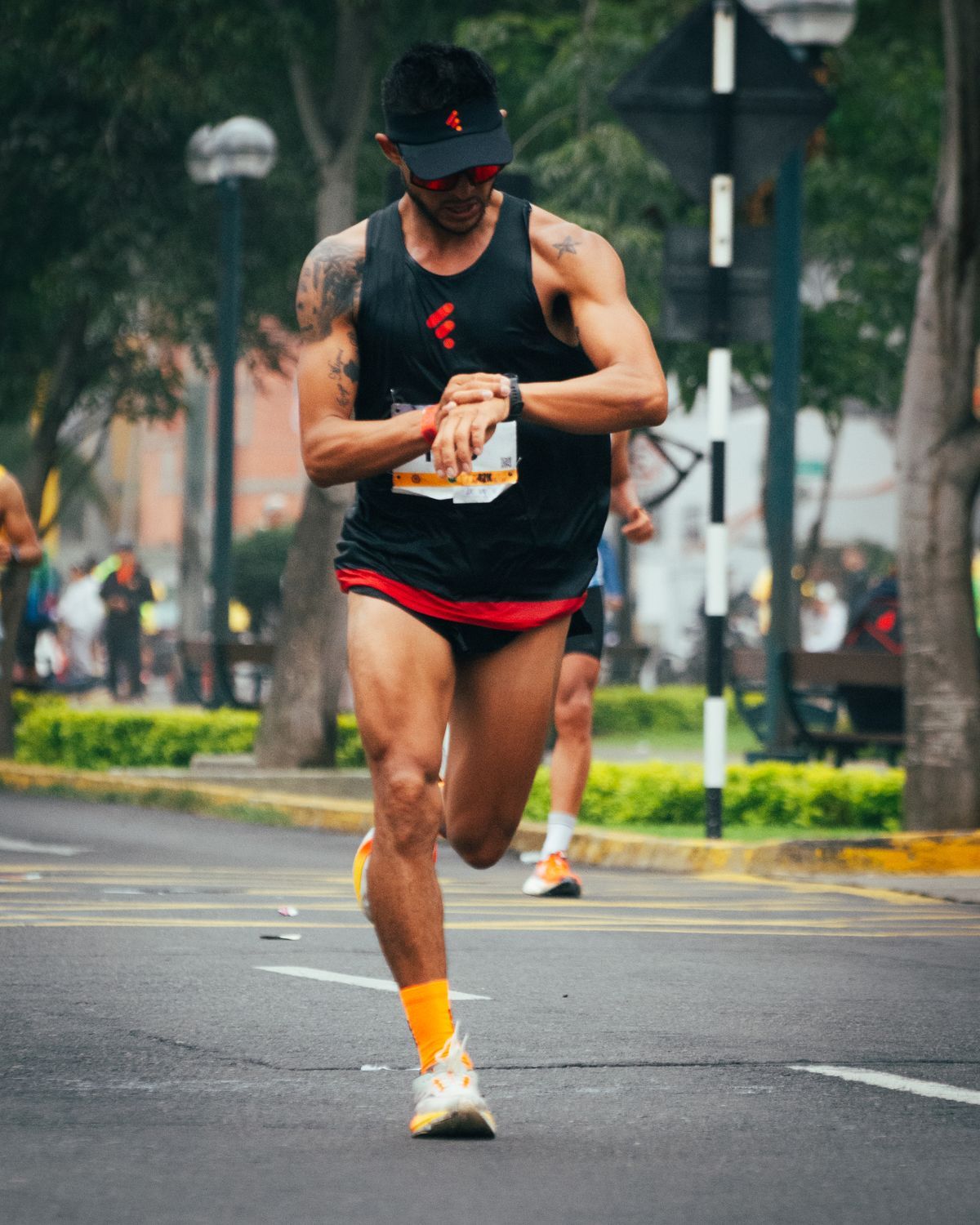
The Checks That Make a Route Runnable
A generated or drawn route deserves sixty seconds of suspicion before it meets your legs:
- Surface. Read the surface breakdown the planner reports. A loop that is 30 percent trail is a different run in road shoes after rain, and a route that quietly uses a gravel canal path changes both pace and footwear.
- Elevation. Read the profile, not just the total. One wall at kilometer 8 and the same meters spread evenly are different workouts wearing the same number.
- The network's lies. OSM based routing inherits OSM's gaps: a footpath that exists on the map and not on the ground, a private road routed as public, a staircase, a freeway service road suggested with total confidence. Zoom into the two or three least familiar segments and eyeball them against satellite view; the suspicious kink in the line is where the route will surprise you.
- Crossings and light. A route that crosses the same arterial four times costs minutes and temper at the lights. At dawn or dusk, prefer the lit and populated version of the same loop over the scenic dark one.
- The far point. On a loop, stand mentally at the farthest point and ask the tired question: from here, what is my bail out? A bus route, a main road, a known street. Loops with an answer run relaxed; loops without one run tense.
GPX: The Handoff to Your Watch
The route earns its keep when it reaches your wrist. Planners export GPX, the universal route file, and running watches and apps import it: send the file to your watch's companion app or connect the watch and drop the file in, and the route appears as a course you can follow with turn prompts and off course warnings. That handoff is what turns planning into navigation: instead of memorizing a new city's loop or running with a phone in hand, you follow the line. Do the export even for local routes you half know; the watch course frees your attention for the run itself, which is where the run was supposed to happen. And when the watch and the planner disagree about distance by a percent or two, believe neither absolutely: they measured the same streets with different rounding, and your legs, in the end, keep the only honest total. For how the watch side of that measurement works, our guide to how GPS works on a Garmin watch covers the satellite settings that decide the track you bring home.
The Travel Case: Running a Strange City
The planner earns its keep most dramatically away from home, where it converts a hotel in an unknown city from a treadmill sentence into a run. The method: generate two or three loops from the hotel door at your target distances the night you arrive, screen them with the checks above (the satellite pass matters doubly where you cannot smell a wrong turn), export the best to the watch, and run it early, when the city is quiet and its streets belong to runners and bakers. Local knowledge shortcuts exist, most cities have a river, a park circuit, or a waterfront that every local runner uses, and a generator's loops will often find it on their own, because the path network funnels good routes into existence. Respect the local facts the planner cannot know: neighborhoods a concierge quietly steers you away from, heat that turns a noon loop into a medical event, altitude in the mountain cities that rewrites your pacing by the second kilometer. The planner knows the streets. You supply the judgment, and between the two, travel stops being an interruption to training and becomes its best chapter.
Keep the Good Ones: Building a Route Library
Generated loops are disposable by design, and your best routes should not be. When a loop runs well, save it deliberately: export the GPX into a folder or the planner's own library, name it by distance and character ("River 12, flat", "Hill 8, north") rather than by date, and note the one thing future you will want to know, where the water fountain is, which gate locks at dusk. A library of a dozen proven loops at graduated distances quietly becomes your training infrastructure: the workout names a distance, the library answers it, and planning time collapses to zero on the tired evenings when it used to eat the run. Runners keep shoes longer than routes. Reverse that, and the planner's real product reveals itself: not a route, but a repertoire.
Related Guides
This guide does not stand alone. The travel and outdoors map skills guides below take up the questions it leads into:
- Route Planner for Multiple Stops: When to Let an Optimizer Order Your Stops, and When Your Own Order Wins: Google Maps will happily route nine stops in exactly the order you typed them, including the wasteful one.
- How to Use a Compass Bezel on a Watch: The Seiko Method, Both Hemispheres: A compass bezel turns an ordinary analog watch into a sun compass, if you know the setting ritual: point the hour hand at the sun, put the south...
- Road Trip Planner: The Method for Planning a Trip That Drives Well: A road trip is decided before the engine starts: by the shape you choose, the daily driving limit you respect, and where you sleep.
Frequently Asked Questions
How do running route planners create a loop of a specific distance?
They work on OpenStreetMap street and path data: place a ring of waypoints around your start point at a radius estimated from the requested distance, route between the waypoints along the real network, and sum the result, adjusting and retrying to approach your target. Because streets are not a perfect circle, the final loop usually lands a few percent off the request, closer in dense street grids and looser in sparse suburbs.
Why is my generated route 9.6 km when I asked for 10 km?
The street network decides. The routed path between the generator's waypoints bends around real blocks, one way streets, and missing links, so the sum rarely equals the request exactly. Regenerate, nudge the start point, hand edit the loop in a click to draw planner, or run the difference as a short out and back at the end. A few percent of drift is normal behavior, not an error.
Which is better for training, a loop or an out and back?
They train different things. Loops give variety and a journey's psychology but commit you at the far point. Out and back routes give exact distance control (turn around at half), known ground for the return, and built in pacing comparison between halves, which suits tempo runs and measured long runs. Most runners use loops for easy and exploratory days and out and back for sessions that need control.
Can I send a planned route to my running watch?
Yes. Export the route as a GPX file from the planner and import it through your watch's companion app or a direct connection; it appears on the watch as a course with turn prompts and off course alerts. This works for generated loops and hand drawn routes alike, and it is the step that turns a plan on a screen into navigation on the run.
What should I check before running a generated route?
Surface (the trail percentage changes shoes and pace), elevation profile shape (not just the total), any unfamiliar segments against satellite view for map errors like private roads or missing paths, major road crossings, and the bail out options at the loop's far point. A minute of checking prevents the three classic surprises: mud, a wall of a hill, and a path that does not exist.
Photo credits: Liliana Drew (Pexels); Christopher Welsch Leveroni (Pexels). Photos are served from this site; follow the credit to the library page for the original.