Ask a phone how it positions and there is one answer. Ask a Garmin and the honest answer is: which mode did you pick? Garmin exposes the satellite machinery to the user as a set of per activity choices, because a watch that must survive a two hour run and a two week expedition cannot spend power the same way on both. This guide decodes that menu and the invisible file behind it. The universal foundation, constellations, signals, and trilateration, lives in our explainer on how GPS works; everything here is Garmin's particular machinery on top of it.
Home / GPS and Navigation Guides
How GPS Works on a Garmin Watch: Satellite Settings, SatIQ, and the CPE File
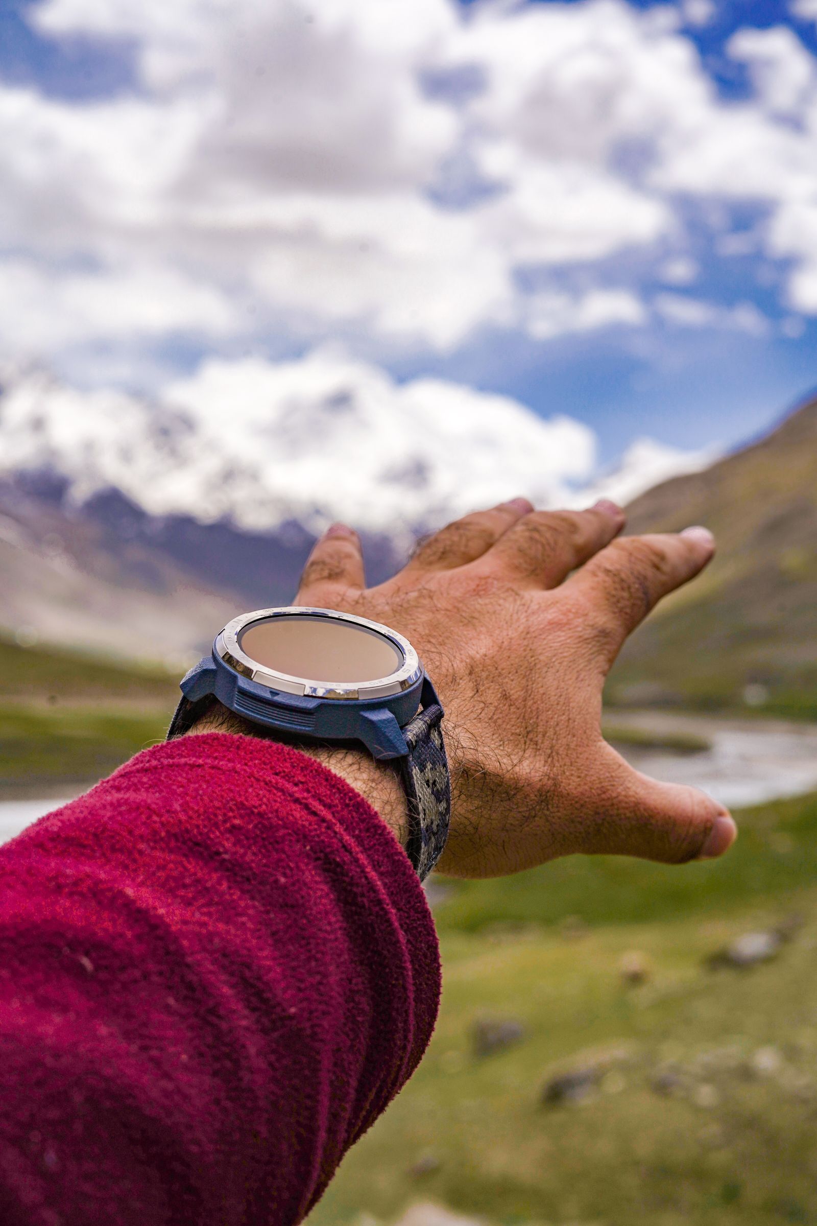
Photo: Syed Qaarif Andrabi / Pexels
Interactive tool
Garmin Satellite Settings: Pick by Activity
Check off each step as you finish it. Your progress stays on this page.
0 of 6 complete
0% done
More Than GPS: The Constellations on Offer
Despite the shorthand, a modern Garmin listens to more than the American GPS constellation. Depending on model and setting, it can also use GLONASS, Galileo, and other global systems, collectively called multi-GNSS. More constellations means more satellites in view at any moment, which matters most where the sky is a slot: deep valleys, dense forest, and city centers. The watch does not ask you to pick constellations one by one. It bundles them into the system settings below, and those bundles are the real interface.
The Satellite Settings, Decoded
In each activity's settings, under Satellites, current Garmin models offer a ladder of options. From the lightest to the heaviest draw:
- GPS Only. The original constellation alone. The lightest satellite load, adequate under open sky, and the first to struggle in canyons and canopy.
- All Systems. GPS plus the other constellations, on the standard frequencies. More satellites in view, better resilience in partial obstruction, moderately higher battery cost.
- All Systems + Multi-Band. All constellations plus the second frequency band (L5) where offered. The dual-frequency reception lets the watch reject reflected signals in cities and steep terrain. This is the accuracy ceiling and the battery floor: the best tracks a Garmin can record, at the fastest drain.
- SatIQ. Garmin's automatic mode, which switches the satellite configuration on the fly as conditions change, opening up the heavier modes when the signal environment degrades and relaxing when the sky is clear. It exists for everyone who does not want to think per activity: near Multi-Band judgment without Multi-Band's constant cost.
- UltraTrac. A power saving mode that records position far less frequently, checking in periodically rather than continuously, and leaning on the watch's internal sensors between fixes. Tracks get coarse and distances approximate, in exchange for dramatically longer recording life.
- Expedition (on models that offer it). A trekking mode that samples position at long intervals, built for multi day journeys where a breadcrumb of the route matters more than its precision.
The menu is per activity, which is the detail new owners miss: your Run profile and your Hike profile can hold different satellite settings, and a change made inside one activity does not rewrite the others. Set the ladder per sport, once, deliberately.
The CPE File: Why Syncing Decides Your Start Line Wait
Every satellite broadcasts its own orbital data, but downloading that ephemeris from the satellites themselves is slow, on the order of many seconds to minutes of clear reception. Watches cheat with a file: the CPE file (Connected Predictive Ephemeris), a package of predicted satellite positions for the coming days, delivered to the watch in advance. With a current CPE file, the watch knows roughly where every satellite will be, and a fix that could take a minute takes a few seconds. With an expired one, you stand at the trailhead watching the GPS bar crawl.
The file refreshes when the watch syncs: through Garmin Connect on your phone, through Garmin Express on a computer, or over Wi-Fi on models that have it. It expires after a number of days, and it goes stale early if you travel a long distance, because the predictions it carries matter most for the region you synced in. The two classic symptoms of a stale file are slow fixes and a watch that feels inaccurate for the first minutes of every activity. The fix is embarrassingly simple: sync the watch the day before anything that matters, and sync again after a flight. Racers who charge their watch but never sync it are maintaining the battery and starving the brain.
Accuracy in the Real World: What Moves the Needle
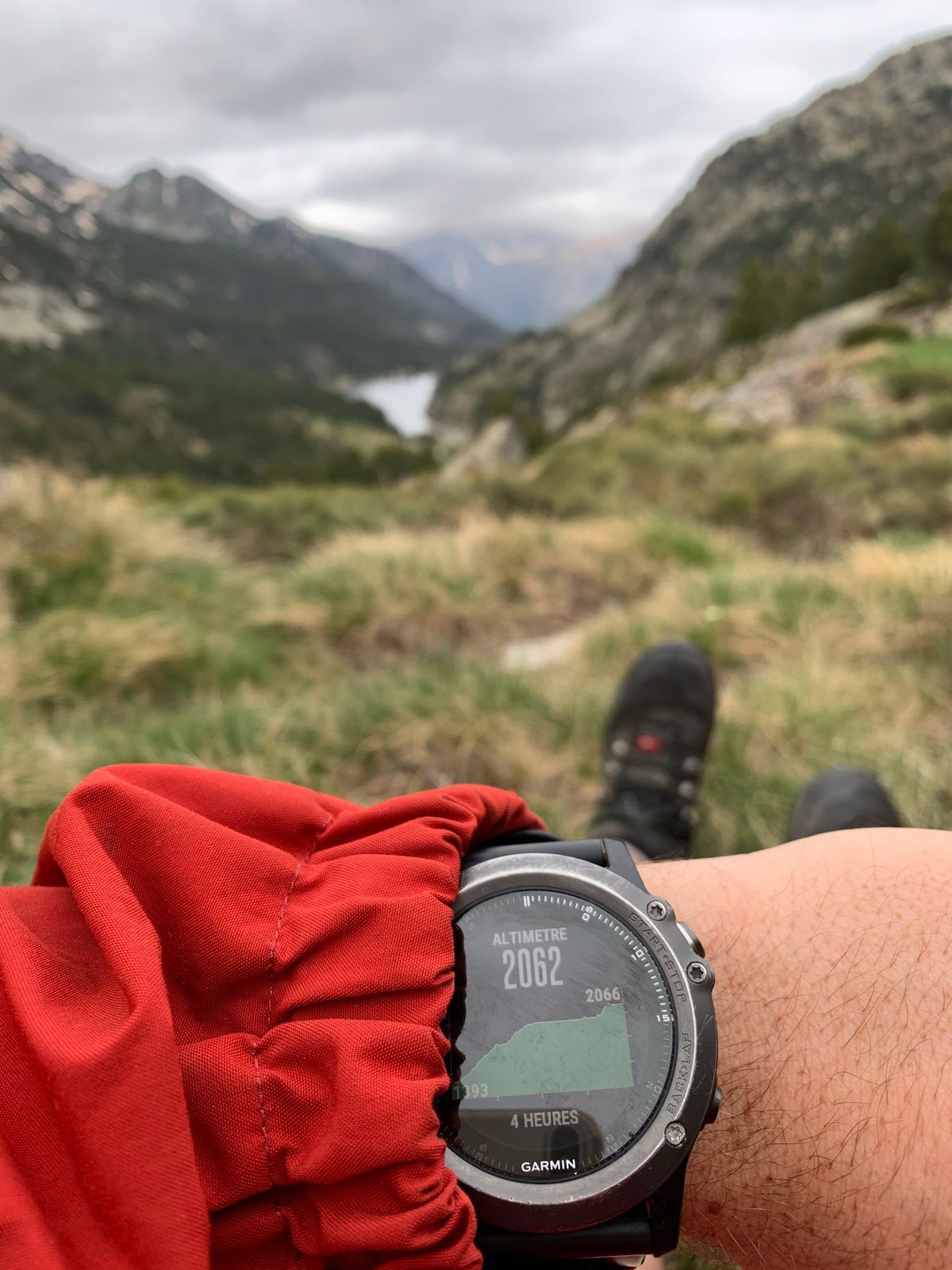
With a current CPE file and All Systems or better, a modern Garmin under open sky records tracks good to a few meters, and Multi-Band tightens the worst environments rather than the average one. The factors that actually decide your track quality, in rough order: sky view (terrain and buildings beat every setting), the satellite mode (Multi-Band earns its cost in cities and gorges, not on open roads), recording interval (smart recording saves space by sampling variably; every second recording gives the most faithful track on technical trails, at a file size cost), and wrist placement, since your arm's swing and your body shadow the antenna in turns. Altitude deserves its own sentence: watches with a barometric altimeter fuse pressure with satellite altitude for far steadier elevation than GPS alone, and calibrating that altimeter at a known trailhead height, or letting the watch auto calibrate from satellite data at the start, prevents the slow drift that makes a good track's elevation profile sag.
Battery: The Other Half of Every Choice
Garmin publishes GPS mode battery estimates per model, and the spread between modes on the same watch is routinely several fold: Multi-Band hours are a fraction of GPS Only hours, and UltraTrac stretches recording into days on watches that measure ordinary GPS time in tens of hours. Read your own model's table in its manual before an event rather than trusting any general figure, because the numbers vary enormously across the range. The planning rule follows from the ladder: choose the lightest mode whose accuracy your terrain forgives. Open road marathon: GPS Only or SatIQ. Mountain ultra with cliffs and forest: All Systems, or Multi-Band if the watch's battery table says it survives your longest day. Multi day trek: Expedition or UltraTrac, accepting breadcrumb fidelity. And whatever the mode, arrive with a fresh sync, because a fast fix is also a battery saving: the receiver works hardest while it is still hunting.
Three Terrains, Three Settings
The ladder becomes obvious when it is priced against real ground. Open road and track: sky everywhere, signals arriving clean. GPS Only or SatIQ records everything there is to record, and Multi-Band spends battery solving a problem the environment does not pose. City center: signals bounce off glass and concrete and arrive by two paths at once, and the direct one is not always the stronger. This is Multi-Band's home turf, or SatIQ, which will climb to it when the reflections start; the visible payoff is a track that stays on your street through the downtown miles instead of zigzagging across the buildings. Forest and steep terrain: the problem flips from reflections to absence, half the sky roofed by canopy or walled by the gorge. More constellations matter more than more frequencies here, because the game is finding enough satellites in the visible slot: All Systems is the workhorse setting, with Multi-Band added when the terrain also reflects, as in a rocky canyon. Read your route's terrain the night before the way you read its weather, and set the activity profile to match; the watch will not know what a gorge is, but you do.
The First Fix Ritual
One small ceremony ties the whole article together, and experienced owners perform it without thinking: before pressing start, stand still in open sky for fifteen to thirty seconds while the watch settles. A fresh CPE file makes the fix fast; stillness makes it clean, because the receiver's first seconds of positions are its roughest, and starting to move immediately smears them across your first hundred meters, where they live in the track forever as a phantom detour through a building. Wait for the GPS indicator to show ready, take one breath, then start. It is the cheapest accuracy upgrade in the entire system: no setting, no battery, just thirty seconds of standing still, and it is the difference between a track that begins at the trailhead and one that begins in the lake beside it.
Reading the Track You Brought Home
The recorded file is the final place the satellite story becomes visible, and it repays a look. In Garmin Connect, open the activity's map and zoom into the segments you remember: the downtown blocks, the forest climb, the turnaround. A healthy track hugs the road or trail you ran; the classic pathologies announce themselves at a glance, a straight line slicing a switchbacked descent (lost signal, interpolated), a drunken weave across a city block (multipath, before Multi-Band or without it), a phantom loop at the start (you pressed go before the fix settled). Reading tracks this way turns abstract settings into evidence: you learn what your terrains do to your receiver and which rung of the ladder each of your regular routes actually needs. The watch recorded more than your run. It recorded its own performance, and the athlete who reads both gets faster twice.
The System, Remembered as a Chain
Hold the whole article as one chain of five links and the settings stop being trivia: clocks in orbit broadcast timed signals; the watch listens on one frequency or two, to one constellation family or several; fresh satellite predictions, synced from your phone, tell it where to listen first; the chosen setting trades battery against resilience to reflections and canopy; and the recording you review afterward is the visible receipt of every choice upstream. When a track disappoints, walk the chain backward and the culprit is always in it: stale predictions, a frugal setting in a hostile canyon, a start pressed before the fix settled. Diagnose by the chain and you will never fix the wrong link twice.
Related Guides
The closest companions to this guide are the GPS and navigation guides below. Each one picks up a thread this page starts:
- How GPS Works on Apple Watch: Built-In Reception, the iPhone Handoff, and Dual-Frequency Ultra: Every Apple Watch since Series 2 carries its own GPS receiver, yet when your iPhone is nearby the watch often lets the phone do the positioning...
- How GPS Works in Aviation: WAAS, LPV Approaches, RAIM, and the FMS: Aircraft use the same GPS satellites as your phone, but almost nothing else about the system is the same.
- How Does GPS Work in a Car: Antennas, Map Matching, and Dead Reckoning: A car navigation system is not just a phone GPS in a bigger box.
- OpenStreetMap on Garmin: Load OSM Maps Onto Your Device, Two Routes: The maps that pair with the positioning this article explains.
Frequently Asked Questions
What is the difference between All Systems and Multi-Band on a Garmin?
All Systems listens to multiple satellite constellations on the standard frequency, which puts more satellites in view. Multi-Band adds reception of the second frequency band (L5) on top of that, which lets the watch detect and reject signals reflected off buildings and rock faces. Multi-Band is the accuracy ceiling and costs the most battery; All Systems is the balanced default for difficult sky.
What does SatIQ do?
SatIQ switches the satellite configuration automatically as you move, using lighter modes under clear sky and heavier, more accurate modes when the signal environment degrades, such as entering a city center or a gorge. It aims to give near best accuracy without the constant battery cost of locking the watch into Multi-Band for an entire activity.
Why is my Garmin slow to get a GPS fix?
The usual cause is a stale CPE file, the predicted satellite orbit package the watch uses to find satellites quickly. It expires after days and goes stale early after long distance travel. Sync the watch with Garmin Connect, Garmin Express, or Wi-Fi to refresh it, and sync again after flying to a new region.
Is UltraTrac accurate enough for recording a race?
UltraTrac samples position at long intervals to save battery, so the track is coarse and the distance is approximate; corners get cut and the recorded route can wander between fixes. It is designed for multi day recording where finishing matters more than fidelity. For a race you care about measuring, use GPS Only at minimum, or SatIQ if your battery allows.
Should I use smart recording or every second recording?
Every second recording stores a point each second and produces the most faithful track, which matters on twisting trails and for precise interval work. Smart recording samples at variable intervals to save memory and battery, and slightly smooths the result. On modern watches with ample storage, every second is the better default for anything you plan to analyze.
Photo credits: Syed Qaarif Andrabi (Pexels); Maël BALLAND (Pexels). Photos are served from this site; follow the credit to the library page for the original.