The satellites your phone listens to are the same ones guiding airliners, and that is where the similarity ends. Our general explainer on how GPS works covers the shared foundation: timing signals from a constellation, trilateration, and a position computed from at least four satellites. Aviation takes that foundation and wraps it in certification, cross-checking, and augmentation, because a phone that is wrong by ten meters shows you on the wrong street, while an aircraft that is wrong by ten meters on final approach has a different kind of problem. This article walks the aviation stack layer by layer.
Home / GPS and Navigation Guides
How GPS Works in Aviation: WAAS, LPV Approaches, RAIM, and the FMS

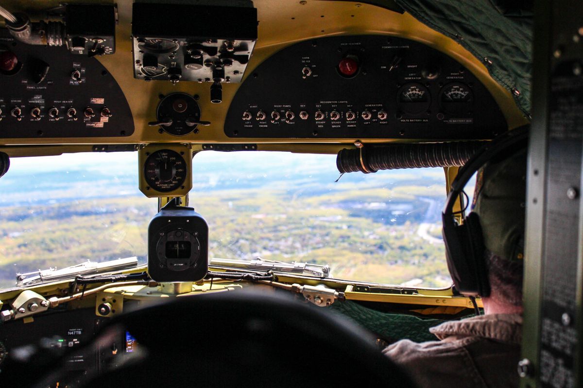
Photo: Mariya Eskina / Pexels
Interactive tool
GPS in the Cockpit: The Layers in Order
Check off each step as you finish it. Your progress stays on this page.
0 of 7 complete
0% done
The Certified Receiver: Same Signals, Different Rules
An aviation GPS receiver is certified to technical standard orders that dictate how it must behave, including how it must announce its own failures. Where a phone silently blends GPS with Wi-Fi and cell positions and shows you the blend, an IFR-certified aviation receiver uses satellite signals only, applies no guesses, and is required to tell the crew when it cannot guarantee its position. It also works to a stricter integrity bargain: the system must either deliver a position accurate within known bounds, or warn within seconds that it cannot. That bargain, accuracy or an alarm, is the design principle underneath everything else in this article, and it is why aviation GPS procedures read like a system built by people who assume components fail.
RAIM: The Receiver Predicts Its Own Blind Spots
Integrity monitoring starts before takeoff. With only the minimum satellites in view, a receiver can compute a position but cannot check it. With extra satellites, it can compare solutions and detect a faulty signal; this self-check is called RAIM, receiver autonomous integrity monitoring. Because satellite geometry changes predictably, crews and dispatchers can run a RAIM prediction for the destination and arrival time before departure. If the prediction says integrity checking will be unavailable during the approach window, the flight plans around it: a different time, a different approach, or a conventional backup. The concept has no phone equivalent. Your phone never warns you that at 6 p.m. your position downtown will be less trustworthy; aviation GPS is required to know that in advance and say so.
WAAS and SBAS: The Layer That Makes Approaches Possible
Raw GPS accuracy, a few meters on a good day, is not enough to fly a precision-style approach through cloud to a runway. The missing sharpness comes from augmentation systems: WAAS in North America, EGNOS in Europe, and their siblings elsewhere, collectively called SBAS. A network of ground stations measures the GPS signals' actual errors (caused mainly by the ionosphere bending the signals), a master station computes corrections, and geostationary satellites broadcast those corrections to aircraft. The receiver applies them and also gains an integrity guarantee with a fast alarm time.
The payoff is the LPV approach: localizer performance with vertical guidance. An LPV procedure guides the aircraft laterally and vertically down a computed path to a decision height as low as 200 feet above the runway on LPV-200 variants, minima comparable to a traditional ILS Category I approach, but with no localizer or glideslope transmitters at the airport at all. Thousands of smaller airports gained instrument approaches this way that could never have afforded ILS installations. This is the single biggest change GPS brought to flying: precision-style access, delivered from space, to runways that previously had none.
The Approach Family: LNAV, LNAV/VNAV, and LPV
GPS instrument approaches are published in flavors, and the chart's minima lines name them:
- LNAV. Lateral guidance only, flown to a minimum descent altitude. The simplest GPS approach, available almost everywhere GPS approaches exist.
- LNAV/VNAV. Adds an advisory vertical path from the barometric or satellite system, flown to a decision altitude, but without the full integrity guarantee of LPV.
- LPV. The SBAS-guided version described above, with the lowest minima and the strictest monitoring, flown to a decision height like an ILS.
Crews brief which minima line applies based on the aircraft's equipment and what is working that day. The same physical runway can offer all three lines on one chart, and a failed WAAS signal degrades an LPV plan to LNAV, which is exactly the kind of graceful fallback the whole system is designed around.
The FMS: GPS Is One Voice in a Committee
In an airliner, GPS rarely talks to the pilots directly. It feeds the flight management system (FMS), which blends GPS with inertial reference systems (gyros and accelerometers that track movement from a known start) and with ground-based radio updates from DME stations. The FMS continuously weighs its sensors, and its position is usually better than any single source. This committee design matters when GPS degrades: the FMS notices disagreement, reweights, and can navigate for a time on inertial and DME updating alone, alerting the crew. Navigation accuracy is then managed as a performance budget: each phase of flight has a required navigation performance (RNP), expressed in nautical miles, and the system must both achieve it and prove it is achieving it (the "actual navigation performance" is monitored against the requirement). Area navigation (RNAV) procedures and RNP approaches, including curved RNP AR paths into difficult terrain, are built on this monitored-performance idea.
Sensitivity Modes: The Display Tightens as You Descend
A certified approach receiver changes its own yardstick by phase of flight. Course deviation sensitivity is wide in en route airspace (full-scale deflection of about 2 nautical miles), tightens in the terminal area (about 1 nautical mile), and tightens again on approach (about 0.3 nautical miles). The pilot flies the same needle with increasing precision demanded as the ground gets closer, and the receiver announces its mode so the crew knows which standard applies. Miss that mode change and an approach is not legal to fly; the automation checks it, and the crew cross-checks the automation.
ADS-B: GPS Tells Everyone Else Where You Are
GPS also works in the outbound direction. ADS-B Out broadcasts the aircraft's GPS-derived position, altitude, and velocity about once per second to ground stations and nearby aircraft. Air traffic control's modern surveillance picture is substantially built from these broadcasts, which is why ADS-B Out is mandated in most controlled airspace. The position being broadcast is only as good as the GPS feeding it, which is one more reason aviation cares about integrity: a confidently wrong GPS does not just mislead its own crew, it misleads the whole system watching it.
When GPS Fails: Jamming, Spoofing, and the Old Network
GPS signals arrive extraordinarily weak, which makes them easy to drown out. Interference events, from military exercises to deliberate jamming near conflict zones, are now routine operational considerations, and spoofing (false signals that walk a position away gradually) has been reported by airline crews in several regions. The defenses are the layers above: FMS cross-checking against inertial and DME, crew procedures that treat a lone GPS disagreement as a failed GPS, and a retained skeleton network of ground navaids (VORs and DMEs) kept specifically so aviation is never wholly dependent on one satellite system. Newer receivers add multi-constellation reception (GPS plus Galileo and others) and dual frequencies, which raises the cost of jamming them. The philosophy is consistent from RAIM to the VOR network: never one source, always a check, always a fallback.
One Flight, Layer by Layer
Follow the stack through a single flight. On the ground before departure, dispatch has already run the RAIM prediction for the destination's approach window and found integrity coverage good. The FMS initializes its inertial position at the gate from the known parking coordinates, refined by GPS. During climb and cruise, GPS is the FMS's most trusted sensor, the position is monitored against the en route RNP requirement, and ADS-B Out broadcasts the flight's GPS position to controllers and nearby aircraft once a second. Descending toward the destination, the receiver's sensitivity tightens from en route to terminal mode. The crew briefs the LPV minima for the arrival runway, checks that WAAS is being received, and watches the approach mode arm. On final, sensitivity is at its tightest, the SBAS corrections hold the path to its guaranteed bound, and the aircraft follows the computed glidepath to a 200 foot decision height, where the crew either sees the runway environment and lands, or goes around, with the missed approach itself flown on the same monitored navigation. If WAAS had dropped out at any point, the plan degrades to LNAV minima, announced and briefed as a possibility before it could happen. Every stage had a check, and every check had a fallback. That, more than accuracy, is what aviation GPS means.
More Constellations, More Frequencies
The newest layer is diversification of the signals themselves. Modern aviation receivers increasingly listen to more than the original GPS constellation: Europe's Galileo and other global systems put more satellites overhead, which improves geometry, RAIM coverage, and availability in terrain that masks part of the sky. Dual-frequency reception, using the modern L5 signal alongside the legacy L1, lets a receiver measure and remove ionospheric delay directly instead of relying entirely on broadcast corrections, and the L5 signal is designed with more power and better interference resistance. The direction of travel is clear: from one constellation, one frequency, and ground augmentation toward multiple constellations and frequencies with augmentation as one check among several. The architecture stays the same, though. Whatever the signal source, aviation will keep demanding the same bargain: a position with a proven bound, or an alarm.
Related Guides
The closest companions to this guide are the GPS and navigation guides below. Each one picks up a thread this page starts:
- How Does GPS Work in a Car: Antennas, Map Matching, and Dead Reckoning: A car navigation system is not just a phone GPS in a bigger box.
- Offline Maps for Iceland: Ring Road Rectangles, F-Roads, and the Road Authority: Iceland is a ring road around an empty middle, and its map problem is not finding the road but surviving the gaps: the fjords with no signal, the...
- What Is My Location? The Three Different Answers Your Devices Give, and Why They Disagree: Ask three services what your location is and you may get three different answers, because there are three different location technologies...
Frequently Asked Questions
Is aviation GPS more accurate than phone GPS?
With WAAS corrections applied, an aviation receiver achieves accuracy on the order of a meter or two horizontally and vertically, with a guaranteed integrity bound and a fast alarm if that bound cannot be met. A phone may occasionally match the accuracy, but it offers no integrity guarantee, which is the property aviation actually certifies.
What is an LPV approach?
An LPV approach is a satellite-guided instrument approach with lateral and vertical guidance, enabled by WAAS or another SBAS. It can offer decision heights as low as 200 feet, similar to an ILS Category I approach, at airports with no ground-based approach transmitters.
What does RAIM do?
RAIM lets the receiver use extra satellites to cross-check its own position solution and detect a faulty signal. Crews can predict RAIM availability for a destination and time before departure, and plan a backup if integrity checking will be unavailable during the approach.
Do pilots navigate by GPS alone?
No. In transport aircraft, GPS feeds the flight management system, which blends it with inertial sensors and DME radio updating and monitors the blend against a required performance. If GPS degrades or disagrees, the system reweights its other sensors and alerts the crew.
What happens if GPS is jammed during a flight?
The FMS falls back on inertial and ground-based navigation, crews follow published interference procedures, and aircraft can still fly conventional approaches using the retained VOR, DME, and ILS network. Jamming is disruptive and taken seriously, but the system is deliberately built so GPS is never the only way to navigate.
Photo credits: Mariya Eskina (Pexels); Amber Brierly (Pexels). Photos are served from this site; follow the credit to the library page for the original.