Ask how GPS works in a car and most explanations stop at satellites, which is where a phone's story roughly ends. A built-in car system does considerably more, and the extra machinery explains everything distinctive about driving with one: why the car icon glides smoothly while a phone's dot jitters, why the car keeps navigating through a long tunnel as if nothing happened, and why, when it does go wrong, it can place you confidently on a parallel road for a mile. The car system is three layers deep. Satellites give it a position. Map matching disciplines that position onto the road network. And dead reckoning, the car's own senses of motion, carries the position whenever the sky disappears. This guide takes the layers in order. For the satellite layer's foundations, our general how does GPS work guide covers the constellation and the timing signals; here the subject is what the car adds.
Home / GPS and Navigation Guides
How Does GPS Work in a Car: Antennas, Map Matching, and Dead Reckoning
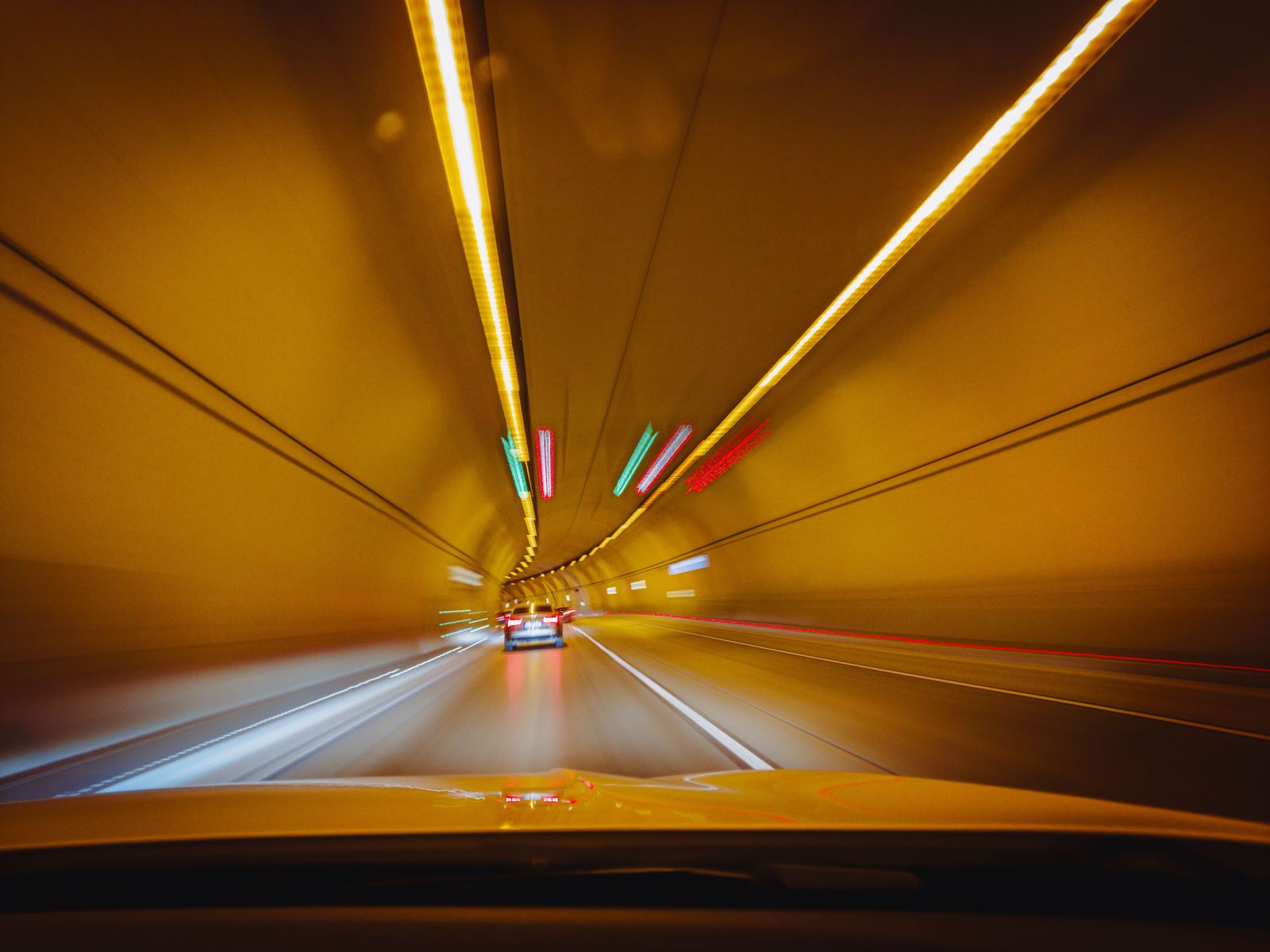
Photo: Alimurat Üral / Pexels
The Three Layers: The Car GPS Checklist
Check off each step as you finish it. Your progress stays on this page.
0 of 7 complete
0% done
Layer One: The Satellite Fix, Taken From the Roof
The car's GPS receiver listens to the same navigation satellites as every other receiver on Earth, timing their signals to compute a position. What differs is the antenna's life. A phone's antenna is wherever the phone happens to be: a pocket, a cup holder, a hand, surrounded by the metal and glass of the cabin and the body of its owner. A car's dedicated antenna is usually mounted high, on the roof or at the base of the windshield, in the open, with an unobstructed hemisphere of sky to listen to. That placement is the first reason car fixes are steadier: more satellites in view, stronger signals, fewer reflections off the cabin. It is also why an aftermarket installation lives or dies by where its GPS puck was placed, a lesson our Android Auto GPS troubleshooting guide meets from the repair side. The fix this layer produces is good but raw: a point that breathes and wanders by meters as signals shift. Layers two and three exist to civilize it.
Layer Two: Map Matching, the Discipline of the Road
A raw GPS point knows nothing about roads. Left alone, it would draw your car driving through buildings, across rivers, and through the gardens of surprised homeowners, a few meters off the street the whole way. Map matching is the software that refuses to allow this. It takes each raw fix and the car's recent path, weighs the road network stored in the map, and snaps the position to the road segment the car is most plausibly traveling on, in the direction it is traveling. Done well, it is invisible: the icon sits centered on your road, follows its curves, and takes the correct fork because your history makes one branch of the fork far more likely than the other.
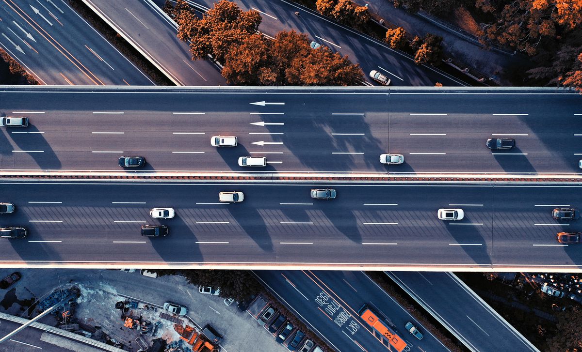
Map matching also explains the car system's signature error. On a frontage road beside a highway, on a ramp braided against the mainline, on any pair of parallel roads closer together than the fix's natural wander, the matcher must guess, and it can guess wrong and then defend its guess, holding you on the highway while you drive the service road, because jumping between the two would look even less plausible. When the icon sits on the wrong parallel road for a long stretch, nothing is broken. You are watching a probability engine lose an argument with geometry, and it usually concedes at the next junction, where the two roads' stories diverge enough to settle the question.
Layer Three: Dead Reckoning, Driving Blind on Purpose
Now remove the sky. A tunnel, an underground garage, a city canyon of towers: the satellite fix degrades or vanishes, and a phone's dot freezes or leaps. The car icon, in a properly equipped vehicle, sails on. The system doing that is dead reckoning, the oldest navigation technique in existence, estimating a new position from a known one by tracking motion. The car's instruments are built for it. Wheel-speed sensors, the same pulses the anti-lock brakes count, report how far each wheel has rolled. A gyroscope reports how the car has turned. In integrated systems, automotive dead reckoning chips read this data, including signals from the car's own network, the CAN bus, and update the position many times a second from the last good satellite fix.
Dead reckoning has one law: its error grows with distance. Every pulse count is slightly imperfect, every gyro reading drifts slightly, and the errors accumulate the longer the car drives blind. A short tunnel is nothing; the system exits with the icon on the correct road within meters. A long underground spiral of a parking garage is the hard case, turns stacked on turns with no fix at all, and even good systems can emerge a level or a ramp away from the truth. Then layer one returns: the sky reappears, a fresh satellite fix arrives, and the system reconciles, snapping the icon back to reality, sometimes with a visible hop that startles drivers who did not know they had been navigated by dead reckoning at all.
How the Layers Hand Off, Minute by Minute
Put the three together on one drive. You start the car in an open driveway: layer one owns the position, the roof antenna holding a clean fix, layer two keeping the icon centered on your street. You enter a city: signals bounce off towers, the raw fix starts to wander, and layer two earns its keep, holding you to the road while layer three quietly cross-checks motion against the map. You dive into a tunnel: the fix dies, dead reckoning takes the position and carries it, counting wheels and turns, while the matcher keeps the estimate on the tunnel's road because there is only one road it could be on. You emerge: the fix returns, corrects the small drift dead reckoning accumulated, and the stack settles back into its normal state. The smoothness drivers praise in built-in navigation is not a better satellite receiver. It is this relay, three systems covering each other's weaknesses so continuously that the handoffs disappear.
Why Car GPS Feels Different From a Phone
A phone navigating in a car is doing layer one with a badly placed antenna and layer two in its maps app, and it improvises the rest: it blends Wi-Fi and cell signals to prop up the fix, and when the sky vanishes it mostly waits. It has motion sensors, and good apps use them, but it does not have the car's wheel-speed data or a gyroscope calibrated to the vehicle's motion. That is the whole difference. The car system hears better, guesses better, and can drive blind on instruments the phone cannot access. In exchange, the car system ages with the car: its map data and road network, the very thing layer two trusts, can go stale in a way a phone app updated last week never does. A car that insists a new road does not exist, or matches you to a road that closed last year, is not suffering a GPS failure. Its positioning layers are healthy and its map is old, which is a different repair entirely, and the distinction saves owners from replacing receivers that were never broken.
The Icon Is a Story the System Tells You
One last layer is not in the car at all; it is in the presentation. The icon on the screen is not the raw position plotted in real time. It is a filtered, smoothed account of it, drawn by software that prefers a believable story to a jittery truth. That is why the icon glides through corners instead of cornering sharply, why it can lag a fast turn by a moment, and why, after a tunnel, it sometimes glides diagonally across a block to rejoin the road instead of teleporting: the system is walking its estimate back to the fix along a path that does not insult the driver's eyes. Understanding this keeps you from misreading the display twice over. A small lag or a smoothed corner is the presentation layer doing its job, not a positioning fault worth chasing. And a too-perfect confidence, the icon serenely centered on a road while the car is in the parking structure beside it, is the same smoothing wearing a mask: the stack believes its story until the evidence overwhelms it. Judge the system by where the icon settles and how it behaves over a minute of driving, not by any single frame, because a single frame is a story mid-sentence. The engineers who built the stack made the same judgment call in your favor: a display that admitted every flicker of the raw fix would be more honest and less usable, and they chose usable, with the seams showing exactly where this guide has pointed.
Related Guides
The closest companions to this guide are the GPS and navigation guides below. Each one picks up a thread this page starts:
- How GPS Works in Aviation: WAAS, LPV Approaches, RAIM, and the FMS: Aircraft use the same GPS satellites as your phone, but almost nothing else about the system is the same.
- How GPS Works on Apple Watch: Built-In Reception, the iPhone Handoff, and Dual-Frequency Ultra: Every Apple Watch since Series 2 carries its own GPS receiver, yet when your iPhone is nearby the watch often lets the phone do the positioning...
- How GPS Works on a Garmin Watch: Satellite Settings, SatIQ, and the CPE File: A Garmin watch does not have one GPS mode; it has a menu of them, from GPS Only to Multi-Band, and each trades battery for accuracy in a different way.
Frequently Asked Questions
Does car GPS work in a tunnel?
Yes, in a car with dead reckoning, which most built-in systems have. When the satellite fix is lost, the system estimates position from wheel-speed pulses and a gyroscope, starting from the last good fix. It stays accurate through ordinary tunnels. Its error grows with distance driven without a fix, so very long underground stretches, like parking garage spirals, can leave the icon briefly wrong when you emerge, until the returning satellite fix corrects it.
Why does my car GPS put me on the wrong parallel road?
That is map matching losing an argument. The software snaps your raw position to the most plausible road, and where a highway and a frontage road run close together, it can choose the wrong one and hold it, because switching back and forth would look worse. It usually corrects at the next junction, where the roads diverge. Nothing is broken; the fix's natural wander is wider than the gap between the roads.
What is dead reckoning in a car?
Dead reckoning is position estimated from motion instead of satellites. The car counts wheel-speed pulses to measure distance traveled and reads a gyroscope to measure turns, updating the position from the last known fix. Integrated automotive systems take this data from the vehicle's own sensors and network. It is what carries navigation through tunnels and garages, and its accuracy fades the longer it runs without a satellite fix to reset it.
Is a car's built-in GPS more accurate than a phone's?
Its raw satellite fix benefits from a roof antenna with a clear sky view, so it starts ahead. The bigger difference is the stack around the fix: map matching holds the position on the right road, and dead reckoning keeps it alive without sky, neither of which a phone can fully match without the car's sensors. Against that, a car's map data can be older than a phone app's, so a car can be precisely positioned on an outdated map.
Why did my car icon jump when I left the parking garage?
You were watching dead reckoning hand back to satellites. Underground, the system estimated your position from wheel pulses and turns, accumulating a little error with every ramp. At the exit, the fresh satellite fix replaced the estimate, and the icon hopped from the estimated spot to the measured one. A small hop is the system working exactly as designed.
Photo credits: Alimurat Üral (Pexels); zhen tang (Pexels). Photos are served from this site; follow the credit to the library page for the original.