How Does GPS Work? Satellites, Signals, and Your Blue Dot
By the Osm4People editorial team
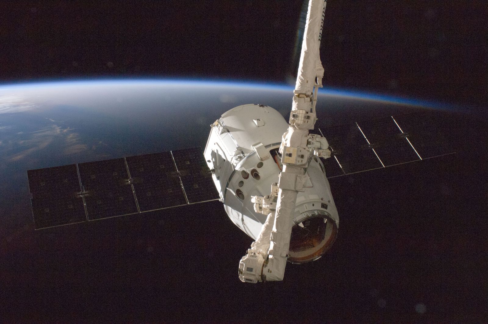
Photo: SpaceX / Pexels
Here is the whole of GPS in one sentence: satellites overhead constantly broadcast the time and their position, your phone listens and measures how long each broadcast took to reach it, and from those delays it computes exactly where you are. Everything else in this article is that sentence unfolded slowly, with no physics background assumed. By the end you will be able to explain the blue dot to anyone, including the cleverest part, which is why your phone needs four satellites to do a job that sounds like it needs three.
Try the Coordinate Explorer on this page while you read. Tap Use my location and watch the result of the whole system arrive as two numbers. That pair, refreshed every second or so, is what thirty satellites and a great deal of mathematics produce for you, free, anywhere on Earth.
Interactive map
Coordinate Explorer: Watch Your Own Fix Arrive
Tap Use my location and watch the satellites, Wi-Fi, and cell signals described below settle into one pair of numbers: your position, in every format at once.
Decimal degrees40.689167, -74.044444
Latitude40.689167° N
Longitude74.044444° W
Degrees minutes seconds40° 41' 21.00" N, 74° 02' 40.00" W
Degrees decimal minutes40° 41.350' N, 74° 02.667' W
Engineers divide GPS into three segments, and the division makes the system easy to hold in your head.
The space segment is the constellation: about thirty satellites in orbit roughly 20,200 km (12,550 mi) above the Earth, arranged so that at least four are above your horizon at any moment, anywhere on the planet. Each satellite carries atomic clocks and broadcasts a steady signal saying, in effect: I am satellite number so-and-so, I am exactly here, and this signal left me at exactly this time.
The control segment is a network of ground stations run by the United States Space Force, which operates GPS. The stations track every satellite, keep its orbit and clock honest, and upload corrections. This is the part nobody sees and everybody depends on: a satellite that drifts or whose clock wanders gets fixed from the ground before your phone ever notices.
The user segment is you: every phone, car, watch, aircraft, ship, and tractor carrying a GPS receiver. The receivers only listen. Your phone never transmits anything to the satellites, which is why GPS works for an unlimited number of people at once and why the satellites have no idea you exist.
The Timing Trick
Radio signals travel at the speed of light: 299,792 km per second. That speed is so steady that time and distance become the same measurement wearing different clothes. If a satellite's signal took 0.070 seconds to reach you, it traveled 299,792 × 0.070 = about 20,985 km to get here, so you are about 20,985 km from that satellite. Your phone does this arithmetic for every satellite it can hear, continuously.
The precision required is startling, and worth pausing on. Light covers about 300 m in one microsecond, a millionth of a second. So if your phone's sense of time is off by just one microsecond, every distance it computes is off by about 300 m, and your position is wrong by a city block or more. Off by ten nanoseconds, a hundred times less, and the error is about 3 m. GPS is, at its heart, a timing system that happens to report positions. Hold that thought, because it explains the fourth satellite below.
From Distances to a Dot: Spheres, Not Triangles
Knowing you are 20,985 km from one satellite places you somewhere on a sphere: the set of all points at that distance from it, a vast shell in space that intersects the Earth's surface in a circle. You are somewhere on that circle.
A second satellite gives a second sphere. Two spheres intersect in a circle, narrower, but still a whole circle of possibilities. A third sphere cuts that circle down to two points. One of those points is usually absurd, far out in space or deep inside the Earth, and the receiver discards it. The other is you.
This is called trilateration, measuring from distances, and it is worth naming because most people picture triangulation, measuring angles, which is what old surveyors did with theodolites. Your phone measures no angles at all. It only times signals and intersects spheres. The map in our guide to how to find coordinates on a map is where the resulting pair gets used, but the pair itself is born here, in the intersection of timed spheres.
The Fourth Satellite: Fixing Your Clock
The catch in the story so far: the phone computed those distances using its own clock to judge when each signal arrived, and a phone's clock is a cheap quartz clock, nowhere near accurate enough. A microsecond of clock error is 300 m of position error, and a phone clock can be off by far more than that.
The fourth satellite solves it beautifully. With four satellites, the phone has four distances and four unknowns: latitude, longitude, altitude, and its own clock error. The mathematics finds the single clock correction that makes all four spheres intersect at one point. In effect, every GPS fix also sets your phone's clock to atomic accuracy, as a by-product of locating you. This is why a phone that has just found GPS suddenly shows the exact time, and why the system needs four satellites in view rather than three. Three give a position if your clock were perfect. Four give a position with the clock you actually have.
Why Your Phone Is Faster Than Pure GPS
A receiver starting cold, knowing nothing, can take minutes to work out where the satellites are and produce a first fix, because the satellites broadcast their orbital data slowly. Your phone almost never starts cold, because it cheats in three legitimate ways.
Assisted GPS downloads the satellites' orbital data over the cell network in seconds, so the receiver knows where to listen before it starts. Wi-Fi positioning matches the networks around you against a database of known locations, giving a rough position indoors where satellites cannot reach. Cell tower information adds a coarse fix from the towers you are connected to. The phone blends all of these with real satellite timing, which is why the blue dot appears instantly, starts approximate, and then tightens: the first seconds are the helpers talking, and the tightening is GPS itself arriving. When the dot is wrong in a city center, it is usually the helpers, Wi-Fi especially, placing you at a neighboring building's router. Our guide to why is my location not accurate is the troubleshooting companion to this article.
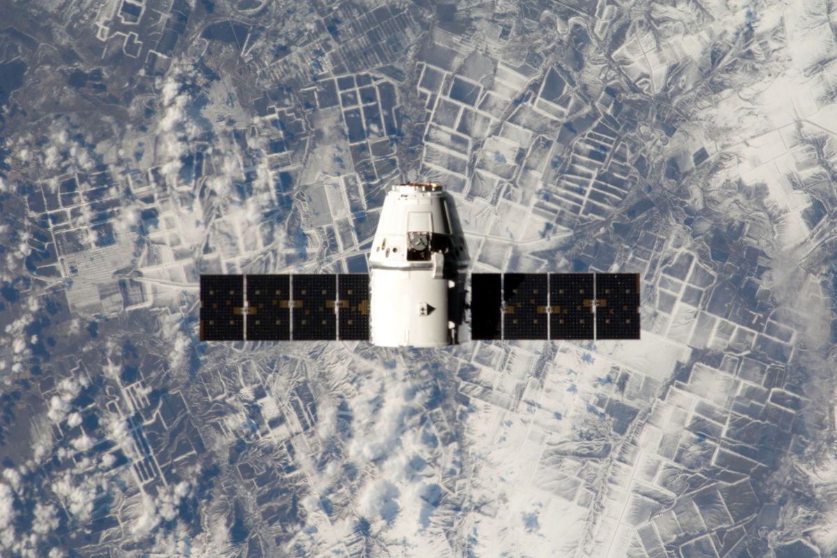
A satellite in orbit above Earth, photographed from space
What Limits Accuracy
The United States government states on gps.gov that GPS enabled smartphones are typically accurate to within a 4.9 m (16 ft) radius under open sky. The gap between that figure and perfection comes from a short list of honest causes. Signals slow slightly passing through the atmosphere, and the delay varies with weather. Signals bounce off buildings and cliffs, arriving by a longer path, a fault called multipath that haunts city centers and canyons. Satellite geometry matters: satellites bunched in one part of the sky give weaker geometry than satellites spread around you. And your receiver is small, cheap, and saving battery. Newer phones listen to two satellite frequencies at once, which cancels much of the atmospheric error and is why recent phones hold a noticeably steadier dot in cities.
GPS Is Not the Only System
GPS is the American system, and the word has become generic, like calling every tissue a Kleenex. Russia operates GLONASS, Europe operates Galileo, and China operates BeiDou, with regional systems from Japan and India besides. Modern phones listen to several constellations at once and merge them, which is why your phone may be using European satellites over Europe and never tell you. The principles in this article, timed broadcasts, spheres, and the clock fix, are shared by all of them. When a specification sheet says GNSS, the umbrella term, it means the phone hears the whole choir rather than one voice.
Four Misconceptions, Corrected
Misconception
The truth
GPS triangulates from satellite angles
It trilaterates from signal travel times; no angles are measured
My phone talks to the satellites
The phone only listens; the broadcast is one way, which is why it works for everyone at once
GPS needs the internet
The receiver needs only the sky; internet help makes the first fix faster and loads the map picture, which is a separate job
GPS and the map are the same thing
GPS produces two numbers; the map is a picture other software draws under them, which is why the dot can be right on a blank screen
That last row explains the trick behind offline maps: store the picture in advance, and the satellite half keeps working with no connection at all.
The First Ten Seconds of a Fix, Second by Second
Watch the blue dot with the system in mind and you can see the segments hand over to each other. In the first second, the phone shows its last known position or a coarse fix from cell towers: the dot may sit streets away, with a huge pale circle admitting it. By about three seconds, Wi-Fi matches the networks around you and the dot snaps to your building or the one next door; in a city this can look impressively exact while resting entirely on a router database. Then the satellite timing arrives, the receiver solves its spheres and its clock, and the dot settles and the circle shrinks to a few meters. That final tightening, the one that feels like the phone calming down, is the moment the system described in this article takes over from its helpers. If the dot never tightens, the sky is blocked: you are indoors, in a canyon of towers, or under a metal roof, and the phone is telling you so with geometry instead of words.
The Strangest True Fact: Relativity Keeps GPS Honest
GPS is the only everyday technology that would visibly fail without Einstein. Two relativistic effects tug the satellites' atomic clocks in opposite directions. Moving fast makes a clock tick slower, by about 7 microseconds a day at orbital speed. Sitting higher in Earth's gravity makes a clock tick faster, by about 45 microseconds a day. The net is that satellite clocks gain roughly 38 microseconds a day on Earth clocks. Recall the exchange rate from earlier: one microsecond of clock error is about 300 m of position error. Uncorrected, 38 microseconds a day would rot every position by about 11 km daily, and the system would be useless within hours. So the satellites' clocks are built to tick slightly slow on the ground, exactly enough to run true in orbit, and the control segment mops up what remains. Your blue dot is, among other things, a small daily proof that both halves of relativity are real.
In Tunnels and Parking Garages: Dead Reckoning
When the sky vanishes mid-route, the dot often keeps gliding plausibly for a while. That is the phone estimating: it knows your last position, your speed and heading from the last fixes, and in cars it may borrow the vehicle's own sensors through the car system. This dead reckoning is a guess with a short shelf life. It cannot know you turned inside the garage, and it degrades by the second, which is why emerging from a long tunnel sometimes produces a brief dot jump as real satellite timing resumes and politely corrects the guess. Treat any position shown after more than a few seconds without sky as a rumor, and let the receiver re-acquire before you trust a turn.
Related Guides
This guide does not stand alone. The GPS and navigation guides below take up the questions it leads into:
Four for a full fix with altitude and a corrected clock. With three it can still produce a position by assuming altitude or trusting its clock briefly, which is why a fix sometimes appears and then jumps as the fourth satellite joins.
Does GPS work indoors or underground?
Barely, and usually not at all. The signals are faint by the time they cross 20,000 km of space, and roofs and rock stop them. Indoors, your phone falls back on Wi-Fi and cell positioning, which is why the dot gets vague in malls and basements.
Why does GPS work in airplane mode?
Because the receiver only listens to satellites and never needed the network. Airplane mode silences the phone's radios that transmit and fetch data, but the GPS listener still hears the sky. The map picture may not load, but the position will.
How accurate is GPS on a phone?
Typically within about 4.9 m (16 ft) under open sky, per the US government's own figures on gps.gov. Buildings, tree cover, and canyons worsen it, and dual-frequency phones do better in cities. The pale circle around your blue dot is the phone's honest estimate for that moment.
Who runs GPS, and is it free?
The United States government operates GPS through the Space Force, and the signal is free to everyone on Earth, a policy that has held since the system opened to civilian use. Europe, Russia, and China run their own constellations on the same free principle.
Can GPS drain my battery?
Continuous positioning is one of the hungrier things a phone does, which is why apps poll your location sparingly until you start navigating. A full day of active navigation will cost real battery; the satellites cost nothing, but listening to them constantly is not free for the phone.
Photo credits: SpaceX (Pexels); SpaceX (Pexels). Photos are served from this site; follow the credit to the library page for the original.