Iceland's road network could be drawn from memory: one ring road, Route 1, circles the island, spurs climb into two fjord systems, and a web of gravel tracks crosses the uninhabited highlands in the middle. Nobody gets lost in Iceland for lack of a map. They get into trouble because the map on their phone depended on a signal that the Eastfjords do not provide, or because an app happily routed them onto a highland track that the river had other plans for. The offline setup in this guide has two layers, as it does everywhere this site covers, but Iceland bends both of them into local shapes. Google Maps offline works in rectangles you draw, and Iceland must be tiled deliberately. OpenStreetMap apps download the whole country as one map, which suits an island this size perfectly. And above both apps sits an authority no app replaces: the Icelandic Road and Coastal Administration, whose conditions service decides which roads are open, passable, or closed today. The general download mechanics live in our offline maps guide; this article is the Iceland layer, and it pairs with the island logic of our Bali offline guide, a different island solving a different version of the same problem.
Home / GPS and Navigation Guides
Offline Maps for Iceland: Ring Road Rectangles, F-Roads, and the Road Authority
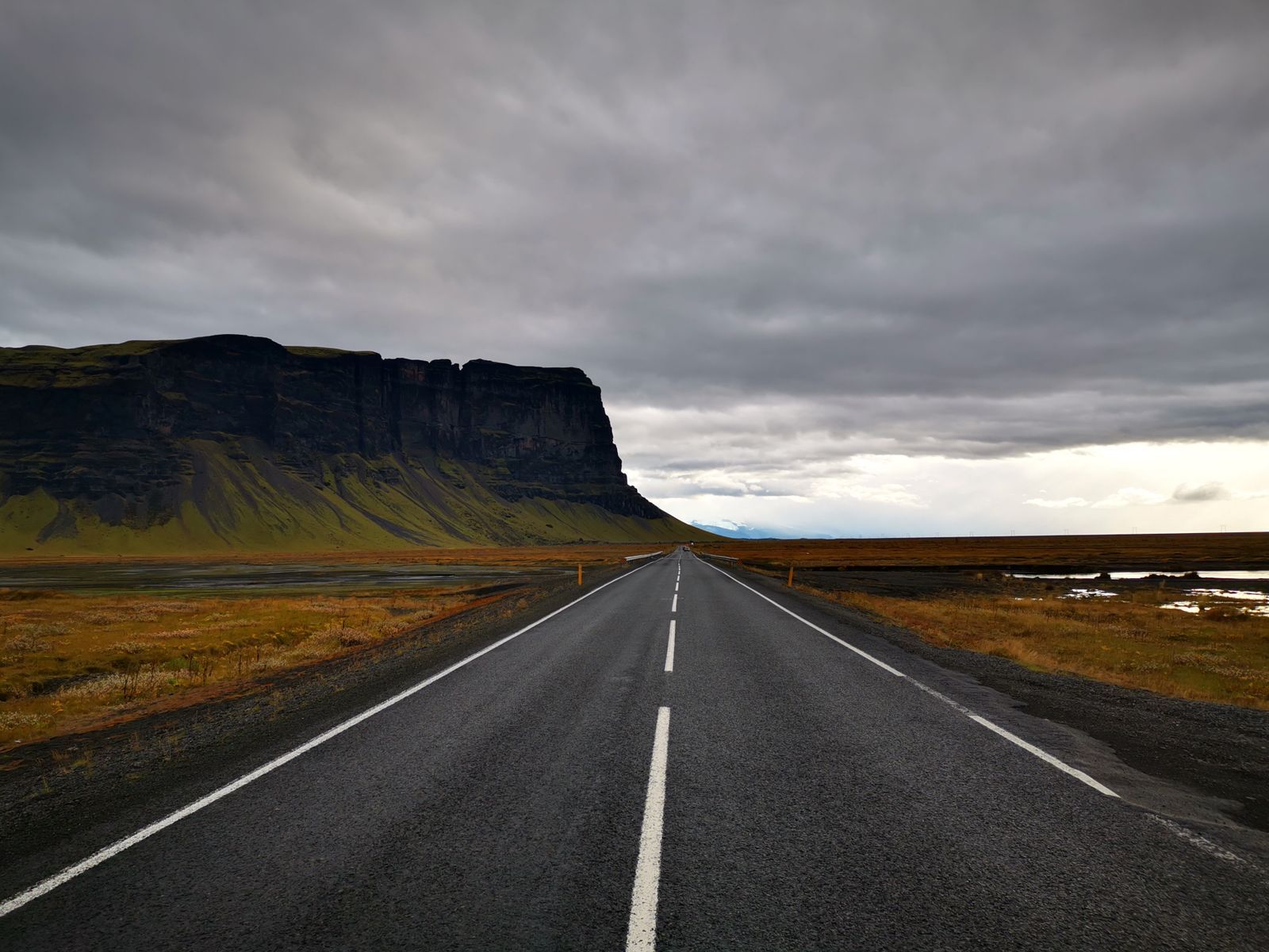
Photo: Yohantha Gunawarna / Pexels
Roads the Weather Owns: The Iceland Offline Checklist
Check off each step as you finish it. Your progress stays on this page.
0 of 7 complete
0% done
The Shape of the Problem: A Ring and an Empty Middle
Everything about navigating Iceland follows from its settlement pattern. Almost everyone lives on the coast, the ring road serves them, and the interior is a desert of lava, sand, and glacial rivers with no towns, no fuel, and mostly no signal. A ring road trip therefore alternates between two worlds every day: stretches near towns, where coverage is fine and the apps behave like they do at home, and stretches between them, the long south coast run below the ice caps, the Eastfjords' winding inlets, the north coast between fishing villages, where the road is the only human thing and the signal comes and goes with the terrain. The Westfjords are their own case, a whole peninsula of fjord roads where the map matters most and the coverage is thinnest. The practical consequence is that an Iceland download cannot be an afterthought sized to Reykjavik. It has to cover the entire route you intend to drive, fjords included, before you leave the capital's Wi-Fi, because the places you will most want the map are precisely the places that cannot fetch it.
Two Download Logics: The Whole Country or the Rectangles
The two app families download Iceland in opposite styles, and knowing both keeps you covered. In a fully offline OpenStreetMap app such as Organic Maps or MAPS.ME, Iceland is a single country download: one tap, the whole island, roads, tracks, trails, and towns in a file the phone carries everywhere. For a country shaped like a ring with an empty middle, that is the natural unit, and it is the layer to trust for the Westfjords, the hiking trailheads, and any detour off the ring. Google Maps offline works the other way, in rectangles you draw on the map, each a limited tile of territory. Tiling Iceland means a chain of rectangles along the ring: the capital area, the south coast in a few overlapping tiles, the east, the north, the west, and a deliberate tile for the Westfjords if they are on your route, since the peninsula is easy to leave outside a mainland rectangle by accident. Overlap the tiles generously; the cost of a doubled stretch is nothing, and the cost of a gap is a map that ends mid-fjord. Our offline app comparison covers the apps themselves. Whichever you carry, the rule is the same: the download is finished when the whole itinerary, not the whole island in the abstract, sits on the phone and routes in airplane mode.
F-Roads: The Line an App Cannot Judge
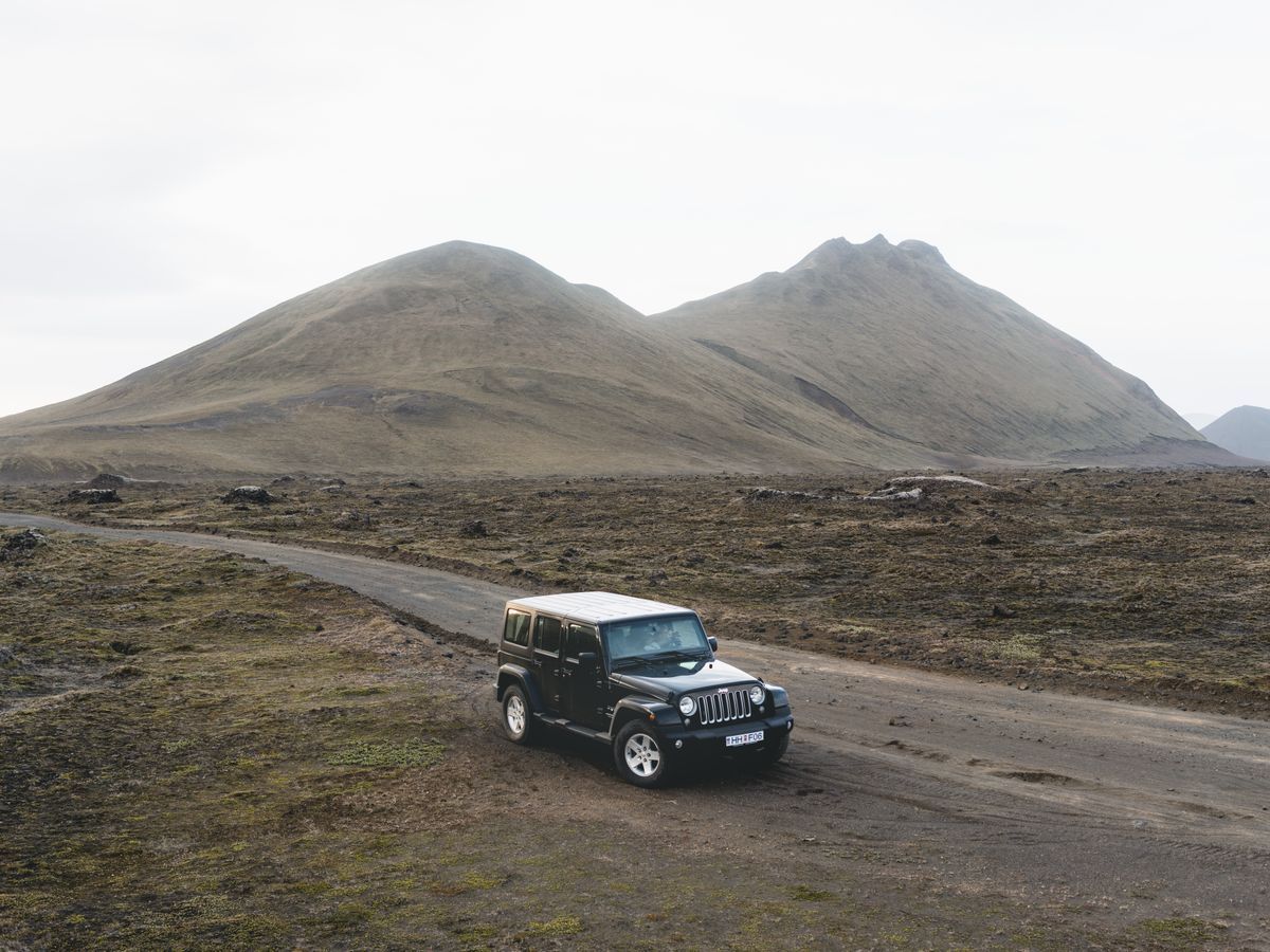
The highland tracks carry an F prefix, F910, F88, F35 among the famous ones, and the F stands for fjall, mountain. These are not roads in the ring road sense: they are rough tracks across the interior, unbridged at the rivers, open only in the summer months, and legally restricted to proper four-wheel-drive vehicles, with rental contracts that void themselves if you take an ordinary car onto one. Here is the part an offline map cannot do for you. Your app knows where the F-roads run; it does not know whether they are open today, whether last night's rain has swollen a crossing past safety, or whether the season has even begun. That knowledge lives in one place: the road administration's conditions service, published at road.is, with its map of road conditions, closures, and warnings, updated as the interior changes. The working method is a division of labor. Use the offline map to plan the line and navigate it. Use the road authority, checked each morning while you still have signal, to decide whether the line may be driven at all, and treat a closed or flagged track as closed no matter how confidently the app draws it. River crossings deserve their own sentence: depth and current change through the day as glacial melt rises, a crossing that was fine at breakfast can be serious by afternoon, and no map product, online or off, measures a river for you.
The local custom deserves copying: Icelanders who drive the interior travel in convoy where they can, tell someone their route and their return, and treat a turned-back crossing as a good decision rather than a failed day. Your offline map supports all three habits, holding the alternative lines and the way back, but the judgment at the water's edge is yours, made standing still, watching the current, with the engine off and the day still young enough to choose the long way round.
Fuel, Towns, and the Long Empty Stretches
The second Iceland discipline is services. On the ring road's emptier quarters, the south coast between Vik and Höfn, the long north coast runs, the Eastfjords between villages, fuel stations, food, and beds sit far apart, and a downloaded map earns its keep by holding their locations when the signal does not. Before leaving coverage each morning, pin the day's essentials in your apps: the fuel stops along your stretch, the town you will sleep in, the detours you intend, a waterfall, a glacier lagoon viewpoint, a farm stay down a side road. Saved pins are part of the download's value, because search in an offline app only knows what the map data knows, while a pin you placed is certainly there. This is also where the whole-country download quietly outperforms the rectangles: a change of plan, a closed road, a recommendation from a stranger at a hot pot, can send you down a fjord you never tiled, and the country file does not care. Build the day's pins on the country layer, navigate the roads on whichever app you prefer, and the setup absorbs improvisation the way a paper road atlas used to, by simply containing the island.
Highlands, Hiking, and the Weather Above Everything
Many Iceland trips leave the road entirely, and the offline habit extends to the trail. The Laugavegur and Fimmvörðuháls treks, the day hikes in Skaftafell and Thórsmörk, run through country where signal is a rumor; the OpenStreetMap layer carries the trails, huts, and river crossings as mapped features, and downloading the country file means the trek maps are already aboard. Pair the map with the other authority Iceland demands you respect: the weather. Conditions at sea level in Reykjavik say little about a pass at altitude, and the road authority's warnings and the meteorological office's forecasts, both checked before you leave coverage, are part of the navigation stack, not an extra. The pattern of this whole guide repeats here: the offline map is the constant, the thing that always works, and the live services are consulted in bursts, each morning, each town, to refresh the decisions the map cannot make: what is open, what is flooded, what the wind is doing. Travelers who internalize that rhythm stop experiencing Iceland's gaps as failures of coverage and start experiencing them as the normal texture of the island, which they are.
The Airplane Mode Test, Ring Road Edition
Run the standard exam before the rental car leaves the capital. Airplane mode on. Route from the airport to your first night's town. Route one fjord detour, ideally in the Westfjords or the east. Open the country layer and find a trailhead you intend to walk. Check that the day's fuel pins are saved. If all of that works with the radios off, the setup is real. Then, with the radios back on, do the one live task the trip depends on: open road.is, read the conditions for the roads you will drive in the next two days, and make a morning habit of it. The map will be there every hour of the trip. The authority's answer changes daily, and the pairing of the two, the constant map and the daily check, is the whole Iceland method in one sentence.
Winter Changes Everything the Map Means
Everything in this guide doubles in winter. The ring road stays open as a matter of national policy, plowed and gritted, but open is a relative term when daylight shrinks to a few hours, wind moves the snow horizontally, and a stretch that took an hour in July becomes a negotiation. The road authority's role grows from daily habit to survival infrastructure: its conditions map carries the closures, the blowing snow warnings, and the stretches flagged as difficult or impassable, and winter itineraries are written from it each morning rather than from the plan made at home. The offline map's role grows with it. In whiteout conditions the road's edge is a rumor, and knowing exactly where the road runs, where the next farm and the next town sit, and how far the fuel pin is, stops being convenience. Single-lane bridges, a ring road specialty, demand their own courtesy, first onto the bridge has it, and the map at least tells you how many are coming. The F-roads close entirely and become ski and super-jeep country, a different sport with different maps. Winter Iceland is not a harder version of summer Iceland; it is a different country sharing the same roads, and the stack that serves it, downloaded maps below, the authority's word above, is the same stack with the volume turned up.
Related Guides
Readers working through this topic usually need its closest companions too. These GPS and navigation guides cover the neighboring ground:
- Best Offline Map App for India: Mappls, Google, and the OSM Apps Compared: India rewards a local map. Mappls, built by MapMyIndia, maps the country's addresses, places, and roads as its home market, offers offline maps of...
- Best Offline Map App for iPhone: The Free Tier Truth Table and Picks by Traveler Type: iPhone offline roundups list the same apps with the same praise and whisper the limits: Apple Maps offline is driving first, Google areas lapse if...
- Best Offline Map App for Walking Directions: What Still Works When the Signal Dies: Offline walking directions are where the big map apps quietly part ways.
- Offline Maps for Scotland: Ordnance Survey Sheets and Highland Blackspots: The other northern stack, built on a national mapping agency and its grid.
Frequently Asked Questions
Can I download all of Iceland for offline use?
Yes, in a fully offline OpenStreetMap app such as Organic Maps or MAPS.ME, Iceland is a single country download containing the whole road and trail network. In Google Maps you build the same coverage from a chain of overlapping rectangles drawn along your route, including a deliberate tile for the Westfjords.
Do offline maps work on F-roads?
They navigate them, showing the track, the junctions, and the river crossings as mapped features. What they cannot tell you is whether the track is open or a crossing is safe today. That judgment belongs to the Icelandic Road and Coastal Administration at road.is, which you should check every morning before driving the interior.
Why does my rental agreement mention F-roads?
Because F-roads are restricted to capable four-wheel-drive vehicles, and standard rental cars are contractually forbidden from them; driving one there voids the insurance. The restriction is about the vehicle and the rivers, not about your map, so plan highland routes only with a vehicle the contract allows.
Where does the signal fail in Iceland?
Coverage is good around towns and the capital region and thins across the empty quarters: the long south coast, the Eastfjords, the north coast between villages, and above all the Westfjords and the interior. Those gaps are exactly where the offline download earns its place.
What should I check each morning besides the map?
The road conditions at road.is for closures and warnings on your route, and the weather forecast for the areas you will cross, especially wind and river conditions if highland tracks are involved. The map is constant; conditions are the daily variable.
Photo credits: Yohantha Gunawarna (Pexels); Matt Hardy (Pexels). Photos are served from this site; follow the credit to the library page for the original.