Ask a Scottish hillwalker what map they trust and the answer is a brand and a scale: Ordnance Survey, 1:25,000. Scotland is one of the few countries where the national mapping agency's product is not background data for other people's apps but the map itself, the sheet generations of walkers have navigated by, now delivered to a phone with the same authority. The offline stack for Scotland is therefore built differently from the app-first stacks elsewhere: the OS layer is the center, and everything else, the phone's road navigation, the downloaded rectangles, is arranged around it for the journeys between the hills.
Home / GPS and Navigation Guides
Offline Maps for Scotland: Ordnance Survey Sheets and Highland Blackspots
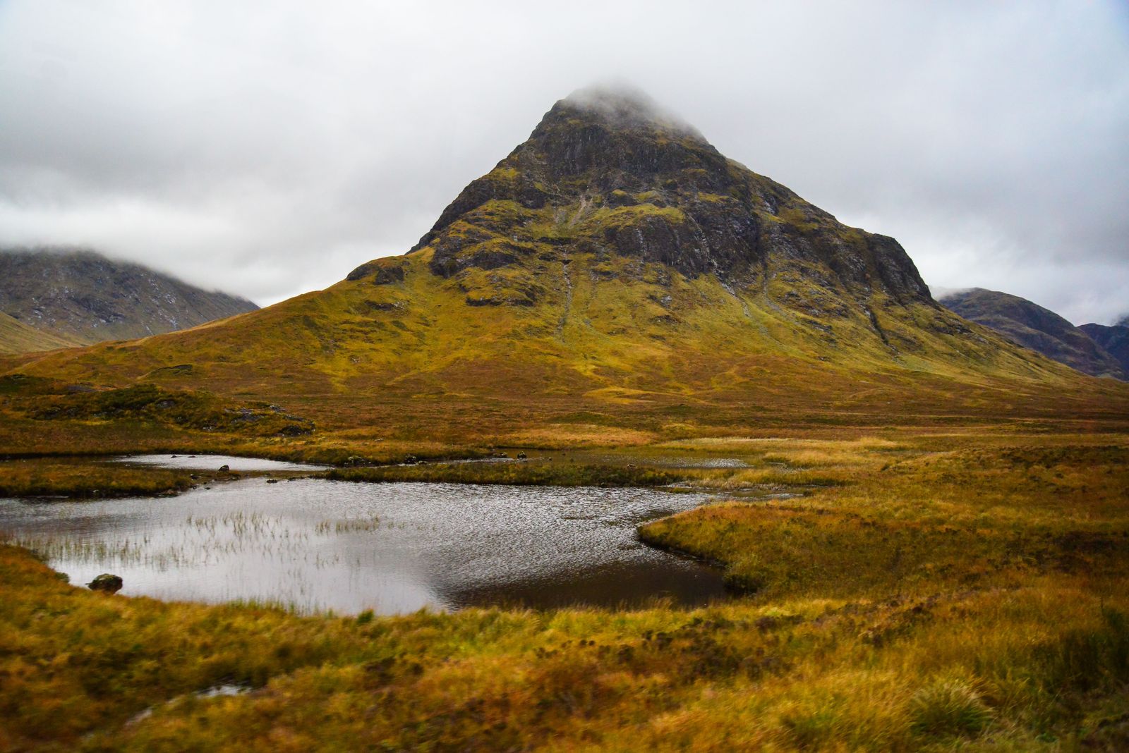
Photo: Nunzio Guerrera / Pexels
Interactive tool
Beyond the Signal: The Scotland Offline Checklist
Check off each step as you finish it. Your progress stays on this page.
0 of 7 complete
0% done
The Institution: Ordnance Survey and Its Two Scales
Ordnance Survey is Great Britain's national mapping agency, and its leisure mapping comes in two series every Scottish walker learns to tell apart on sight:
- Explorer, 1:25,000, the orange series: the walker's sheet. Field boundaries, paths, crags, and contours at a scale where a hillside reads like a document. This is the scale for the hill itself, for navigation in mist, for knowing which side of the fence the path runs on.
- Landranger, 1:50,000, the pink series: the tourer's sheet. Twice the ground per page at half the detail, the right scale for cycling, driving tours, and planning a week's shape across a glen and its neighbors.
The OS Maps app is the delivery vehicle: it carries the Explorer and Landranger mapping in digital form, with route plotting, and it downloads map areas to the phone so the sheet works in the glen with no signal, which in the Highlands is most glens. A subscription unlocks the full Explorer coverage; this guide prints no prices, because they change and the app's own page is the honest source, but the structural fact does not change: the official sheet, offline, is the centerpiece, and it is the layer the rest of the stack defers to on the hill.
The Grid: National Grid References, Not Lat Long
Scotland's maps speak a coordinate language of their own, and the offline traveler should learn its accent. Positions on OS mapping are given as National Grid references: a two-letter square code followed by digits, such as NN 166 712 for the summit of Ben Nevis, read as eastings and northings inside a national grid designed for these islands. Mountain rescue, guidebooks, route cards, and bothies registers all speak grid reference, because on a paper sheet or its digital twin, a grid reference is unambiguous in a way a latitude and longitude read over a crackling phone line is not.
The practical consequence for your stack: set your apps to show grid references alongside coordinates where they offer it, learn to read a six-figure reference off the OS sheet (the letters name the 100 km square; the digits split as eastings then northings, three and three for a 100 meter fix), and when a guidebook or a rescue poster gives a grid reference, plot it on the OS layer rather than converting it in some web tool and hoping. Our coordinates pillar covers the formats themselves; Scotland is where one national format outranks the global ones on its home ground.
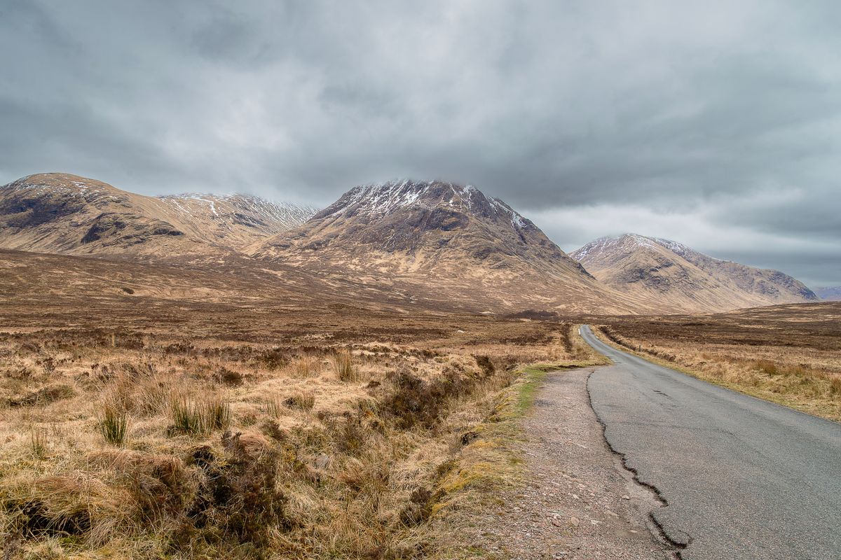
The Blackspots: Where the Signal Is Not
Highland coverage fails in named, predictable places, and the honest list is a planning tool: the Knoydart peninsula, reachable by boat or a long walk and proud of it; Fisherfield, the great empty quarter of the northwest; the Cairngorm plateau, where height does not buy signal because the towers are in the valleys; Glen Affric and the deep glens generally, where the road, the river, and the phone's despair all run along the same floor. Add the pattern behind the names: signal follows the glen roads and dies on the tops and in the side corries, which is the exact inverse of where a walker needs certainty.
So the rule is absolute: in Scotland, the download happens before the glen, every time, at the last town with a connection, and the phone crosses into the hills already carrying its maps. The OS areas for the days ahead, the Google rectangle for the road legs, and the route itself plotted or saved, because a route that lives in the cloud is a route that dies with the signal. Walkers who have wintered in the Highlands add the paper sheet for the day's hill, and this guide will not argue with them: batteries and glens have a long history.
The Road Layer: Getting Between the Hills
Scotland's driving is single-track roads, passing places, and distances that lie by looking short. For the road legs, download the itinerary's rectangles in Google Maps or run the OSM backbone app (the general offline guide explains the mechanics), and treat ferry crossings, to the Hebrides, Orkney, and Shetland, with the same pin-both-ports discipline as our Philippines guide teaches for its archipelago: Scotland's island ferries are CalMac's, the ports are small, and the far shore's signal is not a plan. On the mainland, download by glen and by day rather than by region; the Highlands reward small, certain downloads over one vast hopeful one.
Putting the Stack Together: A Walking Week
For a week based in Fort William: OS Maps carrying the Explorer sheets for Ben Nevis and the Mamores, Glen Coe, and the Grey Corries, downloaded before arrival; grid references enabled; the week's route cards plotted in the app at home, where plotting is a pleasure rather than a negotiation with a hotel connection. Google rectangles for the A82 and A85 corridors and the town itself. The paper Explorer sheet for the biggest day, bought in town, because Fort William's outdoor shops are part of the institution too. And the weather layer read every morning from the mountain forecasts, MWIS and the Met Office mountain service, because in Scotland the map tells you where you are and the forecast tells you whether to be there, and the second answer outranks the first.
The Islands and the Ferries: CalMac Country
Scotland's map problem has an archipelago of its own. The Hebrides, Orkney, and Shetland run on ferries, Caledonian MacBrayne's CalMac network on the west and its northern counterparts, and the offline discipline of the islands is the Philippines discipline in colder water: pin both ports, photograph the timetable board, download the island before the crossing, because the far shore's signal is a hope and the crossing itself is a dead zone with excellent views. On the islands, the OS layer keeps its authority and gains a companion: the single-track road with passing places is the islands' native road form, and the map's job shifts from navigation, the road can rarely be lost, to logistics, distances, fuel, the last shop before the long shore. Island walkers add the tide tables to the stack for the coastal routes and the causeway crossings, a layer no app in this guide supplies and the sea insists on. The pattern is the series' refrain in Gaelic weather: the manager's documents and the local timetables first, the downloaded maps carrying them, the signal last and least.
Bothies, Estates, and the Access Code: Reading the Land's Rules
A Scotland-specific literacy belongs in any honest map guide, because the maps show paths the law treats distinctively. Scotland's access rights, codified in the Land Reform (Scotland) Act and the Outdoor Access Code, give walkers responsible access over most land, a legal landscape unlike England's path-bound system, and the OS sheet's silence about rights is therefore not a prohibition: the path need not be a right of way to be walkable, responsibly, under the Code. The bothies, free shelters maintained by the Mountain Bothies Association, appear in the walker's literature and grid references rather than as bookable dots, and finding them is a deliberate act of the culture: the MBA publishes their locations to members and the community expects the seeker to have done the map work. Deer stalking seasons and estate notices add a live layer in autumn, posted at trailheads and on estate boards, which the downloaded map cannot know and the walker must read on the day. None of this diminishes the stack; it completes it. The OS sheet tells you where everything is. The Code, the bothy ethic, and the estate board tell you how to be there, and a Scotland guide that taught only the first half would be sending you out half literate.
Troubleshooting
The OS app shows the standard map, not the Explorer sheet. The detailed leisure mapping is a layer choice and, for full coverage, a subscription state. Check the map style selector first; the sheet you want is named in the layer list, not the default view.
My grid reference plots in the sea. Letters first, then eastings, then northings, and the two letter groups are not interchangeable with any other square. A reference plotted wrong is almost always a transposed pair; read it as "along the corridor, then up the stairs," eastings before northings, the British schoolroom rule.
The download is huge. Explorer detail is dense. Download per hill area, not per region, and let the road layer carry the spaces between.
Signal vanished but the map did not download. It did, or it did not; there is no third state, and the glen will not negotiate. This is the failure the whole stack exists to prevent, and the fix is procedural: the download check joins the boot-and-bag check at the last town, every time.
Related Guides
If this page answered part of the question, these navigation guides cover the rest of the same ground:
- Offline Maps for the Philippines: An Island-by-Island Download Strategy: The other island geography in the set, where the backbone is an app instead of an agency.
- Offline Maps for Singapore: One Download, the MRT, and the Local Apps: The opposite climate of the same problem: total coverage, no hills, and a transit system for a countryside.
- Offline Maps for Iceland: Ring Road Rectangles, F-Roads, and the Road Authority: The northern sibling: another small country where one authority's data and a ring of downloads carry the trip.
- Offline Maps: What They Are, How They Work, and When You Need Them: The primer underneath every country stack.
Frequently Asked Questions
What is the difference between OS Explorer and Landranger maps?
Scale and purpose. Explorer is 1:25,000, the detailed walker's sheet with field boundaries and paths. Landranger is 1:50,000, covering twice the ground per sheet for touring, cycling, and planning. On the hill, Explorer is the one; the OS Maps app carries both.
Can I use OS Maps offline?
Yes. The OS Maps app downloads map areas to the phone, and the downloaded Explorer and Landranger mapping works with no signal, which is the normal condition in the Highland glens. Download before you leave the last town, every time.
What is a National Grid reference?
Scotland's position language on OS maps: a two-letter square code plus digits giving eastings and northings, such as NN 166 712 for Ben Nevis. Guidebooks, route cards, and mountain rescue use it. A six-figure reference fixes a point to 100 meters.
Where does phone signal fail in the Scottish Highlands?
In the named empty quarters, Knoydart, Fisherfield, the Cairngorm plateau, Glen Affric, and in deep glens and corries generally. Signal follows the valley roads and dies on the tops, which is why the offline download is a rule rather than a preference.
Do I still need paper maps in Scotland?
For a serious hill day, the paper Explorer sheet remains the culture's answer, and this guide endorses it as the backup layer: it cannot run out of battery in a Cairngorm wind. The phone stack is the primary system; the sheet is its insurance.
Photo credits: Nunzio Guerrera (Pexels); Stuart Robinson (Pexels). Photos are served from this site; follow the credit to the library page for the original.