Washington may be the best-mapped hiking state in the country, not because one authority did it, but because three kinds of institution each did their part. The Washington Trails Association, a nonprofit powered by the state's enormous hiking public, maintains the trip knowledge: which trails exist, what condition they are in, and what hikers found there last week. Green Trails Maps, a regional publisher, draws the paper sheets the trails are walked with, numbered and beloved. And the land itself is held by a patchwork of landlords, three national parks, a ring of national forests, and a state park system, each with its own maps and its own pass. A Washington hiker's map stack assembles one piece from each: WTA for choosing, Green Trails for walking, the landlord's map and pass for legitimacy. This guide builds that stack and explains the layers of the state's central tool, the Hike Finder Map, including the one layer that must never be mistaken for something it is not. The general doctrine, authority first and apps second, is the one in our trail maps guide; Washington is where that doctrine has the richest local cast.
Home / Map Skills for Travel and Outdoors
Hiking Maps of Washington State: The WTA Hike Finder, Green Trails Sheets, and Three National Parks
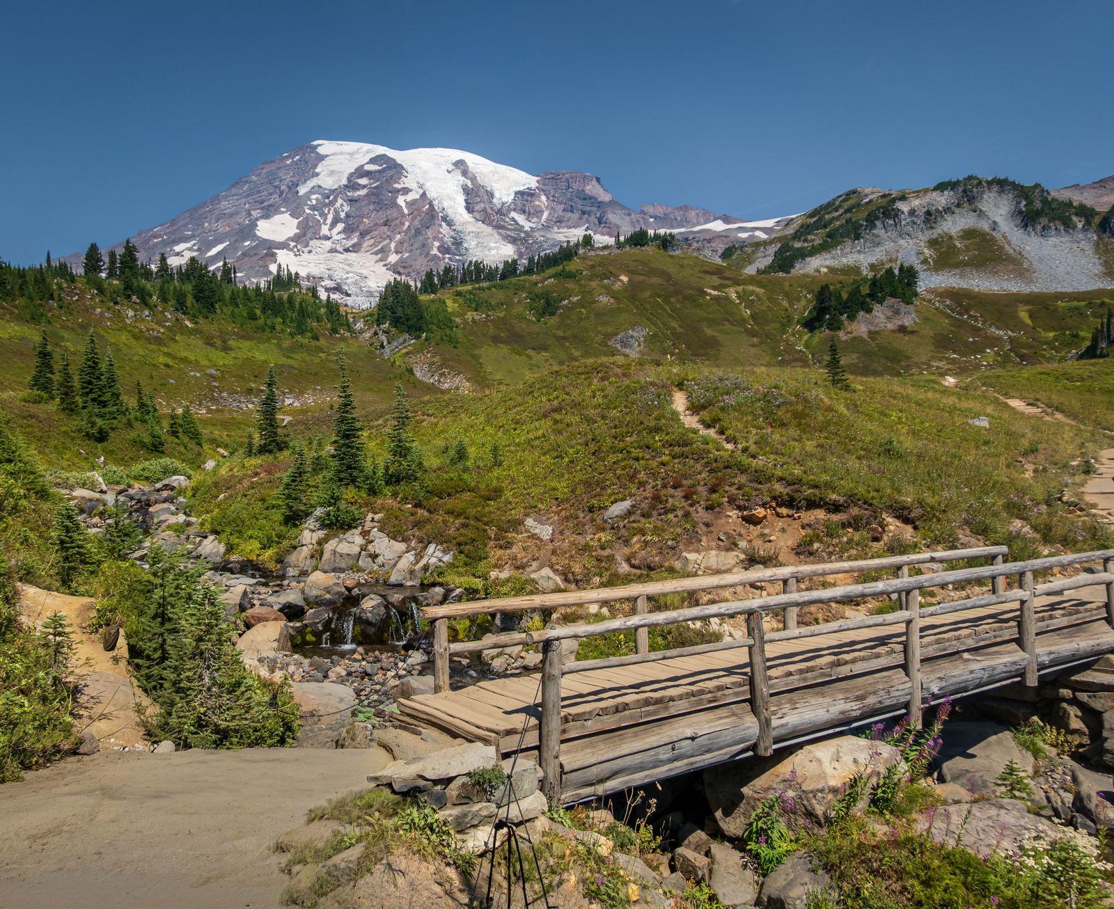
Photo: William Jacobs / Pexels
Layers Before Boots: The Washington Trails Checklist
Check off each step as you finish it. Your progress stays on this page.
0 of 7 complete
0% done
Start With the Hike Finder: The State's Front Door
The WTA Hike Finder Map is where Washington hikes begin. It plots trailheads as dots across the whole state, the Cascades, the Olympics, the Columbia Gorge, the eastern scablands, each dot opening onto the trail's page: the description, the mileage and elevation, the pass required, and the stream of trip reports that WTA's members file after their hikes, which function as the state's living conditions service. A trail's page from last weekend, snow at this pass, blowdowns on that ridge, the road washed at this mile, is worth more than any static map for the decision of where to go this weekend. The map's power is its filters and its honesty about scale: thousands of hikes, searchable by region, length, and difficulty, in a state where the problem is never finding a trail but choosing among fifty. Learn its one cultural rule early: the trip reports are the product, contributed by the community that also builds and maintains the trails, and filing your own report after a hike is how the system you just used gets repaid. For choosing the hike, nothing in this article outranks the Hike Finder, and the guide's remaining layers exist to serve the choice it helps you make.
Two features of the WTA ecosystem complete the front door. Each hike page carries driving directions to the trailhead, the forest road numbers and the turns that map apps, fed a trail name, so often fumble, because a trailhead at the end of nine miles of gravel is a place road navigation was not designed for. And behind the pages stands the work itself: WTA runs one of the largest volunteer trail maintenance programs in the country, and the trails on the map exist in their condition because the community that reads the reports also swings the tools. A Washington hiker's map literacy therefore includes a social fact: the system is a commons with a membership habit, and the trip report you file and the work party you join are part of its cartography, the mechanism by which next season's map stays true.
The Layers: Fire, Smoke, Snow, and One Warning
The Hike Finder Map earns a second look for its data layers, which toggle over the trailhead dots: wildfire information, air quality, and snow among them. In a modern Washington summer, the fire and smoke layers are trip-deciding: a hike can be legal, open, and miserable, or genuinely dangerous, under a smoke plume from a fire two counties away, and the air quality layer is the difference between knowing that at breakfast and learning it at the trailhead. The snow layer shows where snow cover lies, which in the Cascades is a live question from June into August on the high routes. Now the warning, and it is the most important sentence in this article: the snow layer is not an avalanche forecast. Snow cover on a map says where snow exists; avalanche danger is a forecast, made by professionals from weather and snowpack analysis, and in Washington it comes from the Northwest Avalanche Center, whose forecasts govern any winter or spring travel in avalanche terrain. Confusing a coverage layer for a safety forecast is exactly the category error this site exists to prevent. Use the Hike Finder's layers for conditions awareness, use NWAC for avalanche decisions, and let each tool be what it is.
The Paper Layer: Green Trails and Its Numbers
For the walking itself, Washington's paper standard is Green Trails Maps, topographic sheets covering the state's hiking country, each identified by a number that locals cite the way skiers cite runs. The listings show the pattern: 209S, The Enchantments, 269SX, Mt Rainier Wonderland, 332S, Mt St Helens, sheet after numbered sheet across the Cascades and Olympics. The numbers matter because the state's hiking culture speaks them: a guidebook, a trip report, or a ranger will name the sheet your hike lives on, and carrying that sheet, waterproof, contour-true, trail-by-trail, remains the reliable way to navigate the state's backcountry, where signal fails across most of the high country. The Green Trails sheet and the WTA page are complements, not rivals. WTA tells you the trail's story and its current condition; the sheet tells you the ground's shape and the junctions' truth. The phone, with the hike downloaded, makes the third layer, position on the same ground, under the discipline of our hiking maps guide: download before the trailhead, because the Cascades' valleys are dead zones by design of geology.
Three National Parks and a Ring of Forests: Whose Map, Whose Pass
Washington's landlord patchwork decides the official layer of any given hike. Mount Rainier, Olympic, and the North Cascades are national parks, each publishing its own park map through the National Park Service, each with its entrance arrangements and its wilderness permit system for overnight travel. Between and around them lie the national forests, Mount Baker-Snoqualmie, Gifford Pinchot, Olympic, Okanogan-Wenatchee and others, whose trails are administered by the Forest Service and whose trailheads commonly run on the Northwest Forest Pass or its interagency equivalents. State parks answer to the Discover Pass. The trail does not care which landlord holds it, but the parking lot does, and the hiker's map kit for Washington therefore includes a pass check as a standard step: the WTA trail page states the requirement for its trailhead, which is one more reason the Hike Finder is the front door. The official maps follow the same patchwork: the park map for a park hike, the forest's maps and the Green Trails sheet for a forest hike, and no shame in carrying two authorities' paper for a route that crosses a boundary, as the best Washington routes cheerfully do.
The Secondary Bench: Bikes, Rail Trails, and the Apps
Around the core stack sits a bench of specialists. Trailforks is the mountain bike community's map, with trail conditions and difficulty graded by riders, the right lens for the state's bike networks. TrailLink catalogs the rail trails, the converted railway grades that give Washington its gentlest long walks and rides. The general hiking apps carry the state's trails in downloadable form and serve as the position layer everywhere. None of these replaces the stack's spine, WTA for the choice and conditions, Green Trails for the sheet, the landlord for the rules, but each answers a question the spine does not ask. That is the mature shape of a state's map system, and Washington's is worth studying precisely because it was not designed: a nonprofit's trip reports, a regional publisher's numbered sheets, three park maps, and a pass for every landlord, assembled by use into something that works like a system. The hiker who learns it here can walk anywhere in the state with the right map in hand, which is all any map guide has ever promised.
One more bench member deserves its mention for the state's long winters and shoulders: the ski and snowshoe world reads the same Green Trails sheets with a different eye, following the summer trails as winter routes where the avalanche forecast permits, and the state's sno-parks run on their own permit, one more landlord in the patchwork. The instruments do not change with the season. The judgments laid over them, snow, daylight, and the NWAC forecast, do, and a Washington map kit is complete when its owner knows which layer of judgment the season demands.
Two Parks, Two Different Problems: The Olympics and the North Cascades
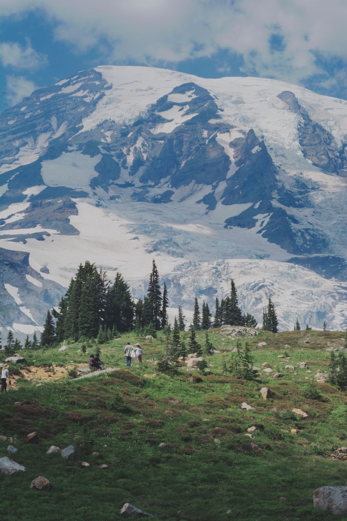
The state's three parks are not three versions of one problem. Olympic is a peninsula of radiating valleys: rainforest rivers running out from a glaciated core, a wild coastline attached to the same park, and no road through the middle, so its map is a fan of separate approaches, each valley its own trip with its own trailhead logic, and its Green Trails and park maps are used valley by valley rather than as a network. Its famous wet is a map consideration too: trails there are read for river crossings and blowdowns, and WTA trip reports in the wet season are the difference between a plan and a guess. The North Cascades are the opposite geometry: one highway, the North Cascades Highway, threading a corridor of the steepest, least visited park country in the contiguous states, where the trails climb from the road in long, committing lines and the map work is about elevation and exposure rather than networks. Rainier, the third, is the single mountain with a ring of approaches, the Wonderland Trail circling it, its sheet, 269SX, the one Washington hikers can picture from memory. A state guide that treated the three as interchangeable would fail its readers in three different directions; the stack this article built, WTA to choose, the sheet to walk, the landlord to obey, survives because it adapts: the same instruments, aimed by the park's own shape. That adaptability, more than any single sheet or site, is what a state's map system is for.
Related Guides
If this page answered part of the question, these travel and outdoors map skills guides cover the rest of the same ground:
- Hiking Maps of Glacier National Park: The NPS Map, the Trails Illustrated Sheets, and the Sun Road: Glacier is not one valley but a small mountain kingdom split by the Continental Divide, and its maps divide the same way: a free official park map...
- Hiking Maps of the Dolomites: The Tabacco Sheets, the CAI Numbers, and the App: The Dolomites are the rare mountain range with a single obvious map answer: the 1:25,000 sheets of Casa Editrice Tabacco, numbered, ruthlessly...
- Hiking Maps in the UK: OS Explorer vs Landranger, Harvey Sheets, and Grid References: Britain is the most thoroughly mapped walking country on earth, and its system is paper at heart: Ordnance Survey sheets at two scales, Explorer...
- Hiking Maps Near Me: Find Trails Worth Walking, Starting From Your Own Door: Near me is the most honest search in hiking and the worst served, because the trail five miles from your door is invisible to the...
- Trail Maps of Colorado: COTREX, USGS Quads, and the Official Layers: another state with an official trail layer
- Trail Maps of Michigan: The DNR System, the Iron Belle, and the North Country Trail: The Midwest state system, built on the same manager-first pattern.
Frequently Asked Questions
What is the best hiking map resource for Washington State?
Start with the Washington Trails Association Hike Finder Map for choosing hikes and reading current conditions from trip reports, and walk with the Green Trails topographic sheet for your area. Add the land manager's own map, National Park Service for the three national parks, Forest Service for the national forests.
What do the numbers on Green Trails maps mean?
Each sheet has a number and a name, such as 209S for The Enchantments or 269SX for Mt Rainier Wonderland, and Washington's hiking culture cites sheets by them. Guidebooks, trip reports, and rangers will name the sheet your hike is on; matching that sheet is how you carry the right paper.
Is the snow layer on the Hike Finder Map an avalanche forecast?
No. The snow layer shows where snow cover exists. Avalanche danger is a professional forecast based on weather and snowpack, published in Washington by the Northwest Avalanche Center. Use the layer for awareness and the avalanche center's forecast for any decision in avalanche terrain.
Which pass do I need for a Washington trailhead?
It depends on the landlord: national park entrances and permits inside Rainier, Olympic, and North Cascades; the Northwest Forest Pass at many national forest trailheads; the Discover Pass at state parks. The WTA page for your hike states the requirement for its trailhead, so check it as part of planning.
Do the national forest and park maps overlap with Green Trails?
Yes, deliberately. The agency maps are the official documents for their land, and Green Trails sheets are the walker-optimized topographic layer across all of it. Carrying the agency map for rules and the Green Trails sheet for navigation is standard Washington practice.
Photo credits: William Jacobs (Pexels); Kirsten Ann (Pexels). Photos are served from this site; follow the credit to the library page for the original.