A topographic map can look like a fingerprint: hundreds of curving brown lines, apparently patternless. They are the opposite of patternless. Every line obeys one definition, a contour line joins points of equal elevation above sea level, and every rule in this guide is that sentence unfolded. Learn the definition and the seven rules that follow from it, and the fingerprint resolves into hills, valleys, ridges, and cliffs you can see. This page is the concept itself; the counting skill that turns lines into a number for a specific point is how to find elevation on a topographic map, and the full sheet craft is how to read a topographic map.
Home / Map Skills for Travel and Outdoors
Contour Lines on a Map: What They Are and the Rules They Never Break
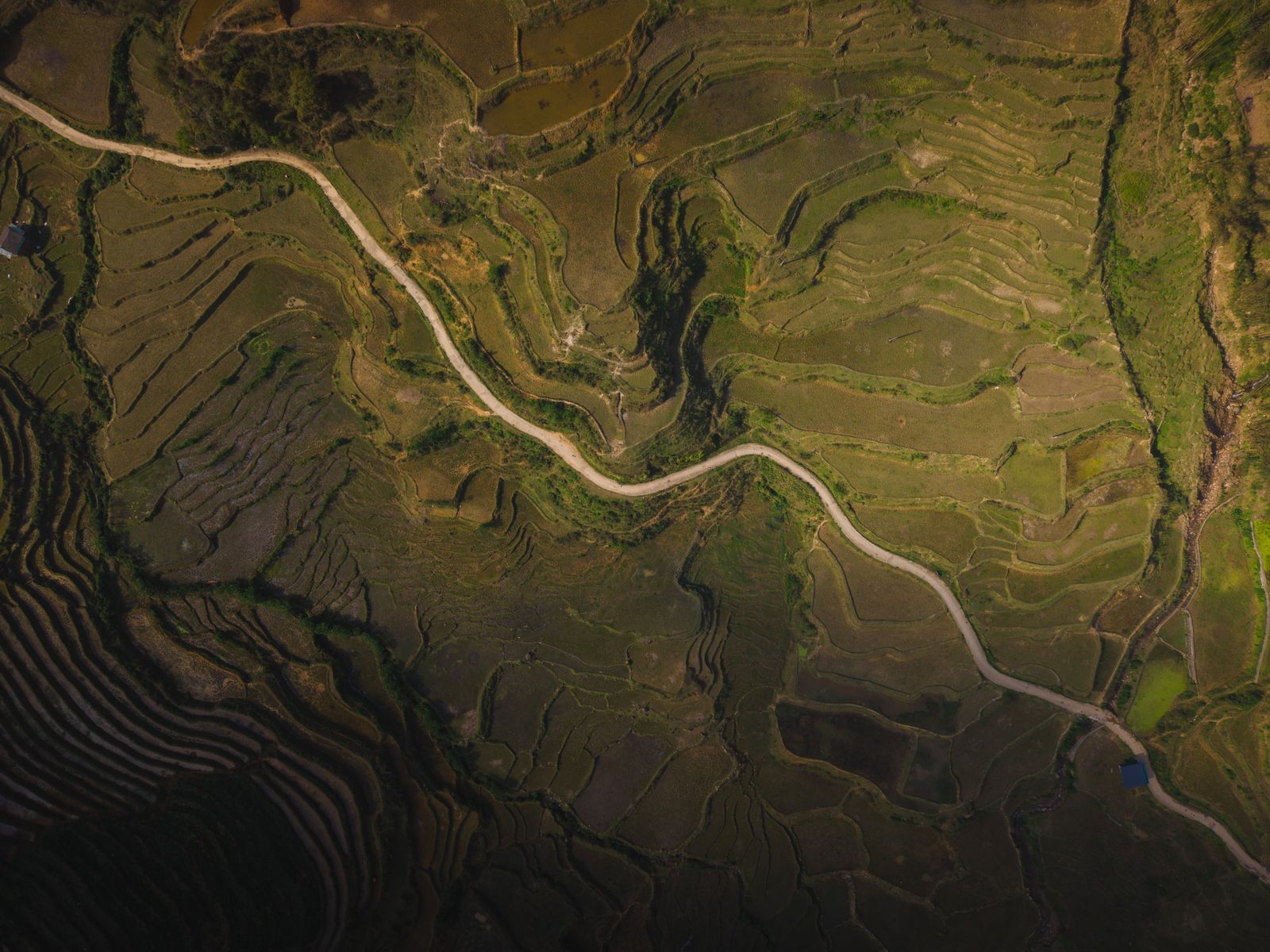
Photo: Ahmet Yüksek / Pexels
Interactive tool
The Contour Rules: Self Test
Check off each step as you finish it. Your progress stays on this page.
0 of 7 complete
0% done
The Definition, Made Physical
Imagine a hill standing in a lake whose level rises in even steps. At each step, the waterline traces a closed curve around the hill at exactly that height. Lift those waterlines onto paper, viewed from above, and you have contour lines. Three consequences are immediate. Every point on one line is at the same elevation, by construction. The lines are level curves, so a walker following one contour neither climbs nor descends, which is why contour following paths and old railway grades hug single lines. And the vertical step between lines is fixed for the whole map, the contour interval, printed in the margin: where the lake rose by 20 feet each time, the lines are 20 feet apart in height everywhere, however far apart they wander on paper. The concept belongs to a family, the isolines: isobars join equal pressure, isotherms equal temperature, and contours are simply the elevation member, which is why weather maps feel familiar once topo maps click.
Rule One: Lines Never Cross, and Never Split
Two contour lines cannot cross, because a crossing point would need two elevations at once, one from each line, and a point on the ground has exactly one height. They cannot split or merge for the same reason: a fork would give the segment beyond it two values. There is one honest exception, the overhanging cliff or cave, where the ground genuinely folds over itself and one map point does stack two elevations; cartographers handle it by letting the lines touch or overlap with the lower line dashed or dropped, and it is rare enough that most map readers will never meet it outside a textbook. In practice, then: if your eye thinks two brown lines cross, one of them is something else, a trail, a boundary, a stream in blue, and the discipline of checking is the rule doing its work.
Rule Two: Spacing Is Slope
The horizontal distance between lines is free to vary, and it carries the slope information. Lines close together mean the elevation changes fast over a short walk: steep ground, up to a cliff where lines crowd into a band. Lines far apart mean gentle ground, plains and broad valley floors where a whole sheet may hold three lines. A slope of even steepness shows evenly spaced lines, like rungs; a slope that steepens upward shows lines crowding toward the top (a convex slope), and one that eases upward shows them spreading (concave). This single rule is most of field navigation: choose the ridge where lines are sparse, fear the headwall where they merge, and estimate a route's steepness from a photograph of the map before your legs learn it the expensive way. It is also the rule behind how to read a elevation map products and hillshade images, which are just spacing translated into light and color.
Rule Three: Index Contours and the Constant Interval
Every fifth contour is an index contour, drawn heavier and labeled with its elevation, so the map can be read without counting from sea level. Between indexes sit four ordinary (intermediate) contours, and the interval between any two neighbors is the same value across the sheet, the contour interval from the margin. A sheet cannot quietly change its interval halfway; terrain that would need a different step gets a different sheet. (Some maps add supplementary contours, dashed lines at half the interval, in very flat country where whole townships would otherwise hold no lines at all; the margin notes them when present.) The index system is what makes the counting method possible at all, and it is the first thing to find on any new sheet: interval in the margin, nearest index to your point, and the rules do the rest.
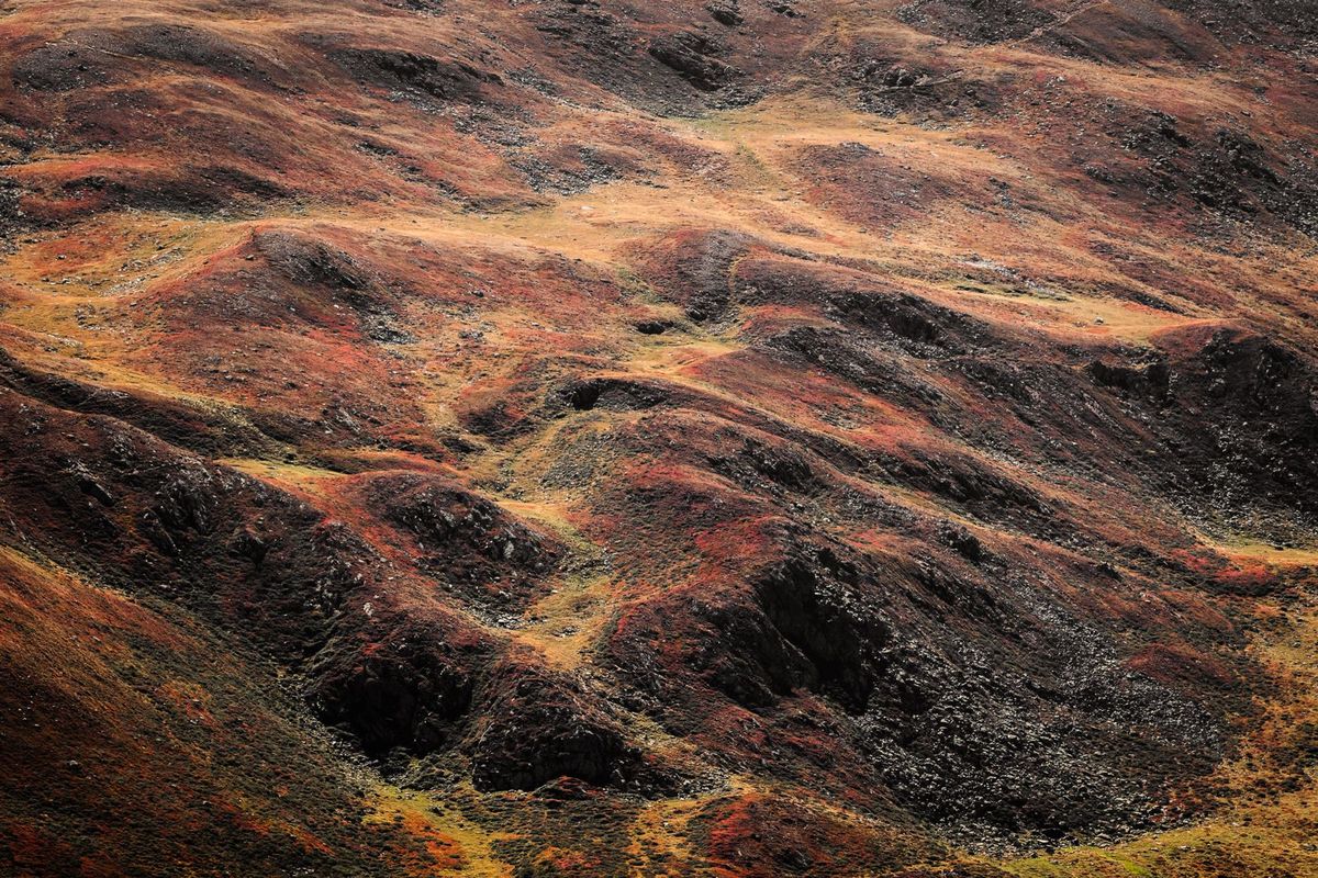
Rule Four: Closed Loops Are Hills, Ticked Loops Are Depressions
A contour that closes on itself describes a hill or a depression, and the map tells you which. Plain closed loops, with elevations increasing inward (read them off the nearest index labels), are a hill: each inner loop is one interval higher, and the summit sits inside the smallest loop, higher than that loop by less than one interval. Loops carrying hachures, short ticks on the line pointing toward lower ground, are a depression: a crater, sink, or quarry, where elevations decrease inward. The ticks exist because a depression's loops are otherwise indistinguishable from a hill's, a genuinely dangerous ambiguity in flat volcanic or karst country. A special case worth its own glance: two sets of loops joined by contours that pinch together describe a saddle or pass, the low point between two high ones, which is where trails cross ranges and where how to read a contour map route profiles earn their keep.
Rule Five: The Rule of Vs in Valleys
Where a contour crosses a valley or stream, it bends into a V shape, and the V points upstream, uphill, toward higher ground. The reason is the definition again: the line must climb the valley walls to stay at one elevation, so it detours up the valley and back, and the point of the V aims at the heights the water came from. Read Vs and the drainage of a whole sheet organizes itself: streams run through the Vs' points in the direction opposite the point, ridges between valleys show as Vs pointing the other way (downhill, as U shapes or rounded noses), and the pattern of valleys and spurs that decides where walking is easy is visible at a glance. Beginners reverse this rule more than any other; the anchor is the water, which flows out of the V's point, never into it.
Benchmarks, Spot Heights, and What Lines Cannot Say
Contours share the sheet with exact elevations: benchmarks (surveyed points marked BM with a number) and spot heights at summits and junctions, which give single points to the foot. Contours themselves speak in brackets: a point between the 1,060 and 1,080 lines is somewhere in that twenty, and the lines alone cannot narrow it further, a precision statement the counting guide develops. Lines also cannot show features smaller than the interval: a 15 foot cliff on a 20 foot interval sheet may appear as a slight crowding or not at all, which is why map reading pairs the lines with symbols, cliffs, quarries, and levees all have their own marks in the legend, the territory of map legend symbols. The lines are the terrain's grammar; the symbols are its vocabulary; fluency needs both.
Reading a Landscape in Ten Seconds: The Rules at Work
Put the rules together on one imaginary sheet and watch them read it for you. In the corner, lines spread wide and lazy: a plain, where walking is easy and views are long. They begin to gather and form nested loops with numbers climbing inward: a hill, and the spacing on its left side is tighter than on its right, so the west face is the steep one and the east the walking side. Between this hill and its twin, the loops pinch into a figure eight waist: the saddle, where the crossing trail will be. A blue line threads the valley below, and every contour it crosses bends into a V pointing back toward the saddle: the rule of Vs confirming the drainage runs from the saddle down past your plain. One small ring of ticked lines sits alone on the plain: a depression, a sink to route around in wet weather, not a pond to aim for. Nothing on that sheet was labeled with any of those words, and you read all of it in ten seconds, because the rules are not trivia about lines; they are the terrain's own grammar, and this paragraph is what fluency feels like from the inside.
Related Guides
This guide does not stand alone. The travel and outdoors map skills guides below take up the questions it leads into:
- Do You Know How to Read a Map? A 12 Question Self Test With a Full Answer Key: Reading about maps is not the same as reading one, so this article is a test instead of a lecture.
- How to Read a Map for Driving: Road Atlases, Mileage Charts, and Exit Numbers: A road atlas is a system, not a picture: road classes and shields rank the network, the mileage chart gives distances between junctions without a...
- How to Read a Map for Kids: A Lesson Plan Parents and Teachers Can Run Today: Teaching a child to read a map is not a vocabulary lesson; it is a sequence of small revelations, starting with the idea that a map is a drawing...
Frequently Asked Questions
What is a contour line in simple words?
A line on a map that joins points of equal elevation. Walk along one contour line and you neither climb nor descend. The set of lines, spaced by a fixed vertical interval, draws the shape of the land: hills, valleys, ridges, and slopes, in a form you can read from above.
Why do contour lines never cross?
Because a crossing point would have to be at two different elevations at the same time, one from each line, and a real point has one height. The only exception is an overhanging cliff or cave, where the ground folds over itself; maps handle it as a special case and it is very rare.
How can you tell steep from gentle ground by contour lines?
By their spacing on paper. Closely spaced lines mean elevation changes quickly over a short distance: steep ground, up to cliffs where lines nearly merge. Widely spaced lines mean gentle slopes or flat land. Even spacing means a uniform slope.
What does it mean when contour lines form closed loops?
A hill, if elevations increase toward the center, with the summit inside the smallest loop. If the loops carry small tick marks (hachures) pointing inward and downhill, they mark a depression instead, a bowl or crater where elevations decrease toward the center.
What is the rule of Vs for contour lines?
Where a contour crosses a valley, it bends into a V whose point aims upstream, toward higher ground. Water flows out of the point of the V. The rule lets you read drainage at a glance: valleys, streams, and the ridges between them organize themselves around the direction the Vs point.
Photo credits: Ahmet Yüksek (Pexels); Simon Rizzi (Pexels). Photos are served from this site; follow the credit to the library page for the original.