Stand in front of a good elevation map of a mountain range and the terrain feels visible before you read a single number. That immediacy is engineered: the map is speaking in color and shadow, two encodings your visual system parses instantly, while the third encoding, contour lines, waits with the precise numbers. Reading an elevation map well means using all three layers in the right order: color for the story, relief for the shape, contours for the facts. The measurer below works real distances for the route pricing at the end; first, the three languages.
Home / Map Skills for Travel and Outdoors
How to Read an Elevation Map: Color, Relief, and the Lines Between
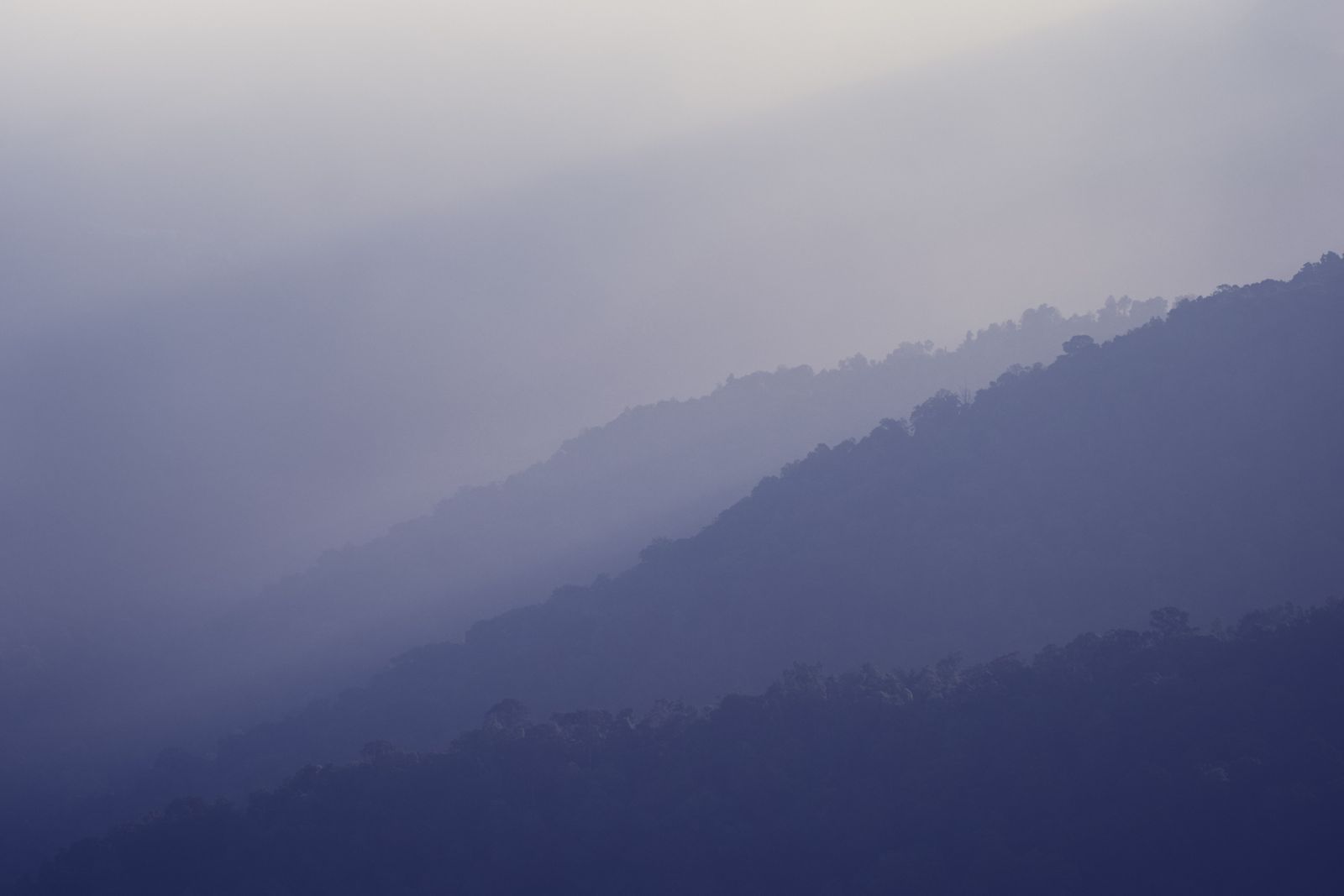
Photo: 6th Era Photography / Pexels
Interactive map
Distance Measurer: Get the Run for the Relief
Click the two ends of a slope leg and read the horizontal distance, the run. Divide the elevation change you read from the map colors and contours by this run and you have the grade this article prices routes with.
Total straight-line distance, 0 points
Click the map to start
Distances are great-circle (haversine, mean Earth radius 6,371 km): the shortest path over the surface, not a road or trail distance. Map data © OpenStreetMap contributors.
Layer One: Hypsometric Color
Elevation maps color height in bands, a system called hypsometric tinting. The conventional ramp climbs from lowland greens through yellow and tan to brown, grey, and summit white, so a reader can price a landscape at a glance: the green valley floor, the tan shoulder, the white tops. Two warnings keep the colors honest. First, the ramp is a choice, not a law: every map's legend sets its own band boundaries, and the same green can mean 200 meters on a coastal sheet and 2,000 on a plateau sheet; read the legend before the landscape. Second, color is not climate: green lowlands on an elevation map mean low, not lush, and the Sahara's lowlands are as green on the tint ramp as Ireland's. Ocean floors get the mirror treatment in blues, deepening with depth. Used rightly, the bands answer the first route question, how high does this day go, before any line is read. The scale of the numbers involved is worth anchoring: from Badwater Basin at minus 86 meters, the lowest land in North America, to Everest at 8,849 meters, the whole inhabited story of elevation fits in under 9 vertical kilometers, and Denali's 6,190 meters rules its continent. Our what is elevation guide covers what the zero those numbers hang from actually means.
Layer Two: Shaded Relief and the Northwest Sun
The shadows on an elevation map are a fiction with a fixed rule: the landscape is lit as if by a sun in the northwest, shining from the upper left at about 45 degrees. Slopes facing northwest catch the light and render bright; slopes facing southeast fall into shade. Once you know the light's address, the relief reads like a photograph: ridges stand out as bright lines against shaded valleys, and the drainage pattern of a whole range becomes visible at arm's length. The convention exists because light from the south, the natural direction in northern hemisphere life, inverts the relief for most readers, making valleys look like ridges; northwest light keeps the illusion stable. When a digital map lets you move the sun, resist: a nonstandard azimuth is a party trick that quietly scrambles your reading of every slope. Relief gives shape but never numbers, which is why the third layer exists.
Layer Three: Contours and Spot Heights, the Exact Record
Contour lines join points of equal elevation, and on an elevation map they ride over the color and relief as the audit layer: the color said "high," the contour says 1,840 meters, in print. Index contours carry the numbers; intermediate lines fill the steps between; and spot heights mark surveyed points, summits and road passes, with exact figures. Reading them fluently is a skill of its own, taught in full in our how to read a contour map, with the slope arithmetic a route planner needs. The elevation map's craft is the combination: choose the pass by color, confirm its shape by relief, price it by contours and the spot height on its saddle. Our topographic map guide treats the paper original of which the elevation map is a specialization, and what is elevation gain turns the numbers into the currency hikers actually budget.
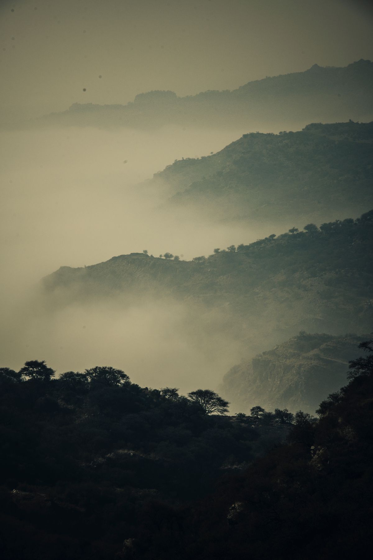
Pricing a Route From the Three Layers
A worked pass: the map shows a trail leaving a green valley, crossing tan bands, and threading a saddle below a white summit. Color says the day climbs from lowland to high country, roughly the ramp's full story. Relief says the saddle is a true low point on the ridge, not a shoulder that dead ends. Contours give the audit: valley floor at 400 meters, saddle spot height 1,150 meters, so 750 meters of gain, and Naismith's rule, an hour per 5 km plus an hour per 600 meters of gain, prices the climbing honestly before the distance is even counted. That three layer reading, story, shape, audit, takes under a minute and is the difference between reading an elevation map and merely looking at one. Digital tools accelerate the same reading: elevation profiles in the apps of our trekking guide draw the day's ups and downs as a graph, and the underlying grids, like the global Copernicus GLO-30 dataset at 30 meter resolution, are the raw material both the colors and the profiles are rendered from. The phone side of finding a spot's height is in how to find elevation.
Bathymetry, and Other Places Elevation Goes Negative
Elevation maps do not stop at the shoreline. The ocean floor gets the same three layer treatment in mirror: blue tints deepening with depth, shaded relief that reveals mid ocean ridges and trenches as dramatic terrain, and depth contours, called isobaths, with sounding figures where ships need certainty. Reading one teaches a humbling fact: the largest mountain system on Earth is the mid ocean ridge network, invisible from any shore. On land, below sea level country is rarer and stranger: Badwater Basin at minus 86 meters, the Dead Sea shore lower still at roughly minus 430 meters, the lowest exposed land on the planet. Elevation maps of such places wear their lowland colors below the zero line, a reminder that the zero itself, sea level, is a chosen datum, not a floor. Our what is elevation guide explains the datums, geoid versus ellipsoid, that decide where zero sits, and why two honest tools can disagree about a summit by a few meters while both are right.
Reading Elevation Maps of Places You Will Never Walk
The genre has a second life beyond route planning: it is how humans read landscapes they will only ever see from above. Wildfire crews read elevation with slope and aspect to predict a fire's afternoon run uphill. Flood planners read it to find where water will go before it goes there. Farmers read it for drainage and frost pockets, since cold air pools in hollows the tints make visible. Historians read it to find the ridge a road has followed for a thousand years, and the pass an army had to take. In each case the reading order from this guide holds: color for the story, relief for the shape, contours and figures for the audit. A person who can read an elevation map owns a way of seeing terrain that transfers to every landscape on the planet, including the ones under the sea, which is why the skill anchors this site's outdoor shelf alongside how to read a topographic map and the map and compass workflow.
From Map to Legs: Slope, the Number Hikers Feel
Elevation becomes effort through slope, and the elevation map holds slope in its contour spacing: lines packed tight are a wall, lines spread wide are a meadow, and the percentage between is rise over run, the arithmetic our contour map guide works in full. For route judgment, three bands cover most decisions. Under about 10 percent, walking is walking. Between 10 and 25 percent, pace drops and poles earn their weight. Above roughly 30 percent sustained, you are scrambling or switchbacking, and a trail drawn straight up such a slope on any map deserves suspicion. The color bands preview these bands before a single contour is counted, because a route that crosses five tint boundaries in a short horizontal distance is announcing its slope in the only language a glance speaks. Combine that with the gain figure and Naismith's pricing from the worked example, and an elevation map has told you the day's true shape: not just how high, but how steep, how long, and whether the descent, which knees experience as the real cost, mirrors the climb.
Related Guides
The closest companions to this guide are the travel and outdoors map skills guides below. Each one picks up a thread this page starts:
- Best Hiking Map App for Europe: National Maps, Huts, and Borders: Europe has no single hiking map because Europe has no single mapping tradition: it has the finest national mapping agencies on earth, each with...
- Best Hiking Map App for iPhone: AllTrails, Gaia GPS, onX, and Apple Maps on Trail: The iPhone hiking contest is not the general hiking contest, because iOS changes the answers.
- Best Hiking Map App for Norway: UT.no, Marked Routes, and Cabins: Norwegian hiking runs on a volunteer institution: the Norwegian Trekking Association, DNT, which marks the routes, staffs the cabins, and...
Frequently Asked Questions
What do the colors on an elevation map mean?
They are hypsometric tints: bands of elevation, conventionally climbing from greens in the lowlands through yellows and browns to grey and white at the summits, with blues deepening for ocean depth. The exact height each band means is set by that map's legend, so read the legend first; the same green can mean very different heights on different maps.
Why does the shading on an elevation map come from the upper left?
By convention, shaded relief is drawn as if lit by a sun in the northwest, at about 45 degrees elevation. Northwest facing slopes render bright and southeast facing slopes dark. The convention prevents relief inversion, the illusion that swaps ridges and valleys, which natural southern light would cause for most readers.
What is the difference between an elevation map and a topographic map?
A topographic map is the full survey document: contours, spot heights, and all the cultural features, roads, buildings, boundaries. An elevation map is a presentation focused on height, adding hypsometric color and shaded relief over the contours. Every elevation map is built on topographic data; not every topographic map wears the color and relief.
How accurate are digital elevation maps?
It depends on the dataset. Global grids like Copernicus GLO-30 sample the surface every 30 meters and are excellent for route planning and profiles; national lidar datasets resolve far finer and can see individual buildings and trees. Satellite grids measure the surface they see, canopy and roofs included, which is why a forest summit can read a few meters proud of the ground.
How do I find the elevation of a specific point?
On paper, interpolate between the contours bracketing the point and check for a spot height. Digitally, tap the point in a map app with elevation data, or use our how to find elevation guide, which covers Google Maps, phones, and dedicated tools, and elevation on Google Maps for that app specifically.
Photo credits: 6th Era Photography (Pexels); Muhammad Usman (Pexels). Photos are served from this site; follow the credit to the library page for the original.