What Is Elevation? Height Above Sea Level, in Plain Terms
By the Osm4People editorial team
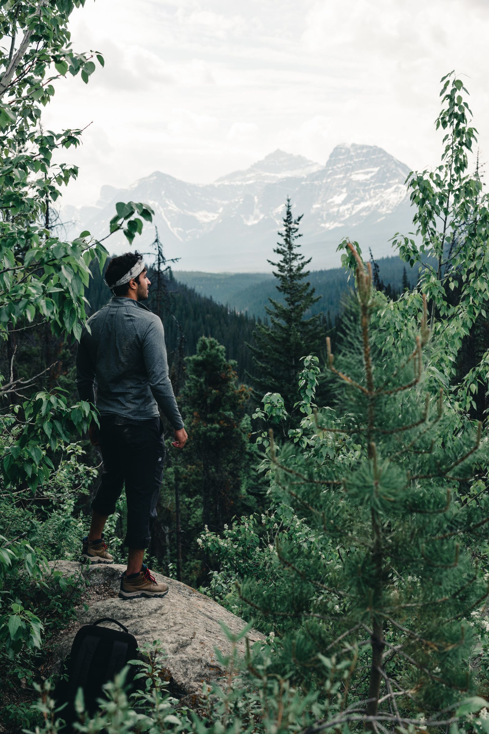
Photo: Ali Kazal / Pexels
Elevation answers a deceptively simple question: how high is this place? Not how tall it stands above the valley floor, not how far it is up the mountain, but how far it sits above the level of the sea, the one reference surface the whole planet shares. That single number, printed on town signs, airport charts, and hiking maps, quietly governs the weather you will meet, the water in your pot, and the breath in your lungs. This article defines elevation precisely, builds a ladder of real places with their published elevations so the scale becomes physical, separates the three words everyone confuses (elevation, altitude, and height), and teaches the one conversion habit, feet to meters, that makes elevation numbers worldwide readable at sight.
A note on what elevation is not: it is not how much climbing you will do. That is elevation gain, a different and equally useful number, and it has its own article: what is elevation gain.
Interactive map
Distance Measurer: Pair the Horizontal With the Vertical
Elevation is the vertical half of position; this tool gives you the horizontal half. Click two places and read their distance, then set it beside their elevations from this article's ladder to feel the shape of the land between them.
Elevation is the vertical distance between a point on the Earth's surface and mean sea level. Mean sea level is the sea's average surface, smoothed of waves and tides, extended imaginatively under the continents. Surveyors spent centuries pinning this reference down, and modern measurements use a mathematical model of it called the geoid, but the idea you need is the seashore one: stand at the ocean, and your elevation is zero. Every step inland and upward adds to the number; a place below the sea's level, in a desert basin, carries a negative elevation and is proud of it.
Two consequences follow. First, elevation is a property of a place, not of a journey: Denver has an elevation whether or not anyone climbs to it. Second, elevation is absolute and comparable worldwide: 2,000 m in the Alps and 2,000 m in the Andes are the same height above the same sea, which is why pilots, doctors, and meteorologists can all use one number and mean the same thing.
The Elevation Ladder: Real Places, Published Values
Numbers become intuition when they hang on places. Read this ladder from the bottom up.
Place
Elevation
In feet
Badwater Basin, Death Valley (lowest land in North America)
-86 m
-282 ft
Sea level (any beach)
0 m
0 ft
Denver, Colorado
1,609 m
5,280 ft
Mount Whitney, California (highest in the contiguous US)
4,421 m
14,505 ft
Denali, Alaska (highest in North America)
6,190 m
20,310 ft
Mount Everest (highest land on Earth)
8,849 m
29,032 ft
Three lessons hide in the ladder. The negative at the top: land can sit below the sea, in basins the ocean never reaches, and Badwater's -86 m is measured with the same ruler as Everest's 8,849. The Denver row: 5,280 ft is exactly one mile, which is why Denver is the Mile High City, a nickname that is a measurement. And the span: from the lowest North American land to the highest is about 6,276 m of vertical world, and human beings live, work, and boil kettles at nearly every level of it.
Elevation, Altitude, Height: Three Words, Three Meanings
Word
Means
Used by
Elevation
Height of a ground point above sea level
Maps, hikers, town signs
Altitude
Height of a thing above sea level (or above ground) while off the ground
Pilots, who also say altitude for height above the terrain below
Height
The vertical size of an object itself, base to top
Builders, and anyone describing a tower or a tree
The Eiffel Tower has a height of 330 m and stands at an elevation of about 35 m; an aircraft passing over Paris flies at an altitude. Mixing the first two is the classic error: a mountain's elevation says where its summit sits above the sea, while its height, in the mountaineer's sense of prominence, is a different and fiercer statistic. For everything on the ground, elevation is your word.
Why Elevation Changes Your Day
The air thins. Air pressure falls as elevation rises, and with it the oxygen in each breath. At Denver's 1,609 m the effect is a noticeable breathlessness on stairs for a visitor from the coast; at 3,000 m and above, altitude sickness becomes a real planning factor for anyone who ascends fast, which is why mountain itineraries build in slow days.
Water boils cooler. Lower pressure lets water boil below 100 °C: at Denver it boils at about 95 °C, and cooking times for pasta, rice, and eggs stretch accordingly. High-elevation recipes are not folklore; they are physics with a timer.
Weather cools. Air temperature falls with elevation at roughly 6.5 °C per 1,000 m in average conditions, the lapse rate. A summit 1,500 m above its trailhead is typically about 10 degrees cooler, with stronger wind besides, which is why the jacket goes in the pack on a warm morning.
Your phone knows it, approximately. Phones estimate elevation from GPS and from barometric pressure where a sensor exists; GPS elevation is noticeably less accurate than GPS position, with errors of 10 to 20 m being unremarkable, so treat a phone's elevation as a good estimate, and a survey marker's printed figure as the truth. The Distance Measurer on this page pairs horizontal distance with place, and our trail guides under best hiking map app show where elevation profiles live in the apps.
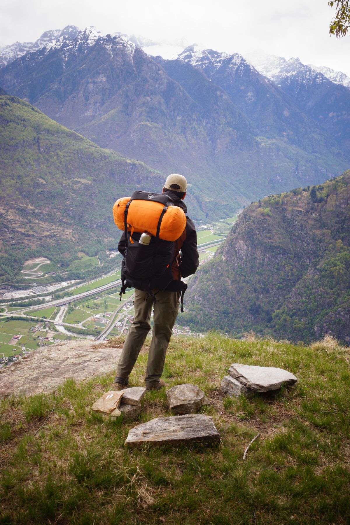
A backpacker looks over a lush valley in the Swiss Alps
Feet and Meters: The 0.3048 Habit
The world splits between meters and feet, and elevation figures arrive in both. The conversion is one of the few exact numbers in this whole subject: one foot is defined as exactly 0.3048 m. So meters equal feet times 0.3048, and feet equal meters divided by 0.3048, roughly times 3.281. Build two anchors and you can estimate anything: 1,000 m is about 3,281 ft, and 1,000 ft is about 305 m. Check the ladder with the habit: Everest's 8,849 m times 3.281 gives 29,032 ft, the published figure. When a sign, a map, and an app disagree about a place's elevation, check their units before doubting anyone; a shocking share of elevation arguments are a feet figure arguing with a meters figure, both correct.
Related Guides
This guide does not stand alone. The travel and outdoors map skills guides below take up the questions it leads into:
Your phone can estimate it: a GPS or compass app will show it, and the explorer tools on this site report position from which elevation services derive it. Expect phone accuracy within roughly 10 to 20 m. For a town or a summit, the published surveyed figure, on the sign, the map, or the peak register, is the number to quote.
Can elevation be negative?
Yes. Land below sea level exists on every inhabited continent: Badwater Basin at -86 m, the Dead Sea shore, the lowest land on Earth, at roughly -430 m, and parts of the Netherlands protected by dikes. Negative elevation simply means the sea would cover the place if it could reach it.
What is the difference between elevation and altitude?
Elevation is the height of a point on the ground above sea level. Altitude is the height of something above a reference while off the ground, used chiefly in aviation. A parked aircraft sits at the airport's elevation; once airborne, it flies at an altitude. On the ground, elevation is almost always the word you want.
Why does my GPS show a different elevation from the sign?
Because GPS measures height above a smooth mathematical model of the Earth, then converts it to sea level using a geoid model, and both steps carry error; vertical GPS error is larger than horizontal. Barometric phone sensors drift with the weather. The sign was placed by surveyors with better instruments and unlimited patience. Believe the sign, and use the phone for changes and estimates.
At what elevation does altitude sickness start?
Susceptible people can feel it from about 2,500 m, and the risk grows with height and speed of ascent. The standard defenses are unglamorous: ascend gradually, sleep lower than your highest point of the day where you can, hydrate, and descend if symptoms worsen. Elevation numbers on a map are therefore medical information, not just trivia, which is one more reason to read them fluently.
How was Everest's elevation measured?
By generations of surveyors, most recently by joint Chinese and Nepali teams using satellite positioning, radar for the snow depth, and classical leveling carried up from the sea. The current agreed figure, 8,848.86 m, rounds to the 8,849 m used in this article. That two nations publish one number is surveying's version of a handshake.
What does elevation mean on a weather forecast?
Forecasts are often given for a reference elevation, and mountain weather services state it explicitly because a valley town and its surrounding peaks live in different climates on the same day. When a forecast says the freezing level is 2,800 m, it is using elevation as a coordinate for the whole sky: below that height, precipitation falls as rain; above it, as snow. Reading elevation fluently turns a forecast from a town's weather into a mountain's, which is why skiers and hikers plan by freezing levels and lapse rates rather than by the number beside the nearest resort's name.
Is sea level the same everywhere?
The phrase hides real subtlety. Sea level is not a perfect sphere's surface: gravity varies, ocean currents pile water gently uphill, and the geoid, the true shape of the sea's surface extended under the land, bulges and dips by tens of meters around the planet. Different countries historically leveled their elevations from their own tide gauges, so a border can carry a small step where two national systems meet. Modern satellite geodesy has ironed most of this out, and for every purpose in this article, hiking, flying, and boiling pasta, mean sea level is one honest surface. Just know that the simplicity is an achievement, not an accident.
Photo credits: Ali Kazal (Pexels); Sajad. isz (Pexels). Photos are served from this site; follow the credit to the library page for the original.