Ask Google Earth "how high is this" and it answers from four different mouths. Move your mouse and a number ticks quietly in the corner. Search a place and its card may carry a height. Draw a path in the Pro version and a chart unrolls beneath it, elevation against distance, the whole climb in one line. Each answer is real, and each answers a different question, which is why Earth confuses people who expected one elevation feature with one button. This guide separates the four surfaces, teaches the readout most users never notice, and is honest about the boundary of the tool: Earth will show you elevations all day, but the web version will not measure the difference between two heights for you, and knowing that in advance saves a frustrating half hour.
Home / Map Skills for Travel and Outdoors
How to Find Elevation on Google Earth: Cursor Readout, Profiles, and Honest Limits
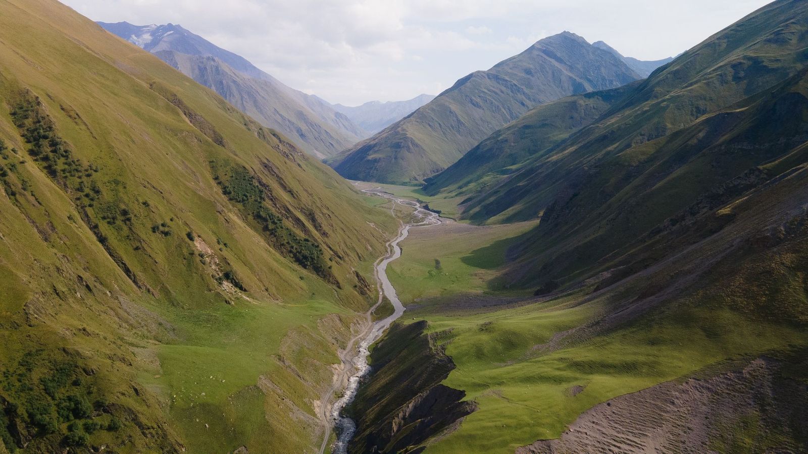
Photo: Nadezhda Moryak / Pexels
Read Elevation in Earth: The Surface Checklist
Check off each step as you finish it. Your progress stays on this page.
0 of 6 complete
0% done
Answer One: The Cursor Readout, Earth's Quietest Feature
In Google Earth Pro and the desktop-grade 3D viewer, the status bar at the bottom of the window carries a readout most users have never consciously seen: as the cursor moves across the terrain, coordinates and elevation update continuously, the elevation being the height of the ground under the pointer, above sea level. This is the fastest elevation instrument in the whole product. Hover a summit, a trailhead, a proposed campsite, and the number is simply there, no clicks, no menus. Two habits make it trustworthy. Give the terrain a moment to load at full detail before reading, because coarse terrain data refines as you zoom, and the number can shift slightly as the mesh sharpens. And read at a sensible zoom: at continental zoom the cursor covers valleys per pixel, and its elevation is an average wearing a precise costume. Zoomed to the scale of the question, a hill, a field, a route segment, the readout is the honest answer to "how high is this spot," and it is the feature the rest of this article builds on.
The Trap Beside It: Camera Altitude Is Not Ground Elevation
The same status bar carries a second altitude that has misled a generation of users: the eye altitude, the height of your virtual camera above the ground (in some versions expressed above sea level), which changes every time you zoom. Zoom out and it soars to hundreds of kilometers; the terrain below has not moved. Confusing the two numbers produces the classic report that a mountain's elevation "changes" as you zoom, or that a sea-level beach sits at 400 meters because the camera does. The discipline is simple: the elevation you want is the one tied to the cursor's position on the ground, labeled as elevation in the readout, while the eye value describes your viewpoint and answers only questions about the view itself, like how much territory the frame contains. When you report an elevation from Earth, report the ground number, and if a screenshot carries both, say which one you are quoting. Our hub guide on how to find elevation routes between all the tools for this job; Earth earns its own article because its two altitudes sit close enough together to be confused daily.
Answer Two: Place Search and the Info Card
Search for a named place, a peak, a town, a lake, and Earth's info card may state an elevation directly. For prominent summits and settlements this is the quickest route of all, one search and the figure is printed, drawn from reference data rather than sampled from the terrain mesh. Its limits are coverage and meaning. The card exists for places notable enough to have one, and the elevation it reports is the place's official or reference value, typically the summit for a peak or a representative point for a town, not the height of wherever your cursor happens to rest. A town in a valley with hills inside its limits has one card elevation and many real ones. Use the card when the question is about the place as a named thing, "how high is Denver, how high is the Matterhorn," and use the cursor readout when the question is about a spot, which is most field questions. The two agreeing is a good check; the two disagreeing usually means the card is describing the postcard point and your cursor is somewhere more honest.
Answer Three: Show Elevation Profile in Earth Pro
For a route, a ridge, a day's hike, a single spot height is the wrong unit; you want the whole profile. Google Earth Pro, the free desktop application, provides it: draw or import a path, right-click it, and choose Show Elevation Profile. A chart opens beneath the 3D view plotting elevation against distance along the path, with the total gain and loss, the maximum and minimum, and a marker that tracks your cursor along both the chart and the terrain simultaneously. Hover the steep section on the chart and the view shows you the exact slope on the ground that produces it. This is the most powerful elevation surface Earth offers and the one most worth the desktop install, because it answers the questions hikers, cyclists, and road planners actually ask: where is the climb, how steep, how long, and what is the total cost of the day. Web Earth, as of this writing, does not offer the same profile tool, which is a genuine capability gap between the versions and the main reason Pro remains on working machines years after its supposed retirement.
Answer Four: Reading the Terrain Itself
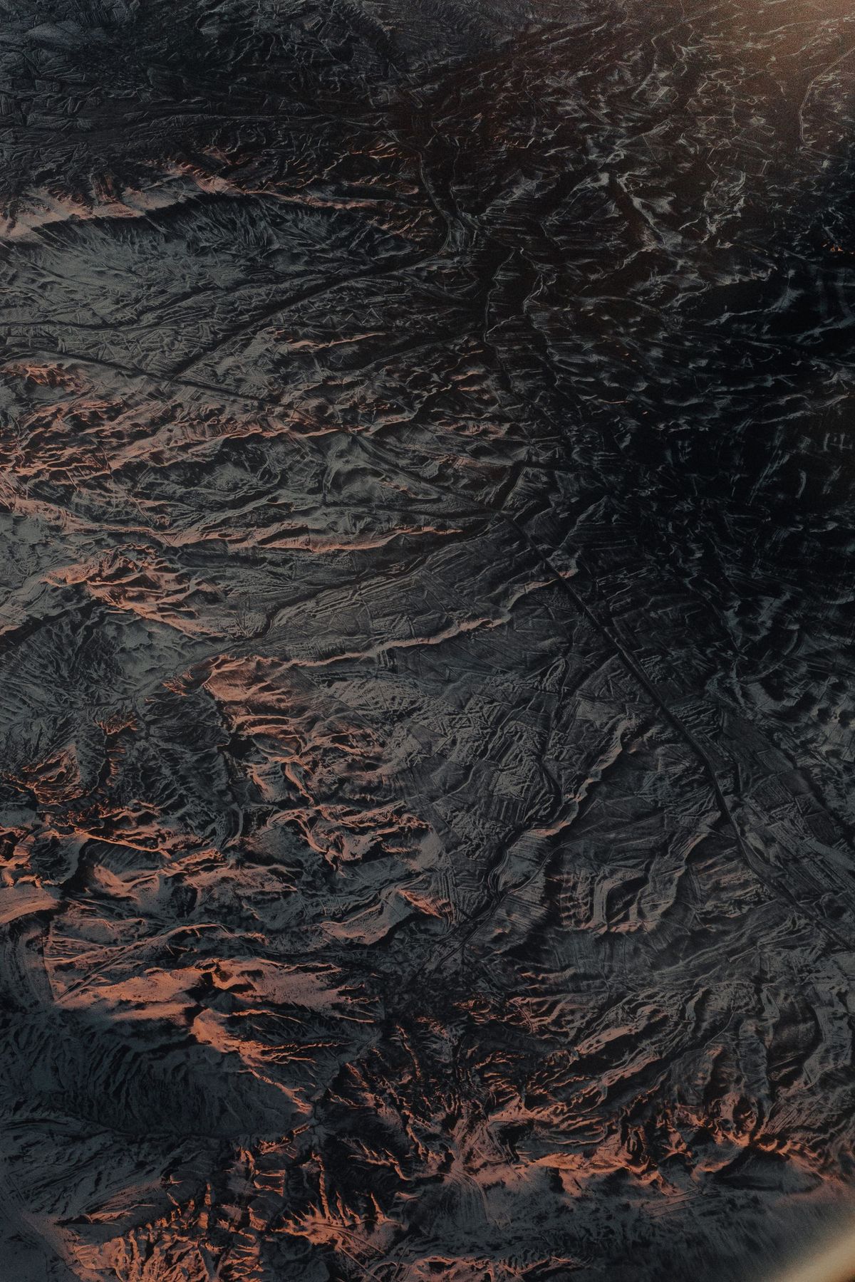
Sometimes the number is not the point; the shape is. Earth's 3D terrain, especially with the light raking across it, teaches elevation the way a raised-relief map does: valleys carve, ridges stand, a pass announces itself as the low notch in a wall. Exaggeration settings in Pro can amplify the relief for teaching or planning, at the honest cost of making every hill a mountain if you forget the setting is on. Contour lines are the other terrain language, available in Earth through added layers and topo overlays rather than as a native web feature; where you need contours as the primary source, dedicated topo tools and our guide to finding elevation on onX, whose Topo basemap is built around them, serve better. The skill worth taking from this section is comparative: Earth is unmatched for seeing a landscape's structure at a glance, and that structural reading often decides the route before any number is consulted. Use the terrain to choose where to measure; use the readouts and profiles to measure it.
What Earth Cannot Do: The Honest Limits
The limits deserve their own section because they are specific. Web Earth will not measure an elevation difference between two points for you; there is no tool that reports "this ridge is 212 meters above that trailhead" in the browser version, so the arithmetic, read two cursor values and subtract, is yours to do, with the Pro profile as the grown-up alternative. Earth's elevation data itself is a model, built from satellite and survey sources of varying vintage and resolution; it smooths sharp features, so a narrow summit or a cliff edge reads as its neighborhood's average, and vertical accuracy is meters to tens of meters depending on terrain, not the centimeter confidence the readout's decimals imply. Elevations are above sea level on the model's datum, which is what you want for comparison, but they are not a substitute for a surveyed height where a surveyed height is what the law or the engineering requires. And like all of Earth's imagery and terrain, the data has a vintage; a new quarry, a fresh landslide, a reservoir filled last year may not exist in the model yet. None of this diminishes the tool. It defines the tool, and a defined tool gets used for what it is good at: fast spot heights, whole-route profiles, and landscape structure, anywhere on Earth, for free.
A Field Routine: Elevation Questions in Order
Put the four answers in working order and most elevation questions resolve in a minute. Spot height: zoom to the scale of the question and read the cursor elevation, checking you are not reading the camera's eye altitude. Named place: search it and take the card's figure, knowing it describes the reference point. Route: in Earth Pro, draw the path and open Show Elevation Profile, reading total gain and the steepest segment rather than admiring the chart. Difference between two spots: read both cursor values at matched zoom and subtract, or better, make them endpoints of a path and let the profile do it. Structure: tilt, exaggerate if needed, and read the landform before trusting any single number. Finish with the skeptic's question, what decision rides on this figure, because a campsite choice forgives ten meters and a drainage design forgives none, and Earth, used inside its limits, is exact enough for the first and a scouting tool for the second.
Related Guides
The closest companions to this guide are the travel and outdoors map skills guides below. Each one picks up a thread this page starts:
- How to Read an Elevation Map: Color, Relief, and the Lines Between: An elevation map encodes height three ways at once: color bands that step from lowland green to summit white, shaded relief that fakes a sunlit...
- How to Read a Compass on Google Maps: The Hidden Compass, North-Up, and the Blue Beam: The compass on Google Maps hides until you need it: it appears only when the map has been rotated away from north-up, as a small red-and-white...
- How to Calculate Map Scale: All Three Directions, Drilled, Plus the Missing Scale Recovery: Map scale questions come in three directions, and most guides teach one.
Frequently Asked Questions
Where does Google Earth show elevation?
In the desktop and Pro 3D viewer, the status bar at the bottom shows the elevation of the ground under your cursor, updating as you move. Named places may also show elevation on their info cards. In Google Earth Pro, a path's Show Elevation Profile charts elevation along the whole route with gain and loss totals.
What is the difference between elevation and eye altitude in Google Earth?
Elevation is the height of the ground under your cursor above sea level; it belongs to the terrain. Eye altitude is the height of your virtual camera, which changes as you zoom. Confusing them makes elevations seem to change with zoom. Always quote the ground elevation, never the eye value.
Can Google Earth measure the elevation difference between two points?
Not directly in the web version. Read the cursor elevation at each point and subtract, or use Google Earth Pro: draw a path between them and open Show Elevation Profile, which reports the profile, extremes, and total gain and loss along the route.
How accurate is Google Earth's elevation data?
It is a terrain model, not a survey. In gentle terrain it is typically within meters; in steep, sharp, or heavily built terrain the model smooths features and errors grow. Treat readout decimals as false precision, and use surveyed sources for engineering, legal, or safety-critical heights.
Is Google Earth Pro still free, and is the elevation profile worth installing it for?
Yes, Earth Pro for desktop is free, and Show Elevation Profile is its standout elevation feature, unavailable in the web version. For hikers, cyclists, and planners who ask whole-route questions, total climb, steepest pitch, high and low points, the profile alone justifies the install.
Photo credits: Nadezhda Moryak (Pexels); Tolga Ahmetler (Pexels). Photos are served from this site; follow the credit to the library page for the original.