Adults forget what the hard part of a map is. It is not the compass rose or the scale bar. It is the first idea underneath everything: that this flat drawing is a place, seen from directly above, shrunk. A child who truly gets that one idea can learn every other map skill in an afternoon of games; a child who misses it will memorize the parts of a map for a test and remain unable to use one at a park. So this lesson plan is built backwards from that revelation. It starts in the child's own bedroom, climbs through symbols and keys on paper they drew themselves, and only then opens a real map. Everything here runs with paper, pencils, and a floor. If you are teaching yourself as an adult instead, our how to read a map guide is the grown-up route to the same skills.
Home / Map Skills for Travel and Outdoors
How to Read a Map for Kids: A Lesson Plan Parents and Teachers Can Run Today
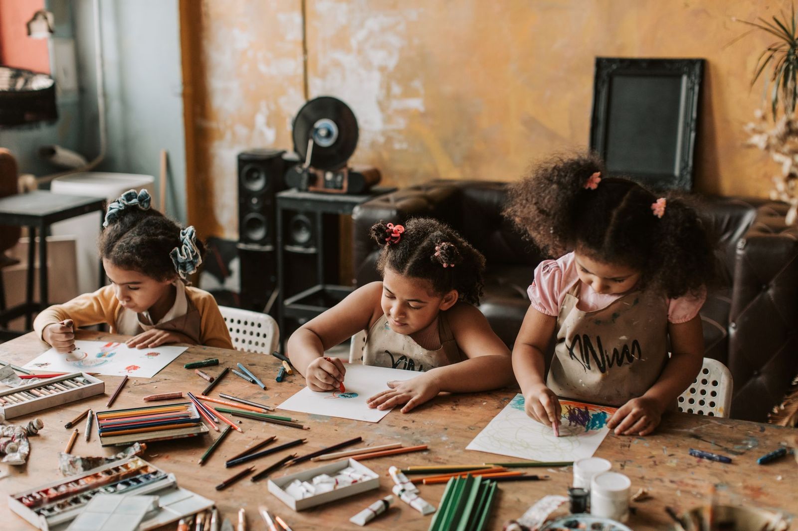
Photo: Vlada Karpovich / Pexels
Teach a Child to Read a Map: Session Checklist
Check off each step as you finish it. Your progress stays on this page.
0 of 6 complete
0% done
Before You Start: The Bird's Eye Idea
Gather the child and a small toy, a car or a doll, and a chair to (safely) stand on, or use a staircase or a bunk bed. Look at the toy on the floor from standing height, then from the chair: it stops looking like a car with a face and starts looking like a rectangle with circles. That shape, the view from straight above, is what a map draws. Say the sentence the whole lesson hangs on: a map is a drawing of a place as a bird sees it, made small enough to hold. Every activity below is that sentence being practiced. For younger children, a picture book moment helps: find an aerial photo of your town together (any map app's satellite view works) and hunt for your roof, your school, the park. Seeing a real place flatten into a map, and recognizing it, is the revelation; everything after is technique.
Lesson One: The Bedroom Map (The Core Activity)
This is the single most effective map lesson for children aged roughly 5 to 9, and it needs one big sheet of paper and crayons.
- Clear the view. Stand at the bedroom door together and look at the room. Ask: if we were birds on the ceiling, what shapes would we see? The bed becomes a big rectangle. The rug becomes a rectangle or a circle. The desk, the chair, the toy box: all footprints, all shapes.
- Draw the room's outline first. Walls become the border of the paper. Put the door in, because a map that cannot be entered is a poor map, and children find this genuinely funny and memorable.
- Add the furniture as shapes, in position. Bed in its corner, desk under the window. Resist correcting proportions; the lesson is position and shape, not draftsmanship. If the bed is drawn where the desk belongs, ask the child to check by looking, not by your say-so: self-correction is the skill being built.
- Add a title. Every map has one, and naming theirs ("Maya's Bedroom, From the Ceiling") teaches that maps announce what they show.
- Make a key. Beside the map, draw a small box: a blue rectangle means bed, a brown square means desk. The child has just invented the map legend, because they needed one, which is the only way the concept ever really lands. Our map legend symbols guide is the reference to grow into afterward.
- Add a north arrow, honestly. If you know which way the room faces, mark it: "the window wall points north" and an arrow labeled N. If you do not know, find out together with a phone compass outdoors first. Do not fake it; children remember the checking as part of the lesson.
Test the finished map with a game: place a small sticker somewhere in the real room, mark an X on the map where it hides, and swap roles hunting from each other's maps. A map that successfully hides and finds treasure has passed the only exam that matters at this age.
Lesson Two: Symbols and the Key, Out in the Wild
With the bedroom map understood, symbols stop being a list to memorize and become a language the child already speaks. Take a simple printed trail or park map (or open one on a tablet) and play symbol detective: find the picnic table, the toilets, the parking, the playground. Ask the questions that teach the concept: why is the toilet a tiny picture instead of the word toilet? (Pictures are fast, small, and understood by everyone, including visitors who read another language.) Why do all the maps use almost the same pictures? (So that once you learn the language, every map is readable.) Then reverse the game: the child draws three symbols for things in your garden or street (the big tree, the letterbox, the scary dog's house) and you must read their map cold. If you can, their symbols work.
Lesson Three: Direction and the Turning Map
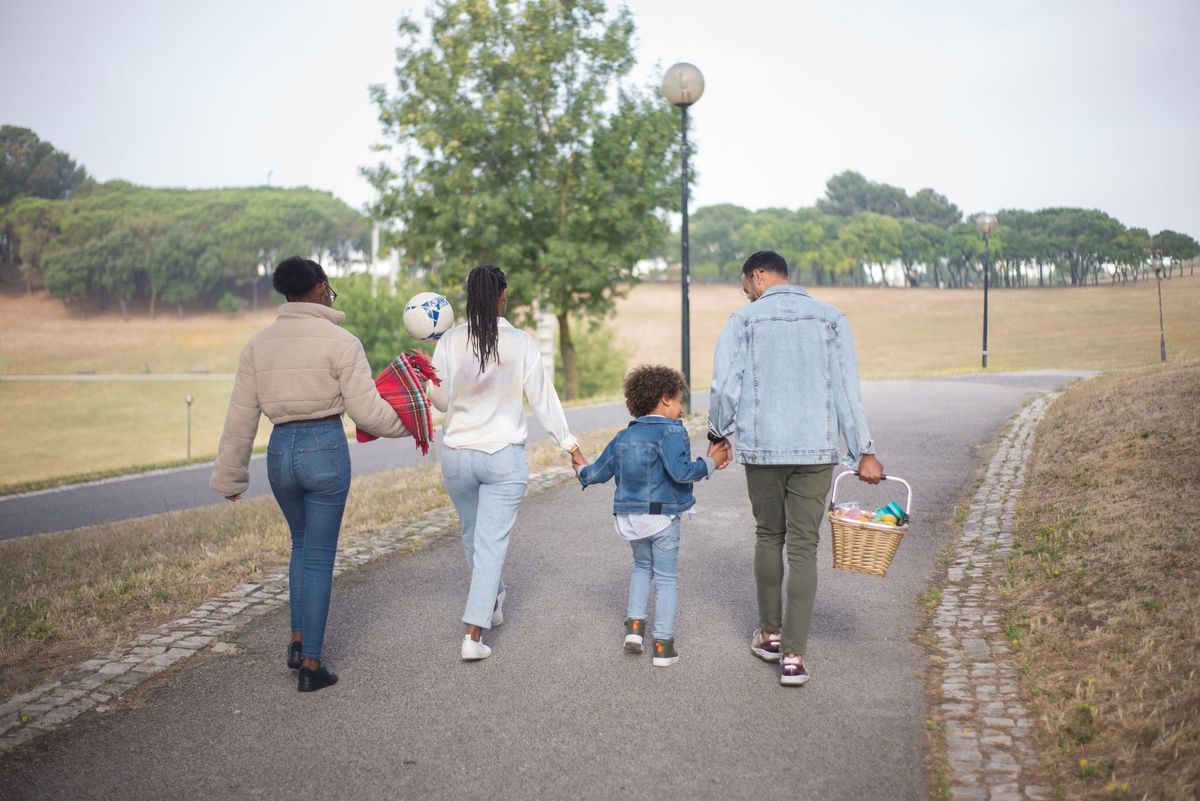
Direction is where children graduate from pictures to navigation, and it is taught best outdoors, badly indoors. The core skill has a name among orienteers: keeping the map set, turning the paper so that the map's up matches the world's ahead. Practice it as a game on any walk. At each corner, stop, and the child rotates the map (a park map, a printed neighborhood map, or their own drawn one) until what is ahead of their feet is ahead on the paper, using one obvious landmark as the anchor: the playground is on our left in the world, so it must sit on the left of the map; turn the paper until it does. Once the map is set, "which way do we turn?" answers itself, and the child experiences the map as a tool instead of a quiz. Introduce the compass points as the names of the map's edges during these walks: the top of a properly made map is north, and when we turned the paper just now, we were pointing its north at the world's north. Children who learn direction this way are visibly less lost for the rest of their lives; children who learn it as "Never Eat Soggy Waffles" can recite the points and still walk the wrong way out of a station. (The mnemonic is fine as a garnish. It is not the meal.)
Lesson Four: Scale, Taught as Near and Far
Formal scale (the bar, the ratio) belongs to older children; the concept underneath it belongs to everyone: on a map, things that are close together on paper are close together in the world, and the paper distance means a world distance. Teach it in two steps. First, on the bedroom map: measure with a finger between the bed and the door on paper, then pace it in the room. Few steps on paper, few steps in life. Second, on a town map: the school is two finger-widths from home, the lake is twenty; which is the longer walk? Children who can answer that own the idea of scale, and the formal versions, bar scales and ratios like 1:25,000, become arithmetic they meet later with the intuition already installed. When that day comes, our guide to map scale types carries the three formal forms with worked conversions, and map scale is the gentler overview.
Age Bands: What to Expect When
Ages 4 to 6. Bird's eye view, bedroom maps with heavy help, symbol spotting, treasure hunts over tiny distances. Success looks like: uses their own map to find a hidden toy.
Ages 7 to 9. Independent bedroom and garden maps with keys and titles, keeping a park map set while walking, near-and-far scale intuition, first compass points on real walks. Success looks like: leads a short walk with a map, rotating it at corners unprompted.
Ages 10 to 12. Real topographic and trail maps, bar scales and simple ratios, grid references if your country's maps use them, planning a route and estimating its length and time. The school checklist known as BOLTSS (Border, Orientation, Legend, Title, Scale, Source) now makes sense as a summary of things they already do. Success looks like: plans and navigates a family walk with the map in their hands, not yours.
The Treasure Hunt, Written as a Full Activity
Finish the sequence with the capstone, because it makes every sub-skill necessary at once. Draw a map of your garden, home, or a park corner: outline, three or four landmarks as symbols, a key, a title, a north arrow if you can manage honesty about north. Mark an X. Hide something worth finding (a snack is a historically reliable treasure). Hand over the map and follow, saying nothing, while the child orients it, reads the symbols, and walks the route. Then swap: the child draws the map and hides the treasure, and you navigate, thinking aloud when their map confuses you, because your confusion is the feedback that teaches revision. Two rounds of this game teach more than a worksheet pack, and the maps make excellent refrigerator art and grandparents' evidence.
Related Guides
The closest companions to this guide are the travel and outdoors map skills guides below. Each one picks up a thread this page starts:
- Orienting a Map and Compass: The Four Moves, Declination First, and the Three Norths: Orienting a map means turning the sheet until the map's north matches the land's north, so that what is on your left on paper is on your left in...
- Trail Maps: Where to Get the Authoritative Map for a Specific Trail, From Land Managers to USGS to Community Data: Every trail has an owner, and the owner's map outranks every other map of that trail.
- Grid Reference: How Eastings and Northings Pin a Point to 100 Meters: A grid reference names a square of ground with numbers alone.
Frequently Asked Questions
At what age can a child learn to read a map?
The foundational idea, that a map is a place seen from above, lands for most children around ages 4 to 6, taught with their own room and toys. Symbols and keys follow at 6 to 8, direction-keeping on real walks at 7 to 9, and formal scale and topographic maps at 10 to 12. The bands matter less than the order: view from above first, symbols second, direction third, scale last.
What is the first thing to teach about maps?
The bird's eye view. Stand above a familiar place or object and notice how it flattens into shapes; then draw it. A child who owns that idea understands what a map is, and every later element, symbols, keys, north arrows, scale, attaches to a structure that makes sense. Starting with the compass rose or vocabulary lists builds memorization without understanding.
How do I explain a map key or legend to a child?
Let them invent one. When a child draws a bedroom map and colors the bed blue, ask how anyone else would know blue means bed; the answer, a little box that explains, is the key, discovered rather than defined. After they have made one, real map legends read as the same friendly box, and symbol lists stop being homework.
How do I teach north, south, east, and west without boring drills?
On walks, with a map in hand. Teach the child to keep the map set, turned so its top points the way north lies, anchored by a landmark, and name the directions as you use them: "we are walking east now, see, the map's right edge". Direction learned as a by-product of going somewhere sticks; direction learned as a chant does not survive the first real junction.
What if my child finds maps frustrating or gets things wrong?
Shrink the territory. Frustration usually means the map covers too much unknown ground; return to one room, one garden, one park corner the child knows by heart, where the map can be checked against a world they trust. Errors are the curriculum: a bed drawn in the wrong corner, discovered by looking, teaches verification better than any correct first attempt.
Are map apps a good way to teach kids maps?
As a supplement, yes; as the foundation, no. Apps rotate and zoom the world for the child, which hides exactly the skills being built, orientation, symbol reading, scale judgment. Paper first, where the child must do the turning and estimating, then apps become a powerful second teacher, especially satellite view for the bird's eye revelation and street level imagery for route rehearsal.
Photo credits: Vlada Karpovich (Pexels); Kampus Production (Pexels). Photos are served from this site; follow the credit to the library page for the original.