A map scale answers one question: how much world fits in how much paper? Cartographers have settled on three ways to give that answer, and every map you own uses at least one of them, usually two. If the general idea of scale is new to you, start with our overview of map scale, which explains large versus small scale and how to use a scale bar in the field. This article is the deep dive that overview points to: the three types defined properly, one real scale converted through all three forms side by side, conversion drills with answers, and the trap that makes a photocopied map betray you.
Home / Map Skills for Travel and Outdoors
Map Scale Types: Verbal, Graphic, and Representative Fraction, Converted Side by Side
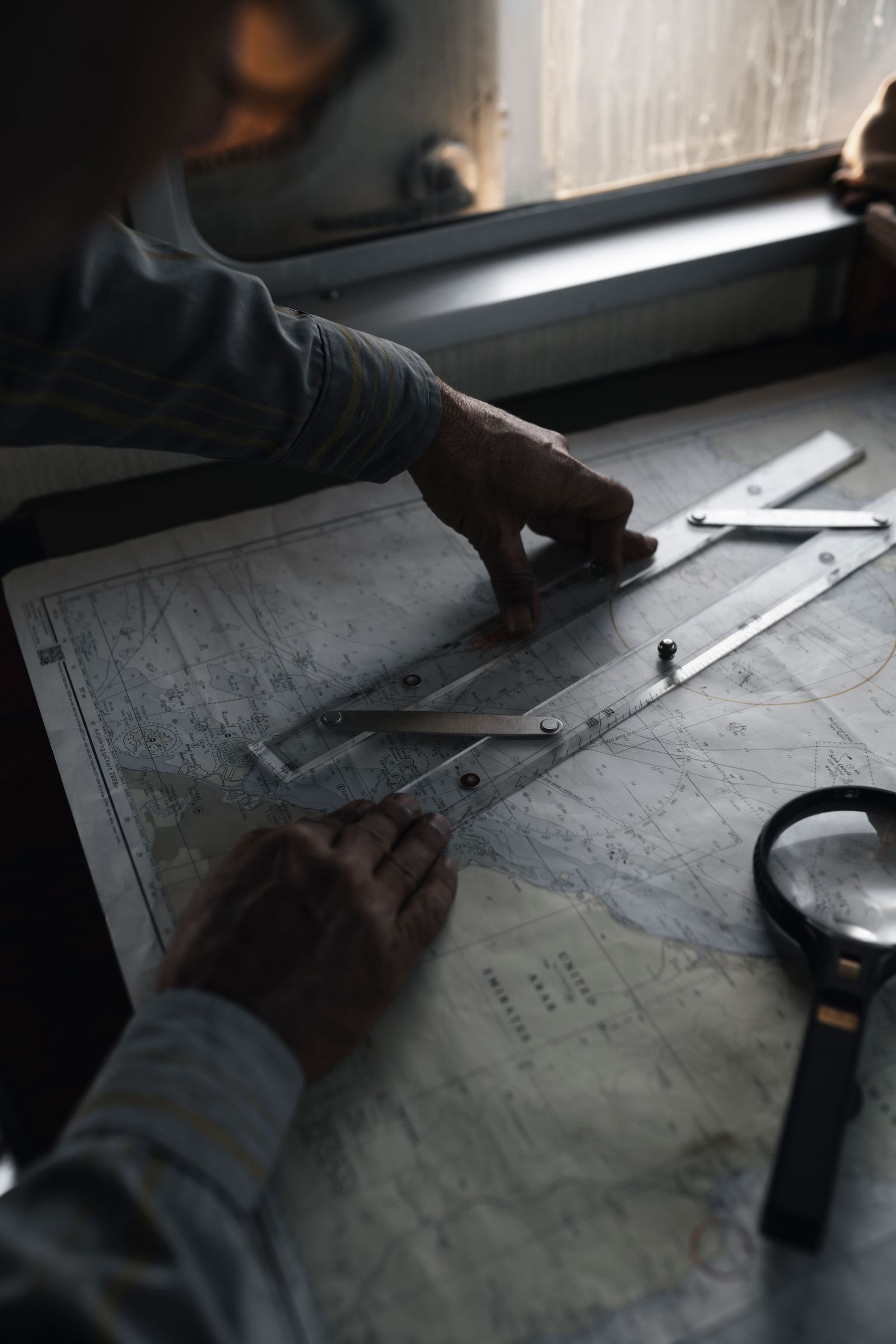
Photo: Bahram Yaghooti / Pexels
Interactive map
Distance Measurer: Measure the Map, Then the Ground
Click two points and read the real distance between them. On a printed map at a known scale, the same two points are one ruler measurement away: this tool is the check your arithmetic answers to.
Total straight-line distance, 0 points
Click the map to start
Distances are great-circle (haversine, mean Earth radius 6,371 km): the shortest path over the surface, not a road or trail distance. Map data © OpenStreetMap contributors.
Type One: The Verbal Scale (Scale in Words)
A verbal scale states the relationship as a sentence: "One inch represents 16 miles." "One centimeter represents one kilometer." It is the oldest form and the most immediately human, because it does the unit conversion for you and speaks in the units you think in. Its strengths are clarity and zero arithmetic at reading time. Its weaknesses are real: it only makes sense to readers who share its units (an inch-and-miles verbal scale is a riddle to a metric reader), and it becomes false the moment the map is enlarged or shrunk, because the words stay the same while the inches on paper change size. Verbal scales live on road atlases, textbook maps, and North American maps especially, where the inch-mile pairing is a cultural habit.
Type Two: The Graphic Scale (The Bar)
A graphic scale, also called a bar scale, is a small printed ruler: a line divided into labeled segments, alternating black and white like a chessboard edge, with distances marked along it. To use it, measure the paper distance between two points on the map (with a ruler, a strip of paper, or a piece of string for a curving route) and lay that measurement against the bar to read off the ground distance. Its great virtue is the one this article keeps returning to: a graphic scale survives resizing. Photocopy the map at 150 percent and the bar grows with the map, so it still tells the truth; it is the only one of the three types with this property. Its weaknesses are precision (you are eyeballing against segments) and space (it needs room in the map margin). Serious topographic maps almost always carry one, often two or three bars in different units. USGS topographic maps, for example, print bar scales in miles, feet, and kilometers side by side, a quiet admission that no single verbal sentence serves every reader.
Type Three: The Representative Fraction (The Ratio)
A representative fraction, RF, states scale as a pure ratio: 1:50,000. It means one unit on the map represents 50,000 of the same unit on the ground. One centimeter represents 50,000 centimeters; one inch represents 50,000 inches; the fraction is unit free, which is its superpower and its inconvenience in one. Any reader in any country can use it with their own units, and it is the only form that plugs directly into calculation: multiply a map measurement by the denominator and you have the ground distance in the same unit. Its costs: it demands a unit conversion before it speaks human (50,000 centimeters is 500 meters, a step the verbal scale does for you), and, like the verbal scale, it becomes false when the map is resized, because the printed ratio does not know the paper changed size. Digital maps quietly dropped fixed RFs for this reason; a zoomable map has a different scale at every zoom, which is why your phone shows a little graphic bar that changes as you pinch, the graphic scale being the only honest citizen of the zoom era.
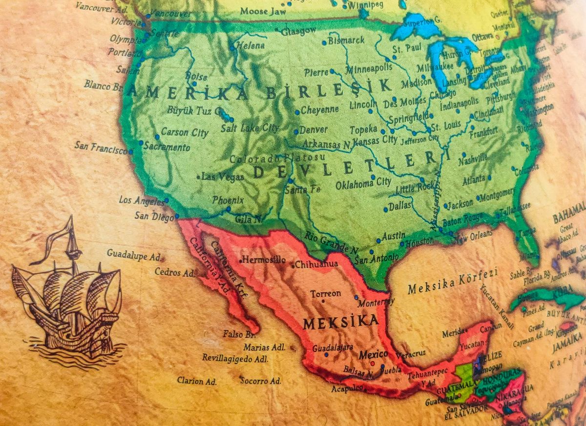
One Scale, All Three Forms
Take a real, common scale: 1:100,000, the scale of many regional and topographic maps. Here is the same truth in all three costumes.
| Form | How it appears | What it tells you |
|---|---|---|
| Representative fraction | 1:100,000 | 1 unit on paper = 100,000 units on the ground |
| Verbal (metric) | "One centimeter represents one kilometer" | Because 100,000 cm = 1,000 m = 1 km |
| Verbal (imperial) | "One inch represents about 1.58 miles" | Because 100,000 inches = 8,333 feet = 1.58 miles |
| Graphic | A bar where each 1 cm segment is labeled 1 km | Measure on paper, read kilometers directly |
Notice the metric verbal form is suspiciously neat: 1:100,000 is beloved partly because 1 cm equals 1 km exactly, making mental math trivial (measure 4.2 cm between towns, they are 4.2 km apart). Map scales are often chosen for this courtesy. The family of neat ones is worth memorizing: at 1:50,000, 1 cm = 500 m; at 1:25,000, 1 cm = 250 m; at 1:10,000, 1 cm = 100 m. The imperial world has one neat anchor of its own: one inch to one mile is RF 1:63,360, because a mile is exactly 63,360 inches, a number that looks arbitrary until you see it is just the mile counted in inches.
Conversion Drills (With Answers)
Work these with the rule: ground distance = map distance × RF denominator, then convert units into something human.
- On a 1:50,000 map, two trail junctions measure 6 cm apart. Ground distance? 6 × 50,000 = 300,000 cm = 3,000 m = 3 km.
- On a 1:25,000 map, a lake is 8 mm wide on paper. Real width? 8 mm × 25,000 = 200,000 mm = 200 m.
- A road atlas at 1:250,000 shows 4 cm between exits. Ground distance? 4 × 250,000 = 1,000,000 cm = 10 km.
- In imperial: on a 1:24,000 USGS quadrangle, a ridge measures 3 inches. Ground distance? 3 × 24,000 = 72,000 inches = 6,000 feet = about 1.14 miles. (This is why American hikers love the 1:24,000 quad: an inch is exactly 2,000 feet.)
- Reverse problem: a verbal scale says "one inch represents 2 miles". What is the RF? Two miles = 2 × 63,360 = 126,720 inches, so the RF is 1:126,720.
If you can run those five in both directions, you can read any scale printed on any map, which is a genuinely complete skill. The Distance Measurer on this page handles the digital version of the same job, true distances between coordinates with no paper involved.
Large Scale, Small Scale: The Terminology Trap
Students reliably reverse this, so here is the anchor. "Large" and "small" describe the fraction, not the territory. 1:25,000 is a larger fraction than 1:1,000,000 (a twenty-five-thousandth beats a millionth), so large scale means a small area shown in great detail: a 1:25,000 hiking map where a barn has a shape. Small scale means a large area shown with little detail: a 1:1,000,000 wall map where a city is a dot. The mnemonic that works: the bigger the second number, the smaller the scale and the more world per page. Publishers choose along this dial deliberately: street atlases live large, continental road maps live small, and no single map escapes the trade, because detail and coverage are the same budget spent two ways. When a child asks why the park map shows benches but the atlas does not show their street, they have discovered this dial on their own; our map reading guide for kids builds the intuition before the terminology.
The Photocopy Trap, Demonstrated
Print a 1:50,000 map. Photocopy it at 200 percent for a reader with weak eyes. Every distance on paper doubles. The verbal scale in the margin still says "one centimeter represents 500 meters", but a centimeter on the copy now represents 250 meters of world: the sentence lies by a factor of two. The printed RF lies identically. Only the bar scale, stretched along with everything else, still measures true. Now shrink a map to fit a book page and the same lie runs in reverse. This is not pedantry: land disputes, archaeological site plans, and old field notebooks are full of rescaled maps whose margins still quote their original scales, and professionals check for a bar scale (or recompute scale from a known distance) before trusting any reproduced map. On digital maps the equivalent discipline is to trust the on-screen bar or the app's measurement tool, never a ratio quoted in a screenshot.
Which Type Should a Mapmaker Choose?
If you ever print a map for someone else, the professional habit is redundancy: print the RF for the record, the bar for the measuring, and let the verbal form appear in the surrounding text if your audience thinks in words. The RF belongs in the technical documentation because it is exact and unit free; the bar belongs on the map itself because it survives the photocopier in the school office and the resize in the report; the verbal form belongs in the caption and the lesson plan because it is the only one a ten-year-old or a tired hiker parses at a glance. Choosing just one is choosing which failure you prefer: words that exclude foreign readers, a ratio that lies after resizing, or a bar that caps your precision. Good maps refuse the choice, and now you know enough to notice when one has been made badly, which is most of what scale literacy is for.
Related Guides
If this page answered part of the question, these travel and outdoors map skills guides cover the rest of the same ground:
- Map Scale Questions and Answers: 12 Worked Problems With the Method Shown: Map scale questions all reduce to one relationship: map distance times the scale denominator equals ground distance.
- Contour Lines on a Map: What They Are and the Rules They Never Break: A contour line joins points of equal elevation, and from that one definition every rule of topographic maps follows: lines never cross, spacing is...
- How to Read an Elevation Map: Color, Relief, and the Lines Between: An elevation map encodes height three ways at once: color bands that step from lowland green to summit white, shaded relief that fakes a sunlit...
Frequently Asked Questions
What are the three types of map scale?
A verbal scale states the relationship in words ("one inch represents 16 miles"). A graphic scale draws it as a labeled bar you measure against. A representative fraction states it as a unit-free ratio (1:50,000), meaning one unit on the map equals that many of the same units on the ground. Most good maps print at least two of the three.
Which type of scale is most accurate after photocopying?
The graphic (bar) scale, and it is the only one that survives. Enlarging or shrinking a map stretches the bar by the same factor as the map itself, so measurements against it stay true. Verbal scales and representative fractions are printed text; they keep stating the original relationship while the map underneath them has changed size, so both become wrong by exactly the resize factor.
How do I convert a representative fraction to real distance?
Multiply your map measurement by the denominator, in the same unit, then convert to a friendly unit. On a 1:50,000 map, 6 cm on paper is 6 × 50,000 = 300,000 cm on the ground, which is 3 km. The metric shortcuts are worth memorizing: at 1:100,000, a centimeter is a kilometer; at 1:50,000, a centimeter is 500 meters; at 1:25,000, a centimeter is 250 meters.
What does 1:50,000 actually mean?
One unit of length on the map represents 50,000 of those same units on the ground. One centimeter on paper is 50,000 centimeters (500 meters) of world; one inch on paper is 50,000 inches (about 0.79 miles) of world. The fraction carries no unit of its own, which is why it works in every country and why it requires one conversion step before it speaks in kilometers or miles.
Is 1:25,000 a large scale or a small scale?
Large. Large and small describe the size of the fraction: 1/25,000 is a larger number than 1/1,000,000. Large scale maps show small areas in high detail (a 1:25,000 sheet can show individual buildings and footpaths), while small scale maps show large areas in low detail (a 1:1,000,000 sheet reduces a city to a dot). The bigger the denominator, the smaller the scale.
Why do phone maps show a bar instead of a ratio?
Because a phone map has no fixed scale: every pinch and zoom changes it continuously, so any printed ratio would be wrong a second later. The little bar in the corner is a graphic scale recomputed live for the current zoom, which is the only one of the three types that can stay honest on a screen. It is the photocopy trap's lesson, applied by design.
Photo credits: Bahram Yaghooti (Pexels); Tuğba (Pexels). Photos are served from this site; follow the credit to the library page for the original.