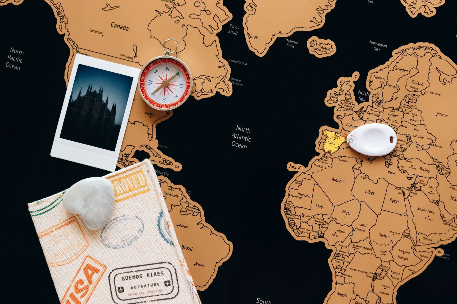
A map is a drawing in a language of symbols, and the legend, also called the key, is its dictionary. Most map confusion is not geography confusion; it is language confusion: a dashed line read as a road, a blue line taken for a route instead of a river, a tent icon missed in the corner of a sheet. This article teaches the language itself: the three families every symbol belongs to, the color code that holds across nearly all maps, how line styles change meaning, and a one-minute routine for decoding a legend you have never seen, on paper or on a screen.
The Coordinate Explorer on this page is your practice field: it shows a live OpenStreetMap, drawn in the same symbol language this article decodes, so every family and color named below can be found in the wild within a minute of reading about it. This article completes the reading skill begun in how to read a map; the legend was move three there, and it gets its full lesson here.
Interactive map
Coordinate Explorer: Find Each Symbol in the Wild
This live OpenStreetMap uses the same symbol language this article decodes. Zoom into a town, a park, and a coastline and find one point, one line, and one area symbol in each.
Decimal degrees40.689167, -74.044444
Latitude40.689167° N
Longitude74.044444° W
Degrees minutes seconds40° 41' 21.00" N, 74° 02' 40.00" W
Degrees decimal minutes40° 41.350' N, 74° 02.667' W
A legend is the mapmaker's list of every symbol used on the sheet and what each one means. On paper maps it lives in the margin, often a corner, sometimes an entire side panel on folded trail maps. On official topographic sheets the legend may be printed on the back or in a separate standard booklet, because the symbol set is shared across the whole series. In apps, the legend hides: behind a layers icon, an information button, or a map styles menu, and in some apps it barely exists at all, which is why learning the conventions matters more on screens than on paper. When an app gives you no dictionary, the near-universal code in the next sections is the dictionary you carry in your head.
The Three Symbol Families
Every symbol on every map belongs to one of three families, sorted by the shape of the thing it represents.
Family
Represents
Examples
Point symbols
Things at a location, too small to draw to scale
Summit cross or triangle, spring, campsite tent, station, church, viewpoint
Line symbols
Things that run: routes and boundaries
Roads by thickness and color, trails dashed, rivers blue, railways black with ticks, boundaries dot-dashed
Area symbols
Things that cover ground
Water filled blue, woodland green, urban areas gray or pink, sand yellow, ice white, parkland pale green
The family test is a decoder by itself. Meet an unknown mark and ask what shape its real thing has: a point, a path, or a patch. A small blue squiggle must be a water feature that runs, a stream, because blue is water and a line is a running thing. A green patch with tiny tree marks is woodland by the same logic. Most legend lookups become confirmations rather than searches once the family and the color are read together.
The Color Code: The Closest Thing to a World Standard
Color
Usually means
Notes
Blue
Water in all its forms
Rivers, lakes, sea, marsh, glaciers on some series; also water points like springs
Green
Vegetation and protected green land
Woods, parks, orchards; the deeper the green, often the denser the cover
Brown
Relief and earth
Contour lines, cliffs, sand and rock features on some series
Black
Built and cultural features, and most text
Buildings, railways, boundaries on some series, names and labels
Red and orange
Important roads, and emphasis
Motorways and main routes on many series; also warnings and highlighted routes
Yellow
Secondary roads, and dry ground
Lesser roads on road maps; sand and arid land on physical maps
Purple
Overprinted special information
Rights of way on British maps, revisions and boundaries on others
Gray
Urban areas, rock, and neutral ground
Built-up fills, scree and rock on mountain maps
Two cautions keep the code honest. First, the code is a strong tendency, not a law: a given series may draw its motorways blue (British maps do) and its relief in gray. Second, when the code and the legend disagree, the legend wins, always, because the legend is the contract for that specific sheet. The code gets you a fast first reading; the legend makes it a correct one. This is the same discipline as map scale: the general rule orients you, the sheet's own statement decides.
Line Styles: Solid, Dashed, Dotted
Lines change meaning by pattern as much as by color, and the pattern usually encodes permanence or status. A solid line is the thing itself, present and established: the paved road, the perennial river. A dashed line is the lesser or conditional version: the unpaved track, the seasonal stream, the trail, the proposed route. A dotted line is often a boundary of the lightest kind, a footpath on some series, or a feature beneath the surface or under construction. Ticks and crosses enrich the language: railways wear cross-ticks, power lines carry small pylons or arrows, pipelines are labeled or lettered along their run. When two line styles share a color on one sheet, the pattern is the meaning, and the legend's line section is where ten seconds of reading saves an hour of walking toward a track that turns out to be a winter-only watercourse.
A flat lay with a map, a compass, a pen, and a cup of coffee
Labels Are Symbols Too
Text on a map is not decoration; it is a symbol system with its own code. On most topographic series, blue italic lettering names water, black upright lettering names settlements and features, and brown lettering names relief. Letter size ranks importance: the capital city shouts, the hamlet whispers, and a road map's hierarchy of town labels is a population chart in disguise. Spacing speaks too: a name spread letter by letter along a feature belongs to something long, a river, a range, a valley, while a compact name belongs to a point. Reading labels by their style, before reading their words, tells you what kind of thing you are looking at even from across the room.
The One-Minute Legend Routine
For any unfamiliar map, run this routine before you use it for anything real.
Find the key. Margin on paper; layers or info menu in an app. If the map has no key, fall back on the color code above and proceed humbly.
Read the colors first. Water, vegetation, relief, built: four glances assign most of the sheet.
Read the lines you will actually use. Your road class, your trail style, the boundary that matters today. You do not need the whole dictionary, only today's vocabulary.
Read three point symbols. The ones nearest your route or your destination.
Check the odd one. Every sheet has a symbol you have never seen; look it up now, in the warm, rather than on the hillside.
One minute, honestly spent, converts a strange map into a familiar one. Run it on the live map in the explorer on this page: find the water, find a trail style, find a point symbol for a station or a viewpoint, and notice how much of the sheet you can suddenly read.
Digital Maps: The Legend That Changes With Zoom
Screen maps add a behavior paper never had: symbols appear and vanish as you zoom. At country zoom, only motorways and cities exist; zoom in and minor roads fade up, then paths, then buildings, then benches and bus stops. The map is not being inconsistent; it is applying a scale-dependent legend, showing at each zoom the vocabulary that fits, exactly as a publisher would across a series of sheets at different scales. Two consequences for readers. A feature missing at your current zoom may exist one zoom deeper, so absence on screen is weaker evidence than absence on paper. And the app's layer menu is the true legend's home: hiking layers add trail symbols, transit layers add route colors, cycling layers add path types. Choosing the layer is choosing the dictionary.
When Symbols Differ, and What to Do
Symbol sets differ between countries, series, and decades, and the differences are real: the British, French, Swiss, and American topographic traditions each draw a church, a path, and a marsh in their own hand. The defense is the routine, not memorization: family, color, pattern, then the sheet's own legend for anything that matters. One more difference deserves respect: symbols age. A map from the 1970s may mark a railway that is now a trail and omit the motorway that dominates the valley. The margin's date, move one of the reading routine, is the warning label for the whole symbol system.
Related Guides
The closest companions to this guide are the travel and outdoors map skills guides below. Each one picks up a thread this page starts:
The legend, or key, is the map's dictionary: a list of the symbols, colors, and line styles used on that map with their meanings. On paper it sits in the margin; in apps it hides behind layer and information menus. Reading it before using an unfamiliar map is the single highest-value minute in map reading.
What do the colors on a map mean?
Nearly universally: blue for water, green for vegetation and parkland, brown for relief and contours, black for built features and text, red and orange for major roads and emphasis. It is a strong convention rather than a law, and the map's own legend outranks it wherever they differ.
What does a dashed line mean on a map?
Usually the lesser or conditional version of its solid counterpart: an unpaved track rather than a road, a trail rather than a path, a seasonal stream rather than a permanent river, or a boundary of a lighter kind. The exact meaning for your sheet is in its legend's line section.
Why do symbols change when I zoom in on my phone?
Digital maps use a scale-dependent legend: at each zoom they show the features whose detail fits that view, just as a paper series would across separate sheets. Zoom in and more symbols appear; a missing feature at one zoom often exists one level deeper.
How can I learn the symbols for a map of another country?
Run the one-minute routine: families, colors, line patterns, then the sheet's own legend for the symbols on your route. National series publish their full symbol sheets online, and ten minutes with one teaches you that country's dialect of the shared language.
Is the legend the same as the scale?
No. The legend decodes symbols; the scale decodes distances. They are the two dictionaries every map needs, and they sit together in the margin on paper maps for a reason: a reader needs both before the map can be trusted.
Photo credits: Nataliya Vaitkevich (Pexels); ArtHouse Studio (Pexels). Photos are served from this site; follow the credit to the library page for the original.