Most map articles end with the reader feeling informed. This one ends with a score. Below are twelve questions testing the six skills that make up map reading: orientation, legend, scale, distance, contours, and bearings. Answer each before you peek; the answer key follows the questions in full, with the working shown, because a key that teaches is worth more than a key that judges. Then find your score band, which routes you to exactly the guides that rebuild your weak skills. If you want the underlying course first, our how to read a map guide teaches the whole system; this test is where you find out whether it stuck.
Home / Map Skills for Travel and Outdoors
Do You Know How to Read a Map? A 12 Question Self Test With a Full Answer Key
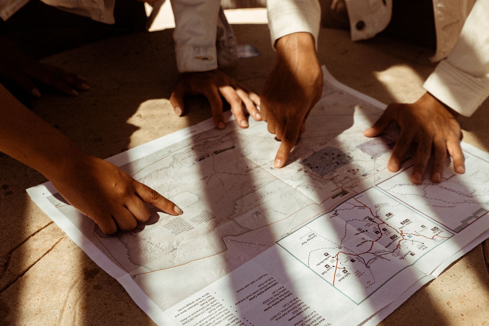
Photo: Wendy Wei / Pexels
Interactive tool
Your Scorecard: Six Skills, Honestly Marked
Check off each step as you finish it. Your progress stays on this page.
0 of 8 complete
0% done
The Questions
Orientation
Q1. You unfold a standard topographic map and there is no north arrow visible on the sheet. Which direction is north?
A) The left edge B) The top edge C) The bottom edge D) It cannot be assumed
Q2. You orient a map with a compass. The declination for your area is 10 degrees east. To make the map's north agree with the ground, you rotate the map so the compass needle points:
A) At the map's north arrow B) 10 degrees west of the map's grid north C) 10 degrees east of the map's grid north D) Declination does not affect orientation
Legend
Q3. On your map, a dashed black line crosses a solid blue line. Using a standard legend, the most likely reading is:
A) A trail crossing a stream B) A border crossing a road C) A path crossing a power line D) A contour crossing a river
Q4. A map symbol shows a small triangle with a number beside it, 1,240. This most likely marks:
A) A campsite for 1,240 people B) A surveyed elevation point of 1,240 units C) A road number D) A population
Scale
Q5. A map's scale is 1:50,000. Two points measure 4 centimeters apart on the paper. The ground distance is:
A) 500 meters B) 1 kilometer C) 2 kilometers D) 5 kilometers
Q6. A bar scale shows a segment labeled 0 to 1 spanning 2 centimeters, in miles. Your route measures 7 centimeters on the paper along the bar's units. The route is:
A) 2 miles B) 3.5 miles C) 7 miles D) 14 miles
Distance
Q7. You need the walking distance along a curving trail, not the straight line. The reliable paper method is:
A) A ruler between the endpoints B) Laying a string or paper edge along the curves, then measuring it against the scale C) Counting grid squares the trail enters D) Estimating by eye
Q8. On a 1:24,000 map, one inch on paper equals:
A) 24,000 feet B) 2,000 feet C) 24,000 meters D) One mile
Contours
Q9. Your route crosses contour lines that are packed tightly together. The ground there is:
A) Flat B) Gently sloping C) Steep D) Below sea level
Q10. A contour line bends into a V where it crosses a stream valley. The point of the V aims:
A) Downhill B) Uphill, upstream C) North D) Toward the nearest road
Bearings
Q11. You take a bearing to a peak and read 60 degrees. Your back bearing, to return, is:
A) 120 degrees B) 240 degrees C) 300 degrees D) 60 degrees
Q12. Red in the shed means:
A) The map is oriented B) The needle's red end sits inside the orienting arrow, so the dial reading is valid C) The compass is broken D) You are facing north
The Answer Key, With the Working
Q1: B. On standard topographic maps, north is toward the top edge unless the sheet explicitly says otherwise. The whole grid system assumes it. (Skill rebuilt by how to read a map.)
Q2: C. The needle points to magnetic north, which with an east declination sits east of true and grid north. Rotating the map until the needle lies 10 degrees east of the grid lines marries map to ground. (See how to read a compass for the declination arithmetic in full.)
Q3: A. In the standard symbol language, black dashes are trails and paths, blue is always water. A trail crossing a stream is one of the commonest sights on a hiking map. The complete vocabulary is in map legend symbols.
Q4: B. A triangle marks a surveyed point, a benchmark or triangulation station, and the number is its elevation in the map's units. Numbers beside symbols on topographic maps are elevations until proven otherwise.
Q5: C. At 1:50,000, one centimeter is 50,000 centimeters of ground, which is 500 meters. Four centimeters is 2,000 meters, 2 kilometers. The full scale system, representative fractions, bar scales, and verbal scales, is taught in map scale and map scale types.
Q6: B. If 2 centimeters of paper represent 1 mile, then 7 centimeters represent 7 divided by 2, which is 3.5 miles. Bar scales survive photocopying and shrinking, which is why they are the field favorite; the arithmetic is always a proportion.
Q7: B. Curves defeat rulers. Lay a string, a strip of paper ticked at each bend, or a shoelace along the trail, then straighten it against the bar scale. Our how to measure distance on a map guide gives the full set of curve techniques, including the opisometer wheel built for exactly this.
Q8: B. 24,000 inches of ground is 24,000 divided by 12, which is 2,000 feet. The 1:24,000 quadrangle's famous shorthand, an inch to 2,000 feet, is why American hikers love the scale; how to calculate map scale drills the conversions both directions.
Q9: C. Contour spacing is slope made visible: tight lines, steep ground; wide lines, gentle ground. The complete contour grammar, intervals, index lines, and the shapes that name landforms, is in how to read a contour map.
Q10: B. Contour Vs point uphill, upstream, where they cross valleys and streams. Water flows out of the V's mouth. This single rule traces every drainage on a sheet.
Q11: B. Back bearings differ by 180 degrees: 60 plus 180 is 240. Under 180 you add, over 180 you subtract. Bearings, dials, and red in the shed are drilled in how to read a compass.
Q12: B. The mnemonic certifies the dial is oriented to magnetic north, needle's red end inside the orienting arrow's outline, which is what makes the number at the index line a trustworthy bearing. It says nothing about which way you face; the dial turns with you.
Score Yourself
Use the checklist above as your scorecard: check each skill area where you answered both questions correctly.
- 11 to 12 correct: Trail ready. Your reading is fluent. Sharpen the advanced edges with army maps and land navigation and go navigate.
- 8 to 10 correct: Nearly there. You read maps; your misses name your study list. Rebuild the failed skills from the key's links, then retake the test in a week.
- 5 to 7 correct: A reader in progress. The foundations are half built. Work through how to read a map start to finish, then the specific guides for your two weakest skills.
- 0 to 4 correct: A perfect starting point. You are exactly who the beginner path was written for: begin with the main map reading guide, then map legend symbols and map scale, and retake this test after each one. Scores climb fast at this end.
Whatever your band, the honest score is the useful one: a map test taken at a kitchen table is the cheapest navigation lesson there is, and the only one where a wrong answer costs nothing at all.
Now Do It on a Real Map
A test on paper grades your reading; the ground grades your navigation, and the bridge between them is one supervised outing. Take a printed topographic map of a park you know, or a new one with a forgiving trail network, and work this sequence. Before you walk, predict from the sheet: where the climb comes, where the stream crossing sits, which junction follows which saddle. At each feature, stop and confirm the prediction before checking any phone. Take one bearing at a junction and follow it for two hundred meters of trail. Measure one curving leg with a string when you get home and compare it with the distance your phone recorded. Every confirmed prediction is a skill welded shut; every miss names its guide in the answer key above. Readers who do this once, honestly, rarely score below the top band again, because the test and the territory have taught each other. Bring the compass, bring the string, and let the map be right in public a few times; trust, in navigation, is just verified prediction with mud on it.
A Note on Tests, Honesty, and Phones in Pockets
One rule governs this test's value: take it with the phone put away. Every question here can be answered by an app in seconds, and that is precisely the skill the test is not measuring. The phone's map reading is flawless and useless the day the battery dies, the screen cracks, or the signal leaves, which is the entire premise of paper skill. Readers who feel the urge to check mid test have located, with great precision, the habit this article exists to retire. Finish unaided, score honestly, and let the band be a little bruising if it must; the study routes are short, the retake is free, and the second score, earned after real study, is the one that will still be true on a wet hillside with a dead phone and a paper map doing its ancient, battery free work.
Related Guides
If this page answered part of the question, these travel and outdoors map skills guides cover the rest of the same ground:
- How to Read an Elevation Map: Color, Relief, and the Lines Between: An elevation map encodes height three ways at once: color bands that step from lowland green to summit white, shaded relief that fakes a sunlit...
- How to Read a Map for Orienteering: ISOM Colors, Symbols, and Control Descriptions: An orienteering map is not a small topographic map.
- Map Scale Questions and Answers: 12 Worked Problems With the Method Shown: Map scale questions all reduce to one relationship: map distance times the scale denominator equals ground distance.
Frequently Asked Questions
What score counts as being able to read a map?
A score of 11 or 12 means fluent reading across all six core skills. Eight to ten means competent with named gaps worth one study session each. Below that, the score bands in this article assign a study route; the skill is genuinely learnable in days, and retaking the test after studying shows the gain concretely.
Which map skill do most people fail?
In our experience setting these questions, scale arithmetic and declination. Scale fails because the representative fraction feels abstract until it is converted to ground units a few times; declination fails because the add and subtract direction is memorized instead of understood. Both yield to the worked examples in the linked guides.
How can I practice map reading without going anywhere?
Use a topographic map of your own neighborhood and verify it against the ground you know: read the contours where you know the hills, measure routes you have walked, take bearings to landmarks from your street. A familiar landscape grades your reading for free, which is the same principle as this test.
Is this test enough to navigate safely in the backcountry?
No test on paper certifies field safety. This test measures reading literacy, one of three legs; the others are field procedure with compass and map together, and judgment about weather, daylight, and turnaround times. Treat a high score as permission to start practicing outdoors with a companion skill set, not as a qualification.
Where should a complete beginner start after a low score?
With the main guide, how to read a map, read start to finish with a real map beside you. Then map legend symbols and map scale, the two vocabularies everything else uses. Then retake this test. The beginner path is short, and most readers move two score bands in a weekend.
Do kids take the same test?
The skills are the same, but younger readers do better starting with our dedicated how to read a map for kids guide, which teaches the same six skills through hunts and games, and then graduating to this test as the family challenge version.
Photo credits: Wendy Wei (Pexels); Marina Leonova (Pexels). Photos are served from this site; follow the credit to the library page for the original.