Before the phone, every long drive in America ran on a paper system so well designed that professionals planned million-dollar logistics with it: the road atlas. That system never stopped working; it just fell out of common knowledge. A road atlas is not a picture of roads but an instrument with four working parts, a hierarchy of road classes drawn in a strict visual order, route shields that number the network, mileage charts that tabulate distances between key junctions, and an index that locates any named place by grid reference. Learn those four parts and a paper map becomes what it was for two generations of drivers: a planning tool that shows the whole journey at once, works in every dead zone, and never reroutes you onto a gravel road to save ninety seconds. This guide teaches the system part by part, with the driving situations each part exists for.
Home / Map Skills for Travel and Outdoors
How to Read a Map for Driving: Road Atlases, Mileage Charts, and Exit Numbers
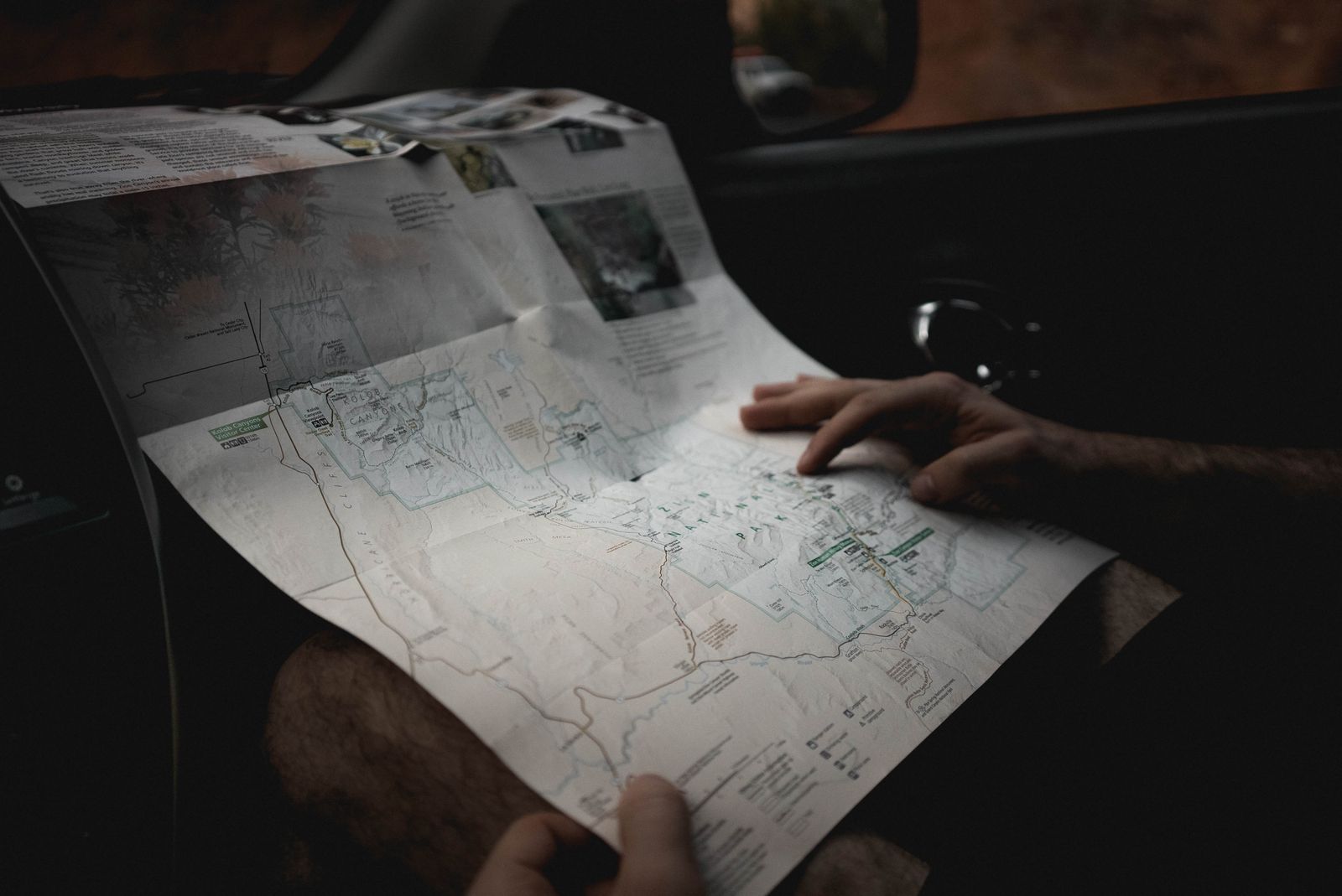
Photo: Dziana Hasanbekava / Pexels
Paper Does the Thinking: The Driving Map Checklist
Check off each step as you finish it. Your progress stays on this page.
0 of 8 complete
0% done
The Atlas Is a System, Not a Picture
Open a good road atlas and the page looks busy until you learn its grammar, after which it reads at a glance. The grammar is hierarchy: the map draws the road network in ranks, and your eye is meant to travel the ranks in order, motorways first, local streets last, so a continent-sized network stays legible on a paper page. Every other element serves that grammar: the shields label the ranked routes, the city insets blow up the places where the network compresses, the index exists because a system this size needs a lookup table, and the mileage charts exist because measuring winding roads with a ruler on paper is the one job the picture does badly. Keep that framing and the rest of this guide is details. The atlas's other quiet virtue is stability: the page shows the whole route in context, alternatives included, at a fixed scale you come to know, which is why experienced drivers still plan on paper or its digital equivalent and then navigate by phone, using each tool for the half of the job it does best, a division of labor our offline maps guide complements for the no-signal case.
Road Classes and Shields: The Network's Rank Order
Roads are drawn by class, and class is a promise about the road's character. On American atlases the ladder runs: interstate highways, drawn boldest, in red or blue, with the red-white-and-blue shield; other freeways and divided highways next; then US routes, marked with the black-on-white shield, the older national network, generally two-lane highways through towns; then state routes, in state-specific markers, then county and local roads in progressively lighter lines, with unpaved roads often dashed or gray. Learn your atlas's exact legend, printed in its front pages, since colors vary by publisher, and the classes become a decision tool: for distance, climb the ladder and stay high; for scenery and small towns, descend deliberately, knowing what you are trading. Shields carry their own information: interstate numbers run even for east-west routes and odd for north-south, with numbers rising toward the northeast, a grid logic the US and state systems share in their own ways, so an experienced reader can smell a wrong number the way a proofreader smells a typo. Mileage-based exit numbering, standard practice in most states, completes the system, covered below. When a route number wears a banner, Business, Bypass, Alternate, the shield is telling you which version of the road you are on, the through route or the one that dives into town for fuel and food.
The Mileage Chart: Distances Without a Ruler
Between the map pages, atlases print the tool beginners skip and professionals swear by: the mileage chart, a table of driving distances between major cities and junctions. Using it is a lookup, not a measurement: find your row and column cities, read the cell, and you have the road distance along the standard route, computed by people who drove or measured the actual network, not a straight line pretending. Its real power is comparative planning. Two candidate routes through different hubs can be priced in seconds by adding two or three cells each, where ruler work on the map pages would take minutes and lie about the winding parts. Charts also discipline fuel and daylight planning: the legs of a long day, laid out as chart distances, expose the overambitious itinerary before the road does. Where no chart cell exists for your exact pair, chain through the nearest listed junctions, the same hubs the chart's network is built on. Treat chart distances as the planning truth and the car's trip odometer as the audit; they should agree within a few percent, and a large disagreement means one of your legs is not the route the chart assumed, which is worth understanding before the next leg, not after.
The Index Grid: Find Any Town in Seconds
Every atlas page wears a grid of letters across the top and numbers down the side, and the index at the back binds them together. Look up any place name and the index returns a page and a grid square, page 42, C3, which collapses a state-sized search into one rectangle of paper. The skill feels trivial until the moment it saves a trip: an unfamiliar town mentioned on the radio, a detour destination, the place a road sign just promised, located in seconds with the engine running. Read the index entry fully; good atlases append the place's population and whether it has its own inset, and disambiguate the inevitable repeated names, the Springfields and Salems, by county. The same grid literacy transfers to the topographic and sectional worlds, where coordinates replace letters, as our guide to reading latitude and longitude explains; the index grid is the road atlas's friendlier dialect of the same idea: a reference system that turns "somewhere in this state" into "this square, now."
Exit Numbers and Mileposts: The Road's Own Ruler
The final part of the system lives on the road itself. In most states, interstate exit numbers are mileage-based: the exit number equals the milepost, the distance from the highway's start at the state line or its southern or western origin. That single convention turns every exit sign into a distance instrument. The gap between your exit and your destination's exit is the miles remaining, no device required; a missed exit's cost is readable from the next sign; and directions from locals, "get off at 214, we're two miles east," become precise. Small green mile markers along the shoulder refine the same ruler to tenths. Know the exceptions: a minority of states historically numbered exits sequentially, and construction renumbers things, so treat the first two exits of an unfamiliar state as a calibration check, does the exit number change by roughly the miles driven, before trusting the arithmetic. Combined with the mileage chart, exit numbers let you audit the whole drive continuously against the plan: planned leg, chart distance, exit numbers counting down, arrival. When the three disagree, the road is telling you something early, which is the entire point of reading it.
When the Atlas Beats the Phone
None of this argues for throwing the phone away; it argues for literacy in both systems. The atlas wins at planning, where the whole route, its alternatives, and its distances sit visible at once; in dead zones, where its only battery is the dome light; in the big-picture moments of a trip, choosing tomorrow's region, weighing a scenic detour, understanding where you are in a state rather than on a line. The phone wins at the tactical last mile, live traffic, and rerouting around the closure that appeared this morning. The drivers who get the most from both plan on the atlas's system, classes, shields, mileage charts, index, and then drive with the phone as an announcer, checking its claims against exit numbers and the shape of the plan. A map you can read is a second opinion that never loses signal, and on a long road that is not nostalgia. It is redundancy, the oldest safety system there is.
A Worked Day: Planning 600 Miles on Paper
Watch the system carry a real day's drive. The plan: a small town in one state to a city two states away, roughly six hundred miles, one driver, daylight preferred. The mileage chart prices the candidate spines first: the all-interstate option totals just under six hundred miles through two listed hubs; the US-route alternative adds ninety miles and an hour of towns, rejected for today, noted for the return when time is cheaper. The map pages confirm the interstate option's character: long rural stretches between the hubs, one mountain crossing visible in the relief shading, and a hundred-mile gap between services on the emptiest leg, which moves a fuel stop earlier than the tank demands. The index locates tonight's target city and its grid square, and the city inset shows which side of town the motels cluster on and which exit serves them; the exit number, checked against the mileage convention, doubles as the day's final odometer target. On the road, the system runs as an audit: exits counting down the legs the chart promised, the fuel stop taken where the plan put it, the mountain crossing arriving where the shading said it would. Nothing about the day required heroics; the atlas simply converted six hundred miles of uncertainty into a sequence of verified expectations, which is all that planning ever is. The phone rode along and announced the turns. The paper did the thinking.
Related Guides
Readers working through this topic usually need its closest companions too. These travel and outdoors map skills guides cover the neighboring ground:
- Hiking Maps of Glacier National Park: The NPS Map, the Trails Illustrated Sheets, and the Sun Road: Glacier is not one valley but a small mountain kingdom split by the Continental Divide, and its maps divide the same way: a free official park map...
- Hiking Maps of the Dolomites: The Tabacco Sheets, the CAI Numbers, and the App: The Dolomites are the rare mountain range with a single obvious map answer: the 1:25,000 sheets of Casa Editrice Tabacco, numbered, ruthlessly...
- Map Scale Questions and Answers: 12 Worked Problems With the Method Shown: Map scale questions all reduce to one relationship: map distance times the scale denominator equals ground distance.
Frequently Asked Questions
How do I find driving distances in a road atlas without measuring?
Use the mileage chart, usually printed between the map sections: look up your two cities or junctions as row and column and read the distance at their intersection. For places not listed, chain through the nearest listed junctions and add the legs.
What do the different road colors and lines in an atlas mean?
They encode road class, the network's rank order: interstates and freeways boldest, then US routes, state routes, county roads, and local or unpaved roads lightest or dashed. The exact colors vary by publisher, so read your atlas's legend first; the hierarchy itself is consistent.
How does the atlas index grid work?
Each map page is divided into lettered columns and numbered rows. The alphabetical index at the back lists every place with its page and grid square, such as page 42, C3, so you can find any town in seconds instead of scanning a whole state.
Do exit numbers really tell me the distance remaining?
In most states, yes: interstate exits are numbered by milepost, so the difference between your current exit number and your destination's exit is the miles to go. A few states historically used sequential numbering, so verify with the first exits in an unfamiliar state.
Why learn the paper system when phones navigate better?
Because the systems do different jobs. The atlas shows the whole journey, alternatives, and distances at once, works without signal, and lets you audit the phone's choices against exit numbers and mileage charts. Planning on paper and navigating by phone is stronger than either alone.
Photo credits: Dziana Hasanbekava (Pexels); Hannah Nelson (Pexels). Photos are served from this site; follow the credit to the library page for the original.