Latitude and Longitude: The Two Numbers That Address the Earth
By the Osm4People editorial team
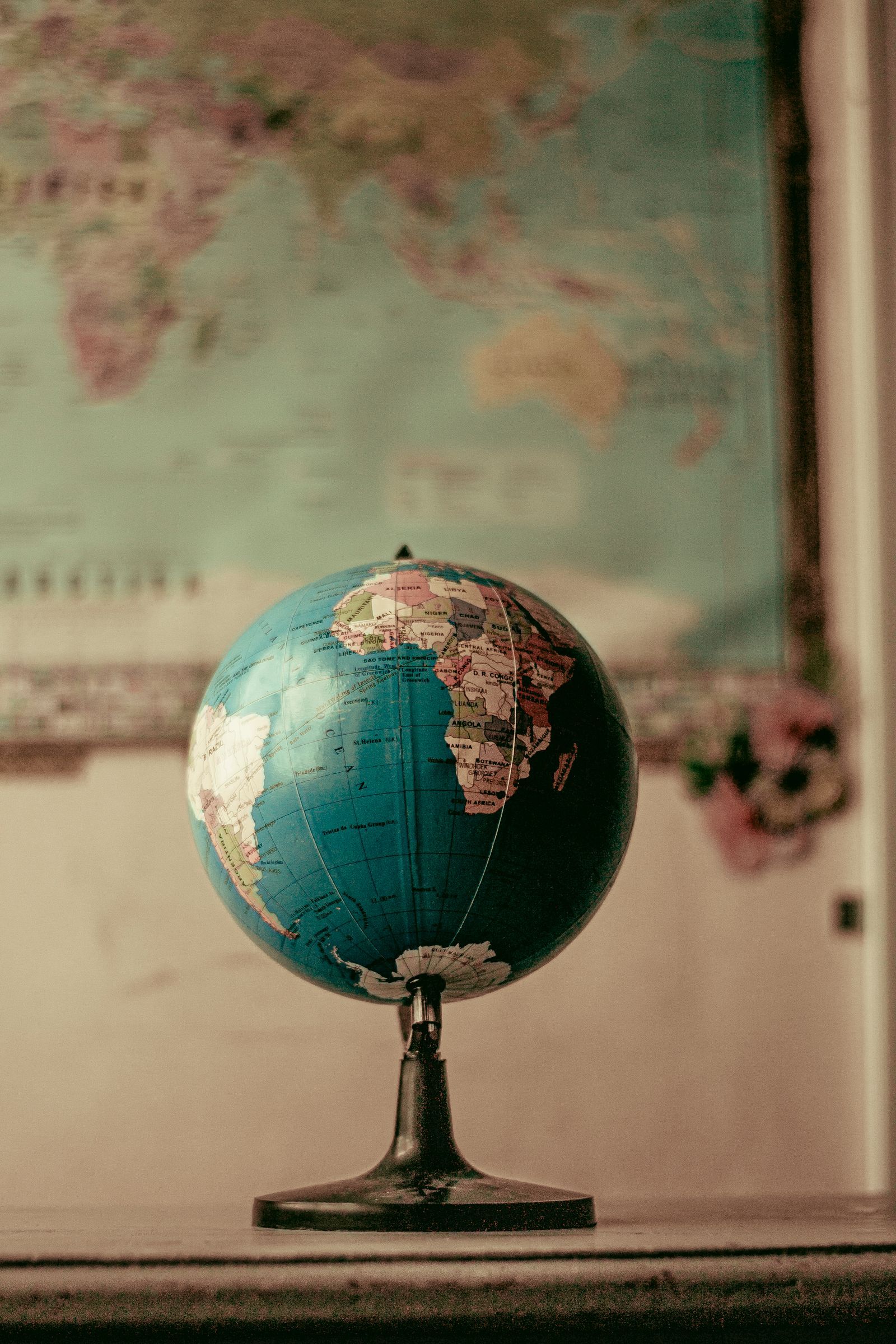
Photo: Nothing Ahead / Pexels
Every place on Earth has an address made of two numbers. Latitude says how far north or south of the equator the place is. Longitude says how far east or west of Greenwich, London, it is. Together they name a point more precisely than any street address, and they work in the middle of oceans, deserts, and forests where streets do not exist. This article teaches the concept itself: what the two numbers mean, how the grid is built, and how to look at any pair and picture roughly where on Earth it lands.
The companion skills live nearby on this site. How the pair is written, in decimal degrees, degrees minutes and seconds, and the other formats, is covered by latitude and longitude format. The converter on this page restyles any pair between those formats as you read, so every claim below can be tested on a real point. And when you want pairs for places, how to find coordinates on a map is the practical guide.
Interactive tool
Coordinate Converter
Convert latitude and longitude between decimal degrees, degrees minutes seconds, degrees decimal minutes, and plus codes. Everything updates as you type.
From decimal degrees
Degrees minutes seconds40° 41' 21.00" N, 74° 02' 40.00" W
Degrees decimal minutes40° 41.350' N, 74° 02.667' W
Plus code (11 digits)87G7MXQ4+M67
Plus code (10 digits)87G7MXQ4+M6
Your latitude breaks down as 40 degrees, 41 minutes, 21.00 seconds. One degree is 60 minutes, one minute is 60 seconds, so a second of latitude is about 31 meters on the ground.
From degrees minutes seconds
Decimal degrees40.689167, -74.044444
Degrees decimal minutes40° 41.350' N, 74° 02.667' W
Plus code (11 digits)87G7MXQ4+M67
Conversions use the WGS 84 coordinate system, the same one GPS satellites and phone maps use. Plus codes are computed with the open location code algorithm, the same method Google Maps uses.
The Grid: Two Families of Lines
Imagine the Earth wrapped in a net. One family of lines runs east and west, circling the planet in rings parallel to the equator; these are parallels, and they measure latitude. The other family runs north and south, each a great half-circle from pole to pole; these are meridians, and they measure longitude.
The two families behave differently, and the difference matters. Parallels never meet, and the gap between one degree of latitude and the next is nearly constant everywhere: about 111 km. Meridians all meet at the poles, so a degree of longitude spans about 111 km at the equator and shrinks to nothing at the poles. That shrinking is why the same longitude difference means a long walk in the tropics and a short stroll near the poles, and why polar maps always look strange.
Every point on Earth sits at the crossing of one parallel and one meridian. Latitude and longitude are simply the names of those two lines, given as angles from the planet's center: the angle up or down from the equatorial plane, and the angle around from the prime meridian.
The Two Zero Lines
A grid needs starting lines, and both of ours are agreements, not laws of nature.
The equator, latitude 0, is the one natural choice in the system: the circle halfway between the poles, fixed by the Earth's own spin. North of it, latitudes count up to 90 at the North Pole. South of it, they count down to minus 90 at the South Pole.
The Prime Meridian, longitude 0, is a human choice: the meridian through the Royal Observatory at Greenwich, London, adopted by international agreement in 1884. Other countries once ran their maps from their own capitals, and old charts occasionally still show it. East of Greenwich, longitudes count up to 180. West of it, they count down to minus 180, and the plus 180 and minus 180 lines are the same line, on the far side of the Earth from London.
Latitude in Depth
Latitude is the friendlier number. Its range is small, minus 90 to 90, and it tracks things you can feel. Near 0 you are in the tropics, where the sun passes nearly overhead. Around 23.5 degrees, north or south, sit the tropic lines where the sun stands still at the solstices. The temperate zones fill the middle latitudes, roughly 35 to 55, where most of the world's famous cities live: New York at 40.7, London at 51.5, Sydney at minus 33.9. Beyond about 66.5 degrees the polar circles begin, where the sun can stay up, or down, for a full day.
Because latitude barely changes along an east-west journey, it is the number that tells you the climate of a pair at a glance. Two places at the same latitude share the same sun, even when everything else about them differs.
Longitude in Depth
Longitude is the number tied to time. The Earth turns 360 degrees in 24 hours, which is 15 degrees per hour, so every 15 degrees of longitude east or west shifts local solar time by about an hour. Time zones are longitude wearing a uniform, adjusted for borders and politics. This is also why longitude was the great unsolved problem of navigation for centuries: latitude can be read from the sun and stars, but longitude demands knowing the time at the prime meridian and comparing it with your local time, which is why accurate sea clocks changed the world.
Longitude's range is the full circle: minus 180 to 180. Its sign is the hemisphere: positive is the eastern half of the world, negative the western. The Americas are negative longitude, almost all of Asia and Australia positive, and Europe and Africa straddle the zero line, which is why London's longitude, minus 0.12 or so, is a small negative number that surprises people.
The Pair and Its Order
The convention is latitude first, then longitude, always. The pair 40.779400, -73.969100 is Central Park in New York: about 41 degrees north, about 74 degrees west. Swap the numbers and the result is either nonsense (a latitude of minus 73.97 is legal but lands you in the southern ocean) or a different continent entirely. The order rule plus the range rule gives you the fastest sanity check in all of mapping: the first number must sit between minus 90 and 90, and if it does not, the pair is written backwards or is not a coordinate pair at all.
Picture a Pair: The Two-Second Method
With practice, a pair stops being numbers and becomes a place. The method has two steps.
Step one: the signs name the quadrant. Positive latitude and positive longitude: the northeast quadrant, Europe, Asia, most of Africa. Positive latitude, negative longitude: the northwest, the Americas and the Atlantic. Negative latitude, positive longitude: the southeast, Australia, southern Africa, Indonesia. Negative latitude, negative longitude: the southwest, South America and the Pacific. Four combinations, four quarters of the world, decided by two signs alone. The full story of the signs is in can latitude and longitude be negative.
Step two: the sizes name the neighborhood. Latitude near 40 and longitude near minus 74 is the US Northeast. Latitude near minus 34 and longitude near 151 is Sydney's coast. Latitude near 0 and longitude near 0 is open Atlantic, whatever the numbers around them say. Build a small atlas of anchors, a few famous pairs you know cold, and every new pair becomes a position relative to an anchor: a bit north of London, well east of New York, just south of the equator in the Pacific. That is how sailors and pilots actually read coordinates, and it is learnable in an afternoon of practice with latitude and longitude practice.
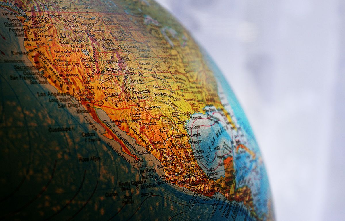
Close-up of a desk globe centered on North America
Famous Pairs in Every Hemisphere
Every row below was restyled with this site's own converters from the decimal pair, so you can check any of them in the tool on this page.
Place
Decimal degrees
Degrees minutes seconds
Hemisphere pair
Central Park, New York
40.779400, -73.969100
40° 46' 45.84" N, 73° 58' 08.76" W
North, West
Grand Canyon South Rim
36.061900, -112.107700
36° 03' 42.84" N, 112° 06' 27.72" W
North, West
Big Ben, London
51.500729, -0.124625
51° 30' 02.62" N, 0° 07' 28.65" W
North, West (barely)
Eiffel Tower, Paris
48.858222, 2.294500
48° 51' 29.60" N, 2° 17' 40.20" E
North, East
Tokyo Skytree
35.710100, 139.810700
35° 42' 36.36" N, 139° 48' 38.52" E
North, East
Sydney Opera House
-33.856784, 151.215297
33° 51' 24.42" S, 151° 12' 55.07" E
South, East
Christ the Redeemer, Rio
-22.951900, -43.210500
22° 57' 06.84" S, 43° 12' 37.80" W
South, West
Table Mountain, Cape Town
-33.962800, 18.409800
33° 57' 46.08" S, 18° 24' 35.28" E
South, East
Edge Cases Worth Knowing
Null Island, 0, 0. Where the equator crosses the prime meridian in the Atlantic, there is nothing but a weather buoy, yet databases fill the spot with records whose coordinates went missing. A pair of exactly 0, 0 almost always means the real numbers never arrived.
The poles. At the North Pole every direction is south and longitude stops meaning anything: you are at 90, and all meridians pass through your boots. Software handles the poles badly and explorers handle them by walking in a small circle and claiming all longitudes at once.
The 180 line. The meridian opposite Greenwich runs through the Pacific and Siberia, and the International Date Line zigzags around it for political convenience. A pair can legitimately read 179.9 or minus 179.9 for places a short swim apart, which breaks naive sorting in spreadsheets and naive distance math in code.
How the Numbers Became the World's Address
The grid is old. Eratosthenes drew parallels through known places in the third century BC, and Ptolemy's Geography listed towns by latitude and longitude in the second century AD, with the prime meridian running through the Fortunate Isles at the world's western edge. Latitude stayed easy for two thousand years because the sun and the pole star give it away. Longitude stayed hard until the eighteenth century, when John Harrison's sea clocks finally let a ship carry Greenwich time across an ocean and compare it with local noon. The 1884 conference that fixed the meridian at Greenwich merely ratified what British charts, and the railways and telegraphs copying them, had already made normal.
The modern chapter is the satellite one. GPS coordinates ride on a model of the Earth called WGS 84, a best-fit ellipsoid and grid maintained so that receivers everywhere agree. When your phone reports a pair, it is reporting in that shared model, which is why a pair copied from any honest device lands on the same rooftop in any honest map. The concept you have just learned, two angles from two zero lines, has survived from Ptolemy to the phone in your pocket with its logic untouched; only the measuring instruments changed, from astrolabes to atomic clocks. The instruments' story is told in how GPS works.
The One-Paragraph Summary
Latitude and longitude are angles that address the Earth. Latitude counts from the equator, 0, to the poles, 90 and minus 90, and it tells you the sun and climate of a place. Longitude counts from Greenwich, 0, east to 180 and west to minus 180, and it tells you the time of a place at 15 degrees per hour. The pair is written latitude first. The signs place the point in one of four world quadrants, the sizes place it near an anchor you know, and the decimal places set how small a patch of Earth the address names. Everything else in mapping is commentary on those two numbers.
Related Guides
If this page answered part of the question, these coordinates guides cover the rest of the same ground:
What is the difference between latitude and longitude?
Latitude measures position north or south of the equator, from minus 90 to 90. Longitude measures position east or west of the prime meridian through Greenwich, from minus 180 to 180. Latitude is read from the Earth's spin; longitude is tied to time, at 15 degrees per hour of rotation.
Which comes first, latitude or longitude?
Latitude, always, in every standard use. The pair is written and spoken latitude first, then longitude. If the first number of a pair is outside the range minus 90 to 90, the pair is probably written in the wrong order.
Why does longitude only go to 180 but latitude to 90?
Because longitude is measured around a full circle, 360 degrees, split into 180 east and 180 west of Greenwich. Latitude is measured from the equator to a pole, which is a quarter circle, 90 degrees, in each direction.
What are the coordinates 0, 0?
The point where the equator meets the prime meridian, in the Atlantic Ocean south of Ghana. Nothing is there but a weather buoy, nicknamed Null Island, and the point collects database records whose real coordinates were lost.
How precise is one degree?
One degree of latitude is about 111 km everywhere. One degree of longitude is about 111 km at the equator and shrinks toward zero at the poles, because the meridians converge. This is why coordinates use decimal places: each extra decimal divides the box by ten, down to about 11 cm at six places.
Is the prime meridian the same in every system?
Nearly. Modern GPS coordinates use a reference meridian that passes about 100 m east of the Greenwich observatory line, a quirk of how the modern system is fitted to the whole Earth rather than one observatory. For everyday purposes the difference is invisible; for standing exactly on the brass line at Greenwich with a GPS in hand, it is a famous small disappointment.
Photo credits: Nothing Ahead (Pexels); Suzy Hazelwood (Pexels). Photos are served from this site; follow the credit to the library page for the original.