Of the three ways a map states its scale, words, ratio, and bar, the bar is the only one you can use with your hands. A ratio like 1:24,000 is a fact to compute with. A scale bar is a tool to measure with: lay a strip of paper along the trail, mark its ends, move the paper to the bar, and read the distance off in kilometers or miles like reading a thermometer. That is why the bar deserves an article of its own, separate from our survey of map scale types, which covers all three forms and their conversions in one pass. This guide stays with the bar: what its parts are, including the odd subdivided segment hiding left of the zero that most readers have never consciously seen; how to measure with it properly; how to draw one that is correct; and the bar's finest property, that it survives a photocopier telling the truth after the printed ratio has begun to lie.
Home / Map Skills for Travel and Outdoors
Map Scale Bar: Read It, Measure With It, and Draw One That Tells the Truth
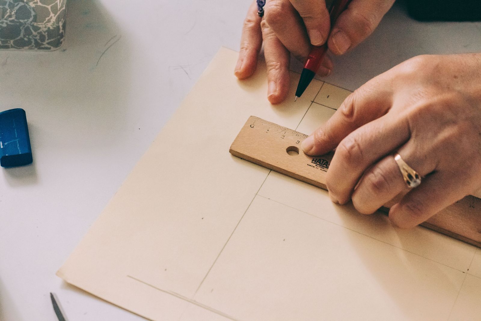
Photo: Sedanur Kunuk / Pexels
Use the Bar Right: The Checklist
Check off each step as you finish it. Your progress stays on this page.
0 of 7 complete
0% done
Anatomy of a Scale Bar
A scale bar is a line divided into segments, each segment a round ground distance: one kilometer, five hundred meters, a mile. Read it left to right and meet its parts in order. At the far left sits the extension division, a single segment stretching left from the zero mark, and it is built differently from the rest: where the main segments are whole units, the extension division is subdivided into fractions, tenths of the main unit, so that distances can be read to a fraction rather than rounded to the nearest whole segment. The zero is the bar's true origin, the point all measurement starts from, and it is not at the bar's left edge, which is the fact beginners miss. Right of zero run the primary divisions, whole units marching to the bar's end, usually with alternating black and white fills so the eye can count segments at a glance and labels at the whole numbers: 0, 1, 2, 3 kilometers. The unit is always named, and serious maps often carry two bars, metric and imperial, stacked. When you see the bar whole, as an instrument with an origin, a subdivided fractional segment, and a counted run of whole units, every technique in this guide is just a way of using those parts in order.
Measure With a Paper Edge
The technique is older than the maps it serves and needs one tool: a strip of paper with a straight edge, or a pair of dividers if you carry them. Lay the paper's edge along the route on the map, a trail, a road, a shoreline leg, and mark the start and end points on the edge with a sharp pencil. For a route that bends, walk the paper along it in short straight chords, pivoting at each bend and adding a tick, accumulating the whole path in marks. Then carry the paper to the scale bar. Set the first mark at zero, not at the bar's left edge, and read where the second mark falls: the whole primary divisions give the whole units, and if the mark overshoots the last whole division, slide the paper so the end mark sits on a whole-number line and let the start mark fall back into the subdivided extension division, where its exact fractional position can be read. That slide is what the extension division exists for. It converts "about two and a bit kilometers" into a reading like 2.3, and it is the difference between using the bar and merely admiring it.
A Worked Measurement at 1:24,000
Concrete numbers make the technique stick. On a USGS-style quadrangle at 1:24,000, one centimeter on the map is 240 meters on the ground, and one inch is 2,000 feet. Suppose the paper-edge marks for a lakeside trail segment, measured in three chords around its bends, span a total of 6.2 centimeters of map. The ground distance is 6.2 x 240 meters, which is 1,488 meters, call it 1.5 kilometers. Read against the bar instead of computing, and the same answer arrives by eye: the marks cover one whole kilometer division and fall 0.5 into the next by the extension division's fractions. Both routes agreeing is the point of the exercise: the ratio computes it, the bar shows it, and a navigator fluent in the bar gets the number in the time the computation takes to begin. Ground-truth the skill once with your own legs if you want it permanently: at a steady pace count of 62 double paces per 100 meters, that 1.5 kilometer leg should take roughly 930 double paces, and a leg walked at 200 meters should take 124, numbers our broader scale coverage in how to calculate map scale puts to other uses. When paper, bar, and boots all agree, the bar has become an instrument you trust, which is the state this article exists to produce.
Draw a Correct Bar
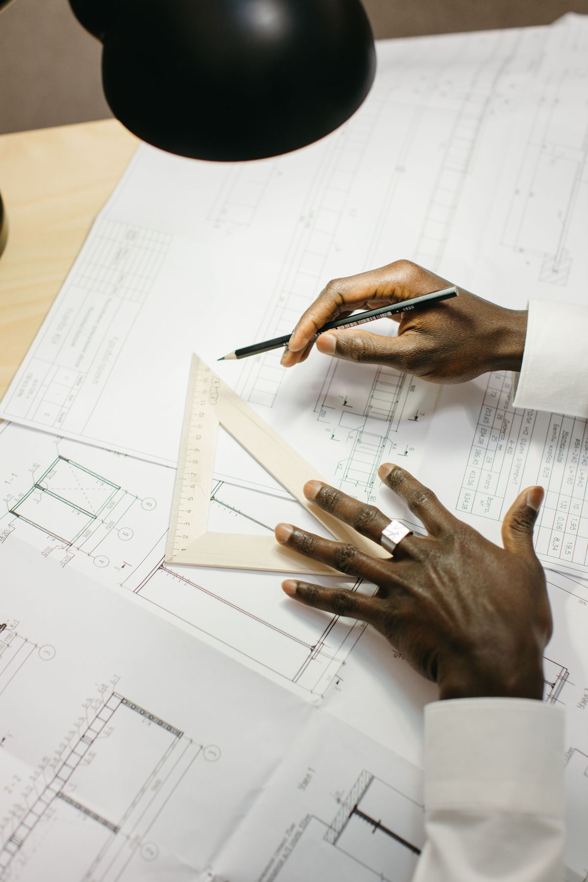
Drawing a scale bar, for your own map, a guidebook figure, a school project, is a small exact craft. Work it for 1:50,000, the common hiking scale, where one centimeter on paper is 0.5 kilometers on the ground, so a two-centimeter segment is exactly one kilometer. Decide the bar's total reach first, say 4 kilometers, and lay out from zero: an extension division of two centimeters to the left of zero, subdivided into two one-centimeter halves of 0.5 kilometers each, or finer if the drawing allows; then four primary divisions of two centimeters each to the right, labeled 0, 1, 2, 3, 4 kilometers, with alternating fills. Check the drawing against the scale arithmetically before inking it: at 1:50,000, the full eight centimeters of primary divisions must equal 4 kilometers of ground, 8 x 0.5, and it does. Two errors ruin drawn bars. The first is labeling from the bar's left edge instead of from zero, which shifts every reading by the extension division. The second is drawing segments by eye instead of by the scale's arithmetic, which produces a bar that is a picture of a bar. A scale bar is a computed object that happens to be drawn, never a drawn object that happens to be labeled.
The Photocopy Rule: Why Navigators Trust the Bar
Now the bar's finest property. Photocopy a map at 110 percent, or print a digital map at "fit to page," and every stated scale on it begins to lie: the ratio 1:24,000 is now wrong, because the map's features grew by a tenth while the printed ratio did not. The verbal scale, "one inch equals 2,000 feet," lies with it. But the scale bar was printed on the same sheet and grew by the same tenth, so the bar and the terrain it measures enlarged together, and the bar still tells the truth. Lay your paper edge on the copied map and read it against the copied bar, and the distance comes out right, because the instrument and the measured object were distorted identically. This is why working maps always carry a bar and why a barless map is a small act of negligence. The rule has one sharp edge: the rescue works only when the resizing is uniform. A copy stretched in one direction, a fax-era horror or a careless image warp, breaks the bar along with everything else, because horizontal and vertical scales have parted company and no single bar can speak for both. Uniform growth, the bar survives; directional stretch, trust nothing on the sheet.
The Bar on a Screen
Digital maps redraw the bar constantly, and noticing that completes your understanding of it. In Google Maps and its peers, a small scale bar sits in the corner of the screen and changes as you zoom, its segments relabeling themselves to stay round numbers at every scale: the bar you read at city zoom and the bar at street zoom are different instruments drawn by the same rule, each honest for the view it accompanies. Pinch the map and watch it work; the ratio of the screen map is meaningless in the way a printed ratio never is, because the display has no fixed size, and the live bar is the only scale statement a screen can honestly make. This is the photocopy rule's modern form: wherever the map's size can change after publication, screens, projectors, reprints, the bar is the scale, and everything else is a label about some other version of the map. Learn to glance at the corner bar before estimating any distance on a screen, the way you learned to read the printed one, and the habit transfers whole between paper and glass.
When the Bar and the Ratio Disagree
You now know how to adjudicate the disagreement. On an original, unresized printing, bar and ratio agree by construction, and a disagreement between them means one was drawn or printed in error, a genuine defect worth noticing before the map is trusted in the field. On any copy whose size history you do not know, a field photocopy, a printout from a PDF at an unknown setting, a photo of a map reprinted, the bar is the authority and the ratio is a rumor, for the reason the previous section gives. The professional habit follows naturally: measure from the bar, quote the bar, and when you make maps, draw the bar even when the ratio is also printed, because the person holding your map in the rain, three enlargements from the original, deserves one instrument on the sheet that still tells the truth.
Related Guides
Readers working through this topic usually need its closest companions too. These travel and outdoors map skills guides cover the neighboring ground:
- How to Read a Map Bearing: Extracting the Number From the Map: A bearing is a promise in one number, and the map bearing is where that number is born.
- Map Scale Questions and Answers: 12 Worked Problems With the Method Shown: Map scale questions all reduce to one relationship: map distance times the scale denominator equals ground distance.
- Map Legend Symbols: How to Decode Any Map Key: Every map speaks in symbols, and the legend is its dictionary.
Frequently Asked Questions
What is the extension division on a scale bar?
It is the segment to the left of the zero mark, subdivided into fractions of the bar's main unit. The primary divisions right of zero read whole units; the extension division lets you read the fractional remainder precisely. To use it, place your measured mark on a whole-number line to the right and read the fractional part where your start mark falls inside the subdivided extension.
How do you measure a curved route with a scale bar?
Use a paper edge or dividers. Walk the paper along the route in short straight chords, pivoting at each bend and ticking the paper as you go, so the whole curved path accumulates as a straight row of marks. Then lay the paper against the scale bar, start mark at zero, and read the total from the whole divisions plus the extension division's fractions.
Why does a scale bar stay accurate on a photocopied map?
Because the bar is printed on the same sheet as the map. A uniform enlargement or reduction grows the bar and the map's features by the same factor, so distances read against the bar stay correct, while the printed ratio and verbal scale, fixed numbers, become wrong. The rescue fails only if the copy was stretched unevenly in one direction.
How long is one segment on a 1:50,000 scale bar?
At 1:50,000, one centimeter on the map represents 0.5 kilometers on the ground. A segment drawn two centimeters long therefore represents exactly one kilometer, which is why bars at this scale are commonly built from two-centimeter kilometer segments, with a subdivided extension division for fractions.
Should I trust the scale bar or the ratio if they disagree?
On a copy of unknown size history, trust the bar: it resized with the map, the ratio did not. On a verified original printing, they should agree exactly; if they do not, the map itself is defective and neither should be trusted for field measurement until the error is understood.
Photo credits: Sedanur Kunuk (Pexels); Yaroslav Shuraev (Pexels). Photos are served from this site; follow the credit to the library page for the original.