Every bearing has two lives. It is born on the map, as a grid bearing measured against the map's north lines, and it is spent in the field, as a magnetic bearing walked against the needle. Guides usually rush to the walking; this one stays at the birth, because a bearing read wrong on paper is wrong everywhere it travels afterward. The skill is three physical moves and one piece of arithmetic, and each has a classic error attached that this guide names and drills. The measurer below gives real bearings between real places; the technique that follows is how such numbers are made with plastic and paper.
Home / Map Skills for Travel and Outdoors
How to Read a Map Bearing: Extracting the Number From the Map
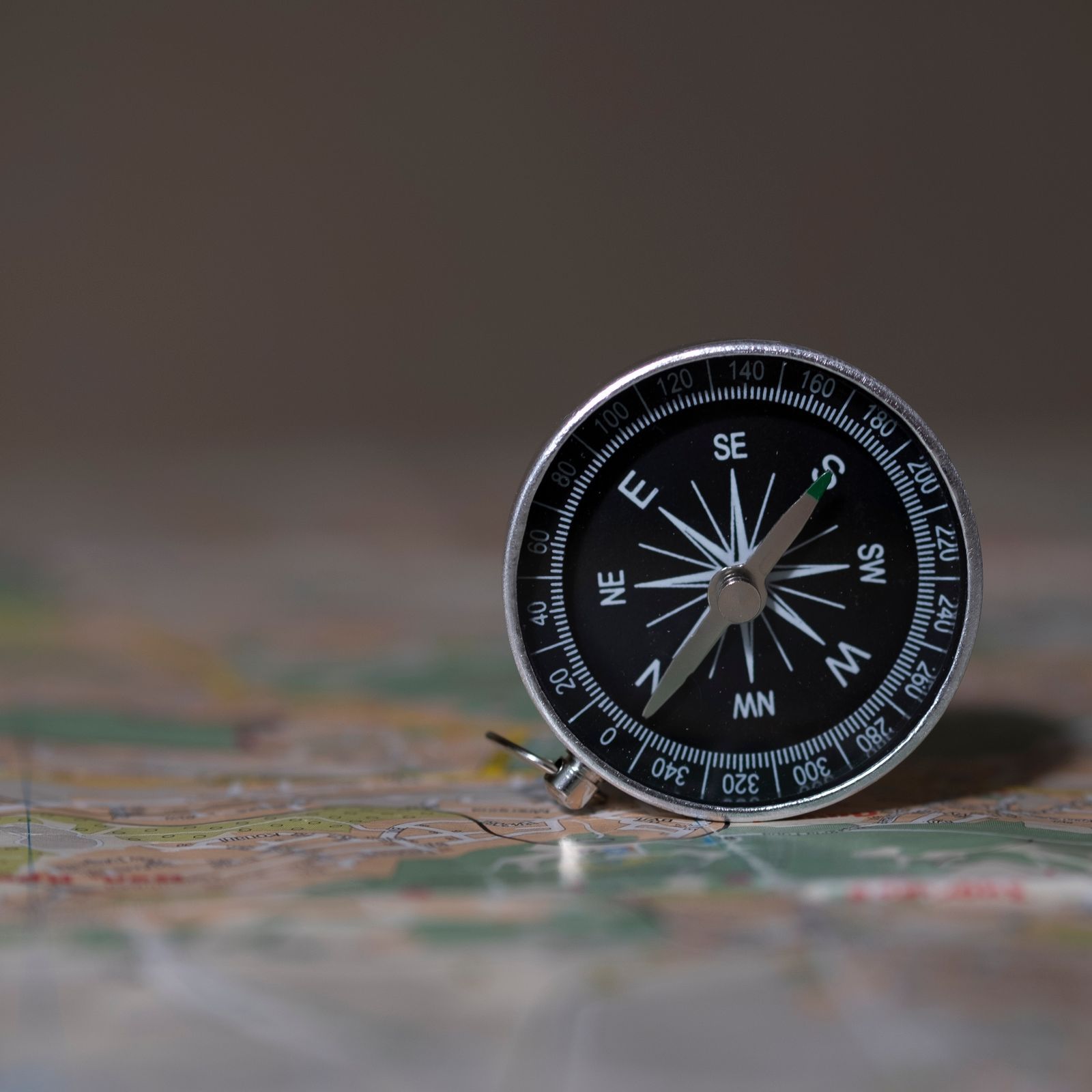
Photo: Саша Алалыкин / Pexels
Interactive map
Distance Measurer: Read the Bearing, Then Convert It
Click two places and read the bearing in degrees. Say its compass direction aloud, check it is not the reciprocal, then apply your local declination, subtract east, add west, exactly as the drills in this article prescribe.
Total straight-line distance, 0 points
Click the map to start
Distances are great-circle (haversine, mean Earth radius 6,371 km): the shortest path over the surface, not a road or trail distance. Map data © OpenStreetMap contributors.
The Three Moves
Move one: edge on the route. Lay the compass baseplate on the map so its long edge, or one of the ruled lines parallel to it, connects your position to your destination. The direction of travel arrow at the baseplate's front must point toward the destination, not back at you. This is the setup everything else depends on: the edge is your route, frozen in plastic. Move two: housing to the grid. Holding the baseplate still, rotate the compass housing until the orienting lines inside it run parallel to the map's north south grid lines, with the orienting arrow's north end pointing toward the top of the map, toward grid north. You are telling the compass where the map's north is. Move three: read the index line. The bearing is the number on the dial where the direction of travel line, the index line at the front of the housing, crosses it. Read that number. For a worked reference, the initial bearing from New York to Boston is 52.3 degrees, a number worth memorizing as an anchor: northeast, closer to north than to east, which is what 52 degrees should feel like.
The Reversed Edge Error
The classic mistake deserves its own section because it produces a confident, precise, 180 degree wrong answer. If the baseplate edge is laid along the route but the direction of travel arrow points back toward your position instead of the destination, the housing work still feels identical, and the index line reads the reciprocal bearing: your true 60 degree route reads as 240. The defense is a habit, not a talent: before reading, point at the destination on the map and confirm the baseplate's arrow agrees with your finger. Two seconds, every time. The reciprocal is not useless knowledge, by the way: 240 is exactly the back bearing you would walk to return from the destination, which is why our map and compass workflow uses plus or minus 180 as the return rule. The error is reading the return number while believing it is the outbound one.
Grid to Magnetic: The Declination Arithmetic
Your map bearing speaks grid north. Your compass needle obeys magnetic north. Declination is the local angle between them, printed in the map's margin diagram, and the conversion happens once, on paper, before the bearing ever meets the field. Easterly declination: subtract. Map bearing 90 with declination 12 degrees east becomes a compass bearing of 78. Westerly declination: add. Map bearing 90 with declination 8 degrees west becomes 98. The mnemonic generations of navigators have carried: "declination east, compass least; declination west, compass best," least and best meaning the smaller and larger reading. An adjustable declination compass performs this arithmetic mechanically once set for the region, which is why instructors recommend them; the unadjusted compass demands the sum every time, and the sum skipped is the commonest cause of the slow, mysterious drift off route that our compass reading guide diagnoses from the field side.

Self Scoring Drills
Work these on any local map, then check yourself against a phone's map bearing readout afterward, not during. Drill one: pick two landmarks a kilometer apart, take the map bearing, and state in words what the number means: "northeast, closer to north" for the 40s, "east northeast" for the 60s. The words catch gross errors the digits hide. Drill two: take the same bearing with the edge laid both ways and confirm the two readings differ by exactly 180; you are rehearsing the reversed edge on purpose so you recognize its feel. Drill three: take a bearing, apply your local declination both correctly and with the sign flipped, and note the spread: at 12 degrees declination the two candidate compass bearings are 24 degrees apart, which over a 2 km leg is the difference between the lake and the wrong valley. That spread is why the arithmetic is not pedantry. The full workflow these bearings feed is how to read a map and compass, and the military grid version of the same craft is in army maps and land navigation.
Bearings Without a Baseplate: The Protractor Fallback
A baseplate compass is a protractor that travels well, but the geometry predates it. With a printed protractor, or the angle tool of any map software, the map bearing is the clockwise angle from the grid north line through your position to the destination line. Lay the protractor's center on your position, zero aligned to grid north, and read where the destination line crosses the rim. The result should match the baseplate method digit for digit, which makes it a useful cross check when a reading feels wrong and a workable method when the compass is lost but a protractor survives in the map case. Digital tools state bearings outright: the measurer above returns them for real place pairs, and our how to measure distance on a map guide pairs the same pairs with their distances, because a bearing without a distance is half a route. Know both halves: the number that aims you, and the number that tells you when to stop walking and start looking.
The Language of Bearings: Quadrants and Words
Bearings are stated in degrees, but navigators also speak them in two older dialects worth recognizing. Quadrant bearings name a direction from the nearer pole toward east or west: N 40 E means start at north, turn 40 degrees toward east, which is the azimuth 40; S 30 W is azimuth 210. Surveyors and older texts use them, and the conversion is a small geometry exercise each time. Compass points, the 32 named winds of the mariner's rose, survive in speech: northeast by east, and its siblings divide the circle into 11.25 degree steps. Our how to read a compass guide covers the rose itself. The modern field standard remains the three figure azimuth, stated with all its digits, 052 rather than 52, so a misheard number announces itself. Whichever dialect a source speaks, translate it to an azimuth on your map before you walk it, because the map bearing's home is the dial, and the dial speaks degrees.
Common Misreadings and Their Tells
Beyond the reversed edge, three misreadings account for most bad map bearings. Reading the wrong end of the dial: some housings print supplementary scales, and a number grabbed from the inner scale can be the reciprocal or a quadrant value; the tell is a bearing that contradicts the obvious direction, northeast read as southwest, and the cure is the word check from the drills, say the direction aloud before trusting the digits. Aligning to the map's edge instead of its grid: page edges and neat lines are not always grid north, especially on maps with rotated layouts; the tell is a constant small error on every bearing from that sheet, and the cure is aligning to printed grid lines or the north arrow's own reference. Parallax on the index line: reading the dial from an angle shifts the apparent number by a degree or two; read from directly above, the way you would read any instrument whose answer you intend to walk on. Each misreading has the same moral: a bearing is a measurement, and measurements get verified, by words, by a second method, or by the terrain's agreement within the first leg. The navigators who survive their own errors are the ones whose process expects them.
Related Guides
Readers working through this topic usually need its closest companions too. These travel and outdoors map skills guides cover the neighboring ground:
- How to Read a Map for Driving: Road Atlases, Mileage Charts, and Exit Numbers: A road atlas is a system, not a picture: road classes and shields rank the network, the mileage chart gives distances between junctions without a...
- How to Read a Map for Orienteering: ISOM Colors, Symbols, and Control Descriptions: An orienteering map is not a small topographic map.
- Best Hiking Map App for the UK: Ordnance Survey Data in Your Pocket: British hiking runs on one dataset: Ordnance Survey mapping, the Explorer sheets at 1:25,000 that show every footpath, wall, and access boundary a...
Frequently Asked Questions
What is a map bearing?
It is the angle, measured clockwise from grid north on the map, of the line from your position to your destination, read with a baseplate compass laid along the route. It becomes a compass bearing after the declination correction, and the two numbers should never be confused: they live in different norths.
Why does my bearing read 180 degrees off?
Almost always the reversed edge error: the baseplate edge lies along the route but its direction of travel arrow points toward your position instead of the destination. The fix is the two second habit: point at the destination on the map and confirm the arrow agrees before you read the dial.
Do I read the bearing where the needle points?
No. On the map, the needle is irrelevant; you read the number at the index line after aligning the housing's orienting lines with the map's grid. The needle enters the story later, in the field, when you turn your body to match the bearing. Reading the needle on paper is a beginner mix up between the bearing's two lives.
How do I convert a map bearing to a compass bearing?
Apply the local declination, printed in your map's margin. Subtract an easterly declination and add a westerly one: map 90 with 12 degrees east gives compass 78; with 8 degrees west, 98. An adjustable declination compass can be set to do this automatically for your region.
What is a back bearing, and how do I get it?
The back bearing is the direction from the destination back to your start: add 180 degrees if your bearing is under 180, subtract 180 if it is over. A 60 degree outbound leg returns on 240. Back bearings also relocate you: bearings taken on two landmarks and plotted backward cross at your position.
How precise is a bearing read from a paper map?
A careful reading with a baseplate compass is good to about 2 degrees, limited by the dial's graduations, the thickness of the printed lines, and alignment care. That precision is why field technique uses short legs and landmarks: 2 degrees over 1 km is about 35 meters of drift, easily absorbed by a visible target, while the same error over 10 km is a different hillside.
Photo credits: Саша Алалыкин (Pexels); ArtHouse Studio (Pexels). Photos are served from this site; follow the credit to the library page for the original.