An address is for humans; a map needs numbers. Forward geocoding is the translation, address in, latitude and longitude out, and it is the mirror image of the reverse lookup in convert latitude and longitude to address. The concept itself is defined in what is geocoding; this guide is the working craft: which tool for one address, which for ten, which for ten thousand, and how to know whether the pair you got is the right building or a same named street two towns away. Every method below ends with the same verification step, because an unverified geocode is a rumor with decimals.
Home / Coordinates and Location Formats
How to Find Coordinates by Address: Forward Geocoding in Maps, Nominatim, and Bulk
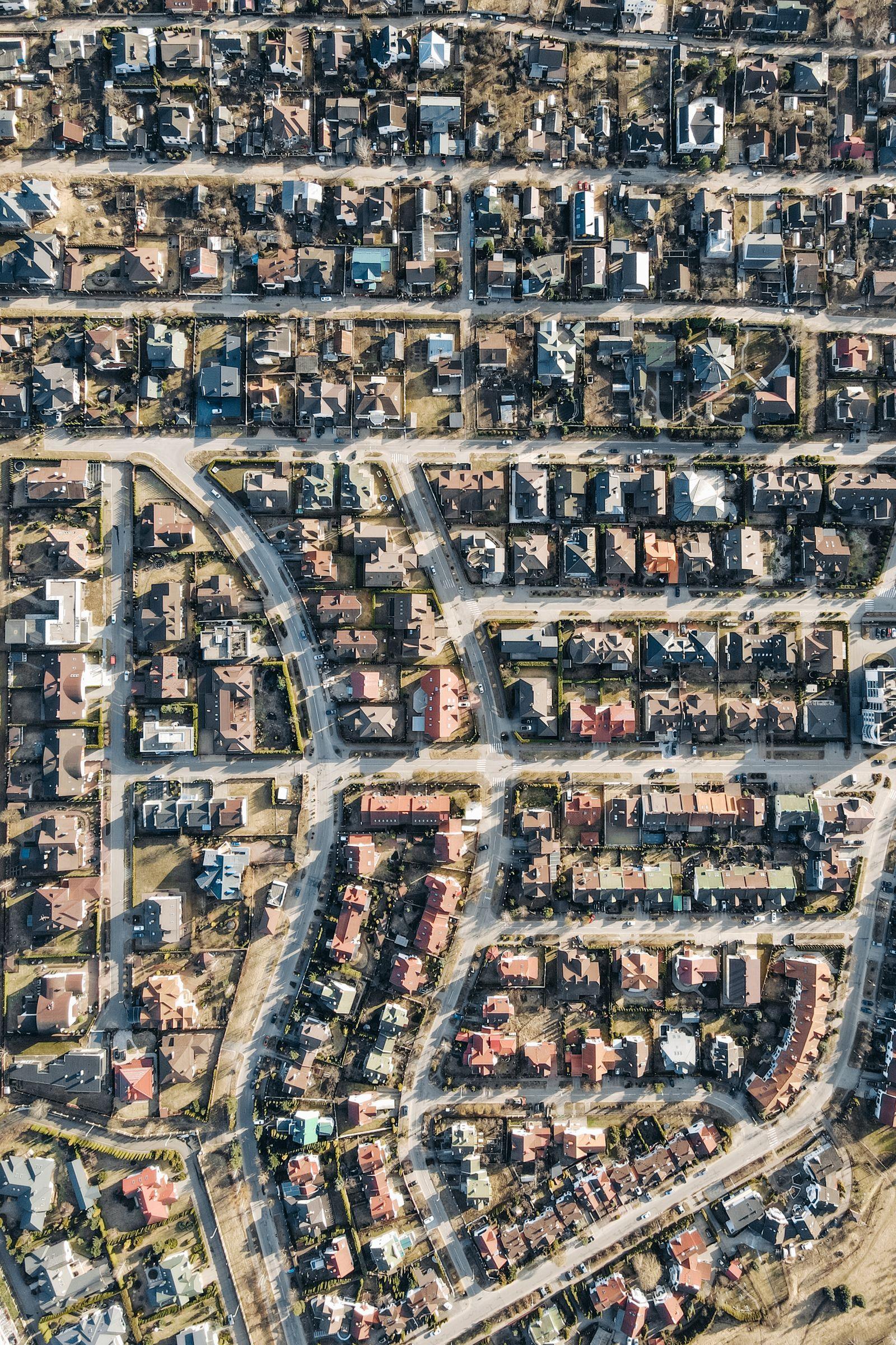
Photo: Pavel Danilyuk / Pexels
Interactive map
Coordinate Explorer: Check the Pair Your Address Returned
Geocoded an address somewhere else? Click the same spot here and compare the latitude and longitude. If the two pairs disagree by more than a few hundred meters, one of the geocoders matched the wrong street or the wrong town, and this article shows how to tell which.
Decimal degrees40.689167, -74.044444
Latitude40.689167° N
Longitude74.044444° W
Degrees minutes seconds40° 41' 21.00" N, 74° 02' 40.00" W
Degrees decimal minutes40° 41.350' N, 74° 02.667' W
Plus code87G7MXQ4+M67
Map data © OpenStreetMap contributors. Coordinates are read from the map itself, in the WGS 84 system your phone uses.
One Address: The Map Method, Ten Seconds
Open Google Maps, type the full address, and let the search resolve it to a pin. Then right click the pin (or long press on mobile) and the context card shows the coordinates in decimal degrees at the top; click the pair to copy it. That is the whole method, and for a single address nothing beats it. Three refinements separate a good result from a plausible one. Include the town and postal code in the search, because street names repeat relentlessly. Zoom in and confirm the pin sits on the right building, on the right side of the street; the search result list sometimes offers two candidates and silently picks the first. And read the pair off the pin you verified, not off a similar result in the list. The Apple Maps equivalent, drop a pin and swipe up to the Coordinates section, is taught step by step in how to find coordinates on apple maps.
A Handful of Addresses: Nominatim and OpenStreetMap
For a few addresses, or when you want a result independent of Google, use Nominatim, the search engine over OpenStreetMap data, at nominatim.openstreetmap.org. Type the address; each result comes with its latitude and longitude displayed, its place type (building, road, suburb), and a bounding box. Nominatim's honesty is its gift: it shows what it matched, so "123 Main Street" matched to a road rather than a building tells you the result is street level, not door level. Its usage policy asks for light, manual use in the browser, which a handful of lookups respects. The OpenStreetMap main site search uses the same engine and drops a marker you can read the pair from. For checking a result, the explorer above lets you click the spot your address should be and compare pairs; a disagreement beyond a few hundred meters means one of the two matched the wrong place, and the map method's building check is the tiebreaker.
Many Addresses: Batch Geocoding Without Tears
A spreadsheet of addresses is a different sport, governed by rate limits and match rates. The working options: the Google Maps Platform Geocoding API (paid, key required, the deepest address data), Nominatim's API (free, with a strict usage policy of at most one request per second and no heavy bulk use, which rules it out for large jobs), and downloadable or hosted batch geocoders built for volume. Whichever engine you choose, the discipline is identical. Clean the input first: one column per address part, postal codes present, country stated, because geocoders fail on ambiguity, not on spelling. Keep the engine's match quality fields in your output (Google returns a location type from ROOFTOP down to APPROXIMATE; Nominatim returns the place class and importance), and never strip them: they are the difference between a dataset and a liability. Then audit a sample by eye on a map, and audit all results below your quality threshold. A batch that is 97 percent rooftop and 3 percent wrong town is not 97 percent good; it is a map with traps in it.

Reading a Result: Rooftop, Street, or Town
Every geocode answer is really two answers: a pair, and a claim about what the pair represents. Rooftop (or building) level means the pair sits on the structure. Street level, often an interpolation along the road between known numbers, can be off by tens of meters and, on long rural roads, by far more. Locality level means the engine gave up and returned the town center, a pair that looks precise and means almost nothing. The traps are the quiet ones: a result with six confident decimals at locality level, or the same street name in the neighboring town matched because your postal code was missing. Guard with the habit from the checklist: for any address that matters, open the result on a map and look at the building, the street, and the town name together. Coordinates copied without that look are how a delivery map ends up pointing at a field with the right street name in the wrong county.
Why Two Geocoders Disagree
Run the same address through Google and Nominatim and the pairs often differ by a few meters, sometimes by a street. The causes are structural, not bugs. The entrance versus centroid choice: one engine returns the building's center, the other its street frontage or driveway. Data vintage: OpenStreetMap building outlines are community drawn and can lag or lead commercial data depending on the neighborhood's mappers. Interpolation: for addresses between known points on a road, each engine guesses along the segment with its own model. And address parsing: "Flat 2, 123 Main Street" or a rural route address parses differently in different systems. For navigation and meeting points, a few meters is nothing. For a dataset, pick one engine per project and record which, because mixing engines mixes conventions invisibly. The pair grammar both engines speak is latitude and longitude format.
Saving the Result So It Stays True
Record the pair with its provenance: the address as given, the engine, the date, and the match level. Addresses are revised, buildings are renumbered, and a pair with a source and a date can be re checked; a bare pair cannot. Store latitude and longitude as separate numeric fields, never as a screenshot or a formatted string, and keep the sign discipline straight: west and south are negative, and a dropped minus sign relocates an address across an ocean, not across a street. If the pair is destined for a device or a GIS, the conversions in convert latitude and longitude restyle it for UTM, DMS, and the other dialects without changing the point.
Addresses That Resist: Rural Routes, New Builds, and Vanity Addresses
A stubborn minority of addresses defeats every engine, and recognizing them saves hours of re searching. Rural route and highway contract addresses describe a road segment, not a point, and geocode to the segment's middle or its start with false confidence. New construction lags every database by months; the address exists at the permit office before it exists in any geocoder, and the honest result is the development's entrance, verified on current satellite imagery. Vanity and campus addresses (a university's single street address spanning a square kilometer, a hospital's one address for twelve buildings) geocode correctly to a point that is useless for arrival; the fix is to geocode the named building or the entrance, and record the pair with a note about what it actually marks. In all three cases the method does not change: get the best pair available, open it on a map, move it to the entrance a human needs, and record that you did, with the original address beside it. A geocode you corrected and documented is worth more than a rooftop match to the wrong door.
Related Guides
Readers working through this topic usually need its closest companions too. These coordinates guides cover the neighboring ground:
- How to Find a Coordinate Point in AutoCAD: ID, Status Bar, LIST, and Bulk Export: AutoCAD knows the coordinates of every point in a drawing, and offers five ways to read them, from the one click ID command to a full...
- How to Find the Centroid Coordinates of a Triangle: Average the Vertices, Then Prove It With the Medians: The centroid of a triangle is the average of its three vertices: add the three x coordinates and divide by three, add the three y coordinates and...
- How to Find Coordinates From Slope-Intercept Form: Build (x, y) Points From y = mx + b: An equation in slope-intercept form, y = mx + b, is a machine for producing coordinates: choose any x, run it through the equation, and the y that...
- Geocoding in ArcGIS Pro: Build a Locator, Geocode a Table, and Rematch What Failed: the batch version of the same question
Frequently Asked Questions
What is the fastest way to get coordinates for one address?
Search the address in Google Maps, right click the resulting pin, and copy the decimal pair shown at the top of the context menu. Verify the pin is on the right building before copying; the whole task takes ten seconds, and the verification is the part that makes it trustworthy.
Is Nominatim free to use for geocoding?
Yes for light use. The public Nominatim service is free in the browser and through its API within a strict usage policy, at most one request per second and no large bulk jobs. For volume, run your own instance or use a paid batch geocoder. Always keep the match type it returns with your result.
Why did my address geocode to the wrong town?
Street names repeat, and a missing or wrong postal code lets the engine pick the same named street elsewhere. Add the town, county, and postal code, and check the result on a map. If two candidates appear, the engine is telling you the address is ambiguous; choose by looking, not by list order.
What does rooftop accuracy mean in a geocoding result?
It means the returned pair sits on the building itself, the highest match level (Google labels it ROOFTOP). Below it come interpolated street positions, then road or locality centers. Treat anything below rooftop as approximate and verify it on a map before using it for navigation or records.
Can I geocode a whole spreadsheet of addresses?
Yes, with a batch tool: the Google Geocoding API, a hosted batch geocoder, or your own Nominatim instance. Clean the addresses first, keep each result's match quality field, and audit a sample plus every low quality match on a map. The public Nominatim API's policy does not allow heavy bulk use.
Photo credits: Pavel Danilyuk (Pexels); GeoJango Maps (Pexels). Photos are served from this site; follow the credit to the library page for the original.