Most coordinate lookups end with one pair of numbers. Antarctica refuses. It is a continent with no capital, no permanent population, and no single place that represents it, so the databases that normally settle such questions each picked a different point, and each had a defensible reason. The result is a small lesson in how coordinates work: a point is always a choice, and for Antarctica the choice changes the answer by thousands of kilometers. This guide lays out the candidate points, who publishes each one, and which one you should use for which job.
Home / Coordinates and Location Formats
Coordinates of Antarctica: Why a Continent Has No Single Point
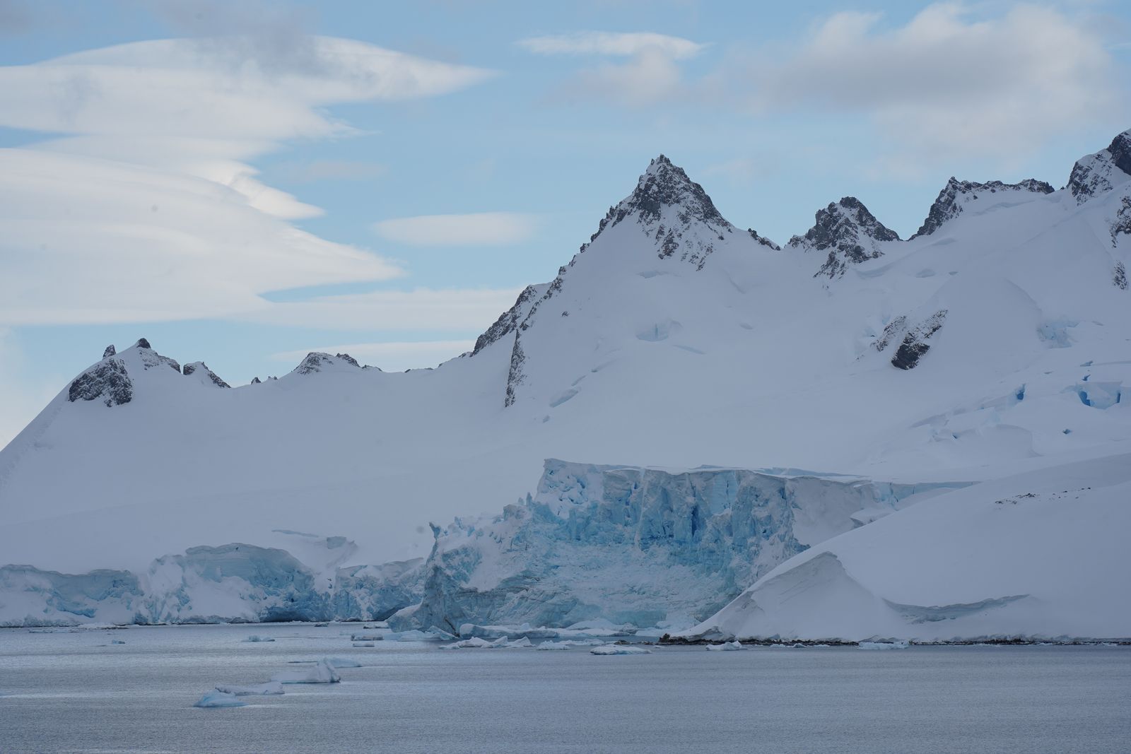
Photo: Ham Chitnupong / Pexels
Interactive tool
One Continent, Many Points: The Coordinate Checks
Check off each step as you finish it. Your progress stays on this page.
0 of 7 complete
0% done
The Short Answer: There Is No Short Answer
If a form, a database, or a quiz forces one pair of numbers on you, the most widely published answer is the geographic South Pole: 90 degrees S, with longitude undefined. That is the coordinate the CIA World Factbook prints for Antarctica, and it is the point Wikidata carries. But understand what it is: not the center of the continent, not its most important place, just the one point on Earth where every direction is north and the longitude question dissolves. Other authorities made other choices. The OpenStreetMap wiki places the continent's centroid at 75 degrees S, 0 degrees E, deep in the interior of East Antarctica. Apple Maps pins the continent at 78.65907 degrees S, 11.44237 degrees E, a point in the interior reached by its own labeling logic. None of these is wrong. They are answers to three different questions wearing the same clothes.
Why Longitude Breaks at the Pole
Antarctica is the only continent that contains a pole, and that fact alone breaks the usual lookup. Longitude lines all converge at 90 degrees S, so the South Pole has every longitude at once and therefore none. Any system that requires a longitude value for the pole is forced to print a placeholder, commonly 0, and that placeholder is a data entry convention, not a measurement. The continent also wraps around the pole, so it touches every longitude on Earth: Antarctica is the only continent present in all 24 time zone offsets at once, which is why research stations there typically keep the time of their supply country rather than any local solar time. A single representative point for a landmass shaped like that is a cartographic decision, never a discovery.
The Candidate Points, With Their Sources
| Point | Coordinates | Published by | What it actually is |
|---|---|---|---|
| Geographic South Pole | 90 degrees S, longitude undefined | CIA World Factbook, Wikidata | The axis point; every longitude meets here |
| Continental centroid | 75 degrees S, 0 degrees E | OpenStreetMap wiki | A computed center of the landmass |
| Apple Maps label point | 78.65907 degrees S, 11.44237 degrees E | Apple Maps | The point Apple's labeling places the name on |
| Prime Head | 63 degrees 12 minutes 48 seconds S, 57 degrees 18 minutes 8 seconds W | Reference listings of extremes | The northernmost point of the continent |
| McMurdo Station | 77 degrees 51 minutes S, 166 degrees 40 minutes E | CIA World Factbook station list | The largest research station |
| Palmer Station | 64 degrees 43 minutes S, 64 degrees 03 minutes W | CIA World Factbook station list | A United States station on the Peninsula |
Read the table as a warning about copying coordinates without their context. The pole and the centroid are about 1,600 kilometers apart. A dataset that silently swaps one for the other has not made a rounding error; it has moved the continent.

The Edge of the Continent: 60 Degrees South
If the interior points are conventions, the continent's boundary is a legal line. The Antarctic Treaty defines its area of application as everything south of 60 degrees S latitude, and that parallel is the closest thing Antarctica has to an official edge. North of it lie the sub-Antarctic islands and open Southern Ocean; south of it, the Treaty system governs, research stations operate under its rules, and territorial claims are held in abeyance. For many practical purposes, "the coordinates of Antarctica" as a region means this: a cap of the planet bounded by one line of latitude, containing all longitudes. It is also why so many Antarctic datasets are stored as polar projections rather than ordinary latitude and longitude grids, a topic our guide to map projections takes up in depth.
The Northernmost Point: Prime Head
Continents are often located by their extremes, and Antarctica's northern extreme is Prime Head, at the tip of the Antarctic Peninsula, at 63 degrees 12 minutes 48 seconds S, 57 degrees 18 minutes 8 seconds W. The Peninsula is the continent's long arm reaching toward South America, and Prime Head is its far end, the Antarctic land closest to another continent. It sits roughly 1,000 kilometers from the southern tip of South America across the Drake Passage. If your mental image of Antarctica is the round white disc at the bottom of the map, Prime Head is the exception that proves the shape: a mountainous spine of land pointing north, warm enough by Antarctic standards to host most of the continent's research stations and nearly all of its wildlife tourism.
The Stations: Coordinates People Actually Travel To
Nobody navigates to a centroid. The Antarctic coordinates that get typed into real GPS units belong to the research stations, and the Factbook prints the two best known United States stations: McMurdo Station at 77 degrees 51 minutes S, 166 degrees 40 minutes E, on Ross Island, the largest station on the continent and its main logistics hub; and Palmer Station at 64 degrees 43 minutes S, 64 degrees 03 minutes W, on Anvers Island off the Peninsula. The Amundsen-Scott South Pole Station sits at 90 degrees S by definition. Station coordinates also show why Antarctic navigation is a specialist subject: magnetic poles wander, grid north replaces true north in polar projections, and a compass is close to useless near the pole. Our explainer on how GPS works covers the satellite side of fixing a position in places like this.
Which Point Should You Use? A Decision Table
| Your job | Use this point | Why |
|---|---|---|
| Labeling a world map | The centroid, 75 degrees S, 0 degrees E | It sits inside the landmass, where a label belongs |
| Filling a database field for "Antarctica" | The South Pole, 90 degrees S | It is the Factbook and Wikidata convention most datasets follow |
| Planning travel or logistics | The station you are visiting | Stations are the only inhabited points; nothing else is a destination |
| Describing the Treaty region | South of 60 degrees S | The boundary is a parallel, not a point |
| Teaching how coordinates work | All of them, with sources | The disagreement is the lesson |
The habit to build is the one this whole site argues for: never copy a coordinate pair without its source and its meaning. For a city, the convention is settled enough that the pair alone usually suffices. For Antarctica, the pair alone is meaningless until you know which question it answers.
How to Verify Any Antarctic Coordinate Yourself
Open any two independent map services and search for Antarctica. Note where each one drops its label or pin; you will reproduce the disagreement in this article in under a minute, because the services made different choices. Then search for a named station, McMurdo for instance, and watch both services agree to the minute of arc. That contrast is the whole subject in miniature: named, bounded, inhabited places have coordinates; a polar continent has candidates. If you work with Antarctic data seriously, record in your metadata which convention you used, pole or centroid, so the next person does not have to guess which of the two your numbers mean.
The same verification habit protects you with every other coordinate on this site. A pair of numbers is a claim, and claims have sources; the moment a coordinate matters (a boundary, a rendezvous, a dataset someone will build on), spend the minute it takes to find the second source and compare. For most of the world the two will agree and you have lost a minute. For the interesting places, the poles, the disputed borders, the centroids of things too big to stand on, they will not, and the disagreement is not an obstacle to your work. It is information about the place itself, of exactly the kind this article exists to teach.
The Moving Pole: Even 90 Degrees S Will Not Sit Still
The pole has one more surprise. The South Pole Station sits on an ice sheet that is itself flowing, carrying the surface slowly across the geographic pole. The station's marker for the exact pole is therefore re-surveyed and repositioned as the ice moves, and the ceremonial marker visitors photograph is a signpost near the station, not a survey monument. The lesson generalizes: a coordinate names a position in a reference system, while the ground, especially ice, has its own opinion. On rock continents the difference is small enough to ignore for a lifetime. In Antarctica the ground moves at a pace a single career can measure, which is one more reason Antarctic datasets carry epochs and conventions where a city dataset carries a pin.
Why Navigation Near the Pole Is Its Own Discipline
Near the pole, the ordinary habits of navigation invert. Walk a few hundred meters in any direction and your longitude can swing through degrees, because the meridians are packed so tightly together. True north and grid north, nearly identical in temperate latitudes, point in wildly different directions depending on which projection grid you are using. Compasses fail twice over: the magnetic pole is far away and the horizontal field is weak, so the needle would rather dip than point. This is why polar work runs on grid references and polar stereographic projections, why stations keep the time zone of their home supply country, and why "the coordinates of Antarctica" is a question professionals answer with another question: for what, and in which system? If you take one idea from this article, take that one. Coordinates are answers, and an answer is only as good as the question it was measured for.
Related Guides
If this page answered part of the question, these coordinate guides cover the rest of the same ground:
- Can Latitude and Longitude Be Negative? The Sign Rules, Explained: The southern hemisphere is where negative latitude lives, and Antarctica is its extreme case.
- How to Find Centroid Coordinates: The Center of a Shape, Three Ways: How a centroid like the OSM point at 75 degrees S is actually computed.
- Latitude and Longitude Format: DD, DMS, and DDM Without the Confusion: The three notations the station coordinates in this article move between.
- Coordinates of My Location: Read Your Own Position Right: The same lookup, for the one point that is never in dispute.
Frequently Asked Questions
What are the coordinates of Antarctica?
There is no single official pair. The CIA World Factbook and Wikidata give the South Pole, 90 degrees S with longitude undefined. The OpenStreetMap wiki gives a centroid at 75 degrees S, 0 degrees E, and Apple Maps pins the continent at 78.65907 degrees S, 11.44237 degrees E. Which one is right depends on the job; this article's decision table matches points to purposes.
Why is there no longitude for the South Pole?
All lines of longitude converge at the poles, so the South Pole lies on every longitude at once. A longitude value there is meaningless, which is why the Factbook lists latitude only, and why systems that demand a number print a placeholder such as 0.
What is the northernmost point of Antarctica?
Prime Head, at the tip of the Antarctic Peninsula, at 63 degrees 12 minutes 48 seconds S, 57 degrees 18 minutes 8 seconds W. It is the part of the continent closest to South America.
Where does Antarctica officially begin?
The Antarctic Treaty applies to everything south of 60 degrees S latitude. That parallel is the continent's working boundary for law, research governance, and most regional datasets.
What are the coordinates of McMurdo Station?
The CIA World Factbook lists McMurdo Station at 77 degrees 51 minutes S, 166 degrees 40 minutes E. It is the largest research station in Antarctica and the continent's main logistics hub. Palmer Station, the other United States station the Factbook lists, sits at 64 degrees 43 minutes S, 64 degrees 03 minutes W.
Photo credits: Ham Chitnupong (Pexels); Francesco Ungaro (Pexels). Photos are served from this site; follow the credit to the library page for the original.