Here is the short answer this whole article unpacks: GPS coordinates are latitude and longitude. When your phone, your car, or a handheld GPS reports "GPS coordinates," it is reporting a latitude and a longitude, measured on the WGS 84 reference model of the Earth, most often written as a pair of decimal numbers. The two phrases in the search query are not rival systems. One names the source of the numbers, the receiver listening to satellites; the other names what the numbers are. Everything else, the formats, the order traps, the datum fine print, is dialect, and dialect is exactly where points get lost. This guide teaches the dialects.
Home / Coordinates and Location Formats
GPS Coordinates vs Latitude and Longitude: They Are the Same Thing, Said Three Ways
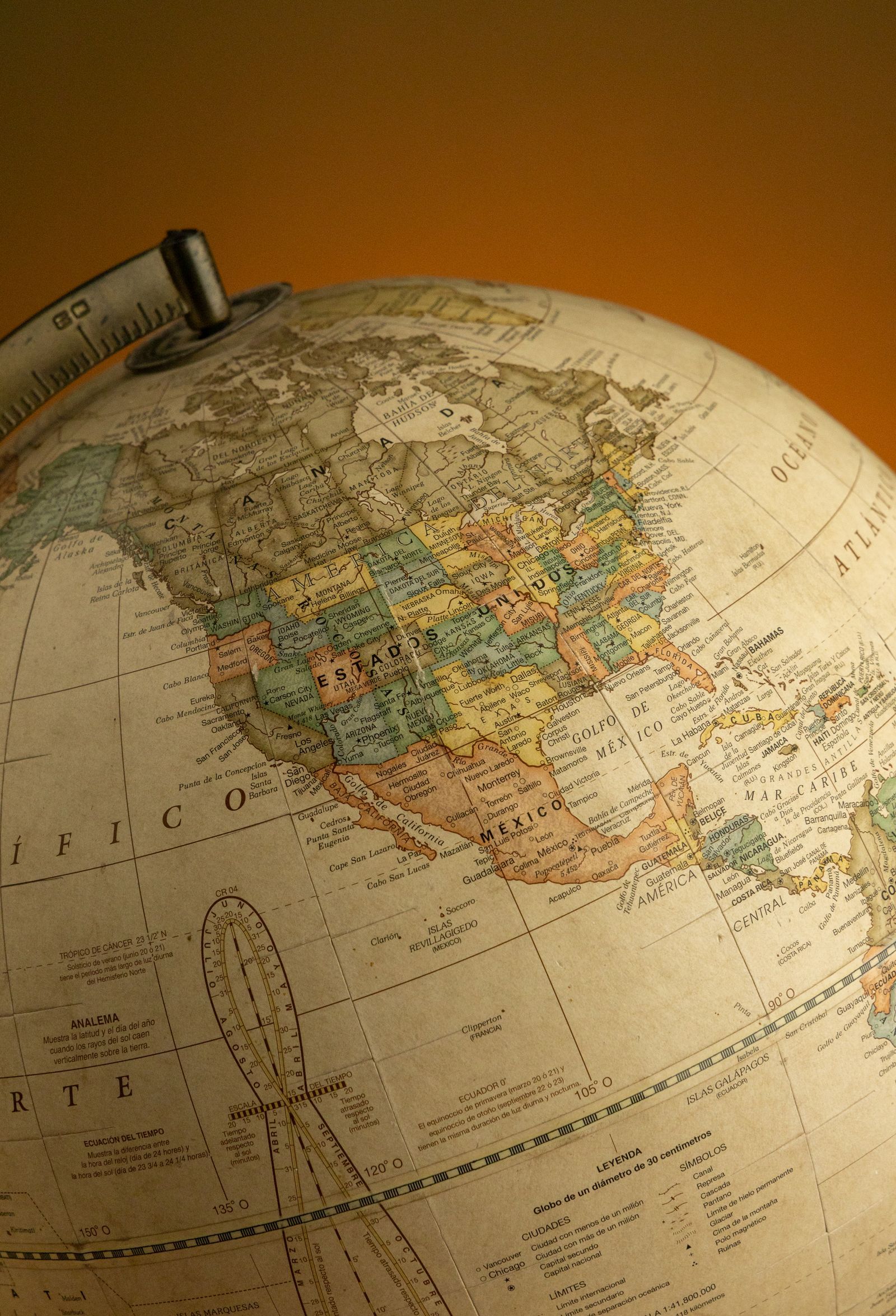
Photo: Amar Preciado / Pexels
Interactive tool
Coordinate Converter: One Point, Three Dialects
Paste any pair and read the same point in decimal degrees, degrees decimal minutes, and degrees minutes seconds. The point never moves; only the dialect changes, which is the whole argument of this article in one tool.
From decimal degrees
Degrees minutes seconds40° 41' 21.00" N, 74° 02' 40.00" W
Degrees decimal minutes40° 41.350' N, 74° 02.667' W
Plus code (11 digits)87G7MXQ4+M67
Plus code (10 digits)87G7MXQ4+M6
Your latitude breaks down as 40 degrees, 41 minutes, 21.00 seconds. One degree is 60 minutes, one minute is 60 seconds, so a second of latitude is about 31 meters on the ground.
From degrees minutes seconds
Decimal degrees40.689167, -74.044444
Degrees decimal minutes40° 41.350' N, 74° 02.667' W
Plus code (11 digits)87G7MXQ4+M67
Conversions use the WGS 84 coordinate system, the same one GPS satellites and phone maps use. Plus codes are computed with the open location code algorithm, the same method Google Maps uses.
The Identity, Stated Precisely
Latitude measures how far north or south of the equator a point sits, from 0 degrees at the equator to 90 at the poles. Longitude measures how far east or west of the prime meridian through Greenwich it sits, from 0 to 180 in each direction. A GPS receiver computes your position in three dimensional space from satellite signals, then expresses it on the WGS 84 ellipsoid, the standard Earth model the GPS system itself is built on, as a latitude and longitude. That is why the pair your receiver gives you drops straight into Google Maps, a chart, or any modern GIS without translation: they are all speaking WGS 84 latitude and longitude. Our latitude and longitude explainer covers the two angles themselves, and latitude and longitude format goes deeper on notation than this comparison needs to.
One Point, Three Dialects: A Worked Example
Take the Statue of Liberty, at 40.689167, -74.044444 in decimal degrees. The same point in the other two common dialects:
| Format | Latitude | Longitude | How it reads |
|---|---|---|---|
| Decimal degrees (DD) | 40.689167 | -74.044444 | One signed number each |
| Degrees decimal minutes (DDM) | 40° 41.350′ N | 74° 2.667′ W | Degrees, then minutes with decimals |
| Degrees minutes seconds (DMS) | 40° 41′ 21.00″ N | 74° 2′ 40.00″ W | Degrees, minutes, seconds |
The conversions are pure arithmetic. For the latitude: the whole number 40 is the degrees. Multiply the fraction 0.689167 by 60 to get 41.35002 minutes, which is the DDM form. Take the fraction of that, 0.35002, times 60 again to get 21.00 seconds, the DMS form. Signs and letters carry the same information: negative latitude means south, negative longitude means west, and the letters N, S, E, W say the same thing in words, which is why a pair never needs both. The converter above performs this restyling in both directions for any pair you paste, and our dedicated guides to decimal degrees and to degrees minutes seconds show the longhand arithmetic for each direction.
Trap One: The Order Swap
Latitude comes first in the convention used by maps, GPS devices, and nearly every human facing system: latitude, then longitude, "lat, long." Two important machine systems reverse it. GeoJSON, the web's map data format, writes coordinates as longitude, latitude, a decision its specification defends on x, y axis grounds and which we examine in GeoJSON vs shapefile. Many programming libraries follow the same x first logic. A swapped pair rarely produces an error message; it produces a point in the wrong ocean, because a latitude of 74 is legal while a longitude of 40 is too, so both numbers pass validation and the point silently teleports. When a location lands in the sea or the wrong continent, suspect the swap before anything else. A related question, answered in can latitude and longitude be negative, is what the signs mean; the swap trap is what happens when the numbers trade chairs entirely.
Trap Two: The Dialect Mismatch
Typing a DMS pair into a box expecting decimal degrees does not fail loudly either. Enter 40° 41′ 21″ as "40.4121" and you have placed the point about 17 miles south of the statue, because 0.4121 degrees is not 41 minutes 21 seconds of arc. The numbers look similar, sit in the same range, and pass every sanity check except the map. The defense is to read the label on any coordinate you receive: a pair with degree symbols or colons is not decimal, and a decimal pair with more than about six fraction digits is claiming centimeter precision no consumer device earned.
Trap Three: The Datum Shift
The fine print under "WGS 84" is the datum, the exact Earth model the numbers reference. GPS speaks WGS 84 natively. Older maps and some national systems speak others: NAD 83 in North America sits within about a meter or two of WGS 84 for most purposes, close enough that hikers ignore it safely. Older datums can differ by hundreds of meters: coordinates read off a mid century map in a local datum, typed into a GPS as if they were WGS 84, can put the point in the wrong field. When precision matters, a coordinate pair is incomplete without its datum, and "GPS coordinates" earns its keep as a phrase precisely because it implies the datum: WGS 84, from the satellites, in the format of latitude and longitude.
So Which Phrase Should You Use?
Use "latitude and longitude" when you mean the numbers themselves, in any context, forever; it is the correct general term. Use "GPS coordinates" when the source or the implied WGS 84 datum matters, or when talking to someone holding a receiver. Never treat them as alternatives to convert between. The conversions that actually exist are between formats, DD, DDM, and DMS, and between datums and grid systems like UTM, which is a genuinely different system and gets its own comparison. Settle the identity, mind the order, name the dialect, and the numbers will take you to the statue, not the sea.
Precision Theater: How Many Decimals Mean Anything
Decimal places have a clean physical meaning, and quoting more of them than your device earned is the commonest small dishonesty in coordinate work:
| Decimal places | Ground distance per unit in the last place | Honest source |
|---|---|---|
| 3 | About 111 meters | A rough fix, a map click |
| 4 | About 11 meters | A decent consumer fix |
| 5 | About 1.1 meters | A good phone fix outdoors |
| 6 | About 11 centimeters | Survey and high end receivers |
| 7 | About 1.1 centimeters | Arithmetic, not measurement |
A phone outdoors honestly earns five places. When an app shows you eight, the last three are the sound of mathematics filling silence. This matters when you share coordinates for anything physical, a meetup, a delivery note, a geocache: five decimals is a doorway, six is a person, and beyond six you are describing the same person with increasing confidence and no new information. It also matters in reverse: rounding a pair to three decimals before sharing it quietly moves the meeting point by a street or two. Keep the digits your device earned, no more and no fewer.

The Phrase in the Wild: Reading Other People's Coordinates
You will receive coordinates in every dialect and a few inventions, and a reading protocol keeps them safe. First, identify the format by its furniture: degree symbols mean DMS or DDM; two plain decimals mean DD; a letter pair means hemispheres are spelled out and signs are absent. Second, check the ranges: a latitude beyond 90 or a longitude beyond 180 is not a coordinate, it is a typo or a swap, and a "latitude" of 122 is a longitude that has wandered into the wrong chair, common when data passes through systems that think in x, y order. Third, sanity check against the story: a pair for a place in Kansas that plots in the Pacific is a sign error, a swap, or a dialect mismatch, in that order of likelihood, and each has its fix earlier in this guide. Fourth, when you forward coordinates, forward the format with them, in words: "decimal degrees, WGS 84" costs four words and has saved more rendezvous than any app. The numbers are the easy half of a coordinate; the label is the half that gets people found.
Why the Receiver Gets the Credit in the Name
A last piece of the naming puzzle explains everyday usage. People say "GPS coordinates" when a device produced the numbers because the device is the authority they trust: the satellites said so. The same people say "latitude and longitude" when they read the numbers off a chart, a survey, or a classroom globe, because there the coordinate system itself is the subject. Both instincts are healthy, and the vocabulary quietly encodes provenance, which is real information: a pair labeled GPS coordinates carries an implied WGS 84 datum and a modern measurement behind it, while a pair copied from a 1960 chart carries a datum question the label warns you about. Read the label as part of the data, keep the identity from this article in mind, and the two phrases stop competing and start cooperating.
Related Guides
Readers working through this topic usually need its closest companions too. These coordinates guides cover the neighboring ground:
- GPS Coordinates: How Many Decimal Places Do You Actually Need?: Each decimal place in a coordinate divides the ground distance by ten: five places is about 1.11 meters, six is about 11 centimeters, seven is...
- How to Find Coordinates by Address: Forward Geocoding in Maps, Nominatim, and Bulk: Turning a street address into latitude and longitude is called forward geocoding, and there are three ways to do it depending on how many...
- How to Find Coordinates From Slope-Intercept Form: Build (x, y) Points From y = mx + b: An equation in slope-intercept form, y = mx + b, is a machine for producing coordinates: choose any x, run it through the equation, and the y that...
Frequently Asked Questions
Are GPS coordinates the same as latitude and longitude?
Yes. The coordinates a GPS receiver reports are latitude and longitude, expressed on the WGS 84 datum that the GPS system is built on. "GPS coordinates" names where the numbers came from; "latitude and longitude" names what they are. There is nothing to convert between the two phrases.
Why does my GPS show different numbers than a map for the same place?
Usually a format difference, not a position difference. The GPS may show degrees minutes seconds while the map shows decimal degrees; the worked example in this article shows one point in all three formats. Convert before comparing. A true position difference can also come from an old map drawn on a different datum.
Which comes first, latitude or longitude?
Latitude, in maps, GPS devices, and human convention: "lat, long." The important exception is machine data formats such as GeoJSON, which write longitude first on x, y axis logic. A point appearing in the wrong ocean is the classic symptom of a swapped pair.
What datum do GPS coordinates use?
WGS 84, the World Geodetic System 1984, which is the reference model built into the GPS system itself. Modern maps and web services also use WGS 84, so GPS pairs drop straight in. Older national datums can differ by up to hundreds of meters, which matters when transcribing coordinates from old paper maps.
How precise are the decimal places in GPS coordinates?
Each decimal place of a degree is worth roughly ten times less distance: five decimal places is about one meter, six is about ten centimeters. Consumer GPS fixes are honest to about five decimal places outdoors. Extra digits beyond that are arithmetic, not accuracy, and no phone earns the seventh decimal place.
Can I enter GPS coordinates into Google Maps?
Yes. Paste the pair as latitude, comma, longitude, in decimal degrees, and Google Maps places the pin. It also accepts DMS with degree symbols. Mind the order and the format, and the pin lands where the receiver stood.
Photo credits: Amar Preciado (Pexels); SpaceX (Pexels). Photos are served from this site; follow the credit to the library page for the original.